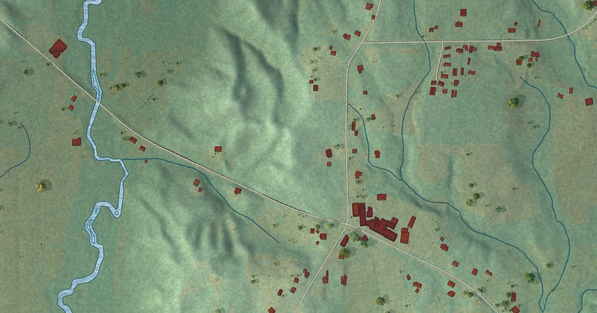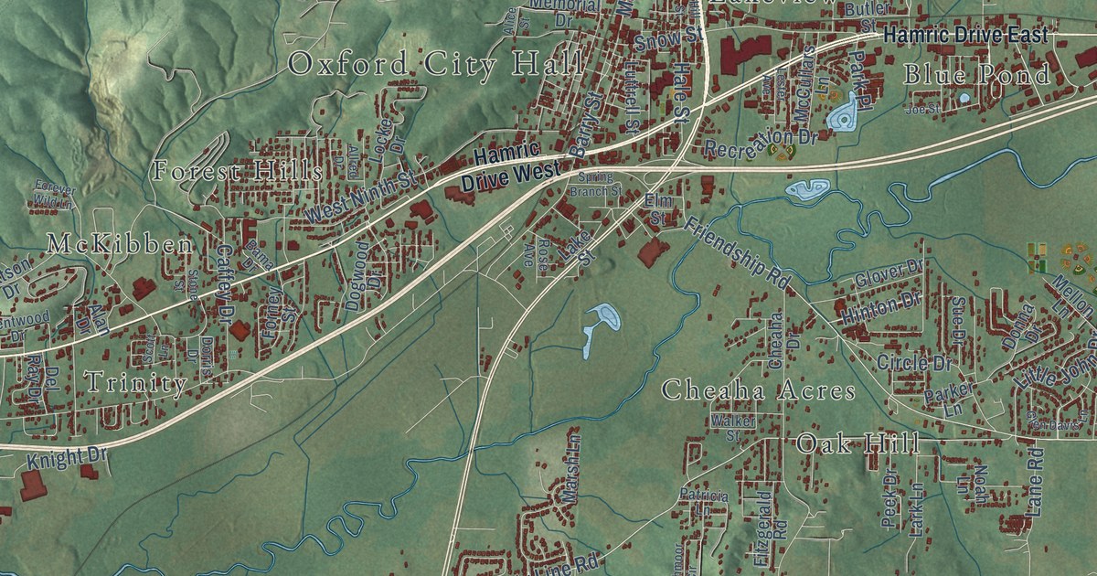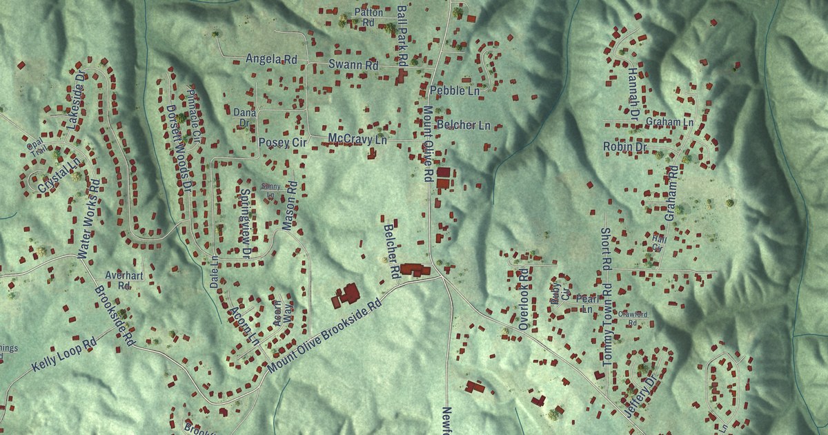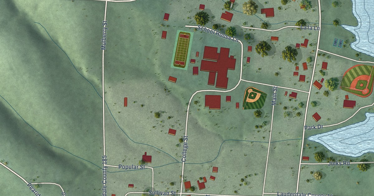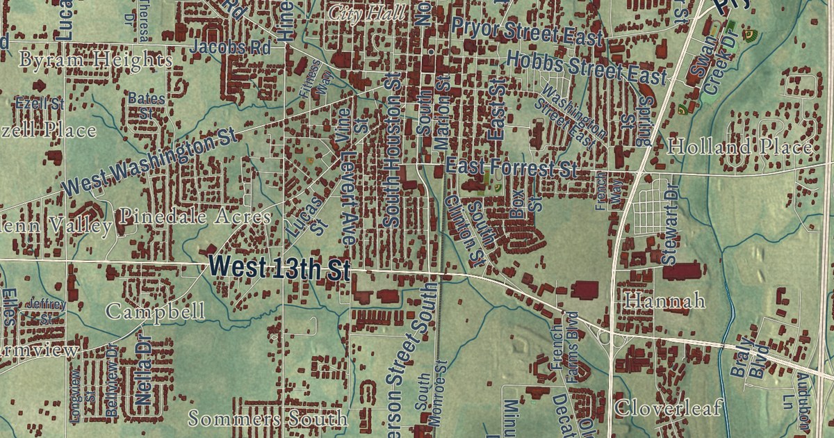
This beautifully detailed map of Athens, Alabama was created in 2026 using aerial imagery combined with modern topographical, census, street and landmark data. It’s a one-of-a-kind view of Athens that combines accurate data with a vintage aesthetic. The map shows every building in its true location, many of the roads carry their names, and the shaded topographic relief shows the shape of the land.
Explore an aerial view of Athens, Alabama
On the map you’ll find City Hall, Batts Heights, Belmont, Bonnie Doone, Brookwood, Brookwood Forest, Byram Heights, Campbell, Cottonwood, Country Club Acres, Country Village, Ezell Place, and more. If you look closely you can even find your house accurately drawn in its correct location. Zoom in on the preview to look for yours.
Did you know this piece of Athens, Alabama history?
From Encyclopediaofalabama.org: "Thomas Bibb, Alabama’s second governor and brother of its first governor, William Wyatt Bibb, was a resident of Athens, and his home still stands in the city."
Take a closer look at the Athens map
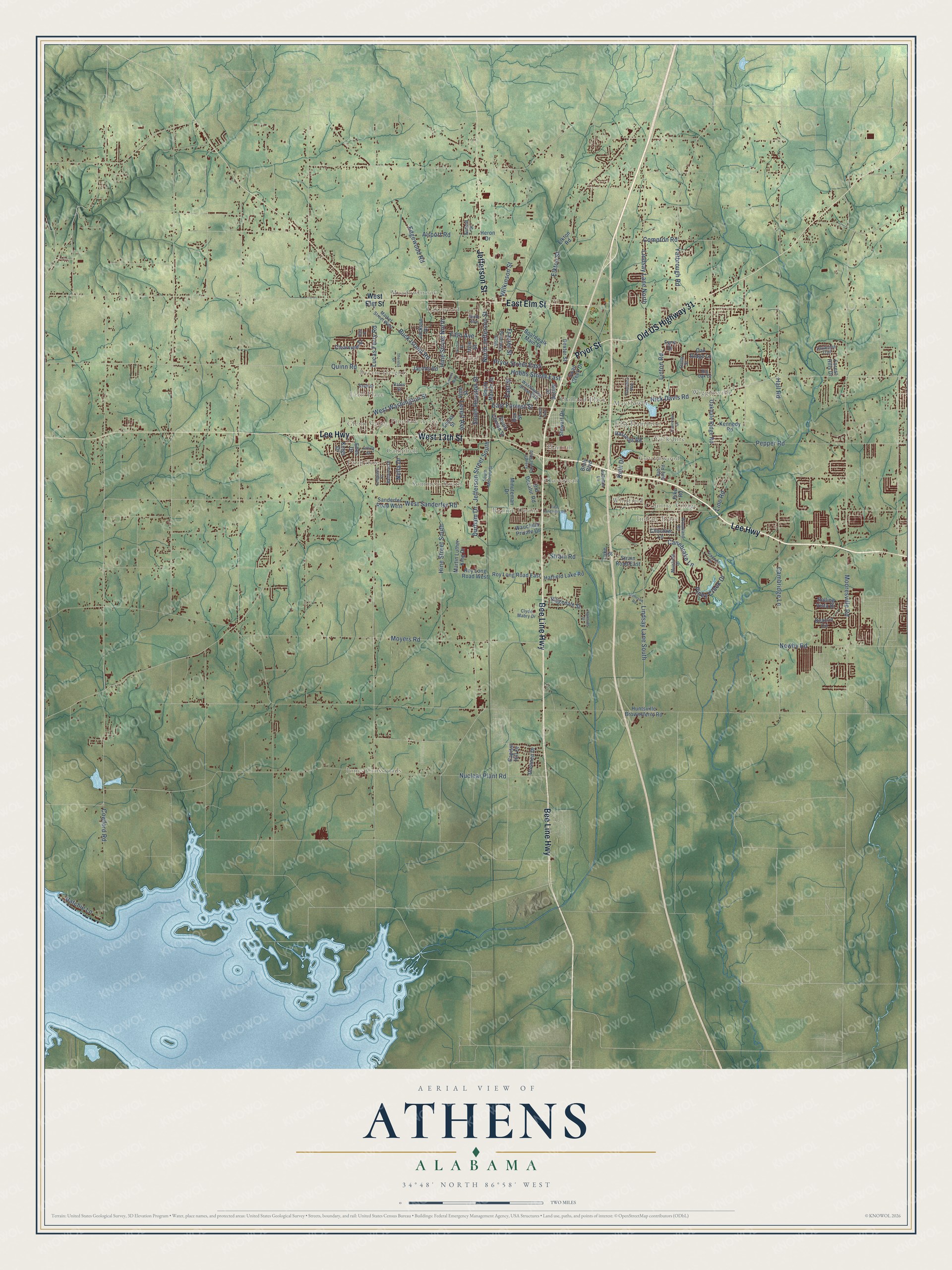
Street and place names on the Athens, Alabama map
These names are printed on the map of Athens, Alabama.
Places: City Hall, Glenn Valley, Indian Trace, Wigginsville, Jones Crossroads, East Hampton, Bonnie Doone, Byram Heights, Hannah, Meadowbrook, Sommers South, Farmview, Country Village, Pinedale Acres, Cloverleaf, Cottonwood, Holland Place, Whitfield, Ezell Place, Campbell, Yorkshire, Lakewood and Mayflower.
Streets and roads: Lee Highway, Jefferson Street, Old US Highway 31, Pryor Street, East Elm Street, Bee Line Highway, West 13th Street, East Forrest Street, Nick Davis Road, North Jefferson Street, Buck Island Road, Lindsay Lane North.
More street names, A to Z
Airfield Street, Airport Road, Audubon Lane, Bab Daly Road, Bates Street, Beacon Circle, Bellview Drive, Big Oak Drive, Blair Drive, Boardwalk Main Street, Box Street, Braly Boulevard, Cambridge Lane, Canebrake Lane, Capitol Hill Drive, Choctaw Lane, Clearview Street, Clyde Mabry Drive, Compton Road, Cowford Road, Dexter Street, Drennen Drive, Durham Drive, East Sanderfer Road, East Street, Edgewood Road, Elkton Road, Elkton Street, Elles Drive, Ezell Street, Fifth Avenue, Fitness Way, Forest Hills Drive, Founders Circle, Frazier Street, French Farms Boulevard, French Way, Fyne Drive, Hall Road, Hastings Road, Hatchie Lane, Hatfield Lake Road, Heron Drive, Hine Street North, Hine Street South, Hobbs Street East, Horton Street, Huntsville Brownsferry Road, Ingleside Street, Irvin Street, Jackson Drive, Jacobs Road, Jefferson Street South, Jeffrey Street, Johnson Road, Kelli Drive, Kennedy Road, Kings Drive, Levert Avenue, Lindsay Lane South, Line Road, Linton Road, Longview Street, Lucas Ferry Road, Lucas Street, Luke Street, Market Street West, Martin Luther King Drive, Minuteman Drive, Mooresville Road, Moyers Road, Muirfield Drive, Nella Drive, Newby Road, Ninth Avenue, North Clinton Street, Nuclear Plant Road, Oakdale Ridge Road, Oak Ridge Lane, Old Decatur Road, Pepper Road, Pike Road, Piney Creek Drive, Plantation Way, Pryor Street East, Quinn Road, Ridgedale Street, Rolling Vista Drive, Roy Long Road East, Roy Long Road West, Sanderfer Road West, Savannah Trail, South Clinton Street, South Houston Street, South Marion Street, South Monroe Street, Spring Street, Stella Street, Stewart Drive, Strain Road, Strain Road East, Swan Creek Drive, Theresa Drive, Travertine Drive, Vine Street, Washington Street East, Wauchula Private Drive, West Elm Street, West Sanderfer Road, West Washington Street, Wilkinson Street, Woodland Road, Yarbrough Road.
See the Athens, Alabama map on a wall
The Athens map as an 18 x 24 inch print in a black frame.

This beautifully detailed map of Athens makes an attractive addition to your office, library, or den, and it can even be used to teach children the geography and history of the area. It also makes a great gift for anyone who grew up in Athens or moved away. When you’re done exploring, click here to get your copy of the Athens map.