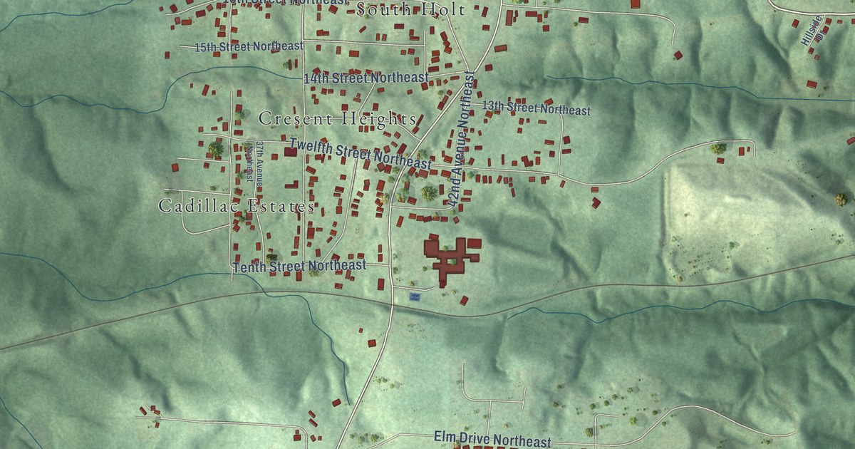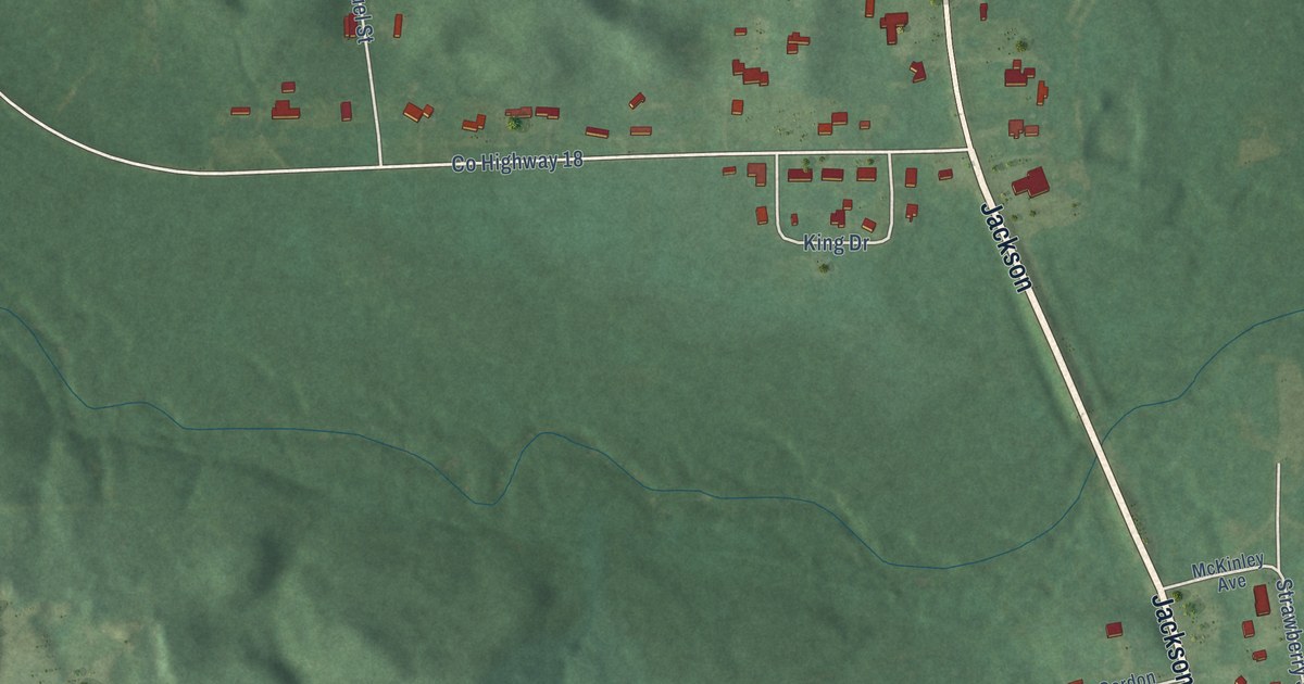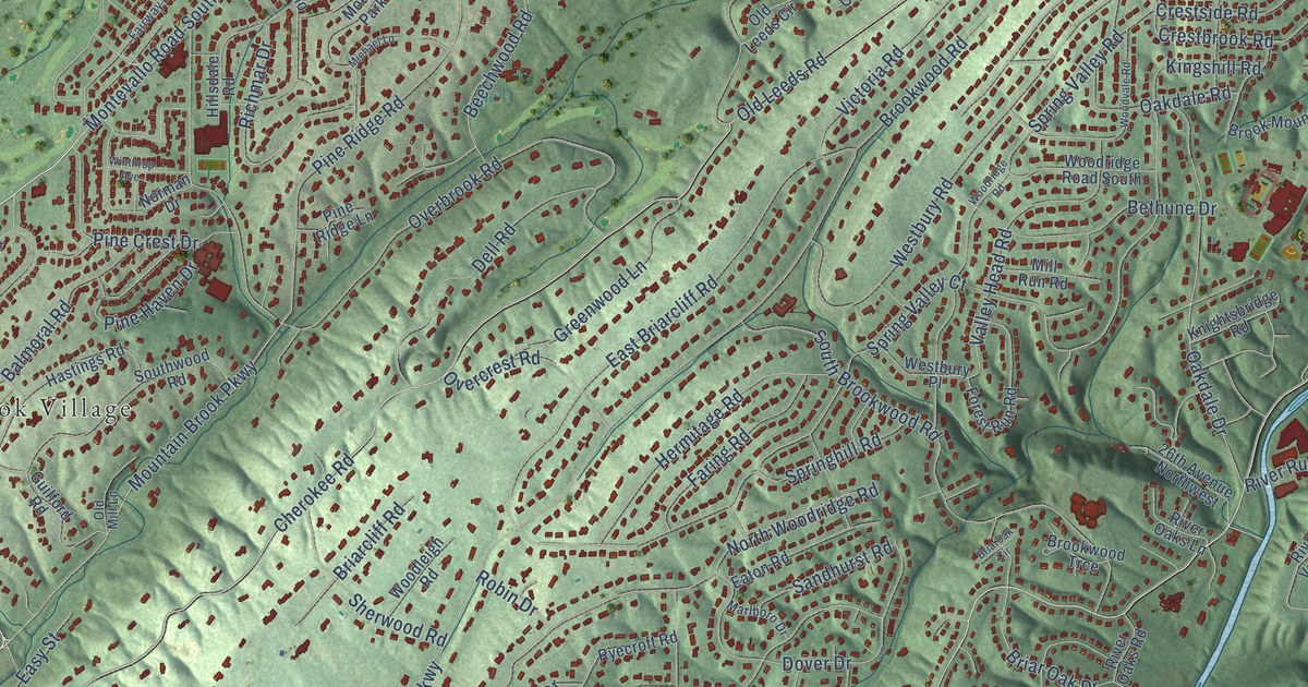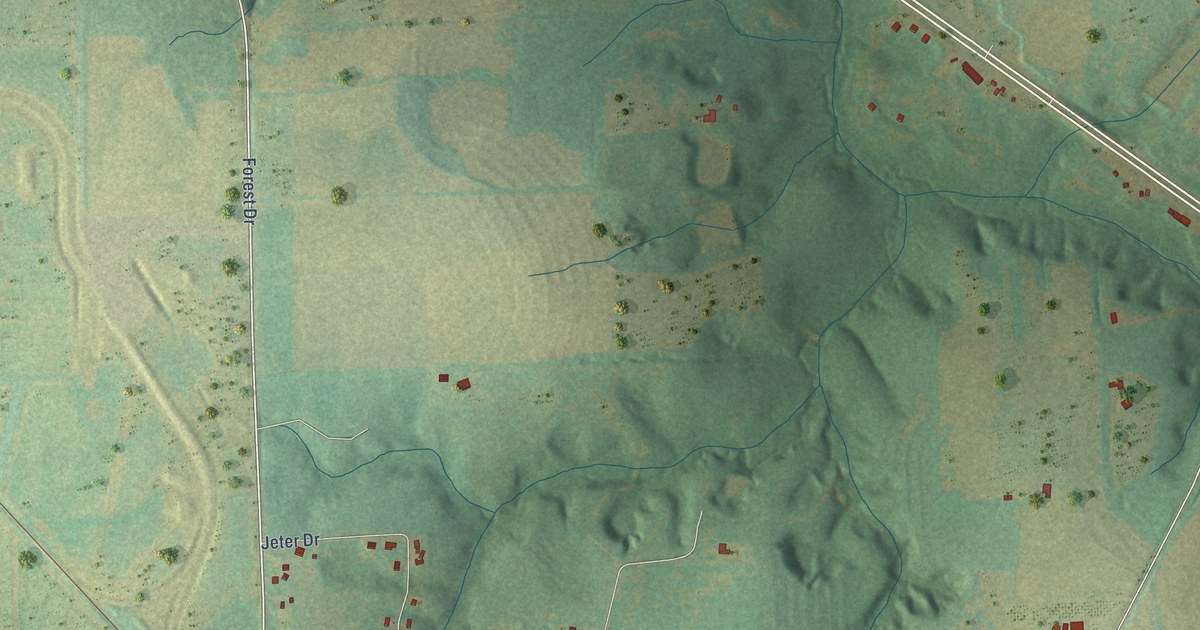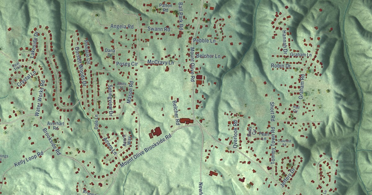
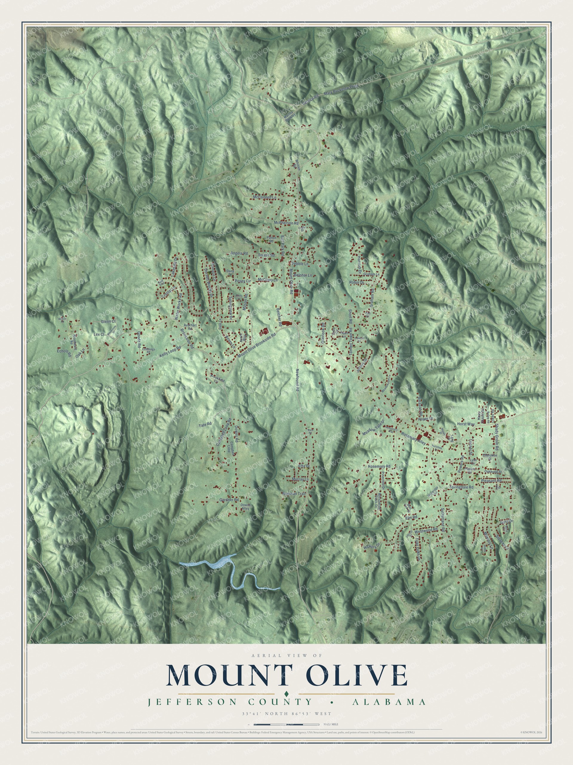
This beautifully detailed map of Mount Olive, Alabama was created in 2026 using aerial imagery combined with modern topographical, census, street and landmark data. It's a modern aerial view of Mount Olive in Jefferson County, Alabama, that combines modern data with a vintage aesthetic. The roads feature printed names, and if you look closely you can find your exact house accurately shown in its correct location.
Explore an aerial view of Mount Olive, Alabama
On this map you'll find Brookside Road, Service Road, Mount Olive Brookside Road, Mount Olive Road, Newfound Road, McCravy Lane, Swann Road, Shady Grove Road, Downs Road, Sutherland Road, Kelly Loop Road, Rosemary Road, and more. Each red shape is a building, so zoom in on the preview and look for yours.
Here is a piece of Mount Olive history. First Baptist Church of Mount Olive began in 1883, and its congregation first met in a log cabin. The tiny church bought its land from the Louisville and Nashville Railroad for three dollars, stayed a one-room building through the 1940s and was warmed by a coal heater through the 1980s. From 1883 through the end of 2007, 2,329 people were baptized there. That's from the Alabama Baptist.
Mount Olive is a community in Jefferson County. The Census Bureau counted 4,427 people here in 2020.
Take a closer look at the Mount Olive map
Names on this map
These names are printed on this map.
Streets and roads: Brookside Road, Service Road, Mount Olive Brookside Road, Mount Olive Road, Newfound Road, McCravy Lane, Swann Road, Shady Grove Road, Downs Road, Sutherland Road, Kelly Loop Road, Rosemary Road.
More street names, A to Z
Acorn Lane, Acorn Way, Amason Road, Angela Road, Averhart Road, Ball Park Road, Belcher Lane, Belcher Road, Biddle Circle, Bluff View Road, Boling Road, Brookfield Circle, Brookstone Drive, Cagle Drive, Campbell Loop, Campbell Loop Road, Cherokee Street, Crawford Road, Crystal Lane, Cummings Road, Dale Lane, Dana Drive, Dorsett Woods Drive, Downs Alley, Echols Road, Elm Road, Etta Drive, Gardner Road, Gary Drive, Glenn Court, Goode Road, Graham Lane, Graham Road, Hall Circle, Hannah Drive, Happy Street, Hartsfield Drive, Hickory Drive, Hicks Chapel Road, Horst Way, Jeffery Drive, Lakeside Drive, Lang Drive, Lazy Drive, Lex Court, Locust Drive, Lykes Road, Lynn Circle, Mack Road, Martha Buckley, Mary Buckelew Parkway, Mason Road, McConnell Lane, McPherson Road, Meadow Tate Drive, Meadowview Lane, Memory Lane, Murray Lane, Nena Circle, Newman Trail, Oakhurst Street, Oak Lane, Opal Trail, Overlook Road, Patton Road, Pearl Lane, Pebble Lane, Pinecrest Drive, Pinnacle Circle, Pleasant Road, Posey Circle, Powers Circle, Powers Road, Robin Drive, Roper Drive, Rosemary Alley, Rosemary Way, Ruby Circle, Short Road, Springdale Road, Springview Drive, Stevens Court, Sunny Lane, Tanner Street, Tate Road, Tommy Town Road, Tyler Oaks Drive, Water Works Road, Weaver Road, Westwood Road, Whispering Pines Drive, Whitten Road, Woodridge Trail, Woodward Road.
See it on a wall
The Mount Olive, Jefferson County map as a framed print. Swipe for more.


Created by KNOWOL in 2026. The buildings are small red shapes, the roads carry their printed names, and shaded relief shows the shape of the land. The title panel reads "AERIAL VIEW OF MOUNT OLIVE, JEFFERSON COUNTY • ALABAMA" with 33°41' NORTH 86°53' WEST.
It suits a den, a classroom or a front hall, and it makes a gift for anyone with Mount Olive roots. Open the preview and find the block you know. See sizes and frames for the Mount Olive, Jefferson County map.