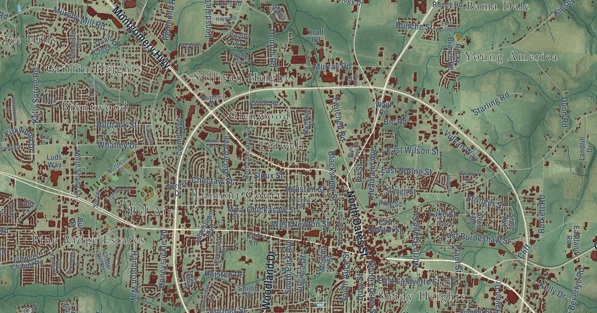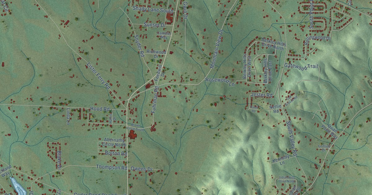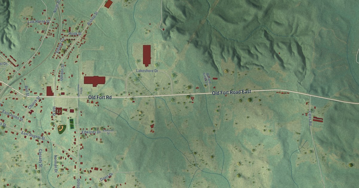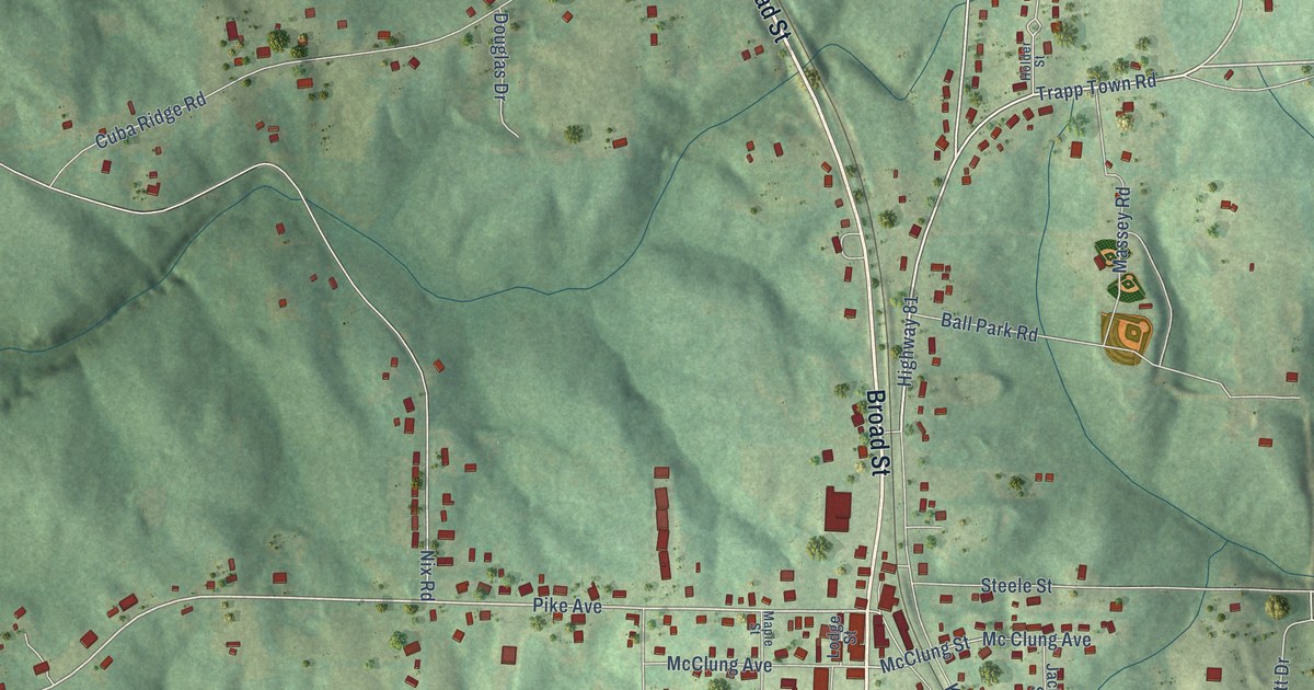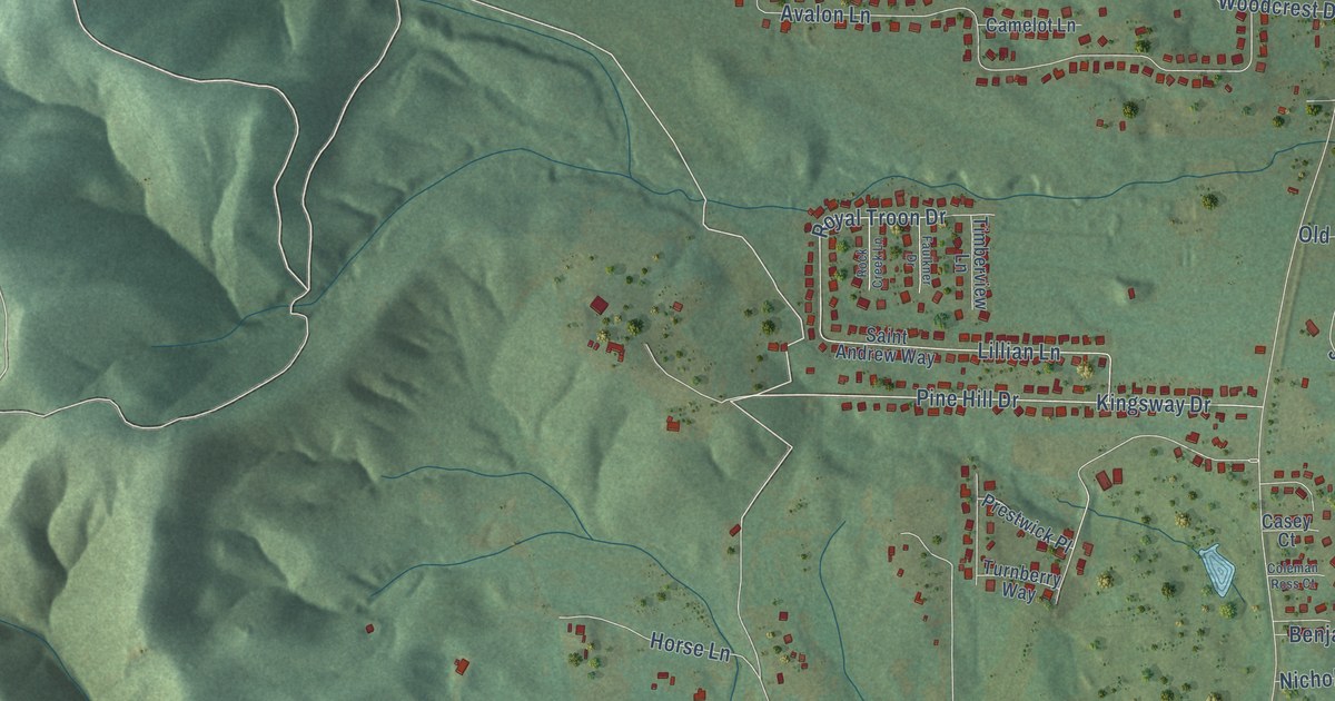
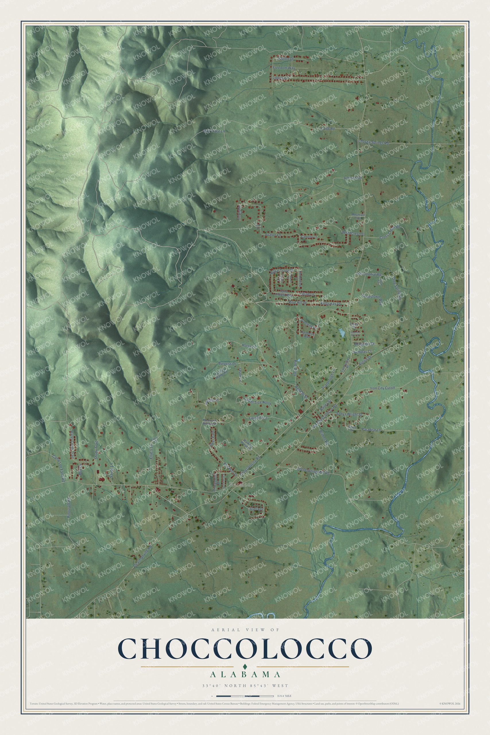
This beautifully detailed map of Choccolocco, Alabama was created in 2026 using aerial imagery combined with modern topographical, census, street and landmark data. It's a modern aerial view of Choccolocco in Calhoun County, Alabama, that combines modern data with a vintage aesthetic. The roads feature printed names, and if you look closely you can find your exact house accurately shown in its correct location.
Explore an aerial view of Choccolocco, Alabama
On this map you'll find Harmony, Dearmanville Road, Choccolocco Road, Old Choccolocco Road, Avalon Lane, Pine Hill Drive, Antioch Road, Old Downing Mill Road, Erickton Drive, Kingsway Drive, Reneau Street, Lillian Lane, and more. Each red shape is a building, so zoom in on the preview and look for yours.
Every town has a first chapter, and Choccolocco is no exception. Choccolocco, a village on the Southern Railroad in Calhoun County, shares its name with a large creek. The name means big shoal, from the Creek language words for shoal and big, and in 1844 the stream was recorded as Chockolocko or Big Shoal Creek. The Choccolocco Valley lies between the Choccolocco Mountains on the northwest and the hills of southeast Talladega County. That's from the Indian Place Names in Alabama book.
Choccolocco is a community in Calhoun County. The Census Bureau counted 2,838 people here in 2020.
Take a closer look at the Choccolocco map
Names on this map
These names are printed on this map.
Places: Harmony.
Streets and roads: Dearmanville Road, Choccolocco Road, Old Choccolocco Road, Avalon Lane, Pine Hill Drive, Antioch Road, Old Downing Mill Road, Erickton Drive, Kingsway Drive, Reneau Street, Lillian Lane, Liberty Lane.
More street names, A to Z
Austin Drive, Bailey Street, Bee Cv, Benjamin Court, Brimer Road, Buckingham Place, Burgess Drive, Camelot Lane, Camp Lee Farm Road, Carnoustie Place, Casey Court, Choccolocco Drive, Chosea Springs Road, Cobb Road, Coleman Ross Court, Country Manor Road, Cross Creek Road, Deer Path, Eastwood Drive, Ellie's Lane, Ellies Lane, Faulkner Drive, Freedom Way, Gains Circle, Hazel Creek Trail, Horse Lane, Iron City Cutoff, Jamestown Way, Jason Lane, Justice Drive, Laurel Trce, Laurel Trce North, Mountain Breeze Street, Mountain Trail, Nicholas Court, Oak Trace Lane, Oak Trce, Old Colonial Road, Olde Spring Road, Paradise Lane, Pilgrims Path, Pine Alley, Pinecroft Road, Prestwick Place, Restful Place, Rock Creek Lane, Royal Troon Drive, Saint Andrew Way, Sandy Lane, Scarbrough Lane, Shady Trail, Sonya Wright Street, Starla Drive, Timberview Lane, Turnberry Way, Walking Horse Lane, Woodcrest Drive.
See it on a wall
The Choccolocco map as a framed print. Swipe for more.


Created by KNOWOL in 2026. The buildings are small red shapes, the roads carry their printed names, and shaded relief shows the shape of the land. The title panel reads "AERIAL VIEW OF CHOCCOLOCCO, ALABAMA" with 33°40' NORTH 85°43' WEST.
Hang it in the hallway, the office or the cabin, or give it to someone who left Choccolocco and still calls it home. Open the preview and look for a street you know. See sizes and frames for the Choccolocco map.