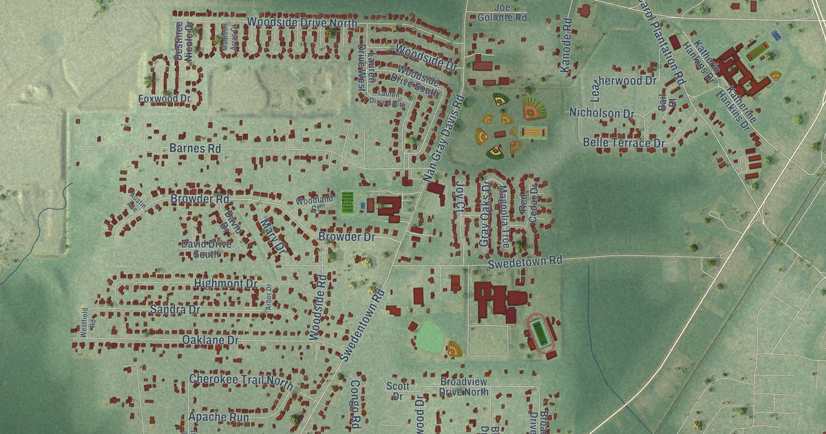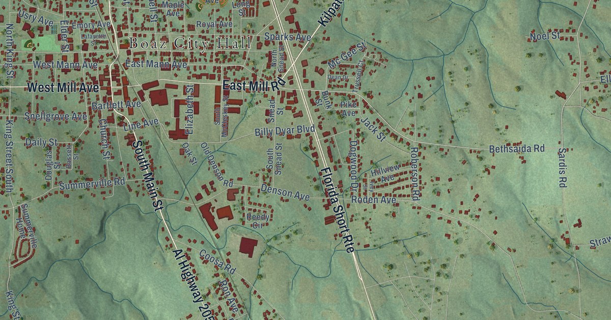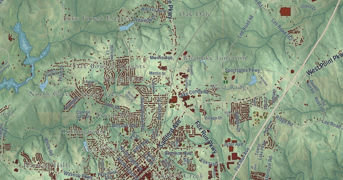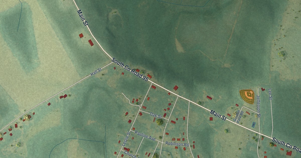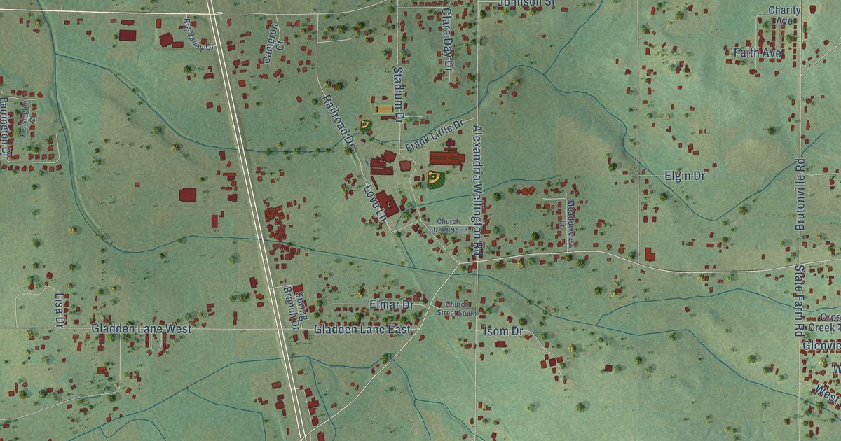
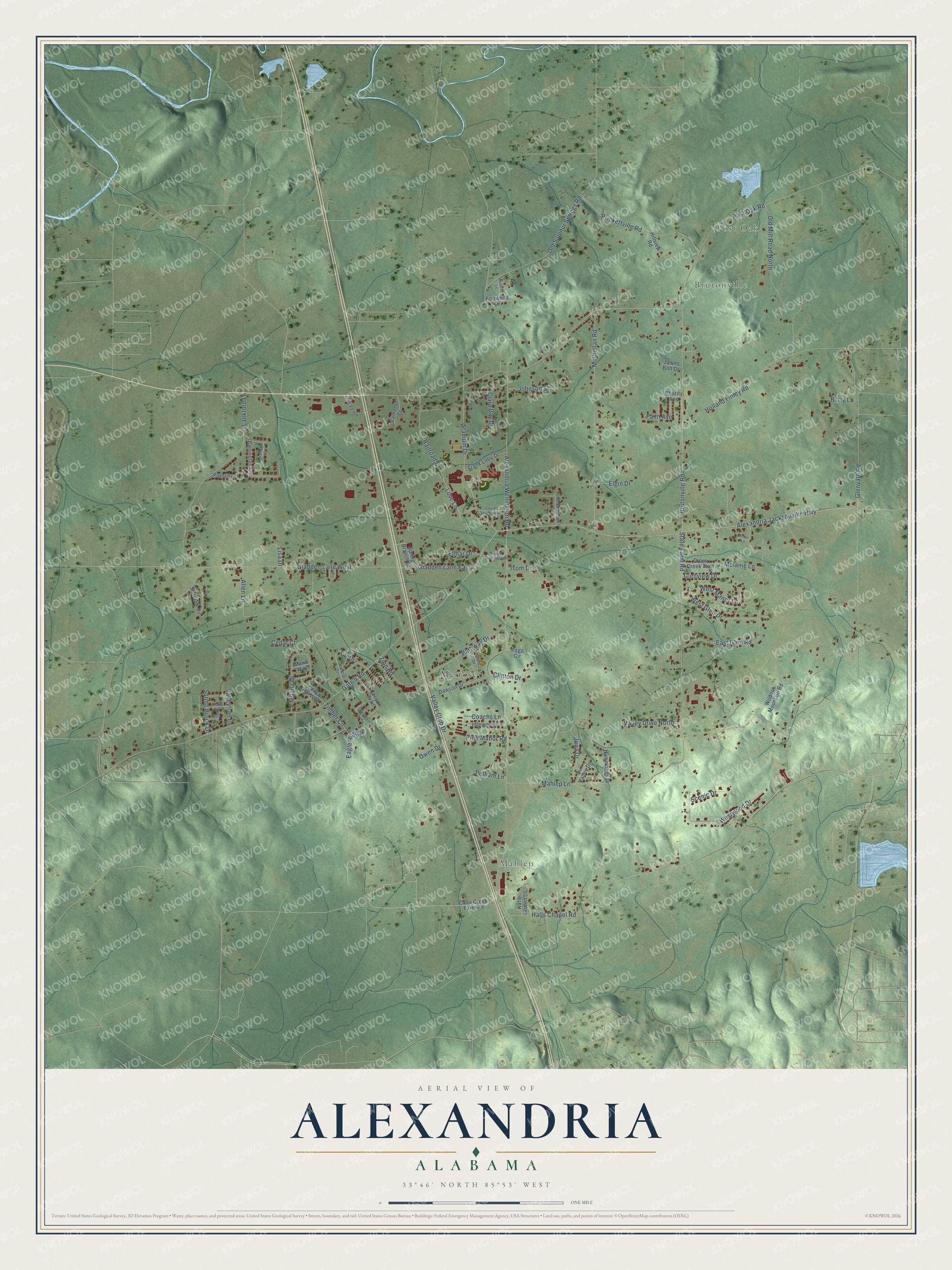
This beautifully detailed map of Alexandria, Alabama was created in 2026 using aerial imagery combined with modern topographical, census, street and landmark data. It's a modern aerial view of Alexandria in Calhoun County, Alabama, that combines modern data with a vintage aesthetic. The roads feature printed names, and if you look closely you can find your exact house accurately shown in its correct location.
Explore an aerial view of Alexandria, Alabama
On this map you'll find Post Oak, Brutonville, Mahlep, Melrose, Jona Drive, Eagle Ridge, Post Oak Road, Timber Circle, Lai Drive, Alexandria Wellington Road, Alexandria Jacksonville Highway, Glenvale Road, and more. Each red shape is a building, so zoom in on the preview and look for yours.
Here is a piece of Alexandria history. The Alexandria Historical Preservation Society restored the Alexandria post office building to its original form. Anniston attorney Bill Broome remembered coming home from college in 1977 and waking postmaster Nellie Gunter at about 5:30 one morning so he could go through the mail bag on the back steps for his bar exam results. He had passed. That's from the Anniston Star.
Alexandria is a community in Calhoun County. The Census Bureau counted 4,032 people here in 2020.
Take a closer look at the Alexandria map
Names on this map
These names are printed on this map.
Places: Post Oak, Brutonville, Mahlep and Melrose.
Streets and roads: Jona Drive, Eagle Ridge, Post Oak Road, Timber Circle, Lai Drive, Alexandria Wellington Road, Alexandria Jacksonville Highway, Glenvale Road, State Farm Road, Gate 5 Road, Halls Chapel Road, Gladden Lane West.
More street names, A to Z
Allen Lane, Barrington Circle, Berry Lane, Big Valley Drive, Billy Circle, Brutonville Road, Cameron Court, Cane Creek Farm Road, Canyon Trail, Cedar Court, Cedar Lane, Charity Avenue, Chestnut Place, Church Street North, Church Street South, Clara Day Drive, Clinic Drive, Clinton Drive, Coachs Lane, Cross Creek Trail, Dawson Drive, East Glen Road, Elgin Drive, Elmar Drive, Fairwood Drive, Faith Avenue, Frank Little Drive, Gladden Lane East, Glenview Drive, Hammonds Drive, Hillview Road, Holland Finley Road, Idlewood Circle, Isom Drive, James Bolt Drive, Johnson Street, Katie Lauren Lane, Kensington Court, Konya Kai Way, Lankford Lane, Lisa Drive, Love Lane, Mahlep Lane, Malia Way, McClellan Road, Meadowview Lane, Melanie Lane, Moana Drive, Old Mill Road North, Old Sulphur Springs Road, Oriental Drive, Owen Drive, Page Circle, Pattiway Drive, Pelham Lane, Pine Manor Road, Pinetree Lane, Prickettville Road, Railroad Drive, Ridgeview Drive, Scenic Drive, Shurbutt Circle, Spring Branch Drive, Spring Brook Drive, Stadium Drive, Sun Valley Drive, Valley Club Drive, Valley Drive North, Valleytrail Lane, Vista Lane, West Glen Drive, West Manor Lane, Westwood Drive, Wildoak Mountain Road, Zion Road.
See it on a wall
The Alexandria map as a framed print. Swipe for more.


Created by KNOWOL in 2026. The buildings are small red shapes, the roads carry their printed names, and shaded relief shows the shape of the land. The title panel reads "AERIAL VIEW OF ALEXANDRIA, ALABAMA" with 33°46' NORTH 85°53' WEST.
It suits a den, a classroom or a front hall, and it makes a gift for anyone with Alexandria roots. Open the preview and find the block you know. See sizes and frames for the Alexandria map.