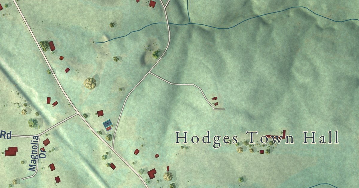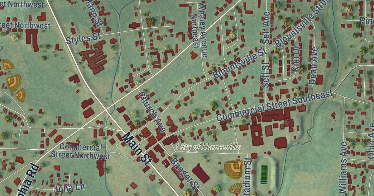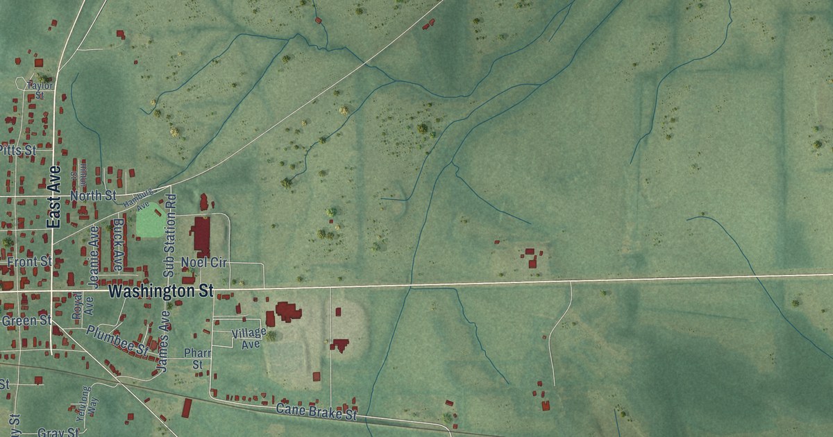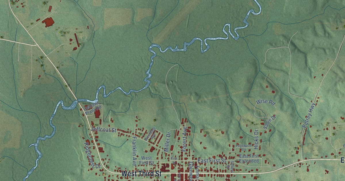
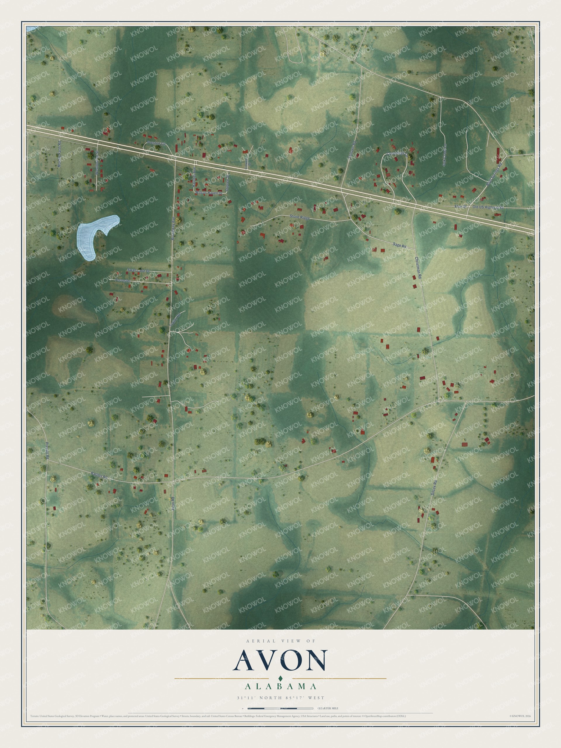
This beautifully detailed map of Avon, Alabama was created in 2026 using aerial imagery combined with modern topographical, census, street and landmark data. It’s a one-of-a-kind view of Avon that combines accurate data with a vintage aesthetic. The map shows every building in its true location, many of the roads carry their names, and the shaded topographic relief shows the shape of the land.
Explore an aerial view of Avon, Alabama
On the map you’ll find Stone Ridge and Forrester, along with Trailor Road, Bluff Springs Road, Cummings Circle, Wilson Haven Drive, Battles Road, Broadway Avenue, Christmas Road, Silcox Road, Sage Road, Prevatt Road, and more. If you look closely you can even find your house accurately drawn in its correct location. Zoom in on the preview to look for yours.
Did you know this piece of Avon, Alabama history?
From the Encyclopedia of Alabama: "In the late 1950s, citing unfair pricing practices by the utility then supplying the town with electricity, civic leaders petitioned Alabama Power to become its power provider. They were informed that the town had to incorporate before making such a request and did so in January 1957, taking the name Avon."
Take a closer look at the Avon map
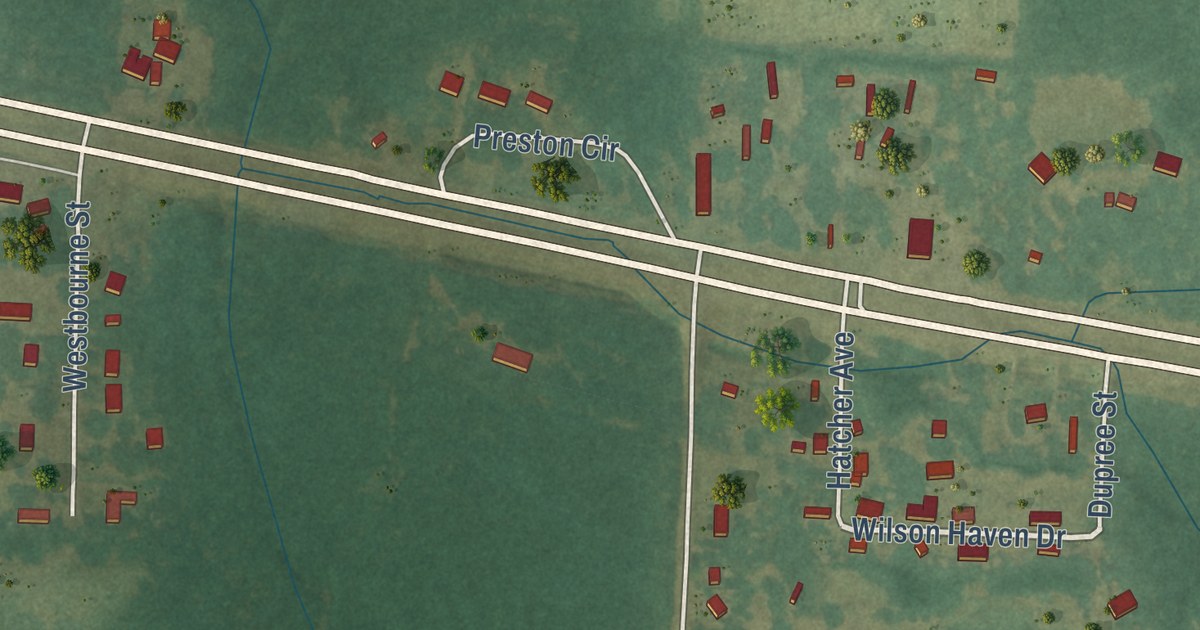
Street names on the Avon, Alabama map
These names are printed on the map of Avon, Alabama.
Streets and roads: Trailor Road, Bluff Springs Road, Cummings Circle, Wilson Haven Drive, Battles Road, Broadway Avenue, Christmas Road, Silcox Road, Sage Road, Stone Ridge, Prevatt Road, Forrester.
More street names, A to Z
Avon Road, Crowell Drive, Dupree Street, Eton Street, Fellows Road, Hatcher Avenue, Mosely Farm Road, Oak Creek Lane, Old US Highway 84, Preston Circle, Swan Lake Drive, Westbourne Street.
See the Avon, Alabama map on a wall
The Avon map as an 18 x 24 inch print in a black frame.

This beautifully detailed map of Avon makes an attractive addition to your office, library, or den, and it can even be used to teach children the geography and history of the area. It also makes a great gift for anyone who grew up in Avon or moved away. When you’re done exploring, click here to get your copy of the Avon map.