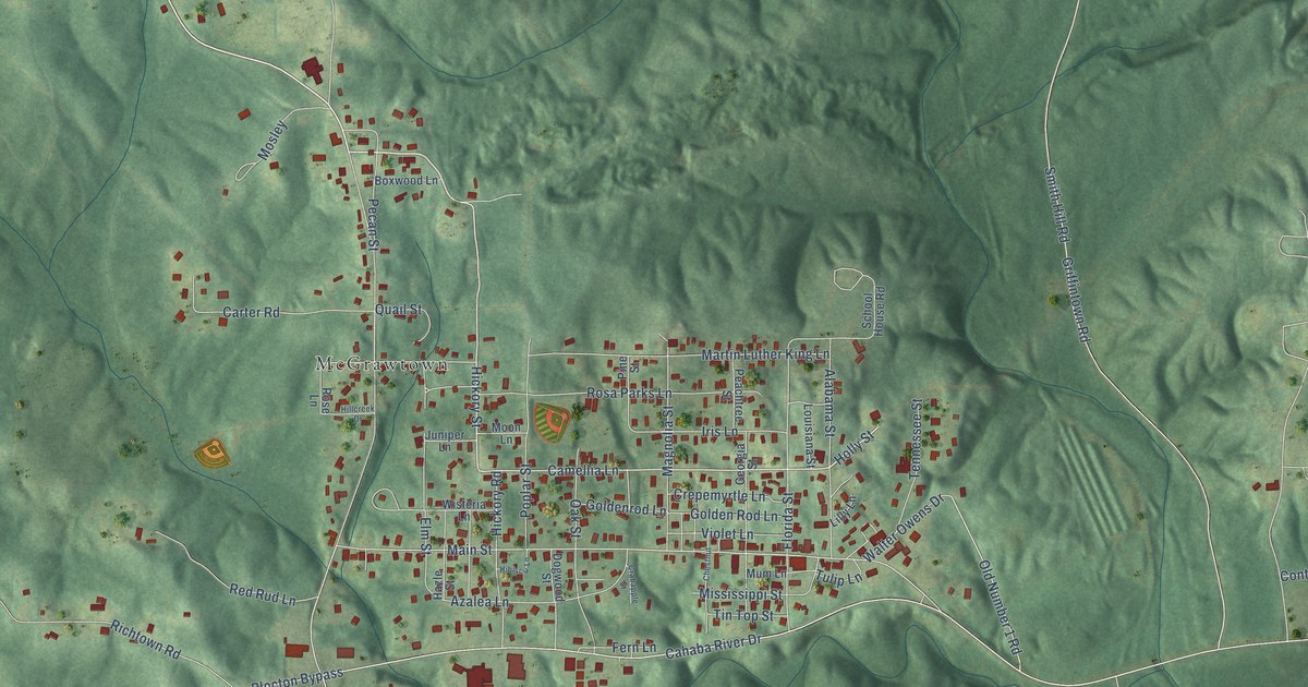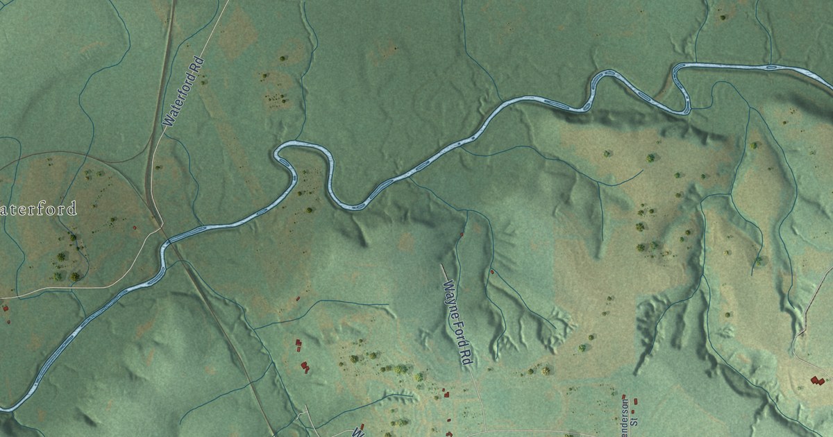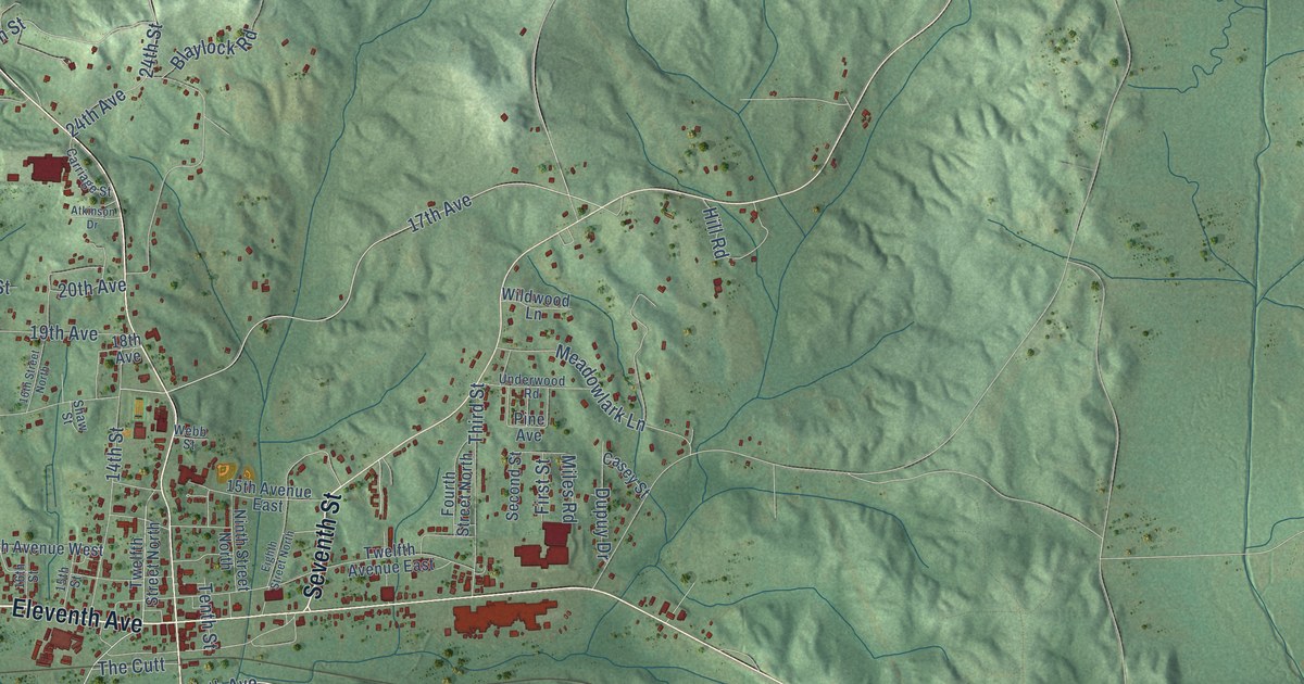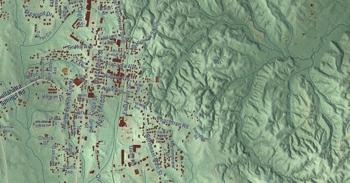
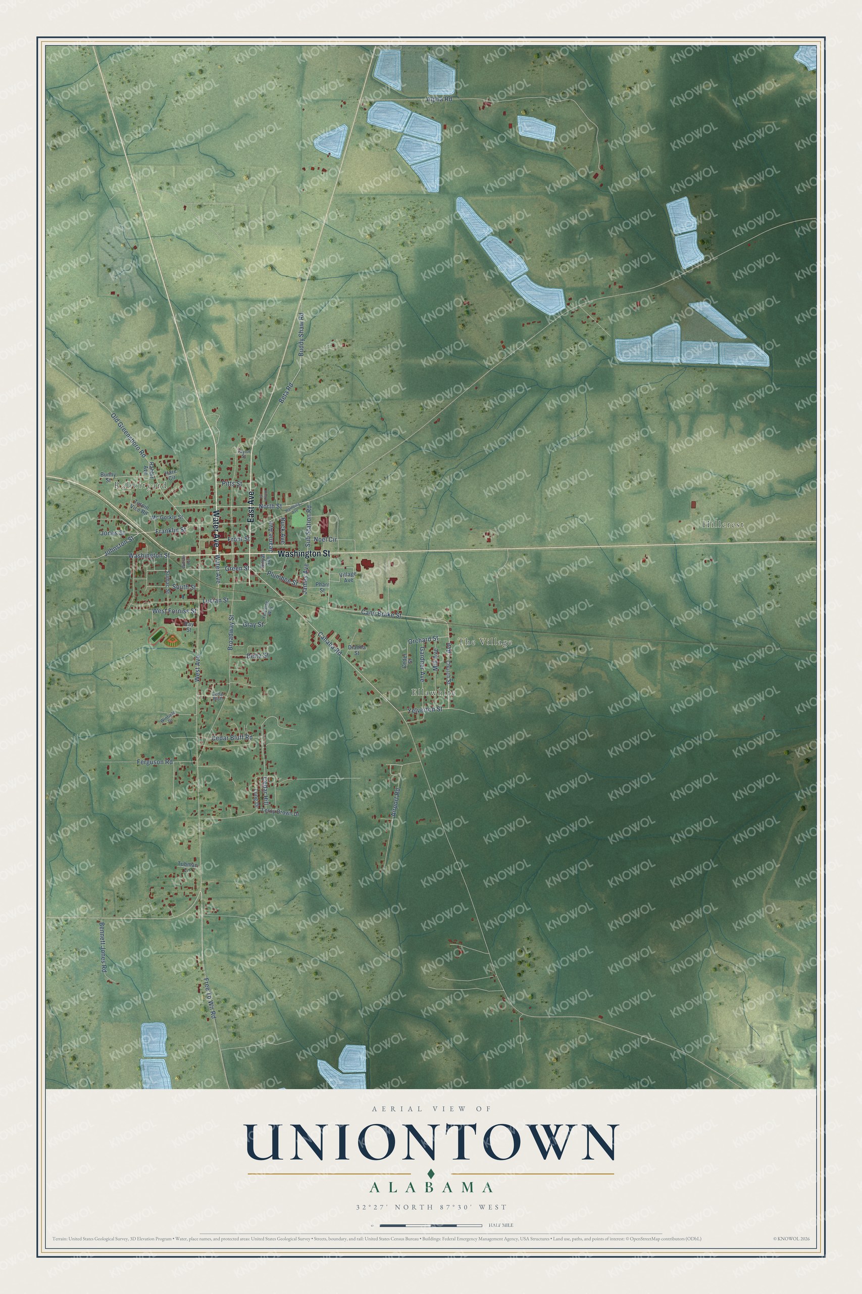
This beautifully detailed map of Uniontown, Alabama was created in 2026 using aerial imagery combined with modern topographical, census, street and landmark data. It's a modern aerial view of Uniontown in Perry County, Alabama, that combines modern data with a vintage aesthetic. The roads feature printed names, and if you look closely you can find your exact house accurately shown in its correct location.
Explore an aerial view of Uniontown, Alabama
On this map you'll find Rabbityard, Hillcrest, Ellawhite, The Village, Water Avenue, East Avenue, Washington Street, North Street, Cane Brake Street, Avenue, Orchard Street, Sub Station Road, and more. Each red shape is a building, so zoom in on the preview and look for yours.
Every town has a first chapter, and Uniontown is no exception. The record at encyclopediaofalabama.org puts it this way: "During the Civil War , Uniontown sent a number of men to fight with the Canebrake Rifle Guards, a unit named after the geographical region in which Uniontown is located, as well as in another unit known as the Independent Troop of Uniontown."
Uniontown is a city in Perry County. The Census Bureau counted 2,107 people here in 2020.
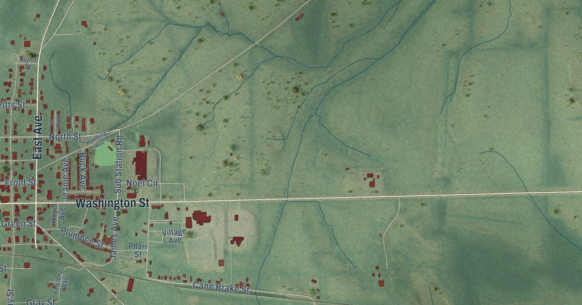
Take a closer look at the Uniontown map
Names on this map
These names are printed on this map.
Places: Rabbityard, Hillcrest, Ellawhite and The Village.
Streets and roads: Water Avenue, East Avenue, Washington Street, North Street, Cane Brake Street, Avenue, Orchard Street, Sub Station Road, Johnston Street, Free To Wn Road, Cahaba Road, Green Street.
More street names, A to Z
Airport Road, Alpha Road, Bennett Jones Road, Beta Road, Broadway Street, Buck Avenue, Buddy Shaw Road, Bunny Street, Cedar Bluff, Cedar Bluff Road, Cedar Hill, Ceder Street, Church Street, Delta Street, Dianna Street, Ferguson Road, Franklin Street, Front Street, Gardner Avenue, Gray Street, Hamburg Avenue, Hare Circle, Hinton Court, James Avenue, Jeanie Avenue, Jones Street, Leroy Brown Drive, Lucian Street, Lung Drive, Mc Gorkle Street, Mill Avenue, Noel Circle, Old Greensboro Road, Pharr Street, Pitts Street, Plumbee Street, Rabbit Avenue, Ray Street, Royal Avenue, South Street, Sumac Street, Taylor Street, Tubman Lane, Turpin Vice Road, Village Avenue, West Avenue, West Forniss Street, William Avenue, Winfield Drive, Yelverton Street, Yelvlong Way.
Created by KNOWOL in 2026. The buildings are small red shapes, the roads carry their printed names, and shaded relief shows the shape of the land. The title panel reads "AERIAL VIEW OF UNIONTOWN ALABAMA" with 32°27' NORTH 87°30' WEST.
Hang it in the hallway, the office or the cabin, or give it to someone who left Uniontown and still calls it home. Open the preview and look for a street you know. See sizes and frames for the Uniontown map.