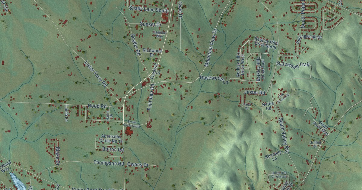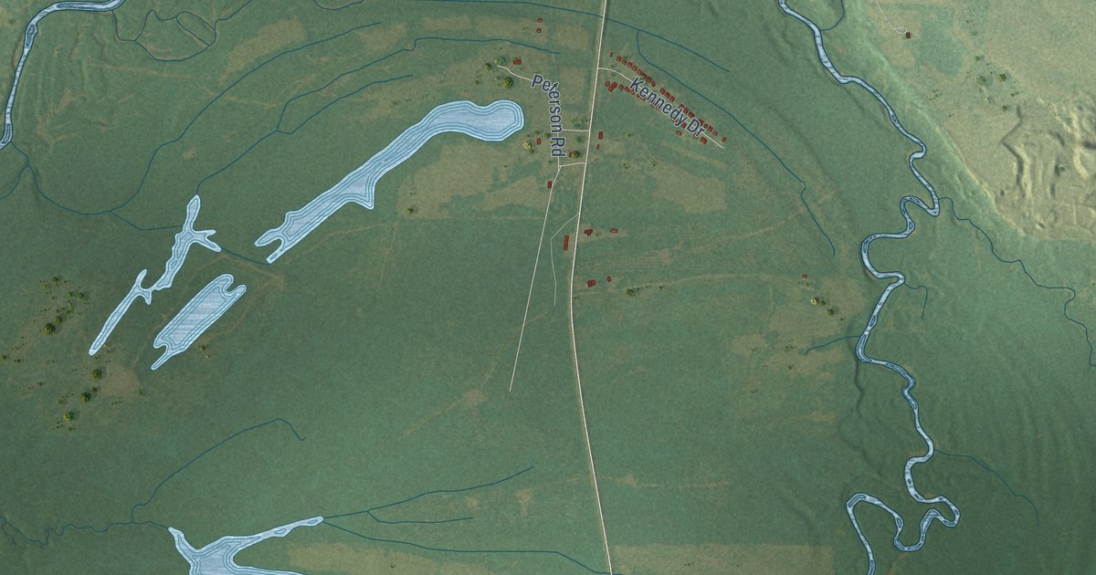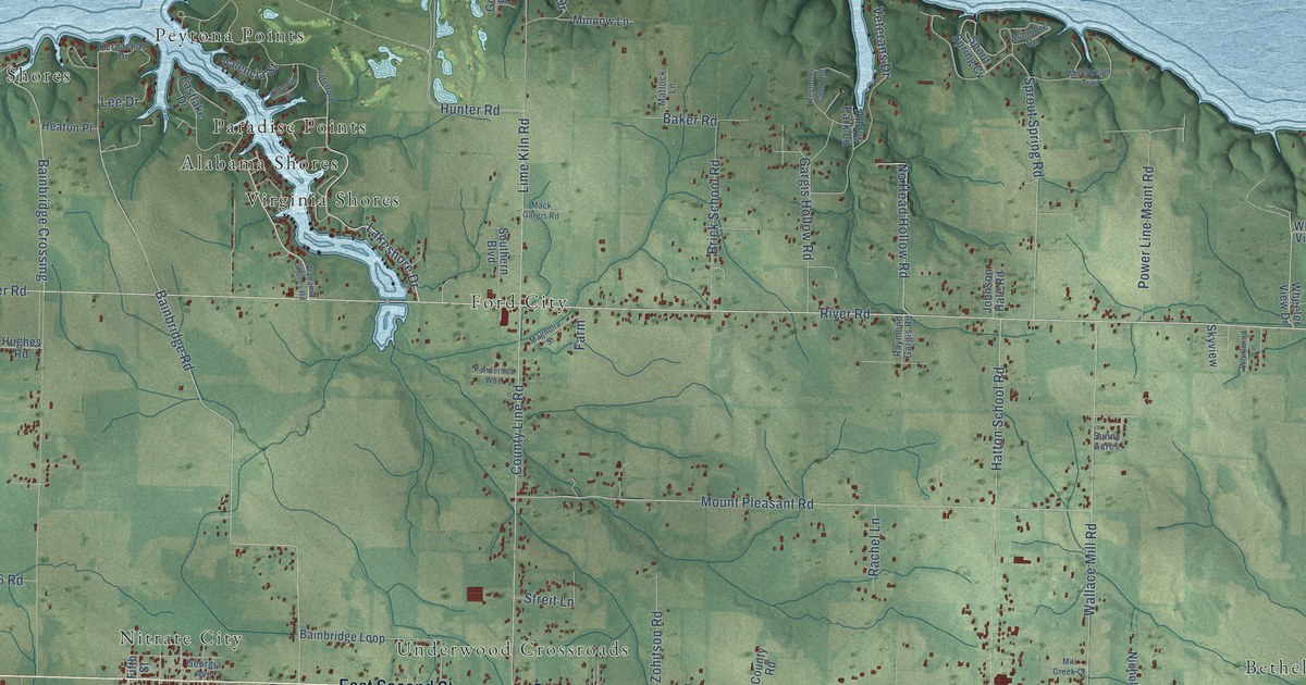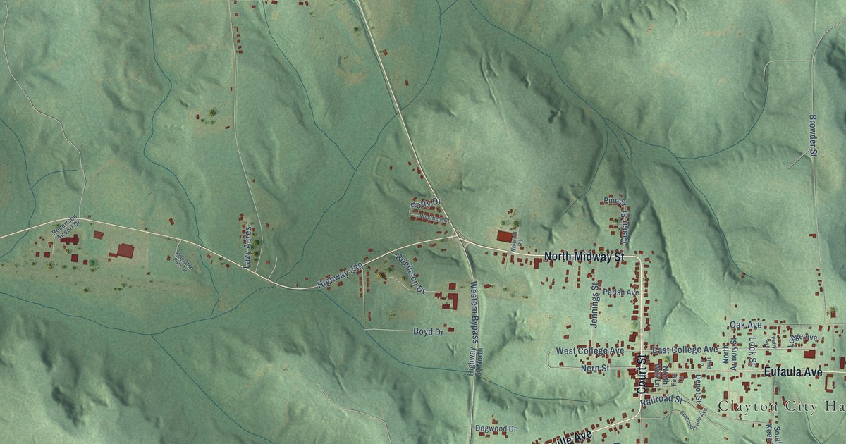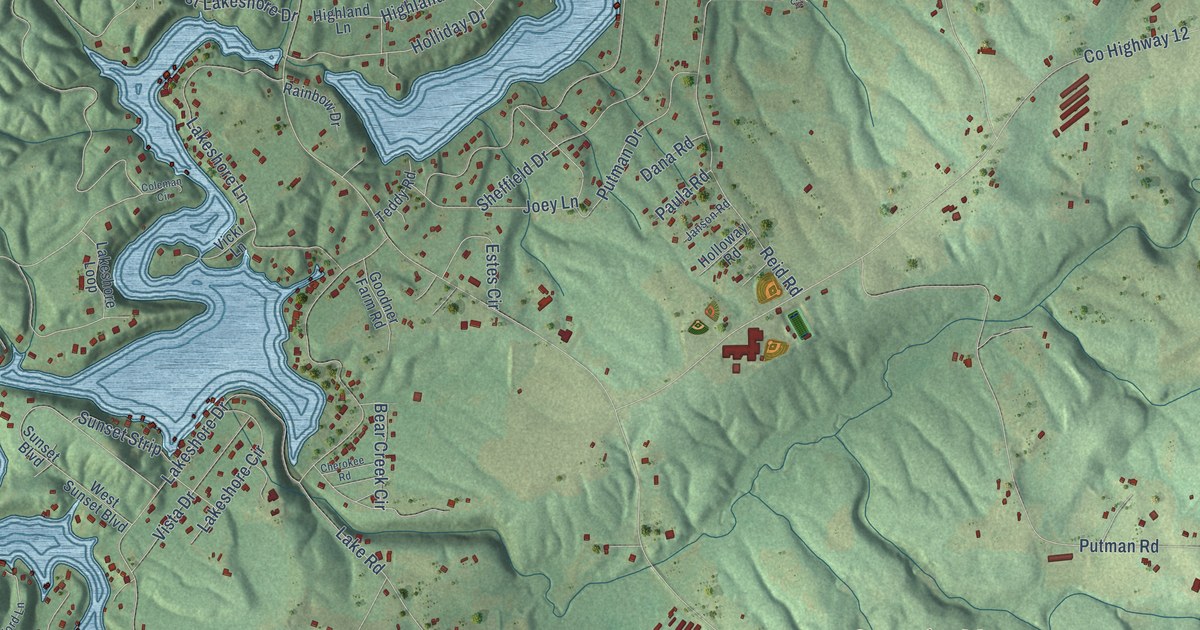
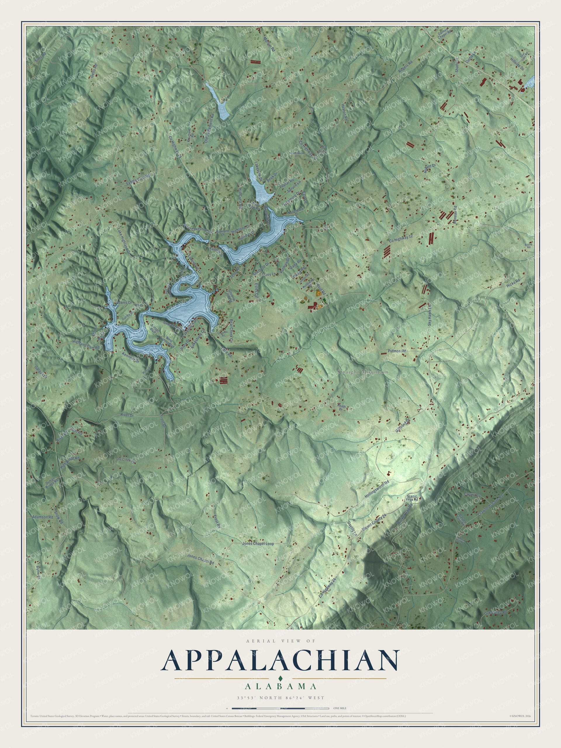
This beautifully detailed map of Appalachian, Alabama was created in 2026 using aerial imagery combined with modern topographical, census, street and landmark data. It’s a one-of-a-kind view of Appalachian that combines accurate data with a vintage aesthetic. The map shows every building in its true location, many of the roads carry their names, and the shaded topographic relief shows the shape of the land.
Explore an aerial view of Appalachian, Alabama
On the map you’ll find Straight Mountain and Blount County 24, along with County Highway 24, River Drive, River Road, County Highway 29, Highland Drive, Hicks Road, Rogers Road, Jones Chapel Road, County Highway 12, County Highway 20, and more. If you look closely you can even find your house accurately drawn in its correct location. Zoom in on the preview to look for yours.
Did You Know?
From Internet Archive: "There are schools doing from one to four years of high-school work in most of the Appalachian counties."
Appalachian is a community in Blount County.
Take a closer look at the Appalachian map
Names on this map
These names are printed on this map.
Places: Straight Mountain.
Streets and roads: County Highway 24, Blount County 24, River Drive, River Road, County Highway 29, Highland Drive, Hicks Road, Rogers Road, Jones Chapel Road, County Highway 12, County Highway 20, West Lakeshore Drive.
More street names, A to Z
Adams Drive, Adamson Road, Association Drive, Bear Creek Circle, Blossom Hollow Road, Blythe Road, Calvert Cove Road, Calvert Cv, Cherokee Road, Coleman Circle, Crawfords Cove Road, Curtis Lane, Daileys Chapel Road, Dana Road, Daylily Lane, Dorr Road, Dumas Bridge Road, East Lane, Echo Lane, Estes Circle, Four Oaks Road, Frost Drive, Frost Road, Gargus Drive, Getts Road, Gilliland Drive, Goodner Farm Road, Gurley Drive, Heath Drive, Heaton Road, Highland Dam Road, Highland Lane, High Ridge Road, Hill Crest Road, Hillside Drive, Holliday Drive, Hollingsworth Road, Holloway Road, Hullett Drive, Janson Road, Joey Lane, Jones Chapel Loop, Kennedy Drive, Lake Highland Drive, Lake Road, Lakeshore Circle, Lakeshore Drive, Lakeshore Lane, Lakeshore Loop, Lakeview Drive, Martin Drive, Morton Road, Nell Circle, Northshore Drive, Oak Valley Road, Old Settlement Road, Ole Creek Road, Paula Road, Peek Drive, Pine View Road, Poplar Road, Putman Drive, Putman Road, Rainbow Drive, Reid Road, Reneau Road, Riverside Drive, Rocky Road, Saddle Club Road, Scenic Peak Road, Sellers Cove Road, Shady Drive, Sheffield Drive, Sims Road, Sky Hawk Lane, Snow Road, Southern Road, Spruce Lane, Sunset Boulevard, Sunset Strip, Sycamore Drive, Teddy Road, Vicki Lane, Vista Drive, Walker Gap Road, West Sunset Boulevard, Williams Drive, Wofford Lane.
See it on a wall
The Appalachian map as a framed print. Swipe for more.


This beautifully detailed map of Appalachian makes an attractive addition to your office, library, or den, and it can even be used to teach children the geography and history of the area. It also makes a great gift for anyone with Appalachian roots. When you’re done exploring, click here to get your copy of the Appalachian map.