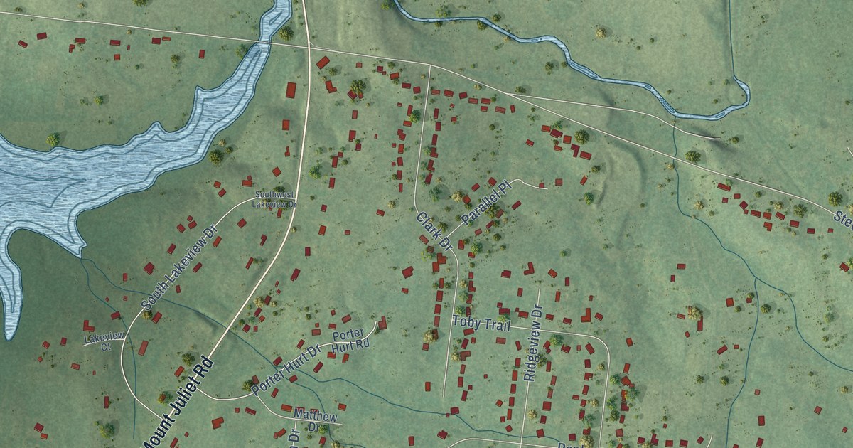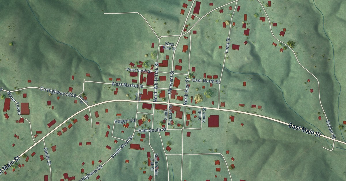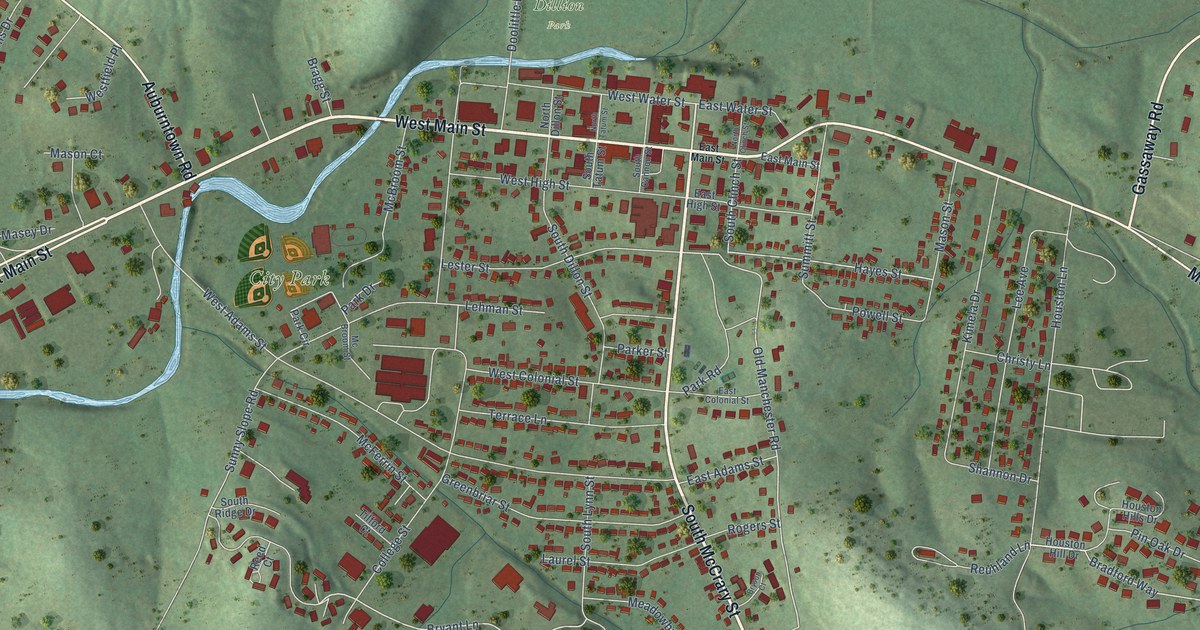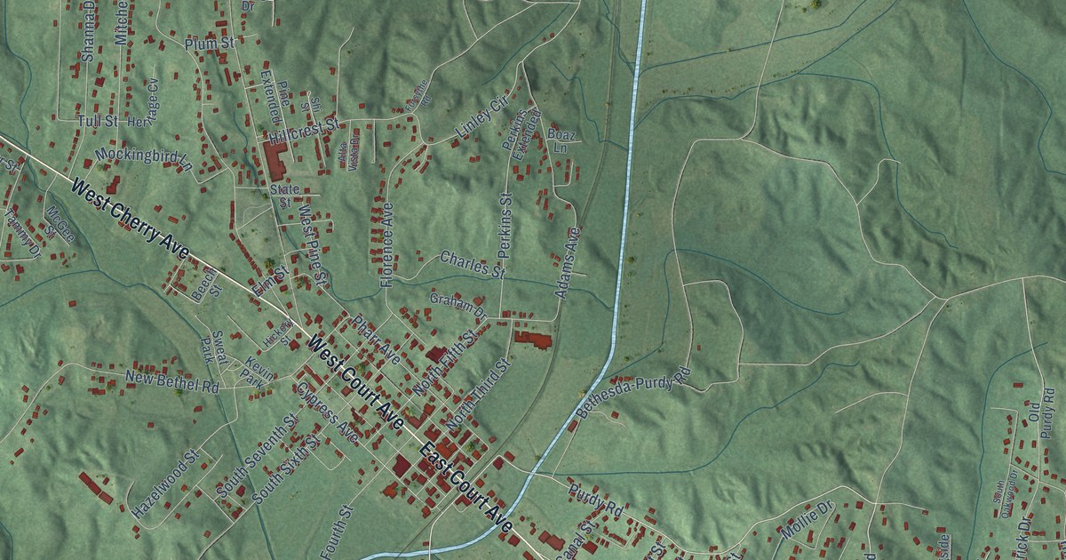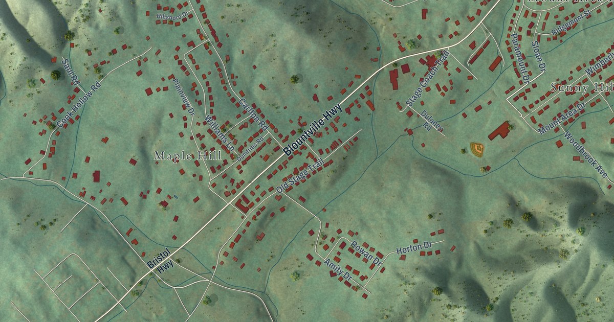
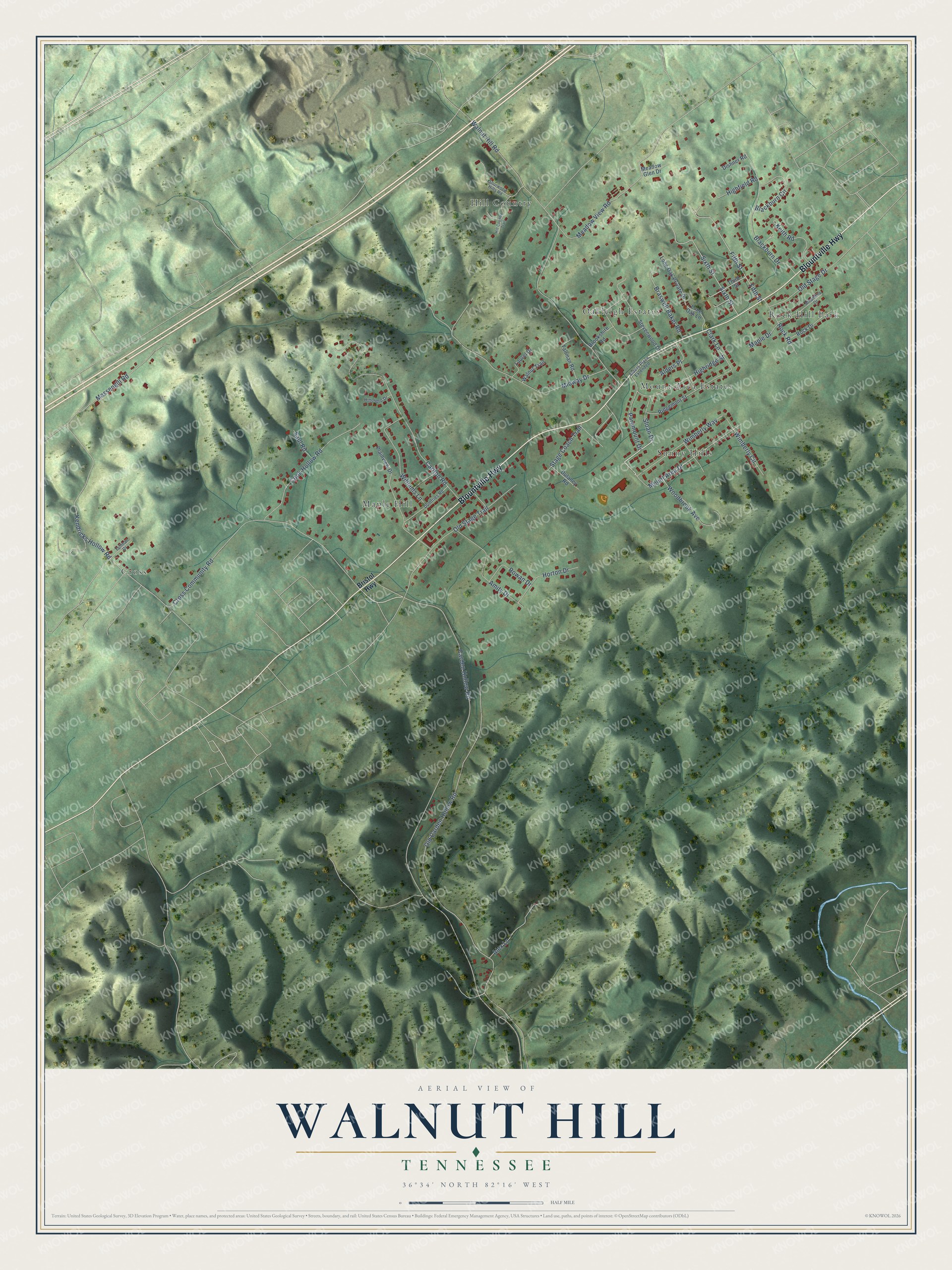
This beautifully detailed map of Walnut Hill, Tennessee was created in 2026 using aerial imagery combined with modern topographical, census, street and landmark data. It's a modern aerial view of Walnut Hill in Sullivan County, Tennessee, that combines modern data with a vintage aesthetic. The roads feature printed names, and if you look closely you can find your exact house accurately shown in its correct location.
Explore an aerial view of Walnut Hill, Tennessee
On this map you'll find Cross, Hill Country, Maple Hill, Mount Area Estates, Oakleigh Estates, Rock Hill Park, Sunny Hills, Blountville Highway, Mount Area Drive, Old Carden Hollow Road, Carden Hollow Road, Cross Community Road, and more. Each red shape is a building, so zoom in on the preview and look for yours.
Walnut Hill is a place in Sullivan County. The Census Bureau counted 2,331 people here in 2020. The map prints the town name in its title panel, with the coordinates below it.
Take a closer look at the Walnut Hill map
Names on this map
These names are printed on this map.
Places: Cross, Hill Country, Maple Hill, Mount Area Estates, Oakleigh Estates, Rock Hill Park and Sunny Hills.
Streets and roads: Blountville Highway, Mount Area Drive, Old Carden Hollow Road, Carden Hollow Road, Cross Community Road, Walnut Hill Road, Carlton Road, Midway Drive, Meadow View Road, Massengill Road, Old Stage Trail, Kendricks Hollow Road.
More street names, A to Z
Alders Place, Alders Place Extended, Alex Lane, Alhambra Drive, Amity Drive, Blackburn Circle, Blackburn Drive, Braswell Baker Road, Bristol Highway, Brookshire Road, Clark Lane, Cook Hollow Road, Dishner Road, Dulaney Road, Dumfries Road, Fifth Street, Highfield Road, Highridge Street, Hill Country Trail, Hillsboro Drive, Horton Drive, Keith Road, Laurel Drive, Lone Oak Lane, Lone Oak Private Drive, Maple Drive, Meadow Glen Drive, Old Stage Drive, Paramount Drive, Plainview Drive, Ridgemont Street, Rock Drive, Rock Road, Rowan Drive, Saul Road, Sixth Street, Sloan Drive, Sourwood Hills Road, Stage Coach Trail, Stevenwood Drive, Tallman Drive, Tallman Road, Third Street, Walnut Trail, Williams Lane, Wimberly Circle, Wimberly Way, Woodbrook Avenue.
Created by KNOWOL in 2026. The buildings are small red shapes, the roads carry their printed names, and shaded relief shows the shape of the land. The title panel reads "AERIAL VIEW OF WALNUT HILL TENNESSEE" with 36°34' NORTH 82°16' WEST.
It suits a den, a classroom or a front hall, and it makes a gift for anyone with Walnut Hill roots. Open the preview and find the block you know. See sizes and frames for the Walnut Hill map.