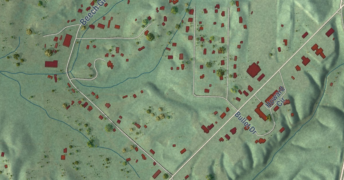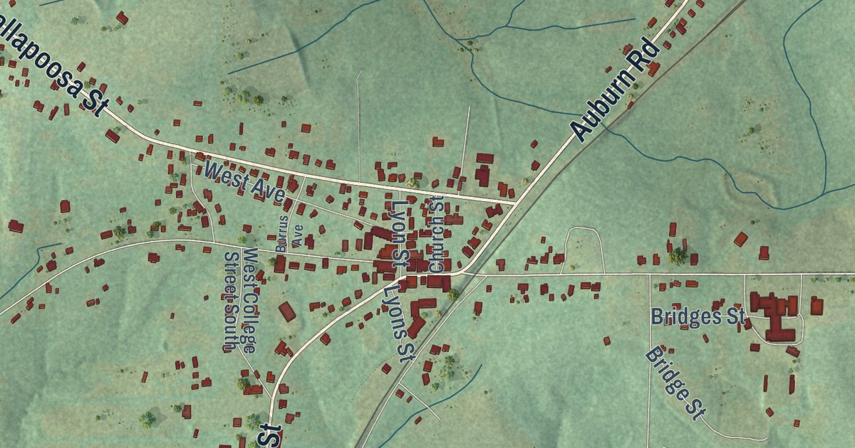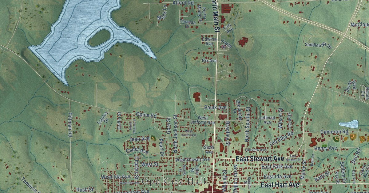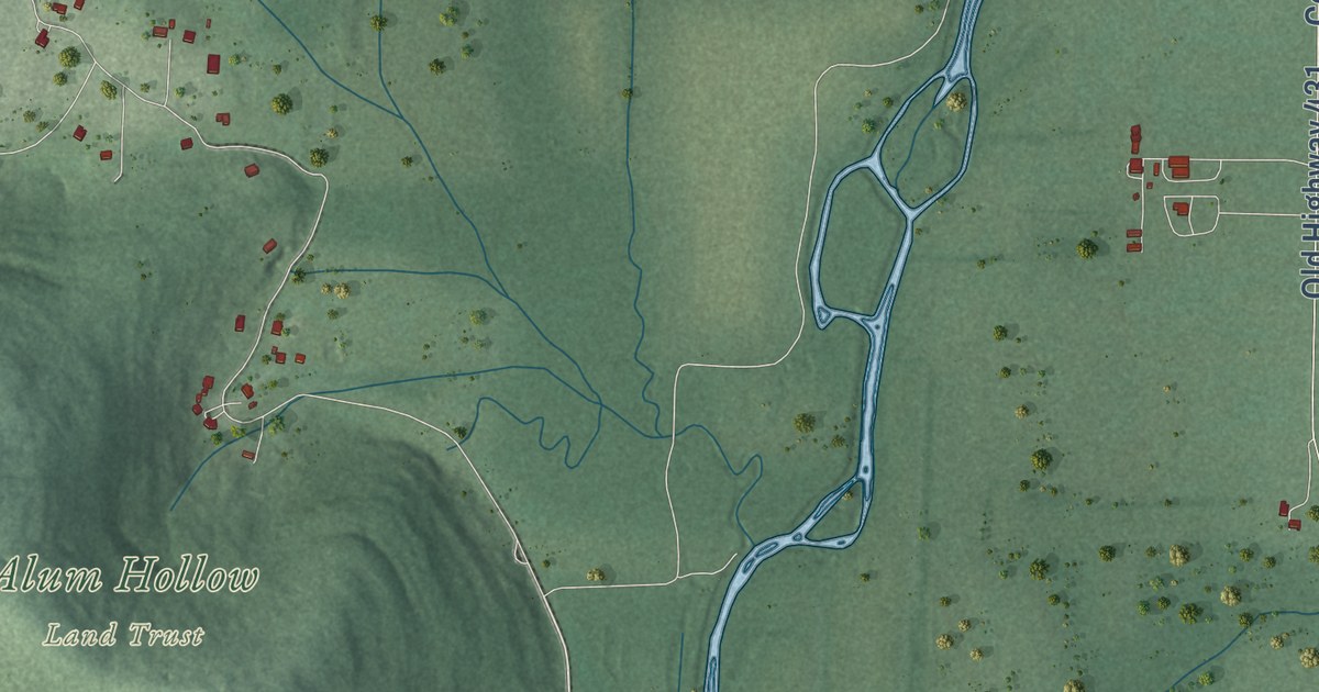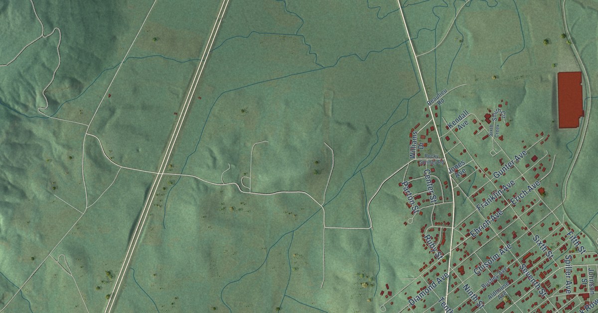
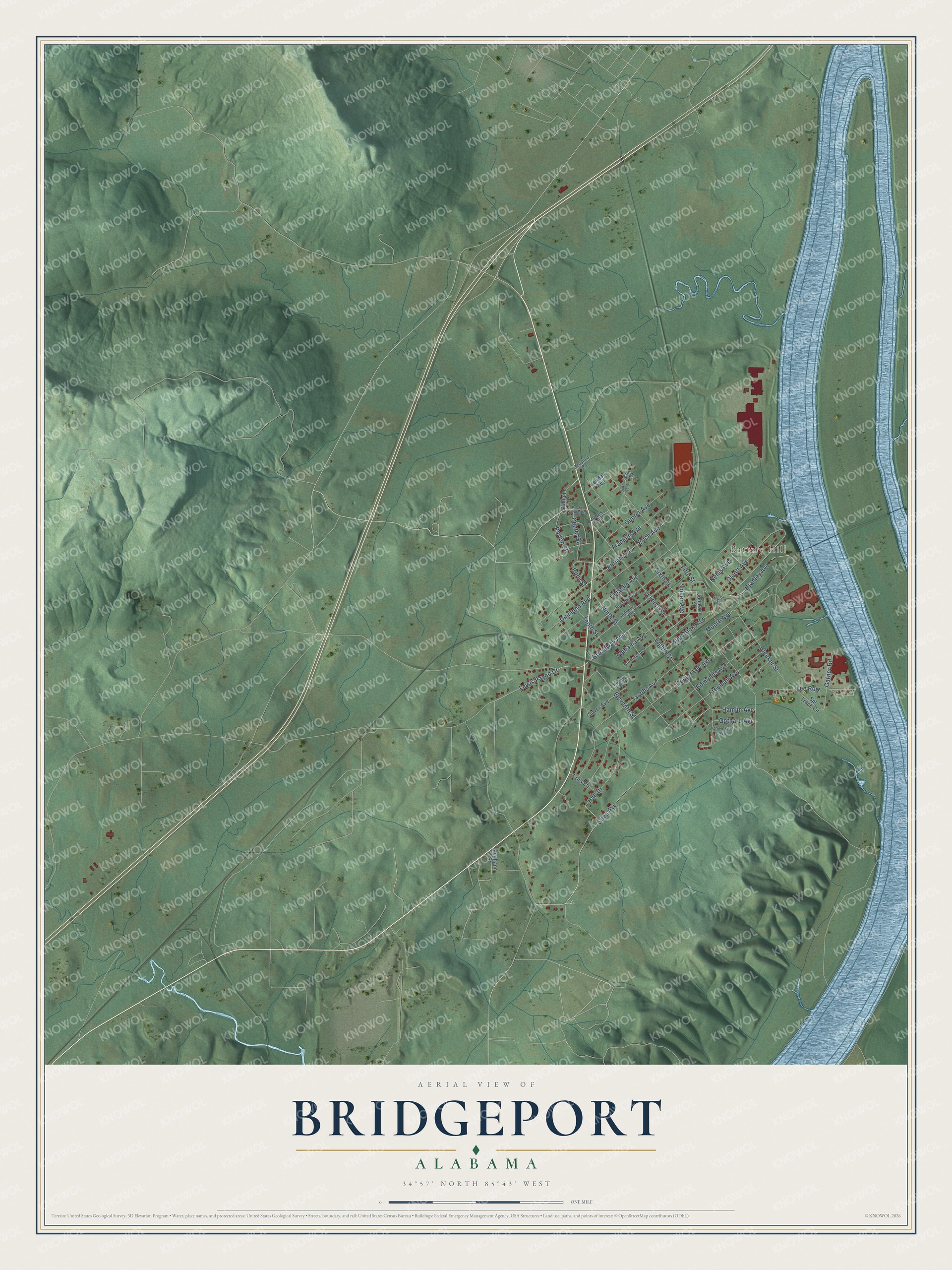
This beautifully detailed map of Bridgeport, Alabama was created in 2026 using aerial imagery combined with modern topographical, census, street and landmark data. It’s a one-of-a-kind view of Bridgeport that combines accurate data with a vintage aesthetic. The map shows every building in its true location, many of the roads carry their names, and the shaded topographic relief shows the shape of the land.
Explore an aerial view of Bridgeport, Alabama
On the map you’ll find Battery Hill and Lee Row, along with Broadway Avenue, Parton Street, Bradley Avenue, Olcott Avenue, Ehrich Avenue, Lewis Payne Drive, Ruby Street, Ninth Street, Moore Avenue, Jacobs Avenue, and more. If you look closely you can even find your house accurately drawn in its correct location. Zoom in on the preview to look for yours.
Did you know this piece of Bridgeport, Alabama history?
A riverboat landing on the Tennessee grew into a hamlet called Jonesville. The first rail line arrived in 1852. Two years later a railroad bridge across the river linked the town with Chattanooga. To mark that feat, Jonesville changed its name to Bridgeport.
Take a closer look at the Bridgeport map
Street and place names on the Bridgeport, Alabama map
These names are printed on the map of Bridgeport, Alabama.
Places: Battery Hill.
Streets and roads: Broadway Avenue, Parton Street, Bradley Avenue, Olcott Avenue, Ehrich Avenue, Lewis Payne Drive, Ruby Street, Ninth Street, Lee Row, Moore Avenue, Jacobs Avenue, Chisolm Avenue.
More street names, A to Z
Alabama Avenue, Aldhouse Avenue, Beaulieu Road, Bleeker Street, Brummel Avenue, Busbey Avenue, Center Street, Cherokee Avenue, Diamond Avenue, Doctor Lee Avenue, Edmonds Avenue, Eighth Street, Eleventh Street, Erich Avenue, Fifth Street, Franklin Avenue, Freeman Avenue, Garner Road, Giles Avenue, Glover Avenue, Gothard Avenue, Gunter Avenue, Hall Drive, Hamlin Avenue, Hughes Avenue, Johnson Street, Jones Avenue, Kendall Avenue, Kilpatrick Row, Lois Lane, Meghann Street, Nellis Avenue, Rocky Springs Road, Seventh Street, Sixth Creek, Sixth Street, Smith Circle, Soulard Square, Spiller Avenue, Spr Track Circle, Tenth Street, Williams Drive.
See the Bridgeport, Alabama map on a wall
The Bridgeport map as an 18 x 24 inch print in a black frame.

This beautifully detailed map of Bridgeport makes an attractive addition to your office, library, or den, and it can even be used to teach children the geography and history of the area. It also makes a great gift for anyone with Bridgeport roots. When you’re done exploring, click here to get your copy of the Bridgeport map.