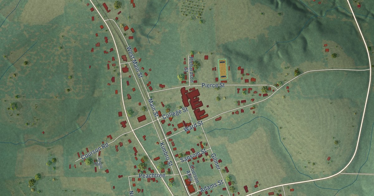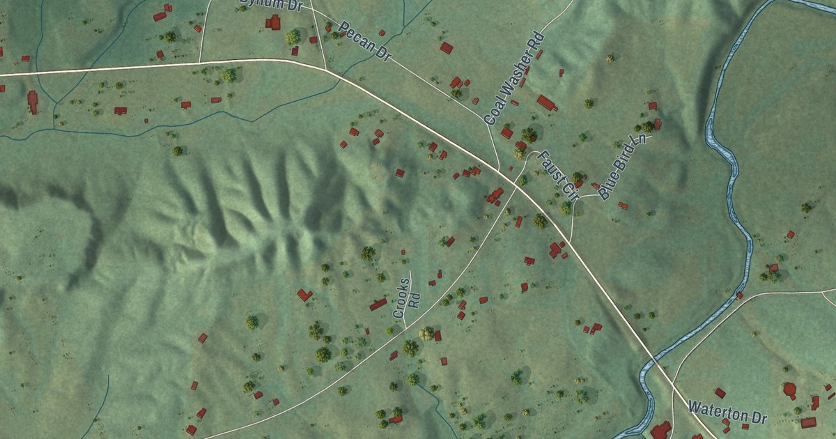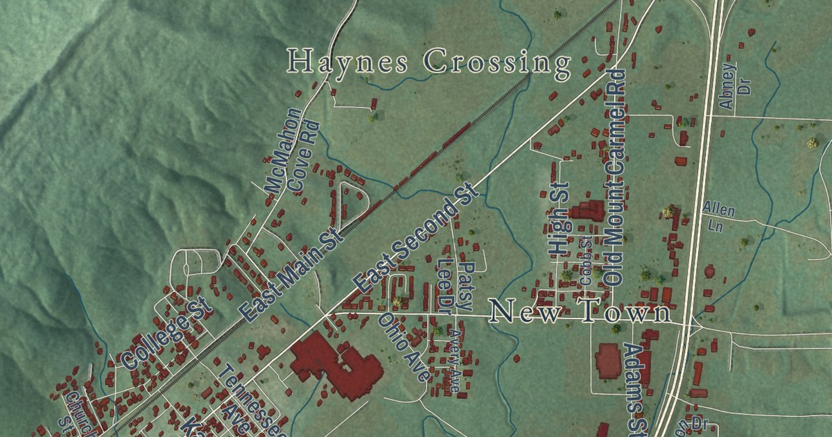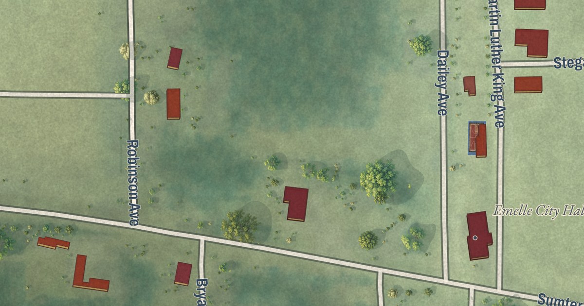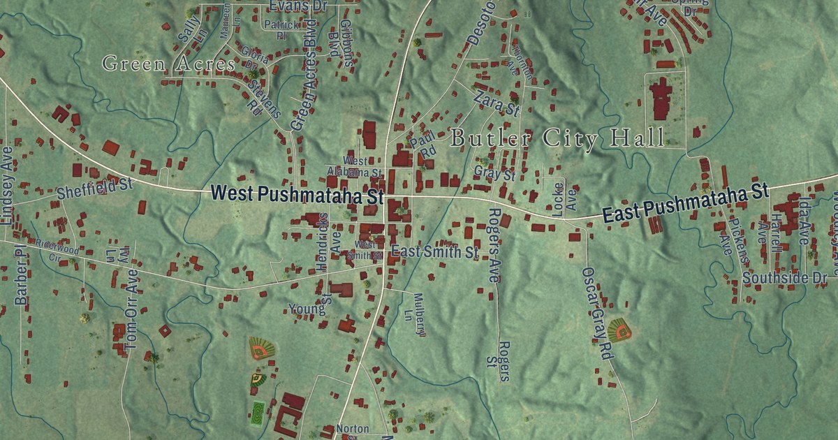
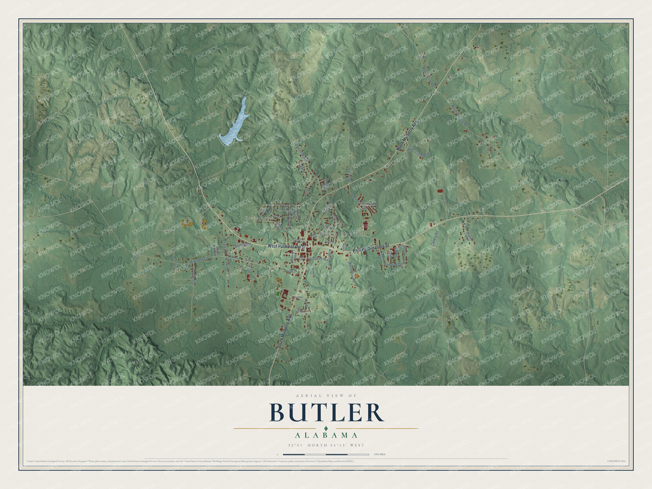
This beautifully detailed map of Butler, Alabama was created in 2026 using aerial imagery combined with modern topographical, census, street and landmark data. It’s a one-of-a-kind view of Butler that combines accurate data with a vintage aesthetic. The map shows every building in its true location, many of the roads carry their names, and the shaded topographic relief shows the shape of the land.
Explore an aerial view of Butler, Alabama
On the map you’ll find Butler City Hall and Green Acres, along with West Pushmataha Street, East Pushmataha Street, South Mulberry Avenue, North Mulberry Avenue, Oscar Gray Road, Mount Olive Road, Riderwood Drive, Mount Sterling Road, Vanity Fair Avenue, Desotoville Avenue, and more. If you look closely you can even find your house accurately drawn in its correct location. Zoom in on the preview to look for yours.
Did you know this piece of Butler, Alabama history?
Butler was created as the seat of the new Choctaw County in 1847. Settlers laid out the town in 1848. It honors Colonel Pierce Butler, a soldier who died in the Mexican American War.
Take a closer look at the Butler map
Street and place names on the Butler, Alabama map
These names are printed on the map of Butler, Alabama.
Places: Butler City Hall and Green Acres.
Streets and roads: West Pushmataha Street, East Pushmataha Street, South Mulberry Avenue, North Mulberry Avenue, Oscar Gray Road, Mount Olive Road, Riderwood Drive, Mount Sterling Road, Vanity Fair Avenue, Desotoville Avenue, Green Acres Boulevard, Desoto Road.
More street names, A to Z
Ann Street, Barber Place, Beatty Drive, Cherokee Avenue, Cliff Street, Coca Cola Avenue, Codi Lane, Colonial Drive, Country Club Drive, Danbsy Road, Davis Court, East Smith Street, Evans Drive, Gibbons Boulevard, Gloria Drive, Gray Street, Harrell Avenue, Hendricks Avenue, Ida Avenue, Island Drive, Ivy Lane, Lindsey Avenue, Locke Avenue, Lolley Road, Maureen Lane, Minor Road, Moody Lane, Mulberry Lane, Norton Street, Patrick Place, Paul Road, Pickens Avenue, Riderwood Circle, Rogers Avenue, Rogers Street, Sally Lane, Sandy Cut Road, Sheffield Street, Southside Drive, Spring Drive, Stevens Road, Sunday Drive, Thornton Avenue, Tom Orr Avenue, West Alabama Street, West Smith Street, Wisteria Circle South, Woodley Avenue, Young Street, Zara Street.
See the Butler, Alabama map on a wall
The Butler map as an 18 x 24 inch print in a black frame.

This beautifully detailed map of Butler makes an attractive addition to your office, library, or den, and it can even be used to teach children the geography and history of the area. It also makes a great gift for someone who left Butler and still calls it home. When you’re done exploring, click here to get your copy of the Butler map.