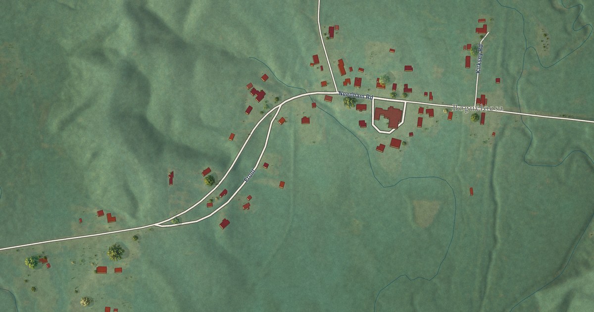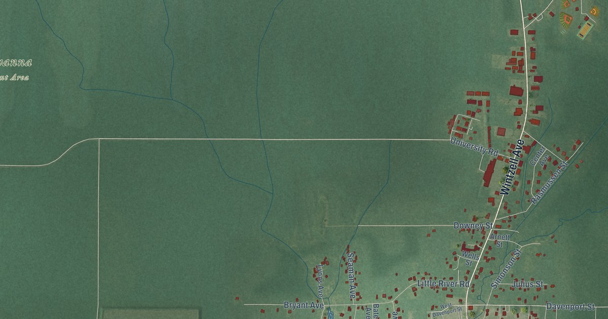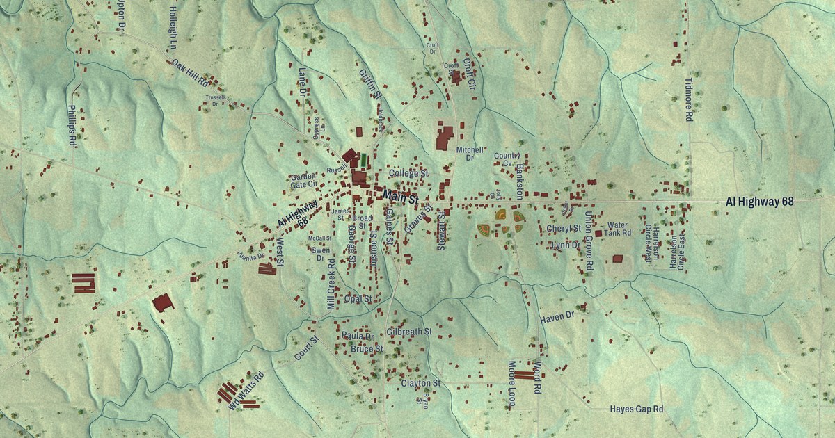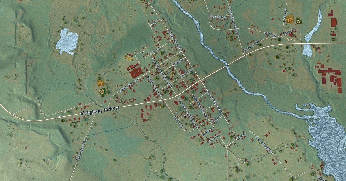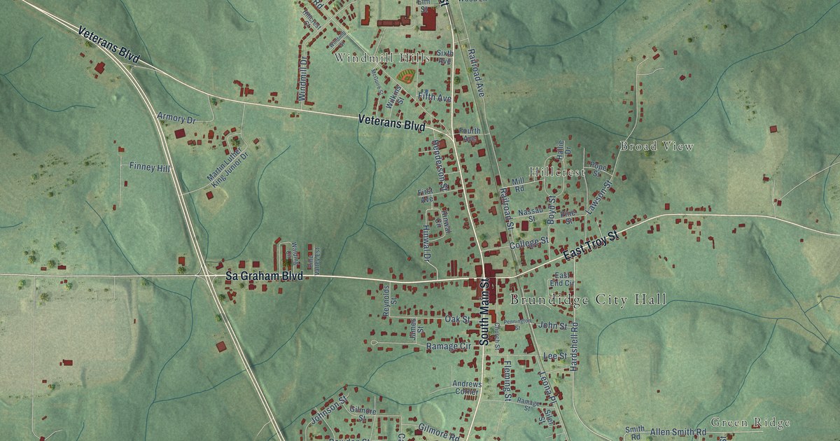
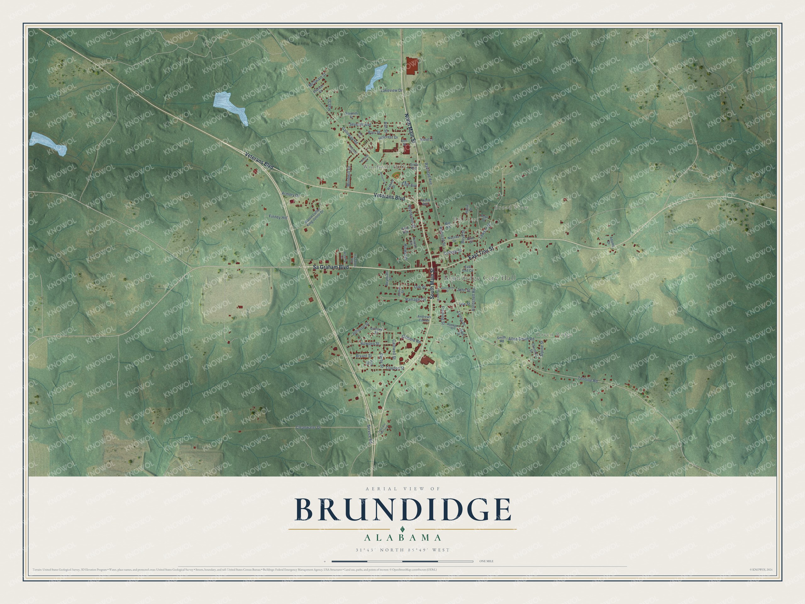
This beautifully detailed map of Brundidge, Alabama was created in 2026 using aerial imagery combined with modern topographical, census, street and landmark data. It's a modern aerial view of Brundidge in Pike County, Alabama, that combines modern data with a vintage aesthetic. The roads feature printed names, and if you look closely you can find your exact house accurately shown in its correct location.
Explore an aerial view of Brundidge, Alabama
On this map you'll find Brundidge City Hall, Windmill Hills, Broad View, Hillcrest, Green Ridge, Sa Graham Boulevard, North Main Street, South Main Street, Veterans Boulevard, East Troy Street, Bowden Street, Johnson Street, and more. Each red shape is a building, so zoom in on the preview and look for yours.
Every town has a first chapter, and Brundidge is no exception. The record at encyclopediaofalabama.org puts it this way: "Representative John Lewis was born in Pike County and attended Brundidge schools, and National Football League players Fred Baxter and Cornelius Griffin both graduated from Pike County High School in Brundidge."
Brundidge is a city in Pike County. The Census Bureau counted 2,073 people here in 2020.
Take a closer look at the Brundidge map
Names on this map
These names are printed on this map.
Places: Brundidge City Hall, Windmill Hills, Broad View, Hillcrest and Green Ridge.
Streets and roads: Sa Graham Boulevard, North Main Street, South Main Street, Veterans Boulevard, East Troy Street, Bowden Street, Johnson Street, Hardshell Road, Darby Street, Tennille Road, Galloway Road, Cleanwater Drive.
More street names, A to Z
Adams Drive, Allen Smith Road, Alpine Street, Andrews Corner, Ann Drive, Armory Drive, Ash Street, Barr Circle, Barr Street, Boyd Street, Bryant Street, Caldwell Street, Chestnut Street, Church Street, Clayton Street, College Street, East End Circle, Elm Street, Fifth Avenue, Finney Hill, First Avenue, Fleming Street, Fourth Avenue, Gilmore Road, Gilmore Street, Hallie Drive, Hall Street, Henderson Street, Hillcrest Court, Hillcrest Drive, Hinwal Circle, Hinwal Drive, James Street, John Street, Lakeview Drive, Lawson Street, Lee Street, Leona Place, Louis Ann Mill Loop, Martin Luther King Junior Drive, McGuire Street, McSwain Street, Mill Road, Nassau Street, Oak Street, Pennington Street, Pierson Street, Pine Street, Pine Valley Est, Pope Street, Railroad Avenue, Railroad Street, Ramage Circle, Ramage Street, Reynolds Street, Service Road, Seventh Avenue, Seventh Street, Siler Street, Sixth Avenue, Smith Road, Walding Circle, Wilkins Street, Windmill Drive, Windmill Street, Wood Lane.
Created by KNOWOL in 2026. The buildings are small red shapes, the roads carry their printed names, and shaded relief shows the shape of the land. The title panel reads "AERIAL VIEW OF BRUNDIDGE ALABAMA" with 31°43' NORTH 85°49' WEST.
Hang it in the hallway, the office or the cabin, or give it to someone who left Brundidge and still calls it home. Open the preview and look for a street you know. See sizes and frames for the Brundidge map.