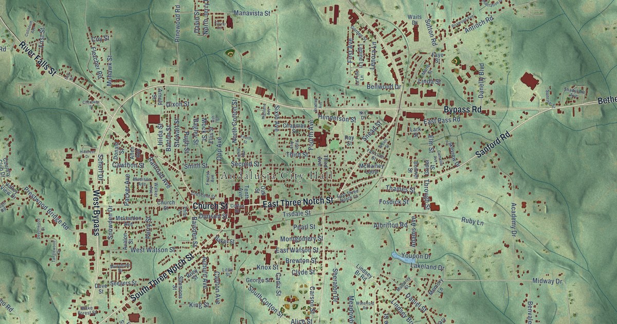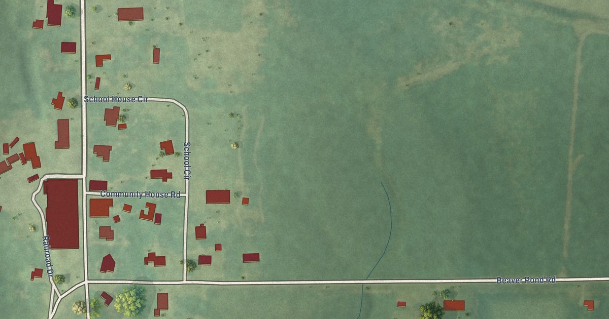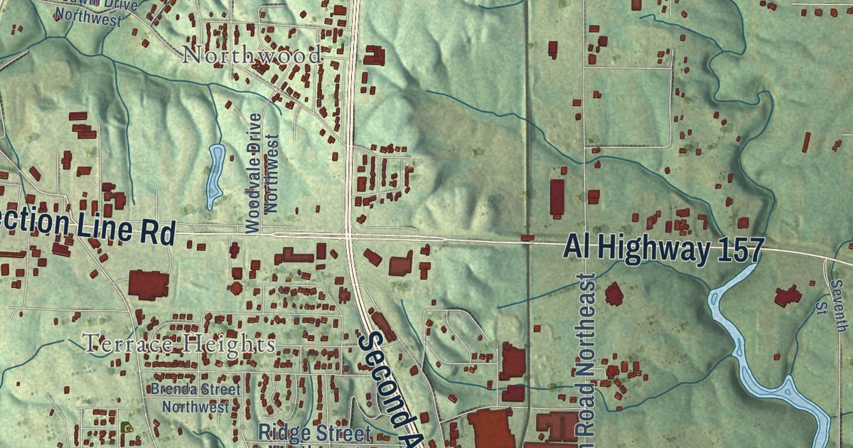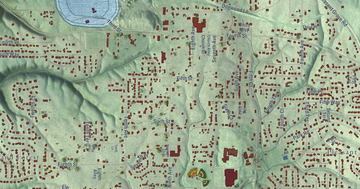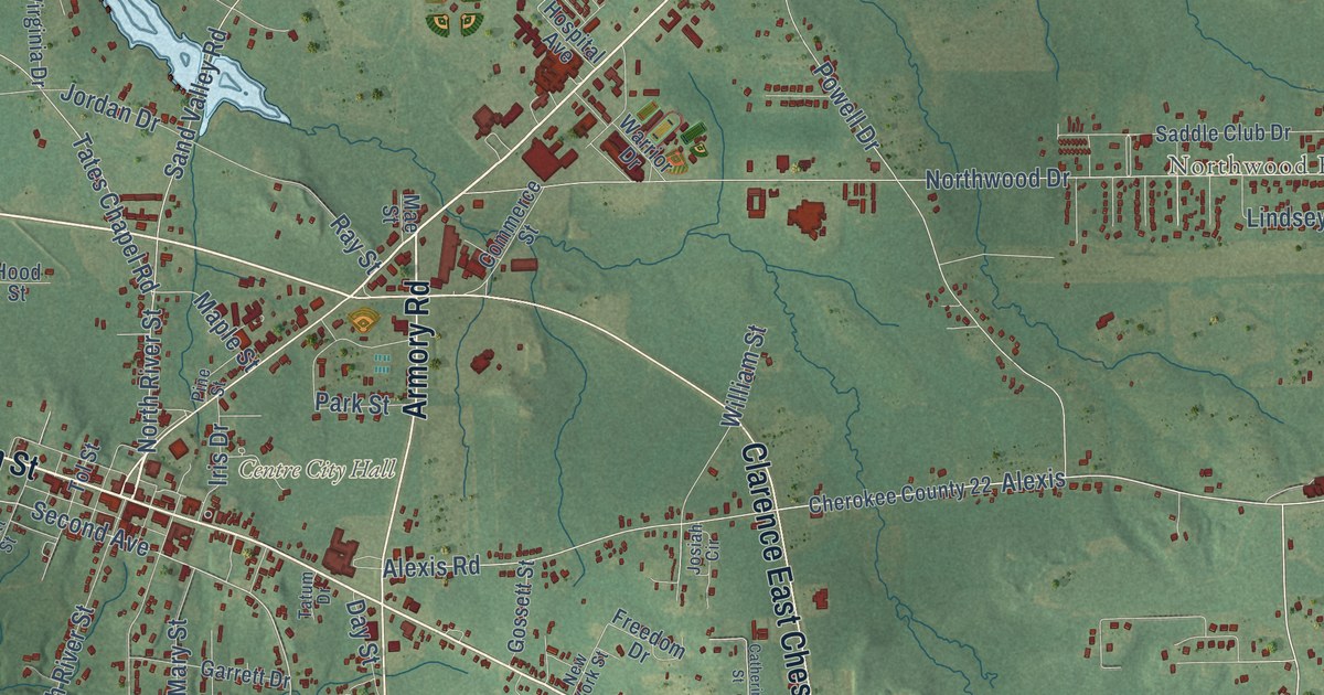
This beautifully detailed map of Centre, Alabama was created in 2026 using aerial imagery combined with modern topographical, census, street and landmark data. It’s a one-of-a-kind view of Centre that combines accurate data with a vintage aesthetic. The map shows every building in its true location, many of the roads carry their names, and the shaded topographic relief shows the shape of the land.
Explore an aerial view of Centre, Alabama
On the map you’ll find Weiss Dam, Brooks Estates, and Northwood Estates, along with Cedar Bluff Road, West Main Street, Main Street, Clarence East Chestnut Junior Bypass, East Main Street, Piedmont Highway, Armory Road, Alexis Road, Tates Chapel Road, and more. If you look closely you can even find your house accurately drawn in its correct location. Zoom in on the preview to look for yours.
Did you know this piece of Centre, Alabama history?
From the Encyclopedia of Alabama: "Several sources cite 1884 as the year when Centre became the county seat, but the most detailed sources available state that it occurred in 1844. A brick courthouse was constructed in 1849."
Take a closer look at the Centre map
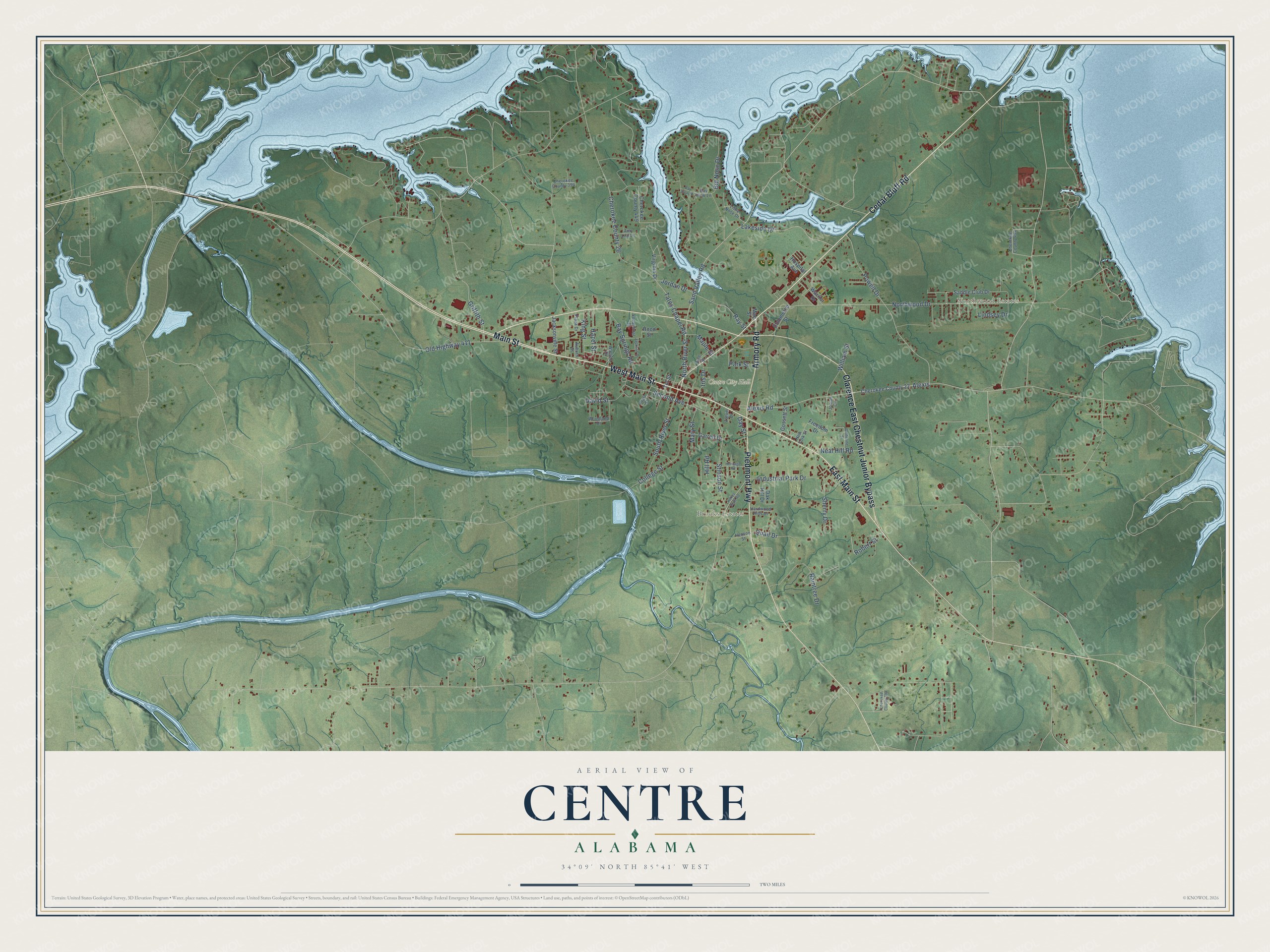
Street and place names on the Centre, Alabama map
These names are printed on the map of Centre, Alabama.
Places: Centre City Hall, Northwood Estates and Brooks Estates.
Streets and roads: Cedar Bluff Road, West Main Street, Main Street, Clarence East Chestnut Junior Bypass, East Main Street, Piedmont Highway, Armory Road, Alexis Road, Second Avenue, Stinson Street, Bay Springs Road, Alexis.
More street names, A to Z
Amy Lou Lane, Auburn Street, Bay View Lane, Bay View Street, Big Nose Drive, Catherine Street, Cherokee County 22, Cherokee County 26, Cherokee County 382, Cherokee County 394, Cherokee County 449, Cherokee County 494, College Street, Commerce Street, David Street, Day Street, Freedom Drive, Garrett Drive, Gossett Street, Griffith Street, Hardwood Hills Drive, Hazel Street, Henson Street, Heritage Road, Hill Road, Hokes Bluff Road, Hood Street, Hospital Avenue, Industrial Park Drive, Iris Drive, Jackson Drive, Jacksonville Street, Jordan Drive, Josiah Circle, King Street, Lakeside Drive, Lindsey Drive, Little Nose Drive, Mae Street, Maple Street, Mary Street, Neal Hill Road, New York Street, North River Street, Northwood Drive, Oak Hill Drive, Old Highway 411, Park Street, Pine Street, Plaza Drive, Powell Drive, Pratt Street, Quail Drive, Raintree Drive, Ray Street, Robert Street, Saddle Club Drive, Sand Valley Road, Sherry Drive, South River Street, Tates Chapel Road, Tatum Drive, Tol Street, Virginia Drive, Vocational Drive, Warrior Drive, Watson Drive, William Street, Woodland Drive.
See the Centre, Alabama map on a wall
The Centre map as an 18 x 24 inch print in a black frame.

This beautifully detailed map of Centre makes an attractive addition to your office, library, or den, and it can even be used to teach children the geography and history of the area. It also makes a great gift for anyone with Centre roots. When you’re done exploring, click here to get your copy of the Centre map.