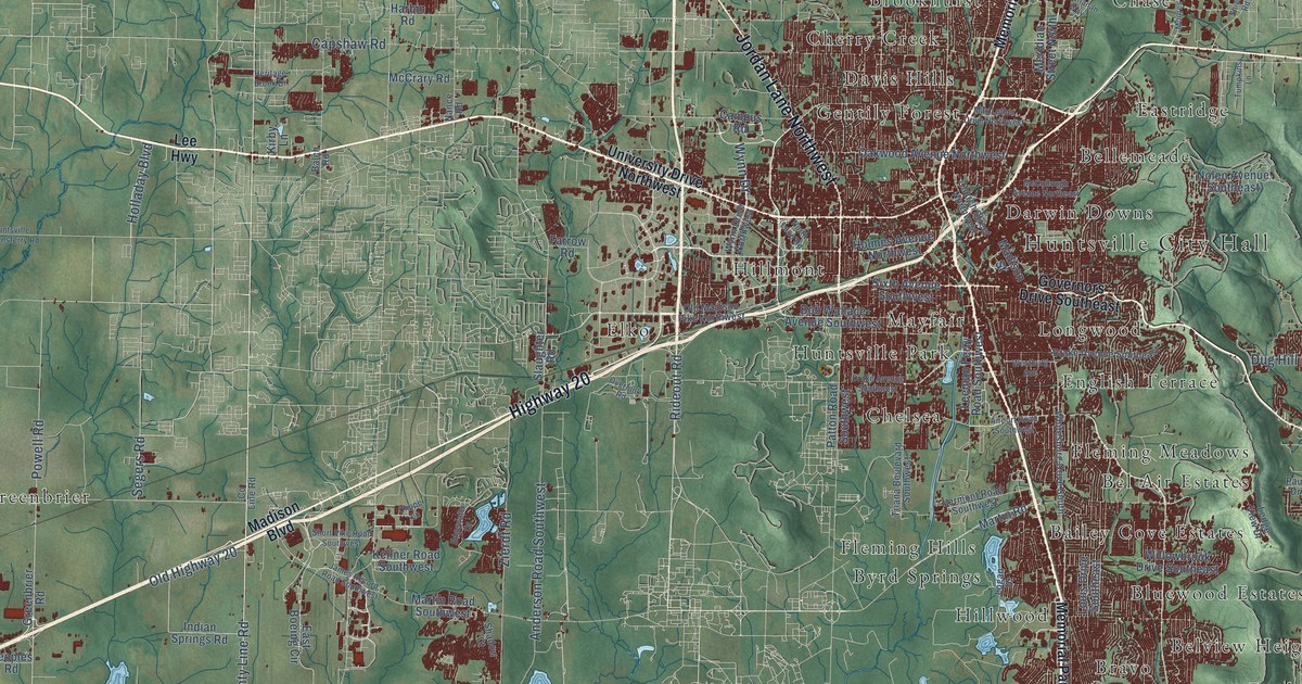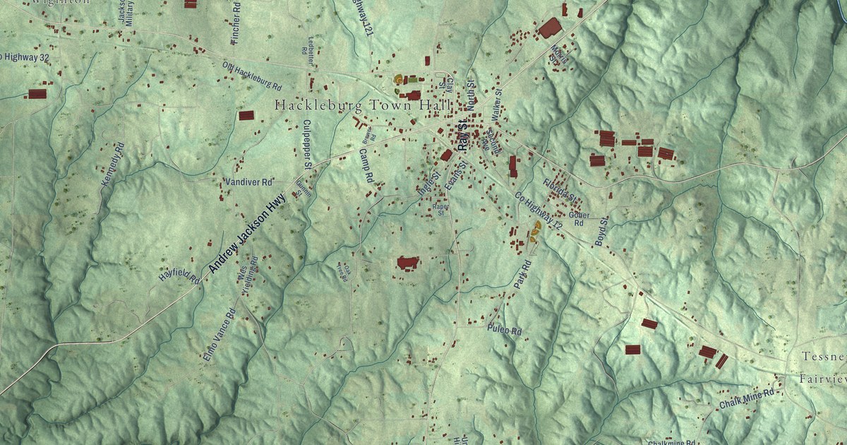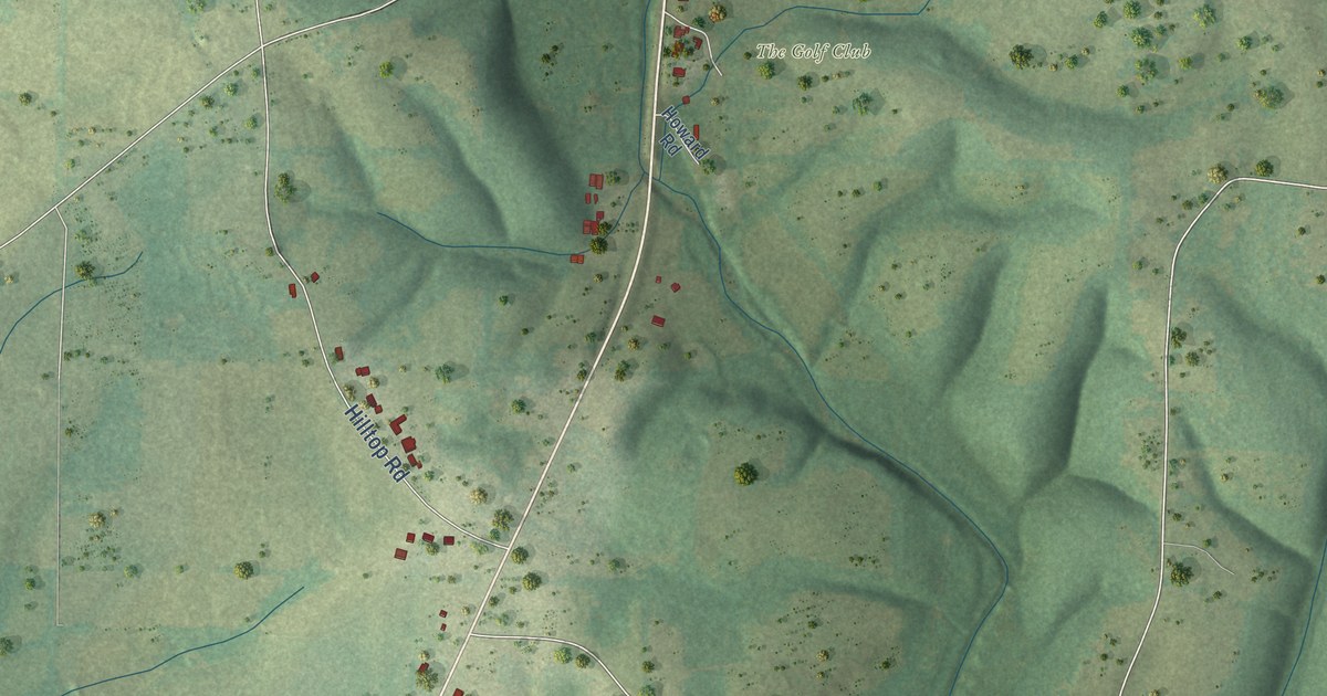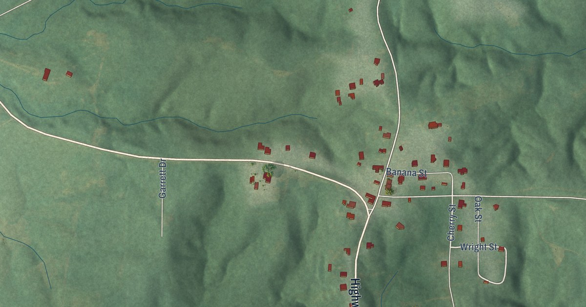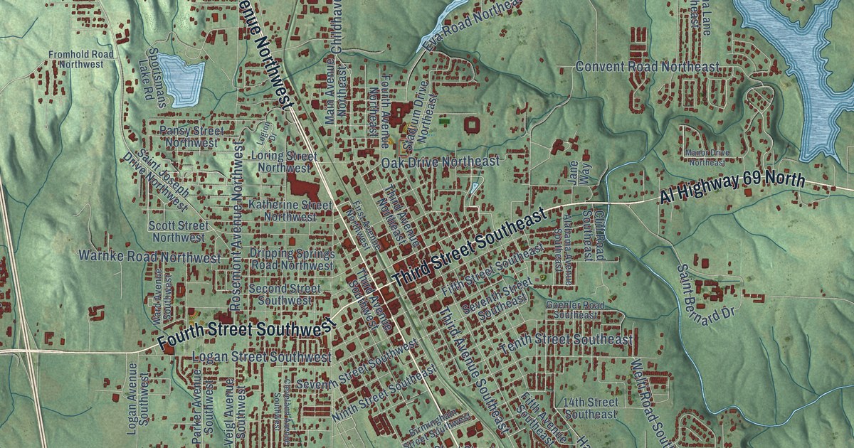
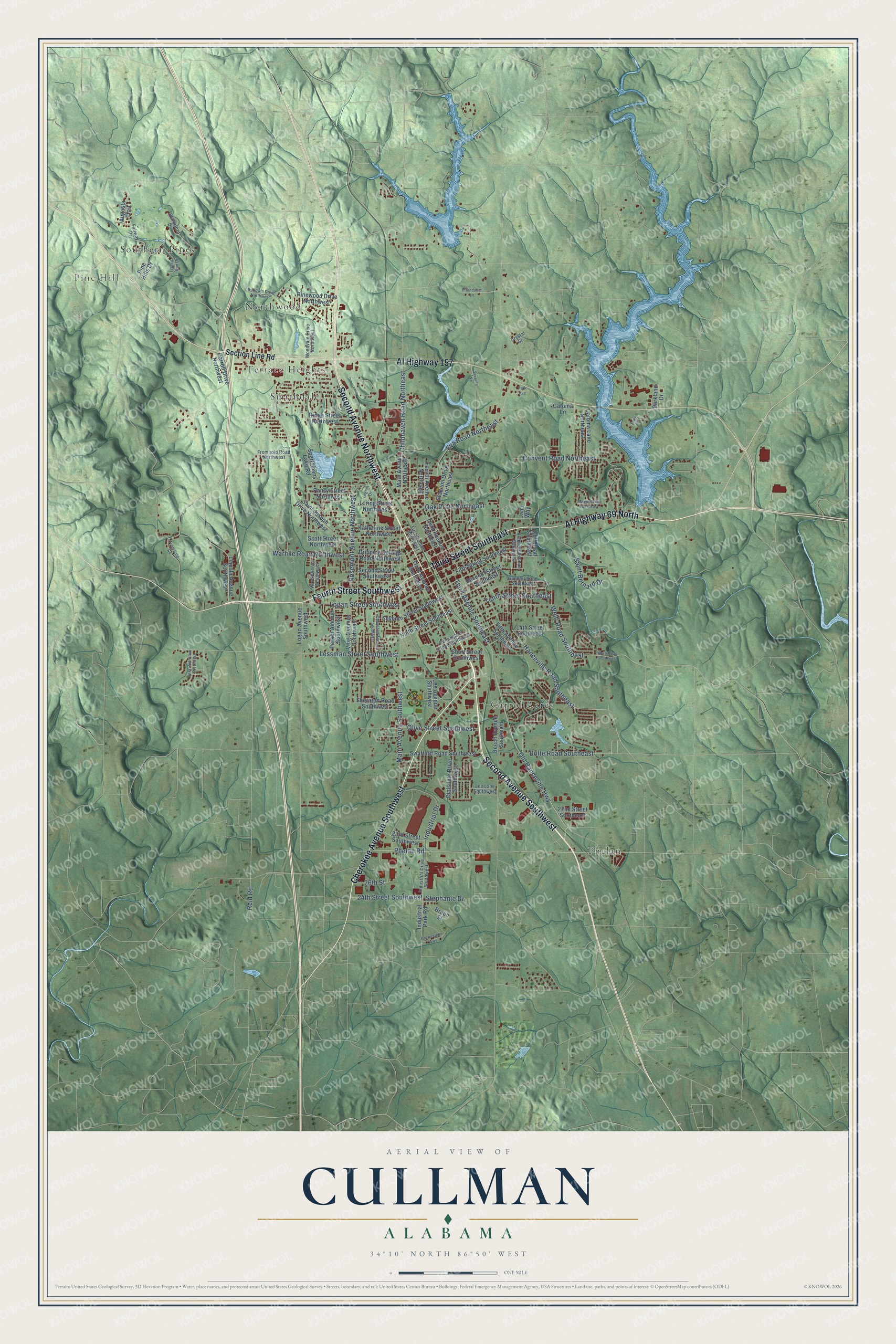
This beautifully detailed map of Cullman, Alabama was created in 2026 using aerial imagery combined with modern topographical, census, street and landmark data. It's a modern aerial view of Cullman in Cullman County, Alabama, that combines modern data with a vintage aesthetic. The roads feature printed names, and if you look closely you can find your exact house accurately shown in its correct location.
Explore an aerial view of Cullman, Alabama
On this map you'll find Pine Hill, Carrol Acres, Northwood, Phelan, Smithdale, Southern Pines, Terrace Heights, Second Avenue Southwest, Cherokee Avenue Southwest, Second Avenue Northwest, Third Street Southeast, Al Highway 157, and more. Each red shape is a building, so zoom in on the preview and look for yours.
Cullman has a story worth telling. The record at encyclopediaofalabama.org puts it this way: "Arriving by train from Cincinnati, the first five families came to the area now known as Cullman by April 1873, and Johann Cullmann continued to travel northward for supplies and to bring more and more settlers back with him."
Cullman is a city in Cullman County. The Census Bureau counted 18,213 people here in 2020.
Take a closer look at the Cullman map
Names on this map
These names are printed on this map.
Places: Pine Hill, Carrol Acres, Northwood, Phelan, Smithdale, Southern Pines and Terrace Heights.
Streets and roads: Second Avenue Southwest, Cherokee Avenue Southwest, Second Avenue Northwest, Third Street Southeast, Al Highway 157, Al Highway 69 North, Fourth Street Southwest, Third Avenue Southeast, Childhaven Road Northeast, Old Hanceville Highway, Phelan Road, Main Avenue Southwest.
More street names, A to Z
14th Street Southeast, 22nd Street Southeast, 23rd Street Southwest, 24th Street Southwest, 26th Street, Alabama Avenue Southeast, Augusta Trail, Beech Avenue Southeast, Birmingham Street Southwest, Bolte Road Southeast, Braun Street, Brownstone Way, Carroll Drive Northwest, Catoma Lane, Catoma Lane Northeast, Cleveland Avenue Southwest, Cliff Road Southeast, Convent Road Northeast, Crystal Street, Deer Run Drive Southwest, Dialsdale Drive Southwest, Dripping Springs Road Northwest, Eva Road Northeast, Fairway Drive, Fifth Avenue Southeast, Fifth Street Southeast, First Avenue Northwest, Fourth Avenue Northeast, Friendship Lane, Fromhold Road Northwest, Fromwald Road, Goehler Road Southeast, Goodwin Drive Northwest, Hanceville Road Southeast, Industrial Drive, Industrial Drive Southwest, Industrial Park Road, Jane Way, Katherine Street Northwest, Lee Avenue Southwest, Lee Lane Southwest, Legion Drive, Lessman Street Southwest, Lincoln Avenue Southwest, Loch Drive, Logan Avenue Southwest, Logan Street Southwest, Loring Street Northwest, Main Avenue Northeast, Manor Drive Northeast, Ninth Street Southeast, Oak Drive Northeast, Olive Street Southwest, Pansy Street Northwest, Park Avenue, Parker Avenue Southwest, Parkland Drive, Pine Hills Drive, Pinewood Drive Northwest, Quail Run Drive, Reid Road, Ridge Street Northwest, Rosemont Avenue Northwest, Saint Bernard Drive, Saint Joseph Drive Northwest, Scott Street Northwest, Second Street Southwest, Section Line Road, Seventh Street, Seventh Street Southeast, Seventh Street Southwest, Sheraton Road Southwest, Short Street Southwest, Sportsmans Lake Road, Stadium Drive Northeast, Stephanie Drive, Swafford Road Southwest, Tenth Street Southeast, Third Avenue Northeast, Third Avenue Southwest, Veigl Avenue Southwest, Ward Avenue Southwest, Warnke Road Northwest, Waterford Drive, Welti Road Southeast, Welti Road Southwest, Woodvale Drive Northwest.
Created by KNOWOL in 2026. The buildings are small red shapes, the roads carry their printed names, and shaded relief shows the shape of the land. The title panel reads "AERIAL VIEW OF CULLMAN ALABAMA" with 34°10' NORTH 86°50' WEST.
It looks right in a kitchen, an office or a den, and it's a gift for anyone who grew up in Cullman or moved away. Open the preview and find your street. See sizes and frames for the Cullman map.