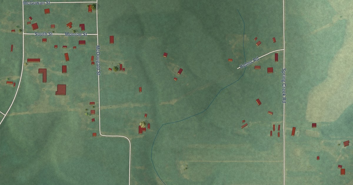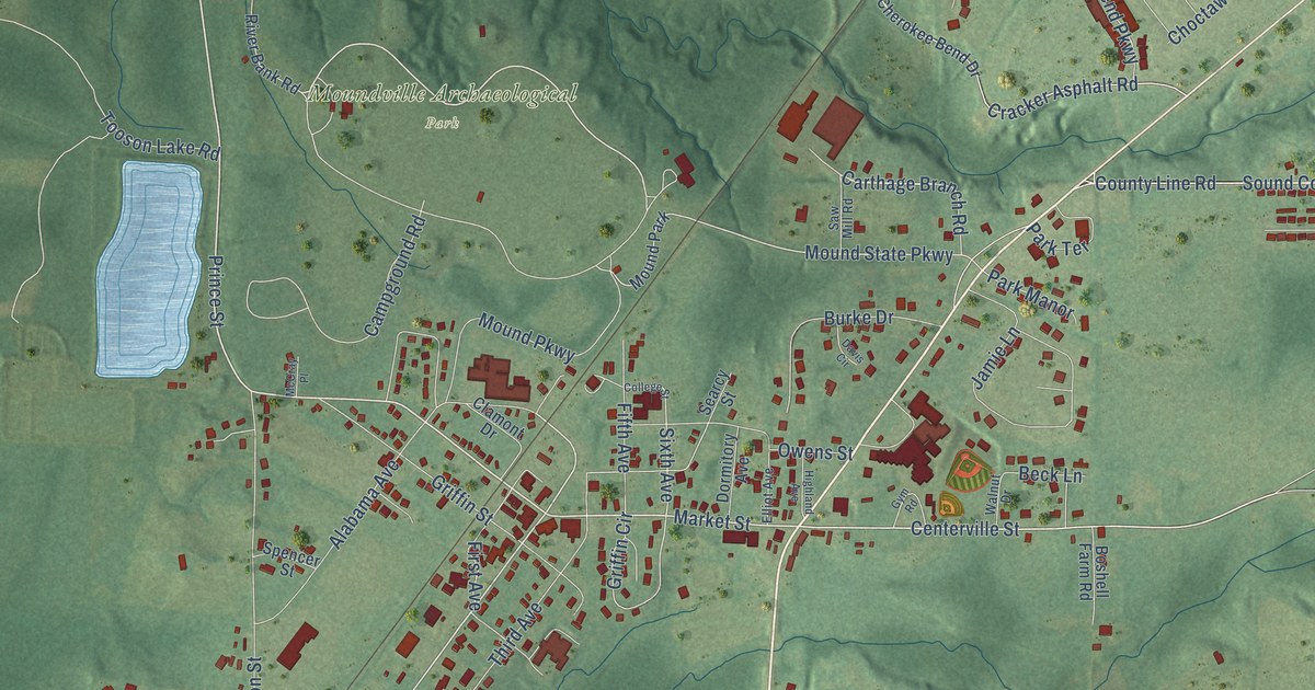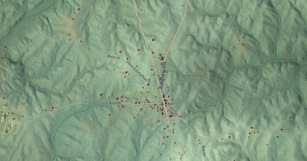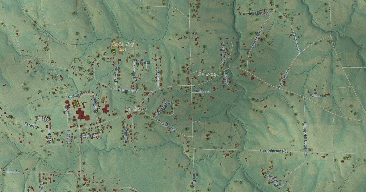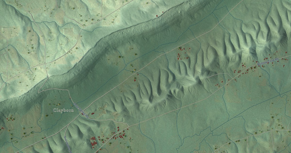
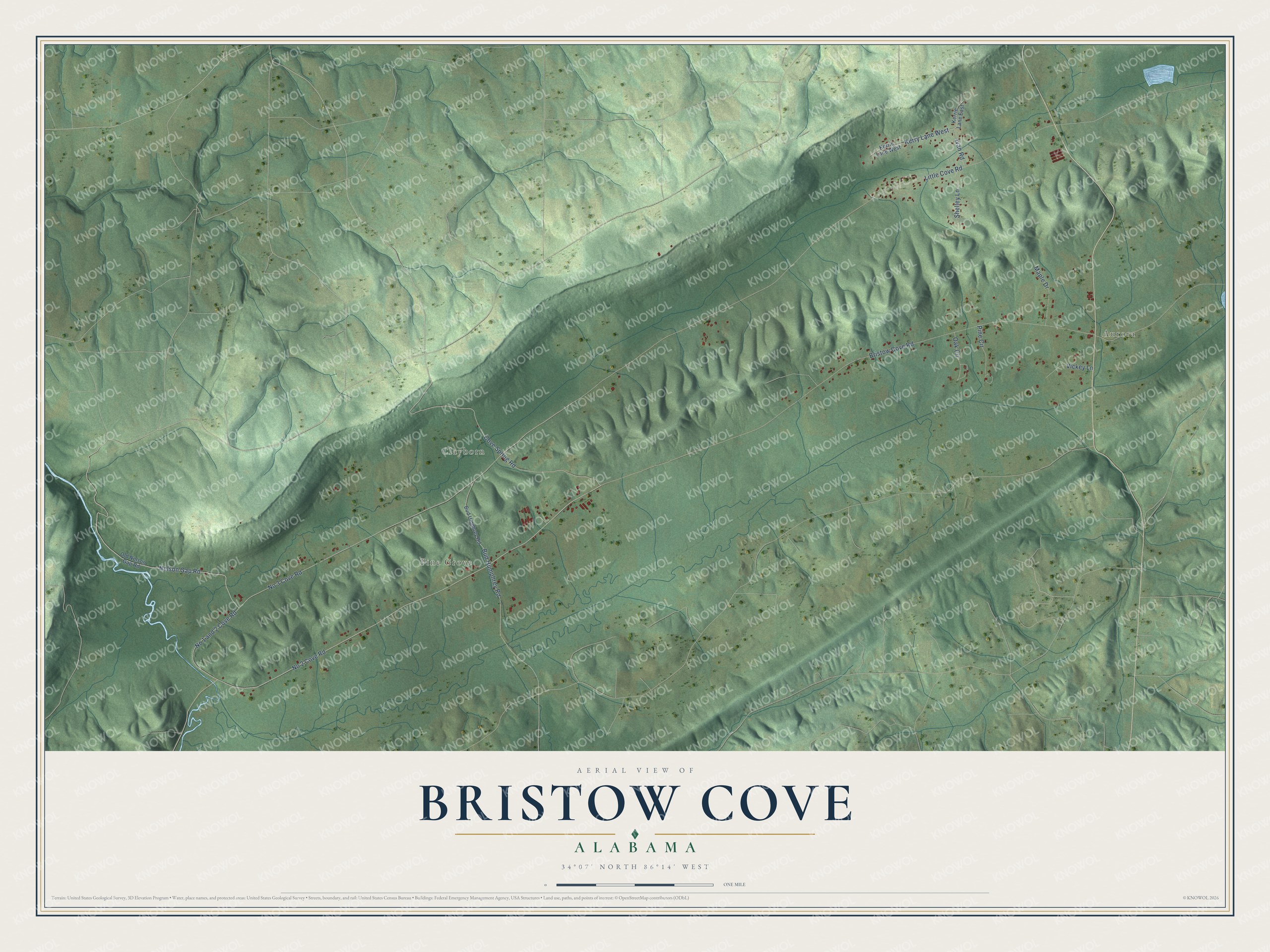
This beautifully detailed map of Bristow Cove, Alabama was created in 2026 using aerial imagery combined with modern topographical, census, street and landmark data. It's a modern aerial view of Bristow Cove in Etowah County, Alabama, that combines modern data with a vintage aesthetic. The roads feature printed names, and if you look closely you can find your exact house accurately shown in its correct location.
Explore an aerial view of Bristow Cove, Alabama
On this map you'll find Aurora, Pine Grove, Clayborn, Nelson Gap Road, No 1 and 2 Cove Road, No 2 Cove Road, Cove Spring Road, Little Cove Road, Bristow Cove Road, No 3 Cove Road, Bud Humphrey Road, Kerry Lane West, and more. Each red shape is a building, so zoom in on the preview and look for yours.
Here is a piece of Bristow Cove history. Aurora, in the valley that settlers called the Cove or Bristow's Cove, was the earliest village on the main migration route from Georgia up onto south Sand Mountain. It had a post office from 1837, and in 1883 its postmaster did more business than any office nearby except Gadsden, Attalla and Guntersville. Boaz founder William Sparks, known as Billy, had a farm at Aurora in 1860, and Aurora farms gave a start to Boaz families such as the McCleskeys, Mortons, Sneads and Buffingtons. That's from the Boaz Heritage centennial history.
Bristow Cove is a community in Etowah County. The Census Bureau counted 624 people here in 2020.
Take a closer look at the Bristow Cove map
Names on this map
These names are printed on this map.
Places: Aurora, Pine Grove and Clayborn.
Streets and roads: Nelson Gap Road, No 1 and 2 Cove Road, No 2 Cove Road, Cove Spring Road, Little Cove Road, Bristow Cove Road, No 3 Cove Road, Bud Humphrey Road, Kerry Lane West, Pine Circle, Oak Circle, Maple Drive.
More street names, A to Z
Bud Umphrey Road, Ivan Road, Kerrie Lane East, Kerrie Lane West, Old Nelson Gap Road, Shelley Lane, Vickey Lane.
See it on a wall
The Bristow Cove map as a framed print. Swipe for more.


Created by KNOWOL in 2026. The buildings are small red shapes, the roads carry their printed names, and shaded relief shows the shape of the land. The title panel reads "AERIAL VIEW OF BRISTOW COVE, ALABAMA" with 34°07' NORTH 86°14' WEST.
It suits a den, a classroom or a front hall, and it makes a gift for anyone with Bristow Cove roots. Open the preview and find the block you know. See sizes and frames for the Bristow Cove map.