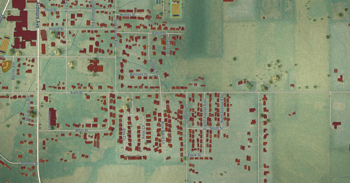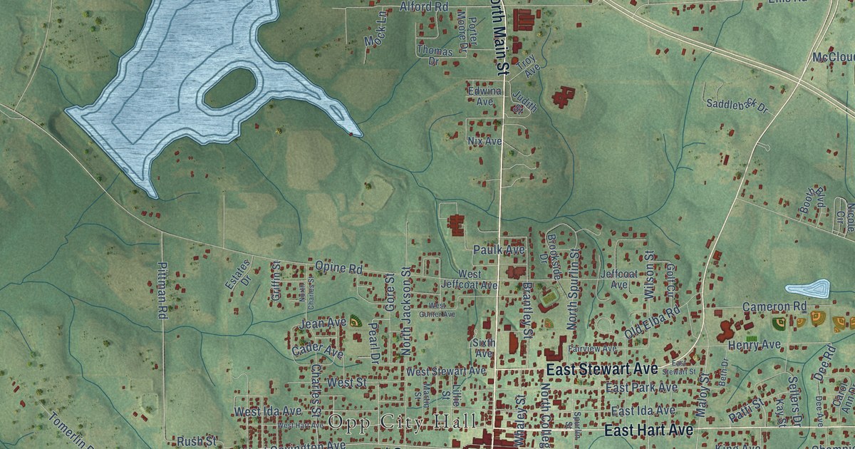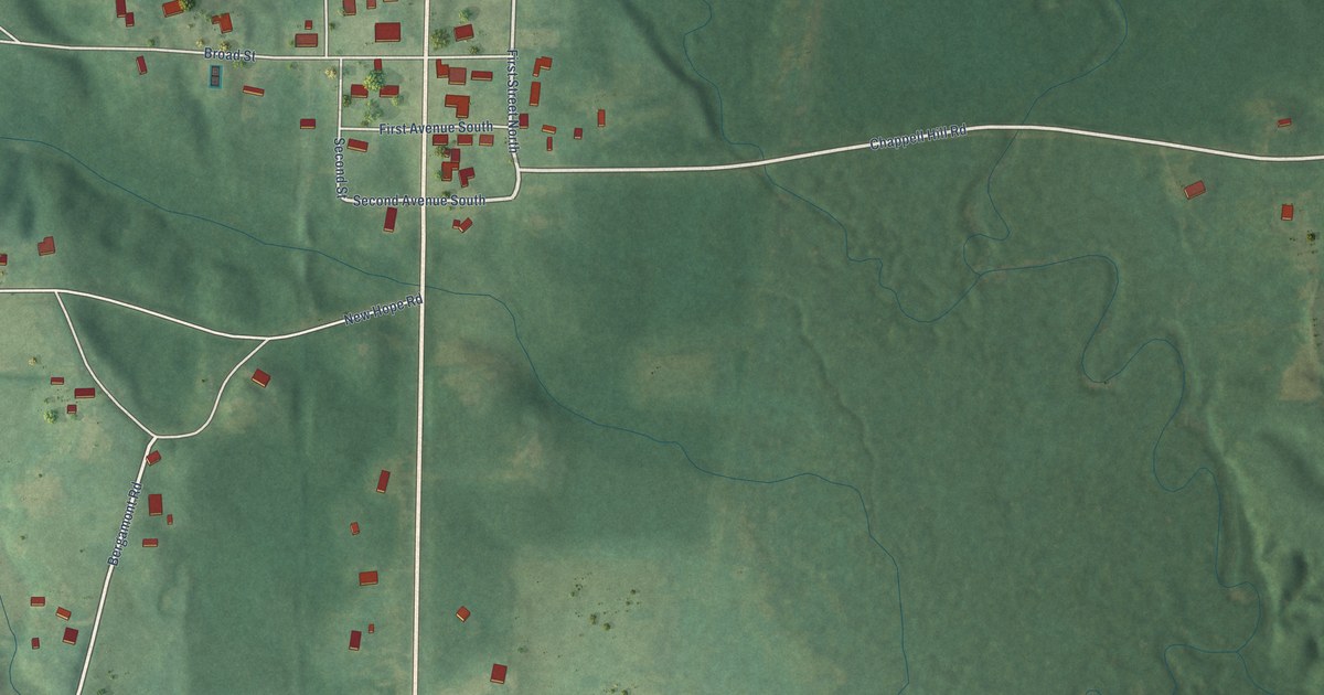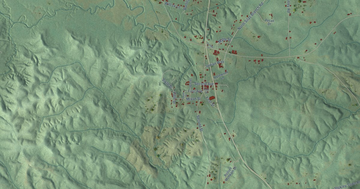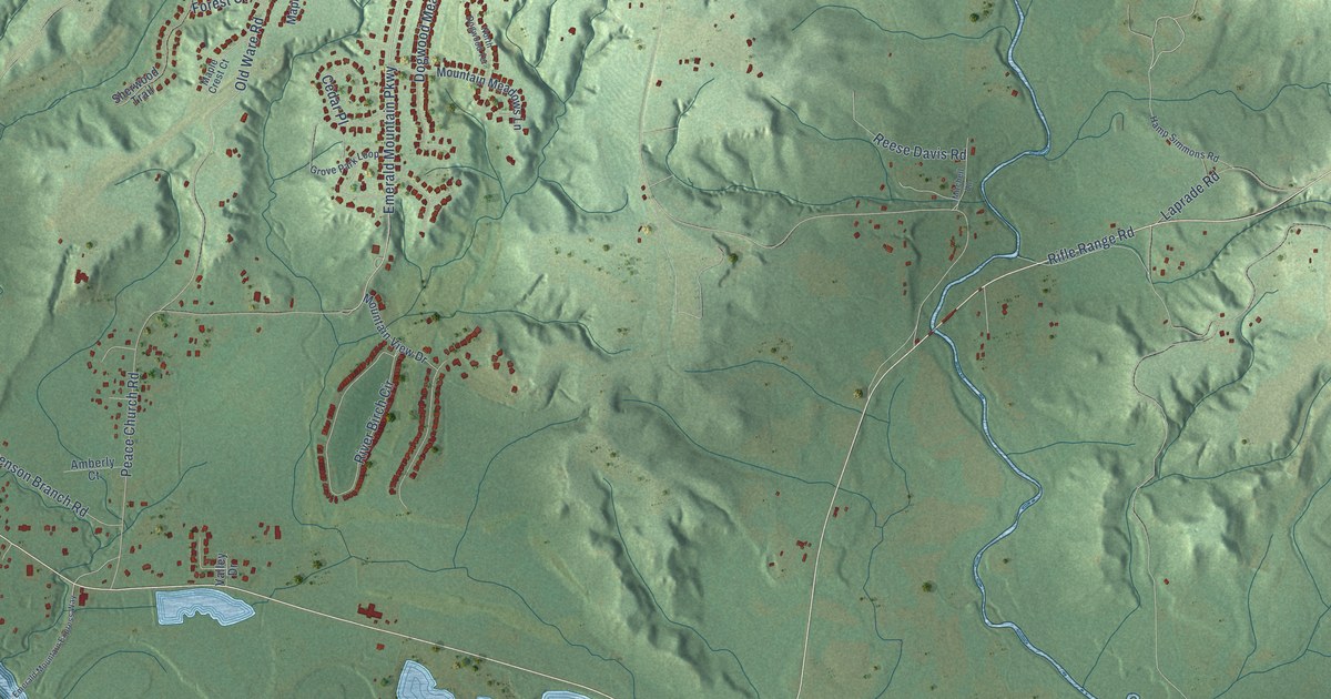
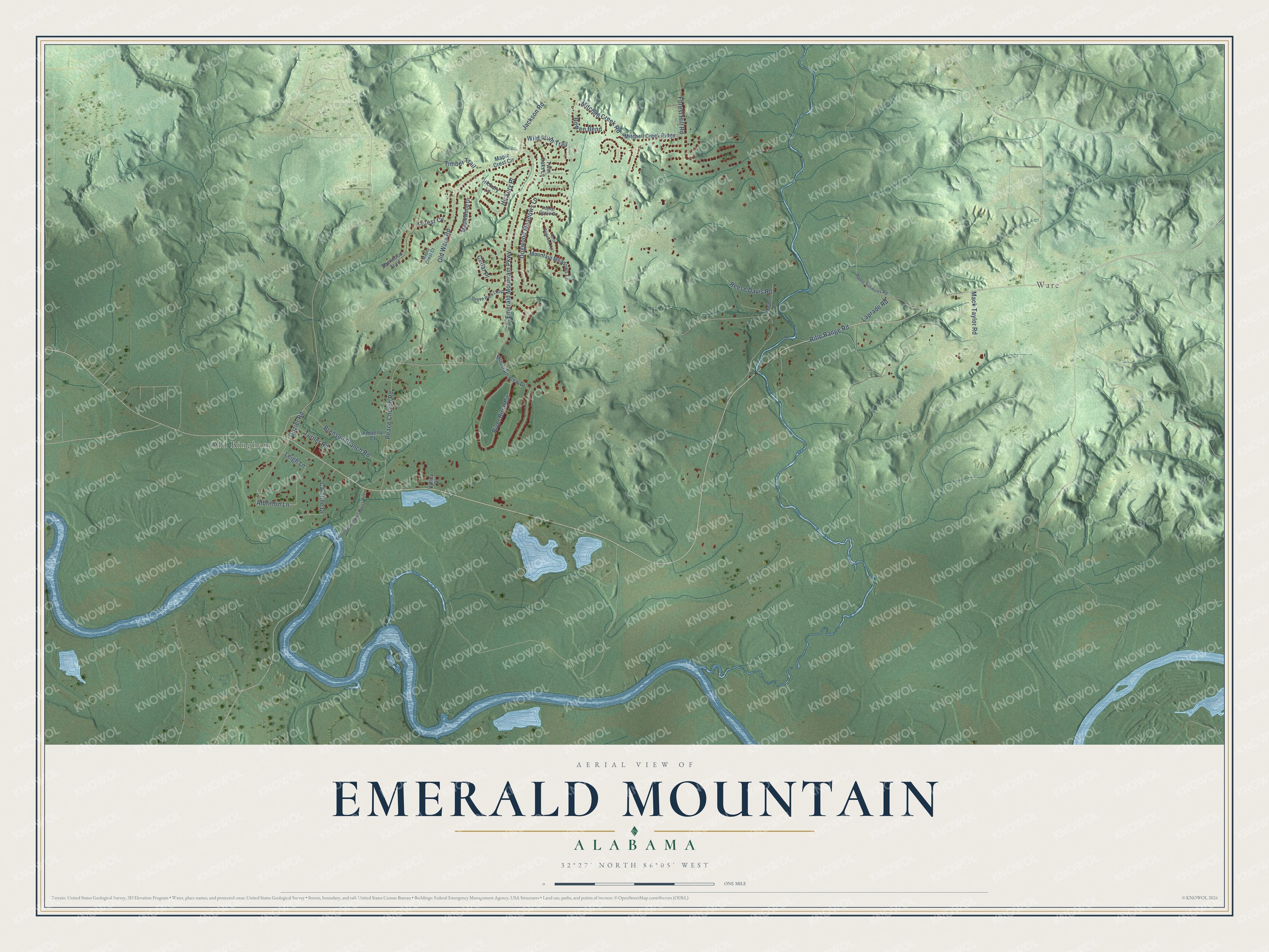
This beautifully detailed map of Emerald Mountain, Alabama was created in 2026 using aerial imagery combined with modern topographical, census, street and landmark data. It's a modern aerial view of Emerald Mountain in Elmore County, Alabama, that combines modern data with a vintage aesthetic. The roads feature printed names, and if you look closely you can find your exact house accurately shown in its correct location.
Explore an aerial view of Emerald Mountain, Alabama
On this map you'll find Ware, Old Bingham, Rifle Range Road, Emerald Mountain Parkway, Albritton Lane, Mitchell Creek Road, Old Ware Road, Mack Taylor Road, Peace Church Road, River Birch Circle, Dogwood Meadows Lane, Brenson Branch Road, and more. Each red shape is a building, so zoom in on the preview and look for yours.
Emerald Mountain has a story worth telling. The Creek town of Kolomi, which William Bartram called the beautiful town of Coolome, stood on the Tallapoosa River near its neighbor Fus-hatchee. Bartram described its houses of wooden frame and plastered walls, set in fours around square courtyards, and Benjamin Hawkins wrote in 1799 that the cornfields of the two towns ran together nearly four miles down the river. Fus-hatchee took its name from the Creek words for bird and tail. In melon season, the people of both towns called travelers in and gave them excellent melons and the best fare they had. That's from the Smithsonian Bureau of American Ethnology.
Emerald Mountain is a community in Elmore County. The Census Bureau counted 3,310 people here in 2020.
Take a closer look at the Emerald Mountain map
Names on this map
These names are printed on this map.
Places: Ware and Old Bingham.
Streets and roads: Rifle Range Road, Emerald Mountain Parkway, Albritton Lane, Mitchell Creek Road, Old Ware Road, Mack Taylor Road, Peace Church Road, River Birch Circle, Dogwood Meadows Lane, Brenson Branch Road, Caroline Drive, Laprade Road.
More street names, A to Z
Amberly Court, Bowen Bend, Cedar Place, Dozier Road, Emerald Mountain Express Way, Forest Cv, Forest Hill Road, Grove Park Loop, Hamp Simmons Road, Hickory Lane, Hickory Place, Jackson Road, Leigh Lane, Maple Crest Circle, Maple Crest Court, Maplewood Drive, Mitchell Creek Ridge, Mitchell Lane, Mountain Meadows Lane, Mountain View Drive, North Dogwood Terrace, Poplar Grove Drive, Reese Davis Road, Sherwood Trail, Timber Trail, Turner Road, Twin Oaks Lane, Valley Drive, Wild Plum Trail.
See it on a wall
The Emerald Mountain map as a framed print. Swipe for more.


Created by KNOWOL in 2026. The buildings are small red shapes, the roads carry their printed names, and shaded relief shows the shape of the land. The title panel reads "AERIAL VIEW OF EMERALD MOUNTAIN, ALABAMA" with 32°27' NORTH 86°05' WEST.
It looks right in a kitchen, an office or a den, and it's a gift for anyone who grew up in Emerald Mountain or moved away. Open the preview and find your street. See sizes and frames for the Emerald Mountain map.