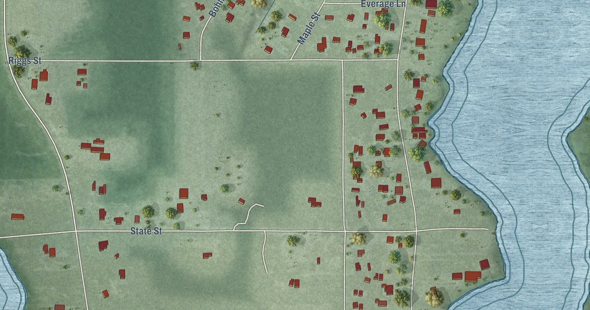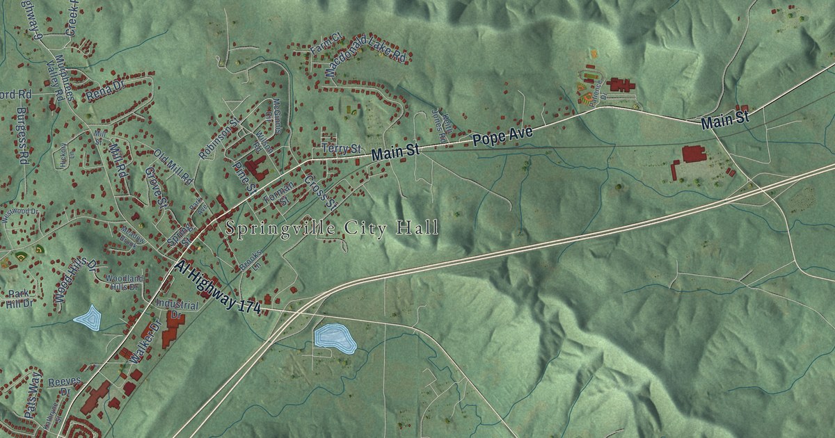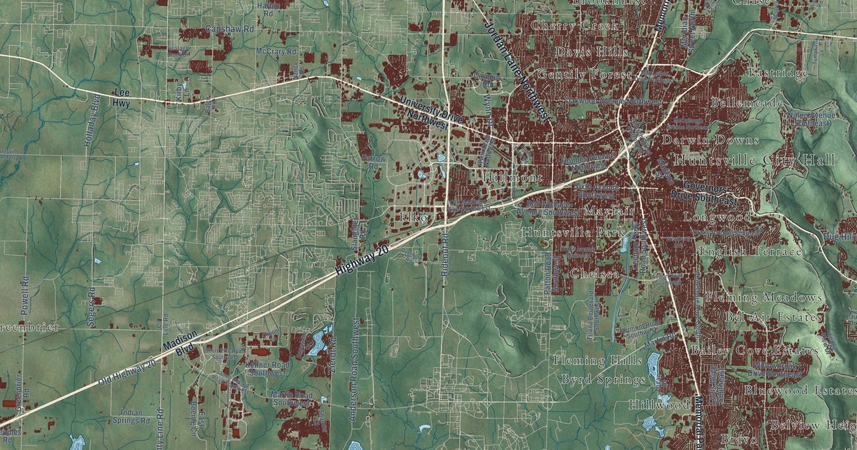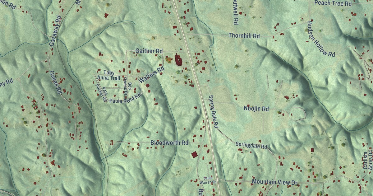
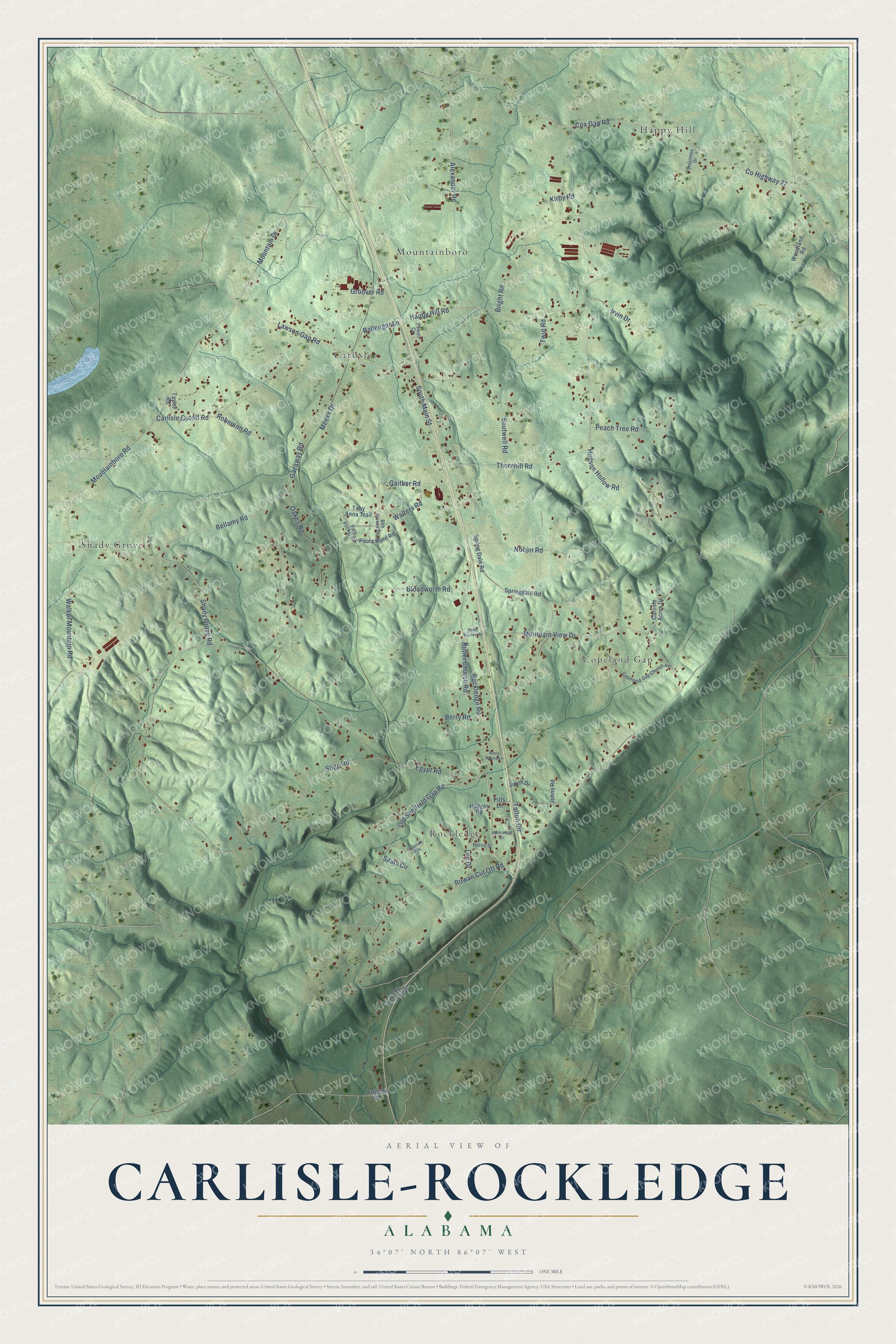
This beautifully detailed map of Carlisle-Rockledge, Alabama was created in 2026 using aerial imagery combined with modern topographical, census, street and landmark data. It's a modern aerial view of Carlisle-Rockledge in Etowah County, Alabama, that combines modern data with a vintage aesthetic. The roads feature printed names, and if you look closely you can find your exact house accurately shown in its correct location.
Explore an aerial view of Carlisle-Rockledge, Alabama
On this map you'll find Carlisle, Happy Hill, Rockledge, Shady Grove, Copeland Gap, Mountainboro, Co Highway 27, Gaither Road, Walters Road, Mountain View Drive, Egypt Road, Mountainboro Road, and more. Each red shape is a building, so zoom in on the preview and look for yours.
Every town has a first chapter, and Carlisle-Rockledge is no exception. Carlisle's ever-flowing artesian well was one of the most interesting natural attractions of the Boaz area. Olah H. Bartlett, who kept a store, a grist mill and a cotton gin at Carlisle, gave the land and the well for Carlisle School. When Highway 431 was laid between Boaz and Attalla, the spring was diverted into a pond, and the northbound lanes were poured over its source. That's from the Boaz Heritage centennial history.
Carlisle-Rockledge is a community in Etowah County. The Census Bureau counted 2,167 people here in 2020.
Take a closer look at the Carlisle-Rockledge map
Names on this map
These names are printed on this map.
Places: Carlisle, Happy Hill, Rockledge, Shady Grove, Copeland Gap and Mountainboro.
Streets and roads: County Highway 27, Gaither Road, Walters Road, Mountain View Drive, Egypt Road, Mountainboro Road, Gazaway Road, Happy Hill Road, Cox Gap Road, Sligo Road, Rockledge Road, Old Sheffield Gap Road.
More street names, A to Z
Alexander Road, Ballenger Lane, Bellamy Road, Berry Road, Bloodworth Road, Bob Owens Drive, Boutwell Road, Bright Road, Butler Church Road, Carlisle Acres Drive, Carlisle Cutoff Road, Christian Way, Copeland Gap Church Road, Groover Road, Harris Street, Hodges Road, Hudson Hollow Road, Irvin Drive, Johns Road, Kirby Road, Lawson Gap Road, Lee Drive, Littleton Road, Luckie Mountain Road, Meeks Drive, Mountain Drive, Neely Norma Lane, Noojin Road, Oakes Road, Pats Pocket Road, Paula Reed Road, Peach Tree Road, Pitts Lane, Powell Circle, Roberson Road, Rockledge Circle, Rowan Cut Off Road, Sauls Circle, Sauls Warren Road, Shady Grove Road, Smith Drive, South Main Street, Spring Dale Road, Springdale Road, Stepleton Drive, Talton Circle, Taylor Road, Thornhill Road, Toby Anna Trail, Twin Road, Walker Mountain Road, Woodland Road.
See it on a wall
The Carlisle-Rockledge map as a framed print. Swipe for more.


Created by KNOWOL in 2026. The buildings are small red shapes, the roads carry their printed names, and shaded relief shows the shape of the land. The title panel reads "AERIAL VIEW OF CARLISLE-ROCKLEDGE, ALABAMA" with 34°07' NORTH 86°07' WEST.
Hang it in the hallway, the office or the cabin, or give it to someone who left Carlisle-Rockledge and still calls it home. Open the preview and look for a street you know. See sizes and frames for the Carlisle-Rockledge map.