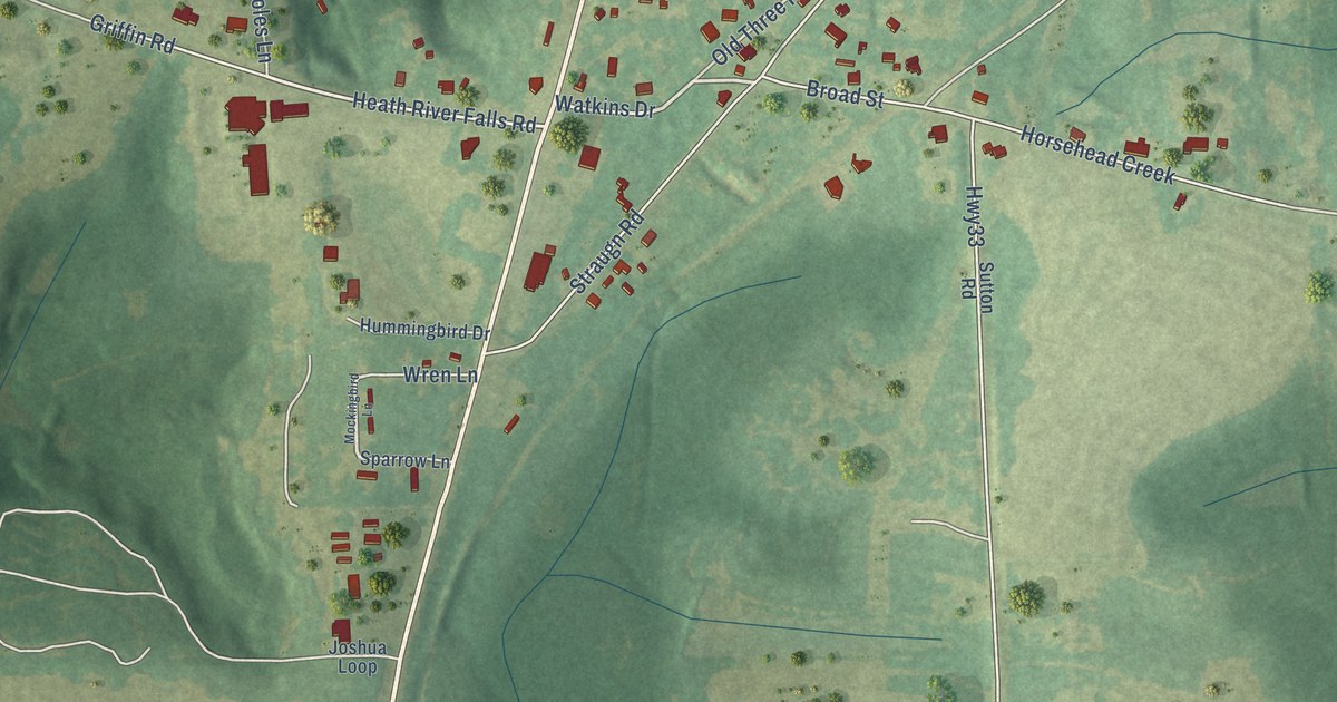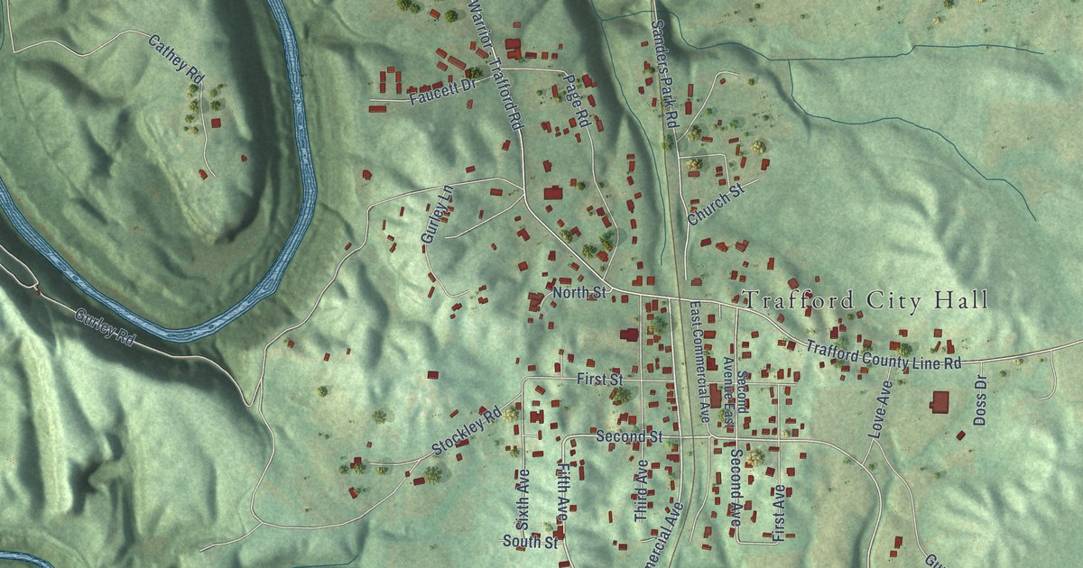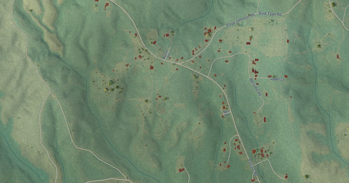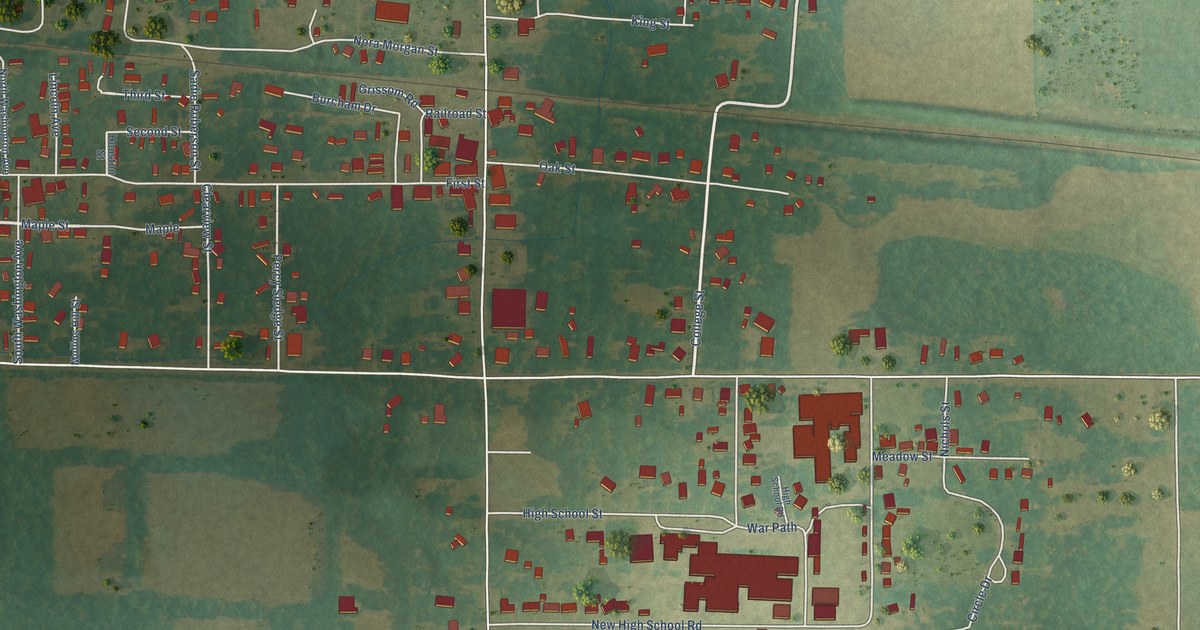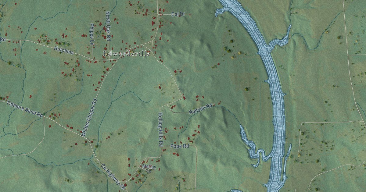
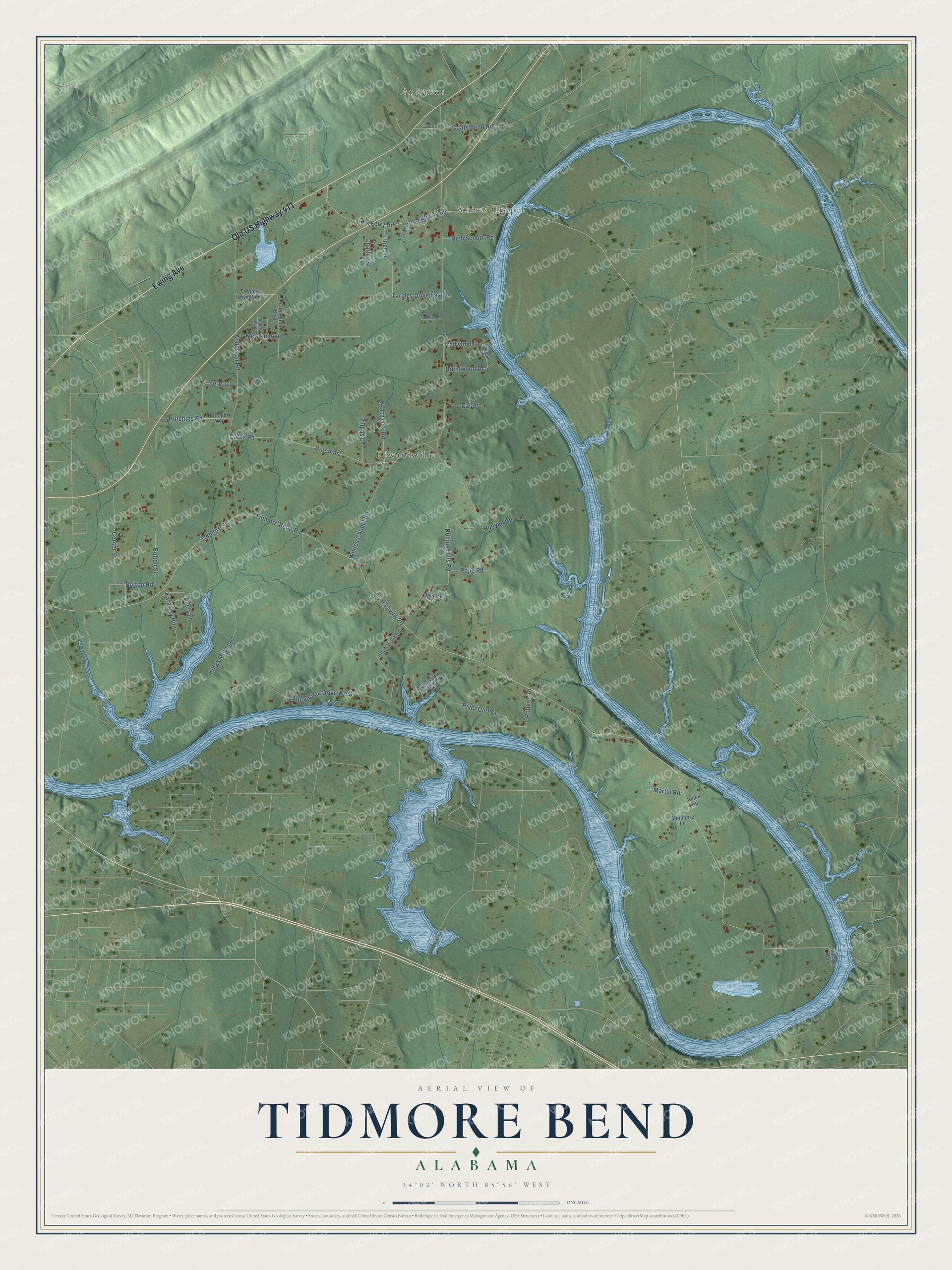
This beautifully detailed map of Tidmore Bend, Alabama was created in 2026 using aerial imagery combined with modern topographical, census, street and landmark data. It's a modern aerial view of Tidmore Bend in Etowah County, Alabama, that combines modern data with a vintage aesthetic. The roads feature printed names, and if you look closely you can find your exact house accurately shown in its correct location.
Explore an aerial view of Tidmore Bend, Alabama
On this map you'll find Anderson, Whites Chapel, Edwardsville, Old US Highway 411, Ewing Avenue, Hutchins Road, Co Highway 26, Tidmore Street, Tidmore Bend Road, Whites Chapel Road, Anderson Road, Rolling Hills Road, and more. Each red shape is a building, so zoom in on the preview and look for yours.
Every town has a first chapter, and Tidmore Bend is no exception. Whites Chapel Baptist Church began in 1879, when the settlement near Fitts Ferry on the Coosa River built a large meeting house on land given by W. A. White. The community that grew up around the church took the name Whites Chapel. After a revival in August 1880, about 600 people gathered on the riverbank for the baptisms at the ferry crossing. The first church was a log building that also served the community. In early 1880 the citizens chose it as the place for the public school, with the Rev. J. R. Trotter as teacher. That's from the Northeast Alabama Genealogical Society.
Tidmore Bend is a community in Etowah County. The Census Bureau counted 1,119 people here in 2020.
Take a closer look at the Tidmore Bend map
Names on this map
These names are printed on this map.
Places: Anderson, Whites Chapel and Edwardsville.
Streets and roads: Old US Highway 411, Ewing Avenue, Hutchins Road, County Highway 26, Tidmore Street, Tidmore Bend Road, Whites Chapel Road, Anderson Road, Rolling Hills Road, County Highway 65, Fitts Ferry Road, Kings Mount Road.
More street names, A to Z
Agnes Boulevard, Alicia Lane, Allenstein Boulevard, Aqua Vista Drive East, Aqua Vista Drive West, Aqua Vista Road, Bolton Road, Bolton Street, Brentwood Drive, Cal Drive, Cates Road, Center Street, Charley Street, Coats Bend Road, Elbert Street, Fambrough Drive, Glenmere Lane, Harrison Road, High School Road, Hutchins, Hutchins Avenue, Jerry Circle, Jones Road, Karaway Hills, Martin Road, McClain Avenue, McCoy Lane, North Oak Road, Phipps Lane, Pope Road, River Cliff Drive, Roberts Drive, Runyan Road, Shorelane Drive, Tarpley Drive East, Tarpley Drive West, Trailwood Lane, Troy Street, Village Way.
See it on a wall
The Tidmore Bend map as a framed print. Swipe for more.


Created by KNOWOL in 2026. The buildings are small red shapes, the roads carry their printed names, and shaded relief shows the shape of the land. The title panel reads "AERIAL VIEW OF TIDMORE BEND, ALABAMA" with 34°02' NORTH 85°56' WEST.
Hang it in the hallway, the office or the cabin, or give it to someone who left Tidmore Bend and still calls it home. Open the preview and look for a street you know. See sizes and frames for the Tidmore Bend map.