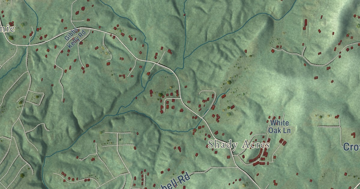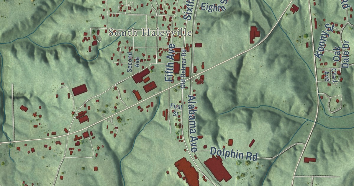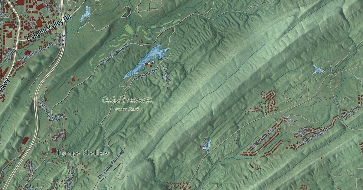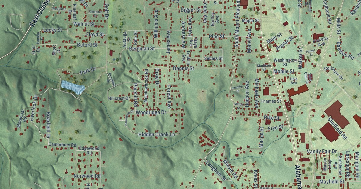
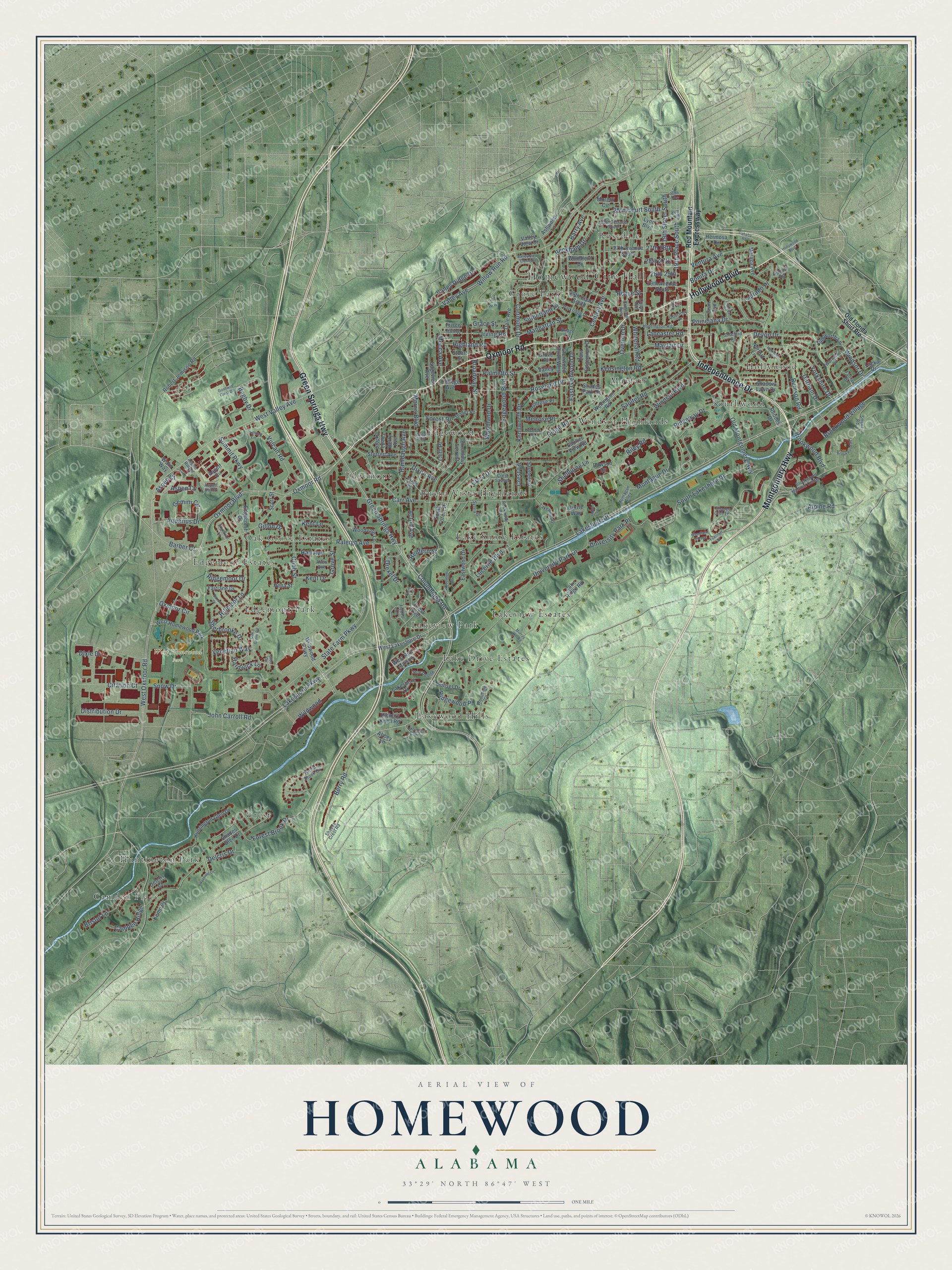
This beautifully detailed map of Homewood, Alabama was created in 2026 using aerial imagery combined with modern topographical, census, street and landmark data. It’s a one-of-a-kind view of Homewood that combines accurate data with a vintage aesthetic. The map shows every building in its true location, many of the roads carry their names, and the shaded topographic relief shows the shape of the land.
Explore an aerial view of Homewood, Alabama
On the map you’ll find Homewood City Hall, West Homewood Park, Buena Vista Highlands, Camden Place, Crest, Edgemont, Edgemont Park, Edgemoor Estates, Edgewood, Grove Park, Hollywood, Huntington Park, and more. If you look closely you can even find your house accurately drawn in its correct location. Zoom in on the preview to look for yours.
Did you know this piece of Homewood, Alabama history?
From the Encyclopedia of Alabama: "In 1970, the city created its own school system, breaking away from the Jefferson County system. The new Homewood High School opened in December 1972."
Take a closer look at the Homewood map
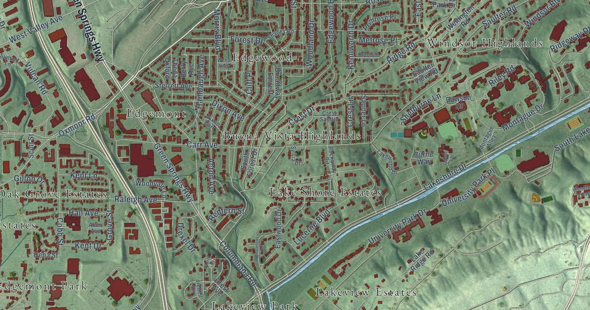
Street and place names on the Homewood, Alabama map
These names are printed on the map of Homewood, Alabama.
Places: Homewood City Hall, West Homewood Park, Buena Vista Highlands, Camden Place, Crest, Edgemont, Edgemont Park, Edgemoor Estates, Edgewood, Grove Park, Hollywood, Huntington Park, Lake Drive Estates, Lake Shore Estates, Lakeview Estates, Lakeview Park, Lakewood Hills, Mayfair, Oak Grove Estates, Rosedale, Southwood and Windsor Highlands.
Streets and roads: Independence Drive, Oxmoor Road, Montgomery Highway, Hollywood Boulevard, Green Springs Highway, Lakeshore Drive, Lakeshore Parkway, Valley Avenue, Oxmoor Boulevard, West Valley Avenue, Berry Road, Barber Court.
More street names, A to Z
19th Place South, 19th Street South, 25th 26th, 25th Alley, 25th Court South, 25th Terrace South, 27th 28th, 27th Avenue South, 28th 27th, 28th 29th, 29th Avenue South, 29th Court South, Abbey Lane, Acton Avenue, Allen Avenue, Alpine Road, Aquarius Drive, Ascott Road, Ashwood Lane, Aspen Circle, Aspen Court, Aspen Cv, Aspen Ridge, Aspen Valley, Bagby Drive, Barry Avenue, Beckham Drive, Berry Avenue, Bonita Drive, Bridge Lane, Bristol Lane, Broadway Forrest, Broadway Street, Brookwood Boulevard, Brookwood Medical Center Drive, Brookwood Place, Brookwood Village, Cahaba Road, Camden Ridge, Carr Avenue, Central Avenue, Citation Court, Clermont Drive, Cliff Place, Cobb Street, College Avenue, Columbiana Road, Cook Street, Courtney Drive, Crescent Avenue, Crest Avenue, Crest Drive, Crest Lane, Crest Saulter, Currie Way, Dale Avenue, Dawson Drive, Delcris Court, Delcris Drive, Devon Drive, Distribution Drive, Dixie Drive, Dixon Avenue, Dixon Carr, Drexel Drive, Durham Drive, East Edgewood Drive, East Glenwood Drive, Eastwood Drive, Edgecrest Drive, Edgeknoll Lane, Edgeview Avenue, Edgewood Boulevard, Fairfax Drive, Fairlane Drive, Fern Street, Forest Brook Circle, Forest Brook Drive, Forest Drive, Foxcroft Street, Frisco Irving, Gemini Circle, Gillon Drive, Glen Cv, Glenwood Drive West, Goodwin Crest Drive, Grace Street, Gran Avenue, Grove Place, Grove Street, Hall Avenue, Hambaugh Avenue, Hampton Drive, Hardwick Lane, Hena Street, Hermosa Drive, Hickory Knoll Road, Highland Road, Hillmoor Lane, Huntington Glen Drive, Huntington Road, Iredell Circle, Irving Road, John Carroll Road, Kemp Court, Kenilworth Drive, Kensington Road, Kent Drive, Kent Lane, Lake Ridge Road, Lakeshore Court, Lakewood Drive, Lancaster Road, Laplaya Place, Laprado Place, Linden 18th, Lucerne Boulevard, Luckie Drive, Lynn Boulevard, Malaga Avenue, Manhattan Street, Mayfair Drive, Mecca Avenue, Melrose Place, Montague Alley, Montague Drive, Moretti Circle, Morris Boulevard, Mountain Gap Circle, Murray Hill Road, Norfolk Lane, Oak Grove Road, Odom Lane, Old Florida Short Route, Old Montgomery Highway, Overlook Road, Overton Drive, Oxmoor Circle, Palmetto Street, Parkridge Drive, Poinciana Drive, Primrose Place, Raleigh Avenue, Redfern Street, Red Mountain Expressway, Reese Street, Rhodes Drive, Ridgemoor Drive, Ridge Road, Ridgeway Drive, Ridgewood Place, Riley Road, Robert Jemison Road, Rockaway Road, Roseland Drive, Rue Deville, Rumson Road, Saulter Lane, Saulter Road, Saulter View Road, Saxon Drive, Scott Street, Shades Cliff Terrace, Shades Crest Road, Shades Glen Drive, Shades Park Drive, Shades Road, Shadow Lawn Drive, Shelburne Lane, Sherbrooke Drive, Smyer Road, Snow Drive, South Forest Drive, South Lakeshore Drive, State Farm Parkway, Sterrett Avenue, Stratford Road, Stuart Street, Summit Lane, Summit Parkway, Sunset Drive, Sutherland Place, Sylvia Drive, Tamworth Lane, Theda Oxford, University Park Drive, University Park Place, Valley Place, Valley Ridge Drive, Valley View Clermont, Valley View Drive, Velmont Lane, Venetian Way, Ventura Avenue, Vulcan Road, Ward Way, Warwick Road, Wellington Road, Wena Alley, West Lakeshore Drive, West Oxmoor Road, West Rue Maison, Whitehall Road, Wildwood, Wildwood Parkway, Willow Run Road, Windsor Boulevard, Windsor Drive, Woodbine Drive, Woodfern Drive, Woodland Drive, Woodland Village, Woodmont Drive, Woodvale Lane, Yorkshire Drive.
See the Homewood, Alabama map on a wall
The Homewood map as an 18 x 24 inch print in a black frame.

This beautifully detailed map of Homewood makes an attractive addition to your office, library, or den, and it can even be used to teach children the geography and history of the area. It also makes a great gift for anyone with Homewood roots. When you’re done exploring, click here to get your copy of the Homewood map.