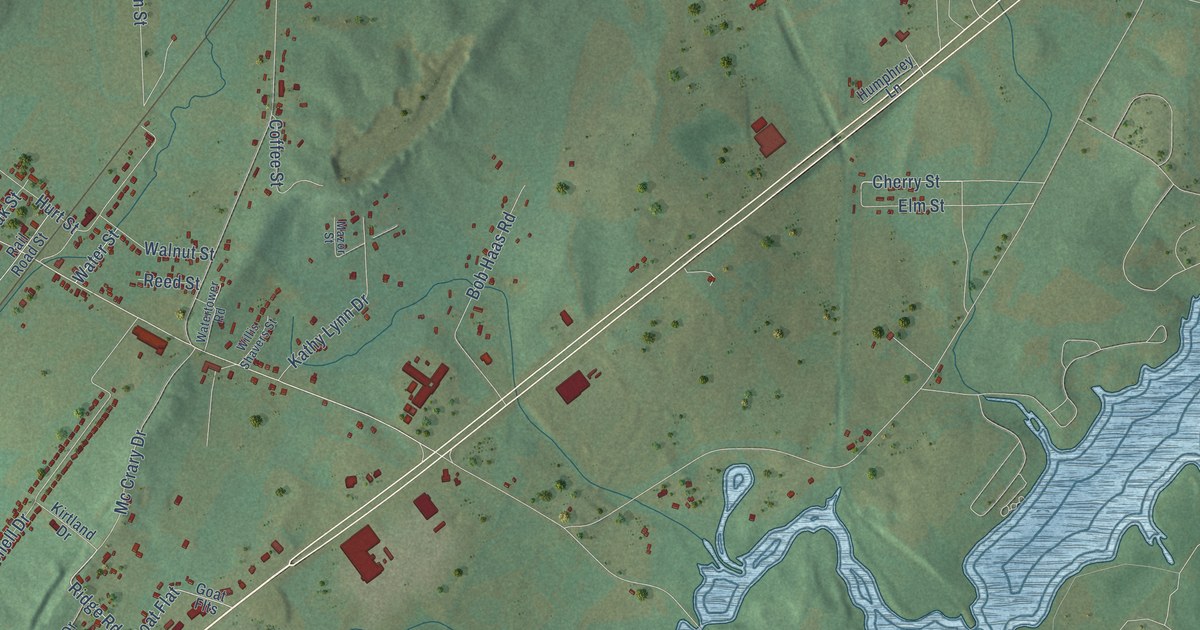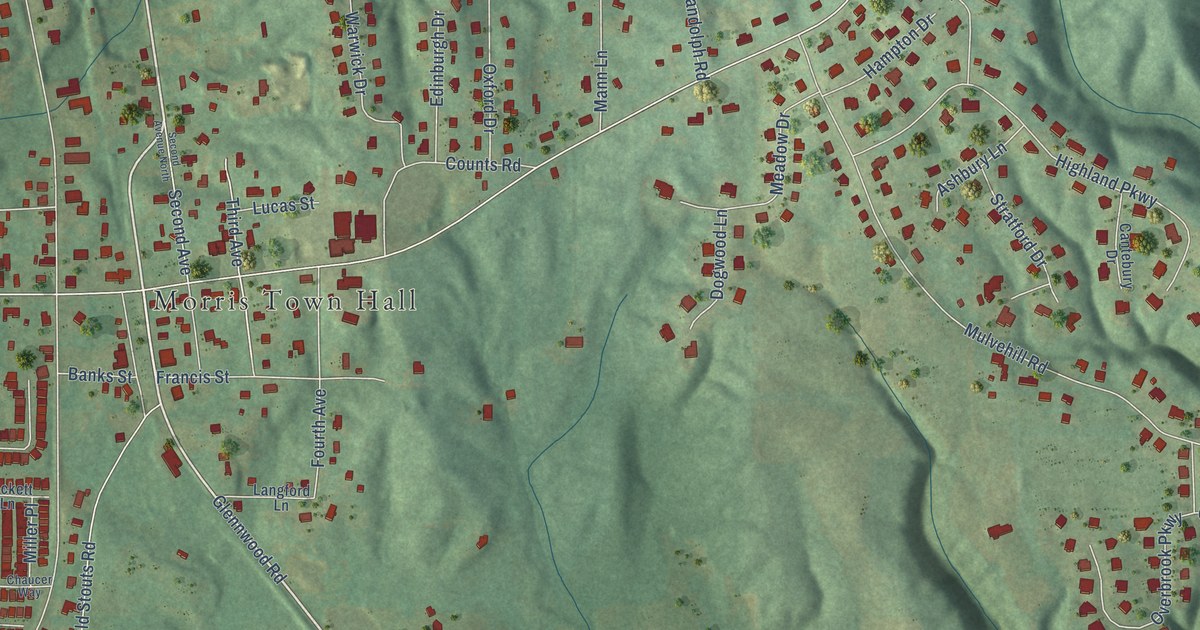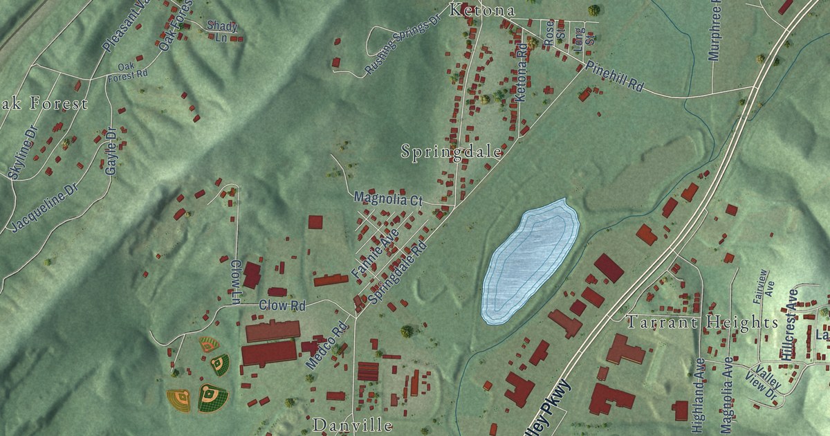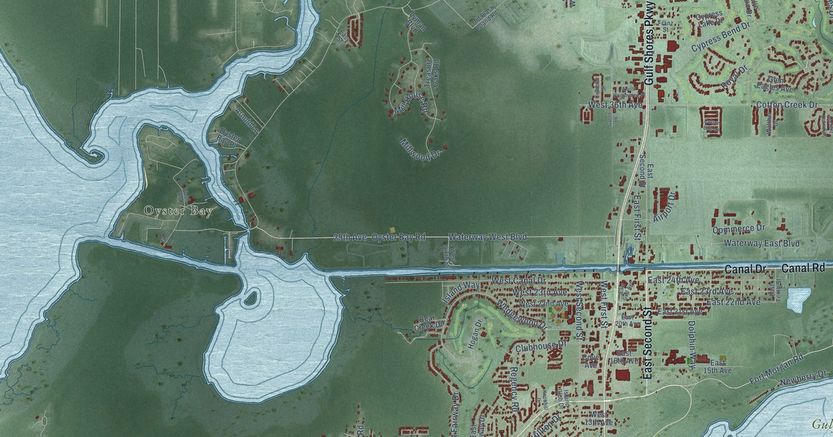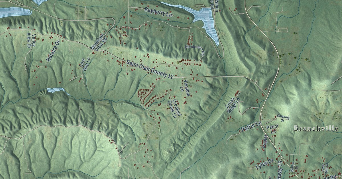
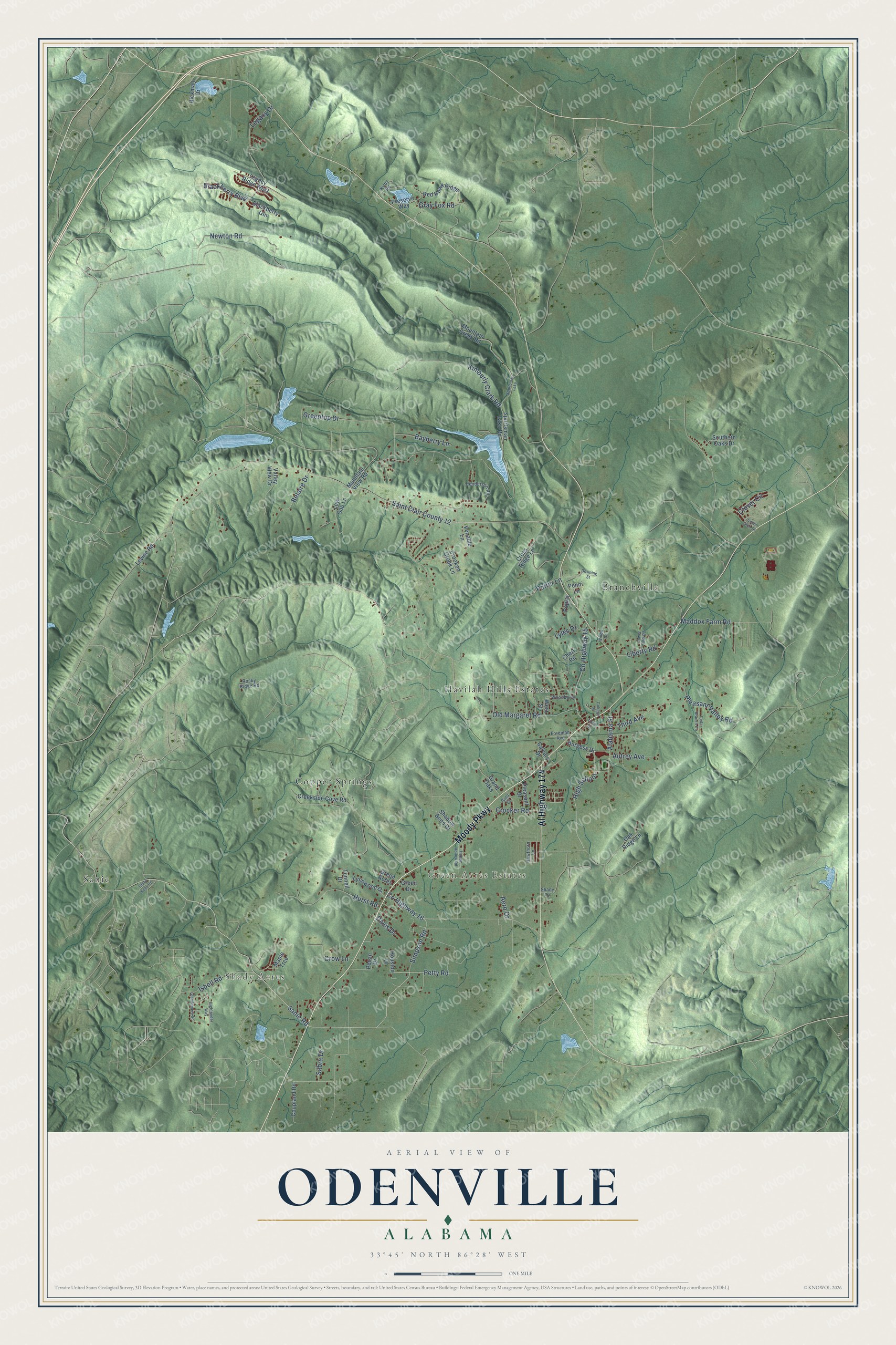
This beautifully detailed map of Odenville, Alabama was created in 2026 using aerial imagery combined with modern topographical, census, street and landmark data. It's a modern aerial view of Odenville in St. Clair County, Alabama, that combines modern data with a vintage aesthetic. The roads feature printed names, and if you look closely you can find your exact house accurately shown in its correct location.
Explore an aerial view of Odenville, Alabama
On this map you'll find Shady Acres, Green Acres Estates, Branchville, Copper Springs, Havilah Hills Estates, Sanie, Al Highway 174, Moody Parkway, Simpson Road, Old Margaret Road, Crocker Road, Newton Road, and more. Each red shape is a building, so zoom in on the preview and look for yours.
Every town has a first chapter, and Odenville is no exception. The record at encyclopediaofalabama.org puts it this way: "Hardwick Tunnel in Odenville The Hardin family, the first to settle on the current location of Odenville, moved there in 1824 and established a blacksmithing/cabinet-making business, giving the settlement its initial name: Hardin's Shop."
Odenville is a city in St. Clair County. The Census Bureau counted 4,969 people here in 2020.
Take a closer look at the Odenville map
Names on this map
These names are printed on this map.
Places: Shady Acres, Green Acres Estates, Branchville, Copper Springs, Havilah Hills Estates, Sanie and Sportsman Lake.
Streets and roads: Al Highway 174, Moody Parkway, Simpson Road, Old Margaret Road, Crocker Road, Newton Road, County Highway 16, High School, Saint Clair County 12, Greentop Drive, Legacy Drive, Pleasant Valley Road.
More street names, A to Z
Aero Drive, Alabama Street, Autrey Avenue, Bayberry Lane, Belaire Drive, Blackberry Boulevard, Blackberry Gln, Burgess Drive, Calvary Drive, Cedar Branch Circle, Chert Road, Clover Circle, College Street, County Highway 15, Coupland Road, Creekside Cove Road, Crooked Creek Lane, Cross Ridge Lane, Crow Lane, Davis Drive, Downing Street, Foreman Avenue, Gibbs Kelly Road, Gina Court, Glendemere Street, Grand Oaks, Gray Fox Road, Green Acres, Green Drive, Happy Hollow Road, Hawthorn Lane, Henderson Road, Hickman Drive, Highlander Way, Houston Drive, Hurst Road, Isbell Road, Kimberly Clark Road, Kirby Road, Legacy Ridge West, Levine Road, Liberty Road, Lower Mill Road, Low Gap Lane, Lyles Drive, Lynnwood Drive, Maddox Farm Road, Maple Trce, Mountain Creek Road, Mountain View Road, Oak Ridge Lane, Pecan Drive, Penni Lane, Petty Road, Pleasant Drive, Poplar, Potter Lane, Preserve Way, Red Hawk Ridge, Rocky Ridge Road, Sabra Drive, Sanie Road, Shadow Bend Drive, Shady Lane, Smith Glen Drive, Southern Oaks Drive, Sportsman Lake Road, Third Avenue, Third Street, Tunnell Drive, Valley View Drive, Venable Lane, West Street, Willow Drive, Woodberry.
Created by KNOWOL in 2026. The buildings are small red shapes, the roads carry their printed names, and shaded relief shows the shape of the land. The title panel reads "AERIAL VIEW OF ODENVILLE ALABAMA" with 33°45' NORTH 86°28' WEST.
Hang it in the hallway, the office or the cabin, or give it to someone who left Odenville and still calls it home. Open the preview and look for a street you know. See sizes and frames for the Odenville map.