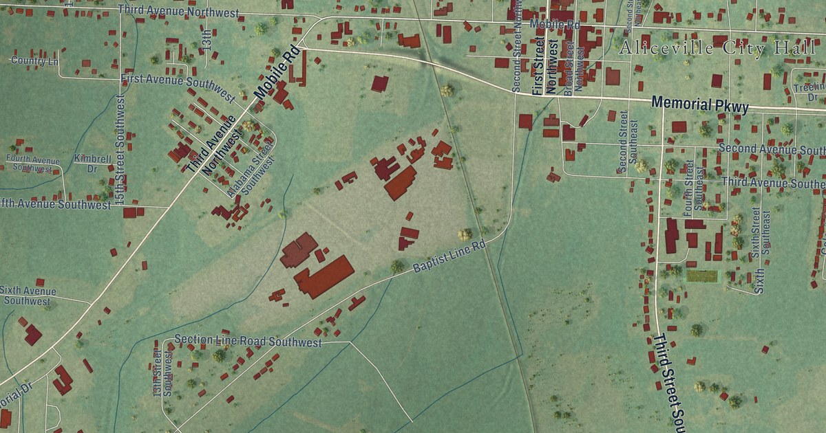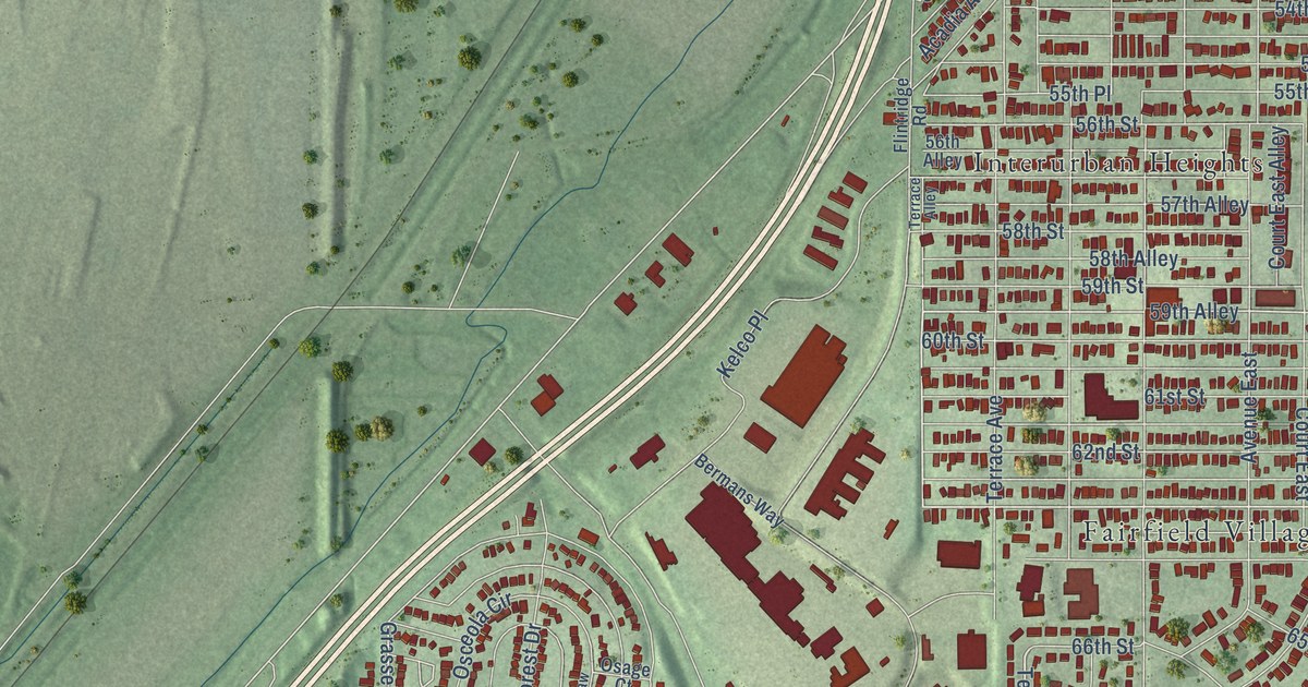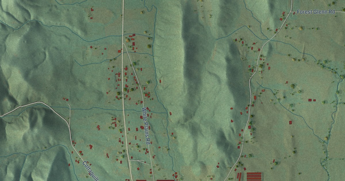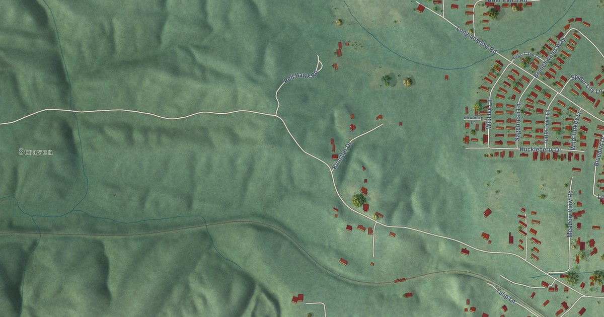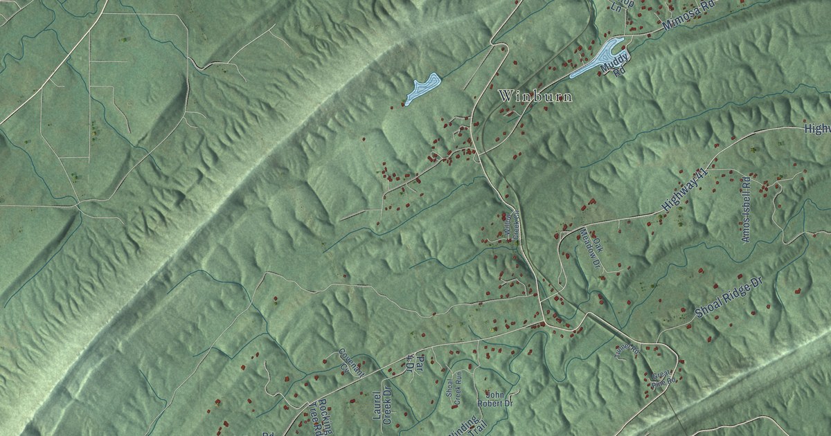
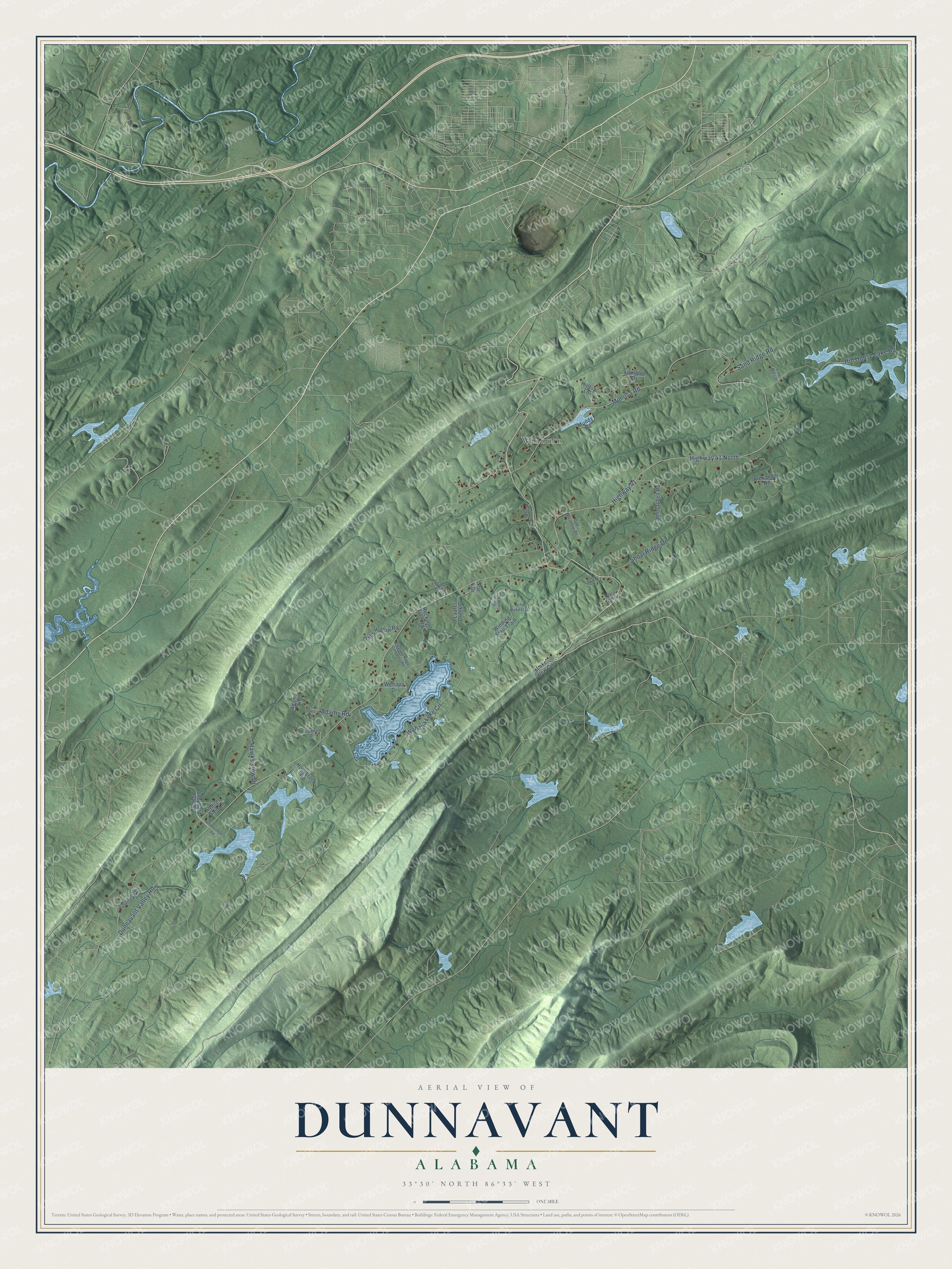
This beautifully detailed map of Dunnavant, Alabama was created in 2026 using aerial imagery combined with modern topographical, census, street and landmark data. It's a modern aerial view of Dunnavant in Shelby County, Alabama, that combines modern data with a vintage aesthetic. The roads feature printed names, and if you look closely you can find your exact house accurately shown in its correct location.
Explore an aerial view of Dunnavant, Alabama
On this map you'll find Winburn, Highway 41, Mimosa Road, Dunnavant Valley Road, Wehapa Lake Circle, Highway 41 North, Sand Ridge Road, Hill House Lake Road, Adams Road, Shoal Ridge Drive, Hawks View Drive, Shephard Gap Road, and more. Each red shape is a building, so zoom in on the preview and look for yours.
Here is a piece of Dunnavant history. Dunnavant's first school was taught in a church near the Headly Branch, with J. O. Durrough as teacher. When the Dunnavant Baptist Church, where classes later met, burned in 1921, pupils were split among four schools in the valley. By 1923 they were brought back together in a new schoolhouse that the whole community worked to equip. That's from the Shelby County Historical Society.
Dunnavant is a community in Shelby County. The Census Bureau counted 936 people here in 2020.
Take a closer look at the Dunnavant map
Names on this map
These names are printed on this map.
Places: Winburn.
Streets and roads: Highway 41, Mimosa Road, Dunnavant Valley Road, Wehapa Lake Circle, Highway 41 North, Sand Ridge Road, Hill House Lake Road, Adams Road, Shoal Ridge Drive, Hawks View Drive, Shephard Gap Road, Southoak Drive.
More street names, A to Z
Adams Lane, Alexander Road, Amos Isbell Road, Arlington Drive, Covenant Cv, Dogwood Drive, Great Pine Road, Heathermoore Road, Hilltop Lane, Hollybrook Road, John Robert Drive, Lake Mary Drive, Lake View Circle, Laurel Creek Drive, Muddy Road, Oak Meadow Drive, Owl's Hollow Road, Par 4 Drive, Pleasant Ridge Cemetary Road, Rocking Tree Road, Shoal Creek Run, Squires Glen Lane, Travis Road, Tunnel Road, Wehapa Drive, Willow Creek Circle, Winding Stair Trail.
See it on a wall
The Dunnavant map as a framed print. Swipe for more.


Created by KNOWOL in 2026. The buildings are small red shapes, the roads carry their printed names, and shaded relief shows the shape of the land. The title panel reads "AERIAL VIEW OF DUNNAVANT, ALABAMA" with 33°30' NORTH 86°33' WEST.
It suits a den, a classroom or a front hall, and it makes a gift for anyone with Dunnavant roots. Open the preview and find the block you know. See sizes and frames for the Dunnavant map.