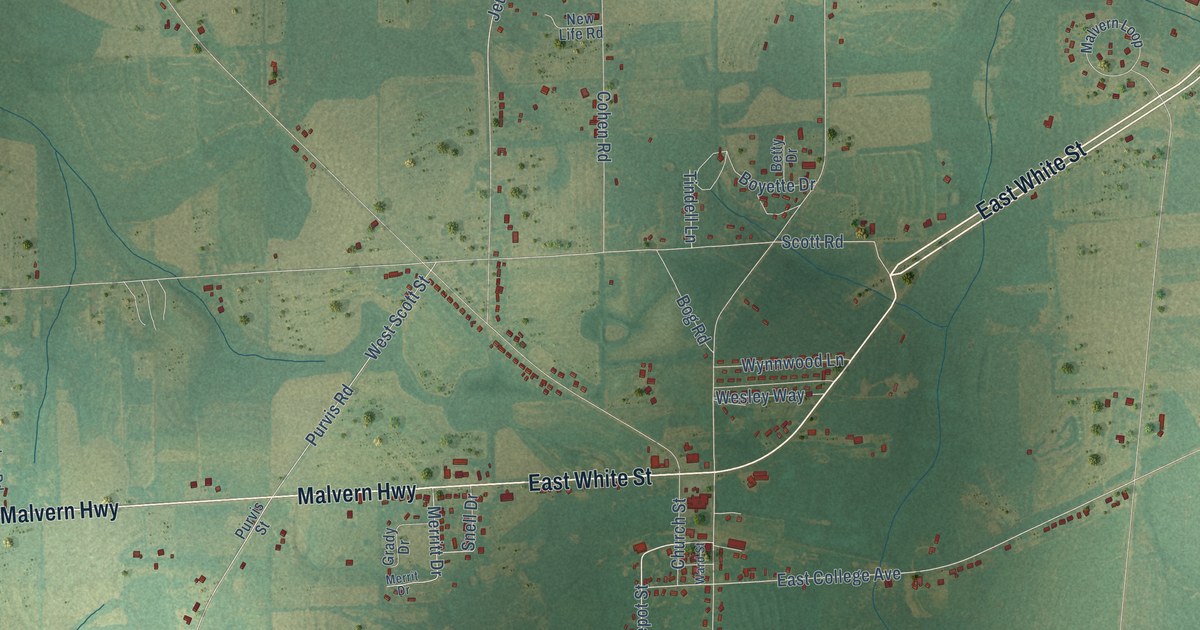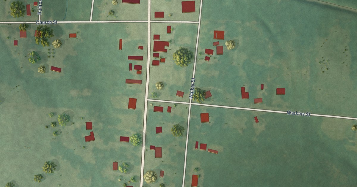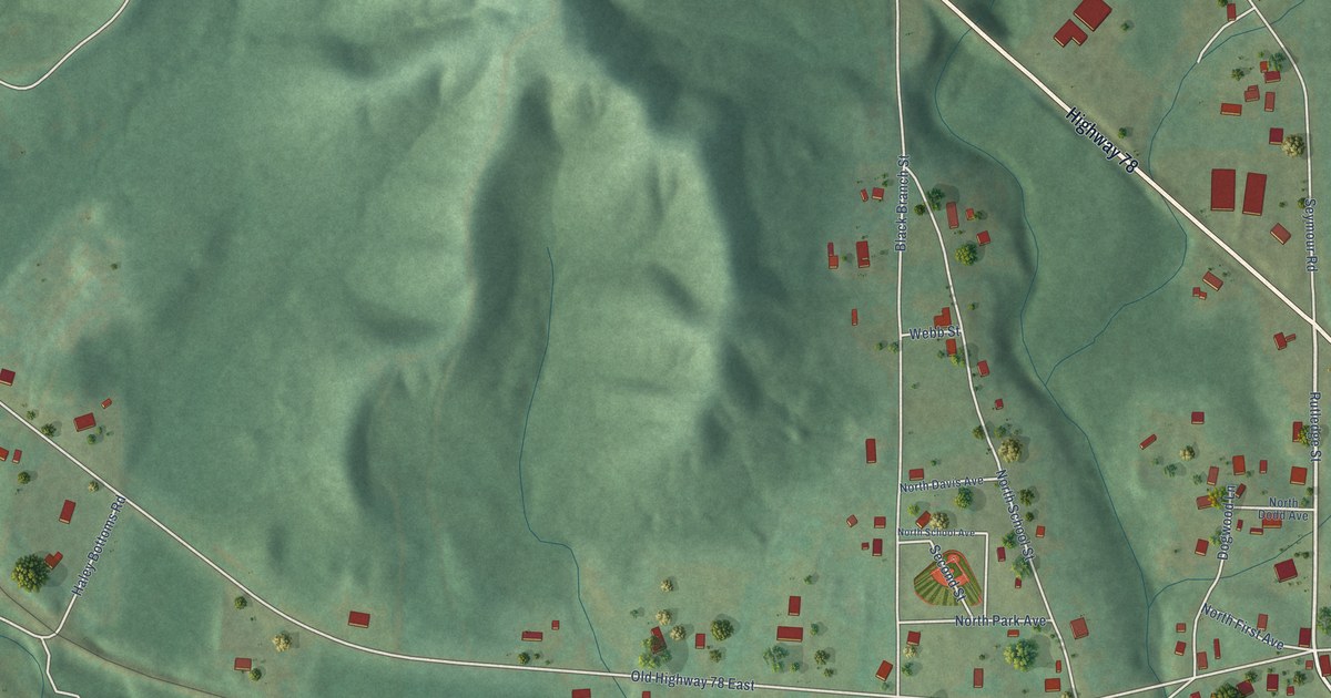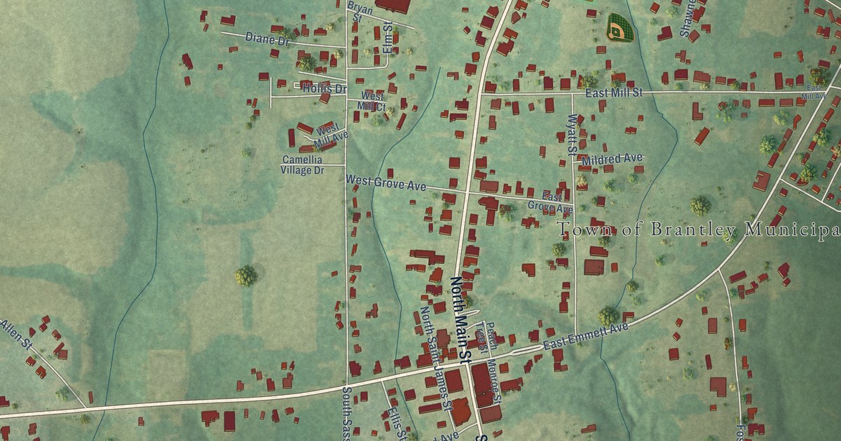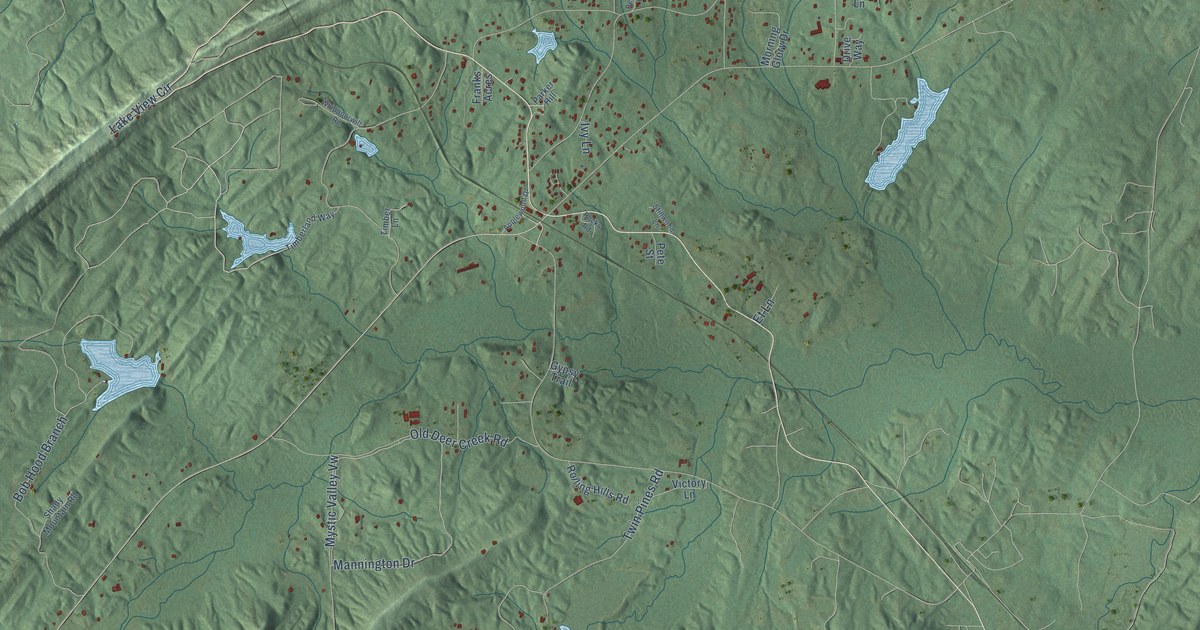
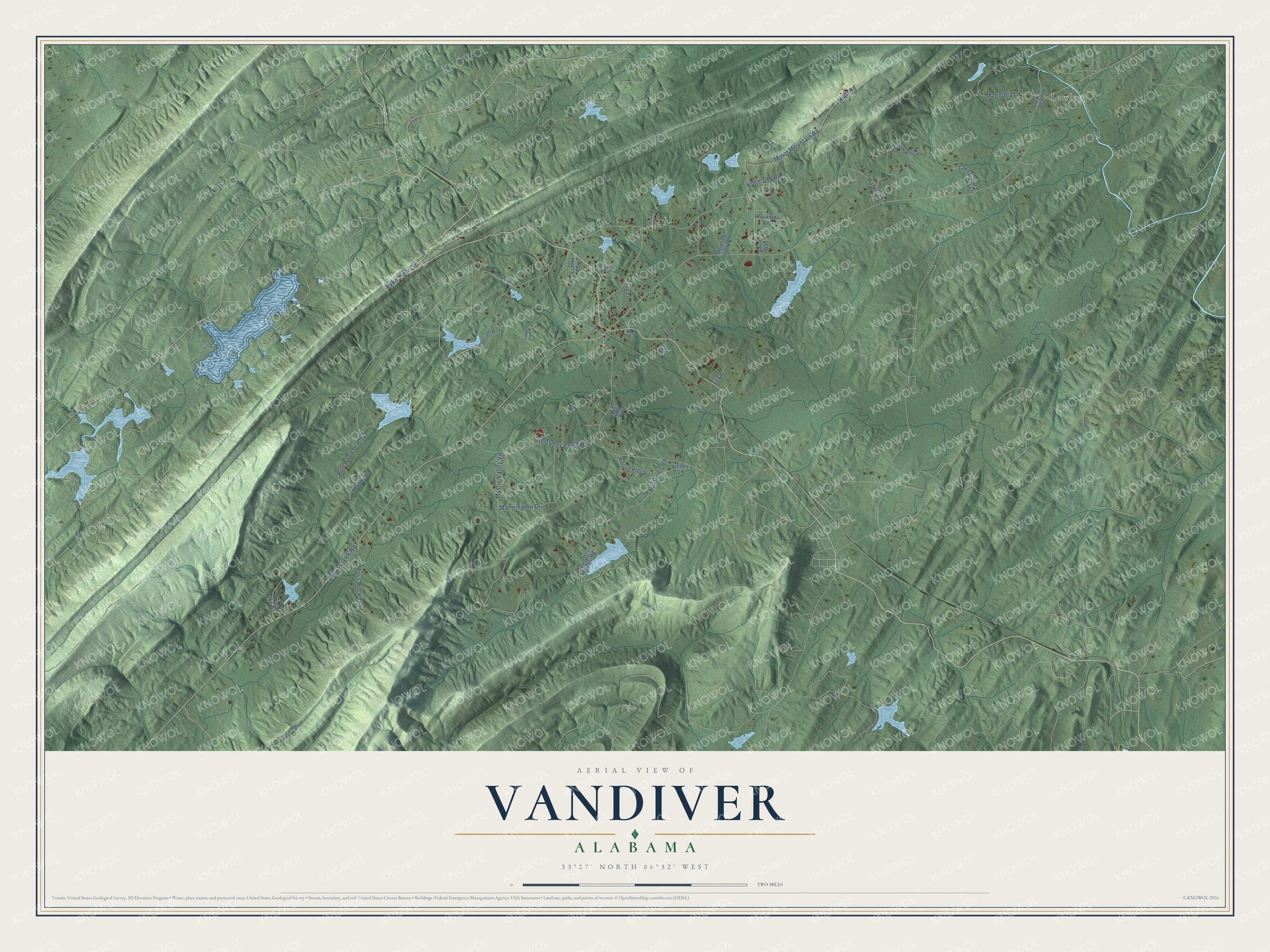
This beautifully detailed map of Vandiver, Alabama was created in 2026 using aerial imagery combined with modern topographical, census, street and landmark data. It's a modern aerial view of Vandiver in Shelby County, Alabama, that combines modern data with a vintage aesthetic. The roads feature printed names, and if you look closely you can find your exact house accurately shown in its correct location.
Explore an aerial view of Vandiver, Alabama
On this map you'll find Lawley, Mannington Drive, Bear Creek Road, Mystic Valley Vw, High Road, Minor Mountain Road, Old Deer Creek Road, Bob Hood Branch, Twin Pines Road, Lake View Circle, Moss Rock Trail, Magnolia Lane, and more. Each red shape is a building, so zoom in on the preview and look for yours.
Vandiver has a story worth telling. Vandiver was named for J. W. Vandiver, one of its first settlers, and grew up on the Central of Georgia Railroad north of Sterrett. A sawmill flourished for a while in the small mountain community, known for its scenery. One spot, called the Penitentiary, was a fertile farm walled in by steep mountains, with one narrow opening where a stream escaped. That's from the Shelby County Historical Society.
Vandiver is a community in Shelby County. The Census Bureau counted 1,084 people here in 2020.
Take a closer look at the Vandiver map
Names on this map
These names are printed on this map.
Places: Lawley.
Streets and roads: Mannington Drive, Bear Creek Road, Mystic Valley Vw, High Road, Minor Mountain Road, Old Deer Creek Road, Bob Hood Branch, Twin Pines Road, Lake View Circle, Moss Rock Trail, Magnolia Lane, Edgeland Road.
More street names, A to Z
Applewood Drive, Beacon Drive, Brookside Lane, Crabapple Lane, Crystal Lake Drive, Drive Way, Et Lane, Franks Acres, Gypsy Trail, Hunters Lane, Ivy Lane, Lakeview Drive, Morning Glory Drive, Parker Hill, Pete Street, Rocks Road, Rolling Hills Road, Saunders Bridge Road, Seven Bark Road, Shady Mountain Road, Stillwood Lane, Timberland Way, Timber Lane, Victory Lane, Whippoorwill Road.
See it on a wall
The Vandiver map as a framed print. Swipe for more.


Created by KNOWOL in 2026. The buildings are small red shapes, the roads carry their printed names, and shaded relief shows the shape of the land. The title panel reads "AERIAL VIEW OF VANDIVER, ALABAMA" with 33°27' NORTH 86°32' WEST.
It looks right in a kitchen, an office or a den, and it's a gift for anyone who grew up in Vandiver or moved away. Open the preview and find your street. See sizes and frames for the Vandiver map.