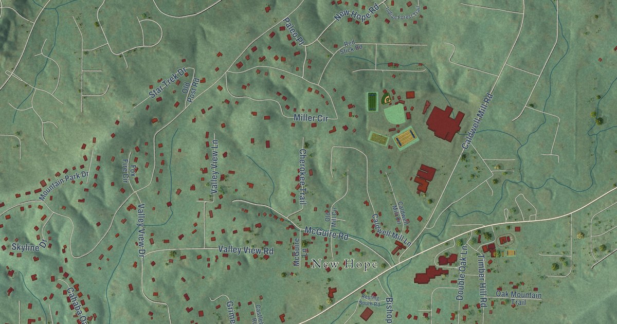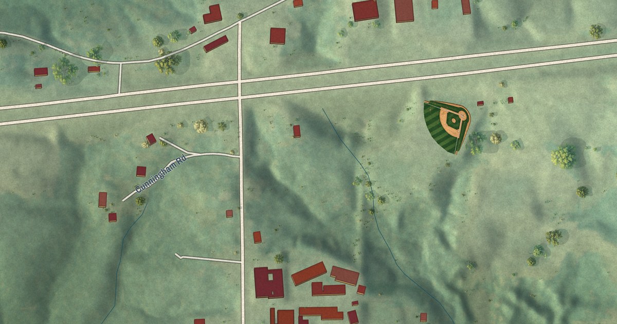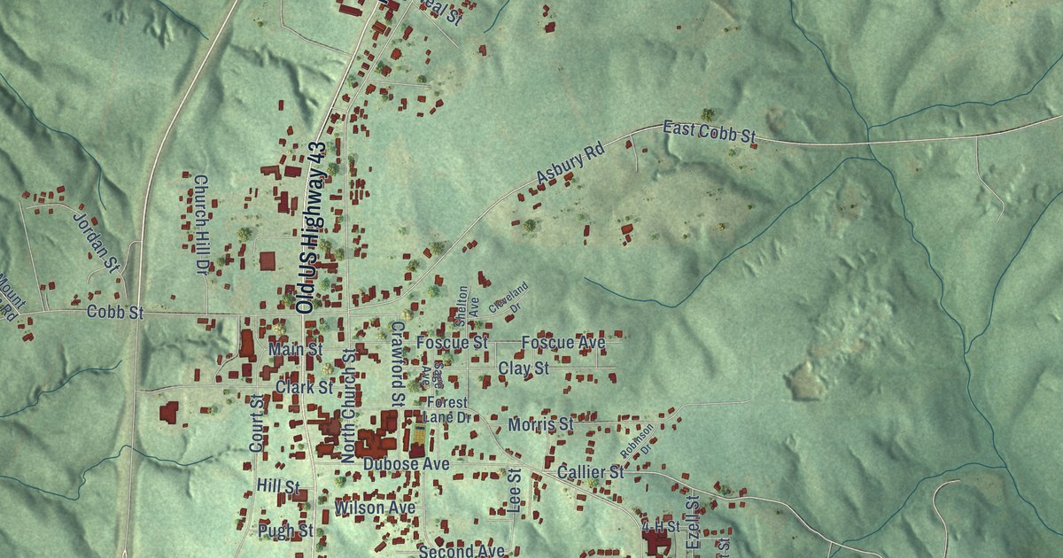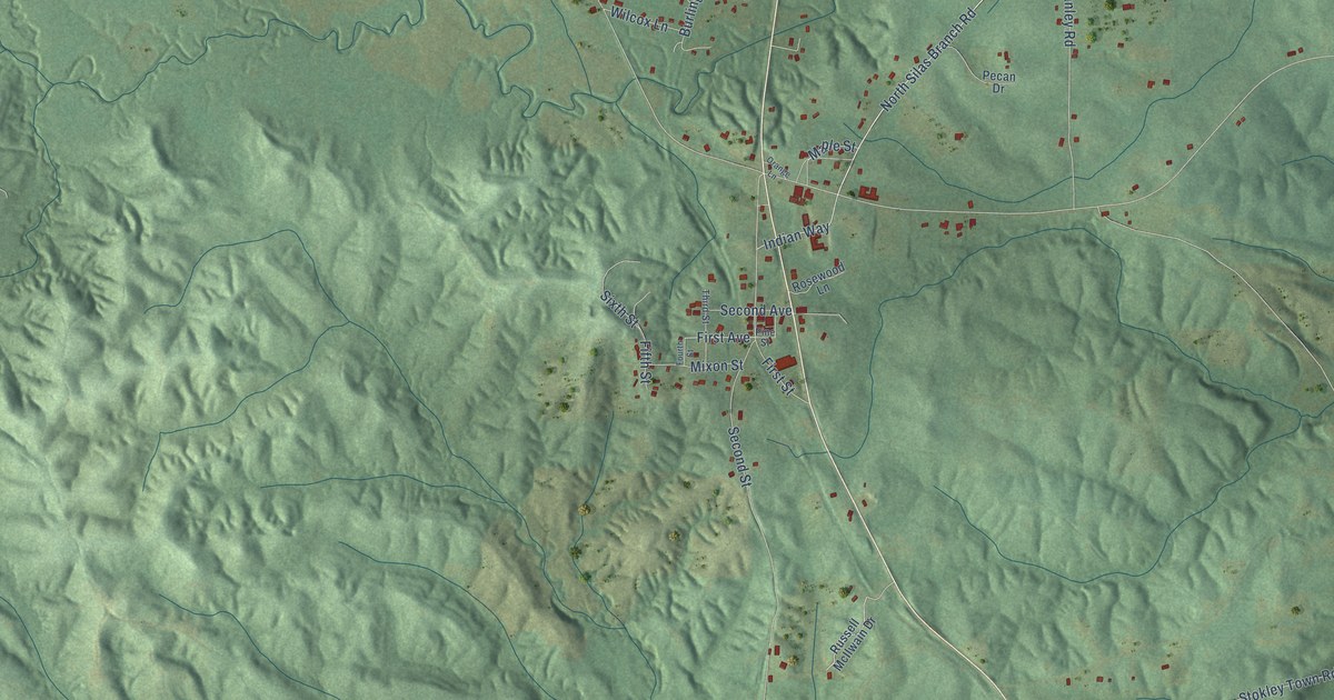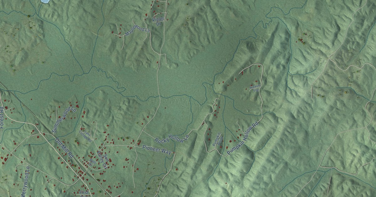
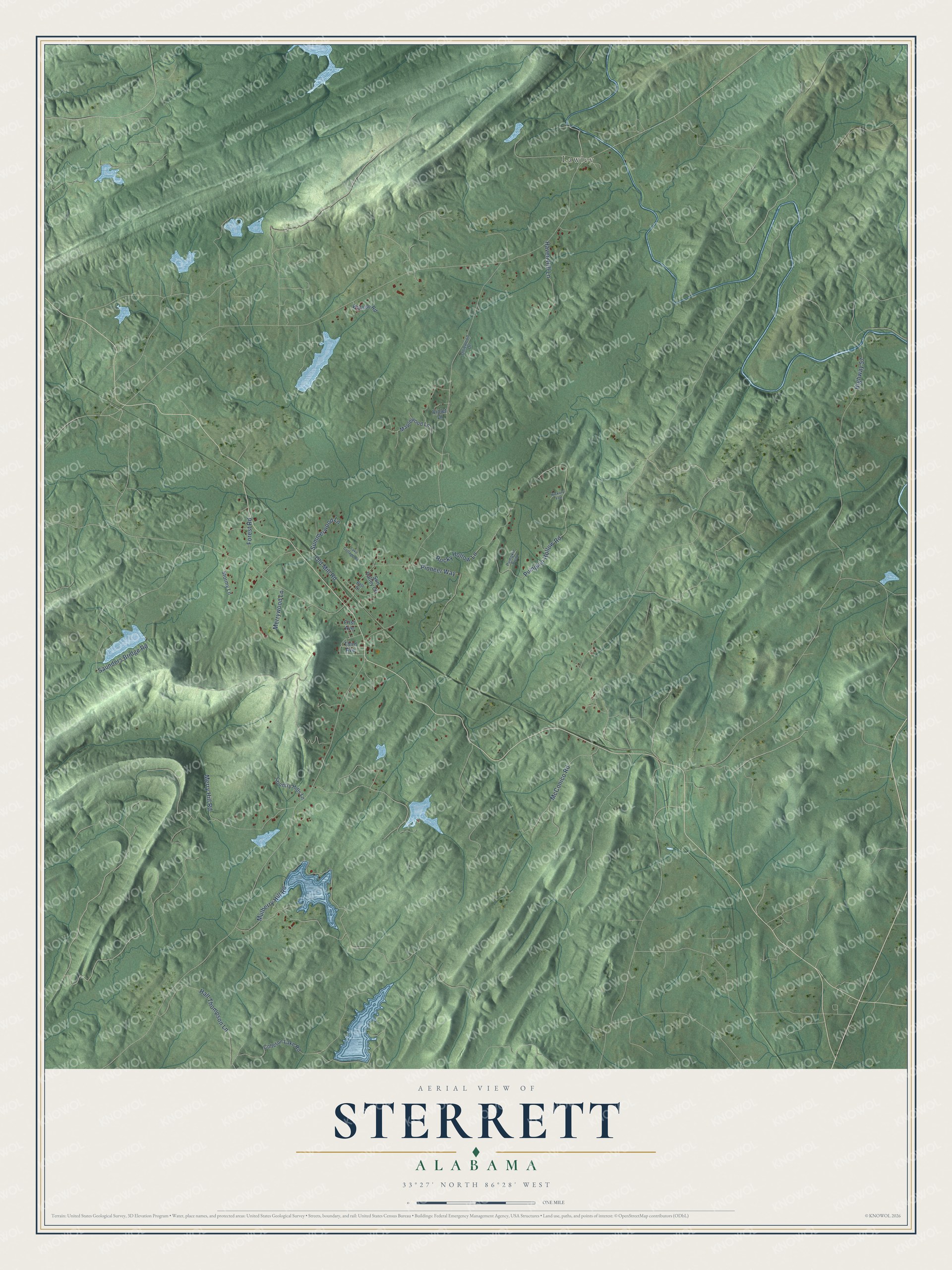
This beautifully detailed map of Sterrett, Alabama was created in 2026 using aerial imagery combined with modern topographical, census, street and landmark data. It's a modern aerial view of Sterrett in Shelby County, Alabama, that combines modern data with a vintage aesthetic. The roads feature printed names, and if you look closely you can find your exact house accurately shown in its correct location.
Explore an aerial view of Sterrett, Alabama
On this map you'll find Lawley, Mulberry Hill Road, Pumpkin Hollow Road, Pioneer Way, Hall Thompson Lane, Highway 57, Merry Hill Road, McConico Road, Rocky Hollow Lane, Haven Hill Lane, Old Mill Road, Saunders Bridge Road, and more. Each red shape is a building, so zoom in on the preview and look for yours.
Every town has a first chapter, and Sterrett is no exception. A 1932 Shelby County Reporter story called the Sterrett Pottery Works, at the foot of Tater Hill on the old Sid Lee Trail, one of the liveliest pottery works in Alabama. A mule turned the mill that ground about 300 gallons of clay a day into 80 to 100 jugs, vases, flower pots and chicken founts. F. A. Bruner had founded the works about 20 years before and ran it until A. V. Johnson took it over a few months earlier. That's from the Shelby County Reporter.
Sterrett is a community in Shelby County. The Census Bureau counted 706 people here in 2020.
Take a closer look at the Sterrett map
Names on this map
These names are printed on this map.
Places: Lawley.
Streets and roads: Mulberry Hill Road, Pumpkin Hollow Road, Pioneer Way, Hall Thompson Lane, Highway 57, Merry Hill Road, McConico Road, Rocky Hollow Lane, Haven Hill Lane, Old Mill Road, Saunders Bridge Road, Summerwood Lane.
More street names, A to Z
Bell Drive, Colleton Lake Road, Country Hills Lane, First Avenue, Forest Road, Hickory Flat, Lake Cottage Road, Maplewood Lane, Merrywood Lane, Olliewood Drive, Pumpkin Point, Stormy Lane, Sun Valley Circle, Third Avenue, Violet Drive, Watson Road.
See it on a wall
The Sterrett map as a framed print. Swipe for more.


Created by KNOWOL in 2026. The buildings are small red shapes, the roads carry their printed names, and shaded relief shows the shape of the land. The title panel reads "AERIAL VIEW OF STERRETT, ALABAMA" with 33°27' NORTH 86°28' WEST.
Hang it in the hallway, the office or the cabin, or give it to someone who left Sterrett and still calls it home. Open the preview and look for a street you know. See sizes and frames for the Sterrett map.