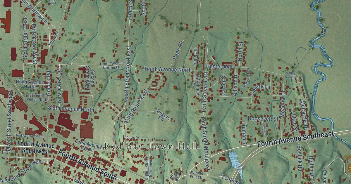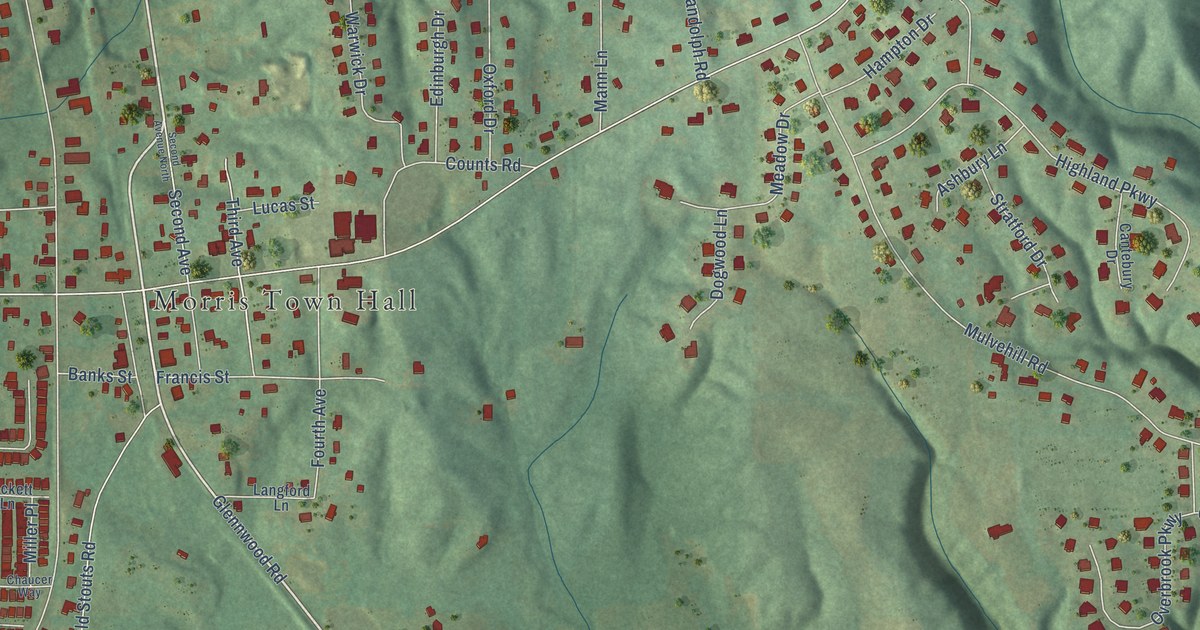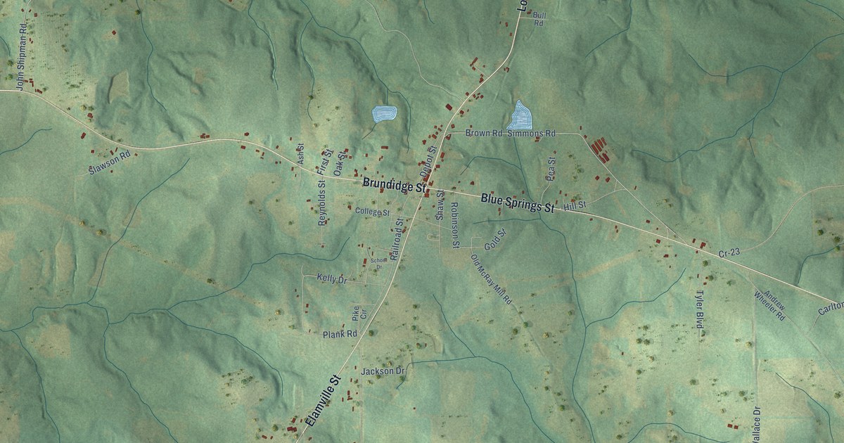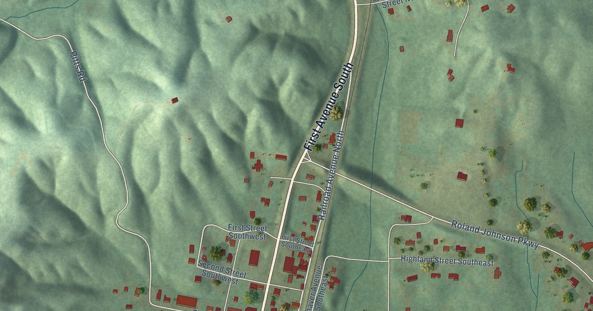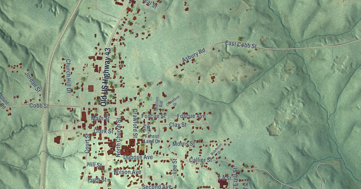
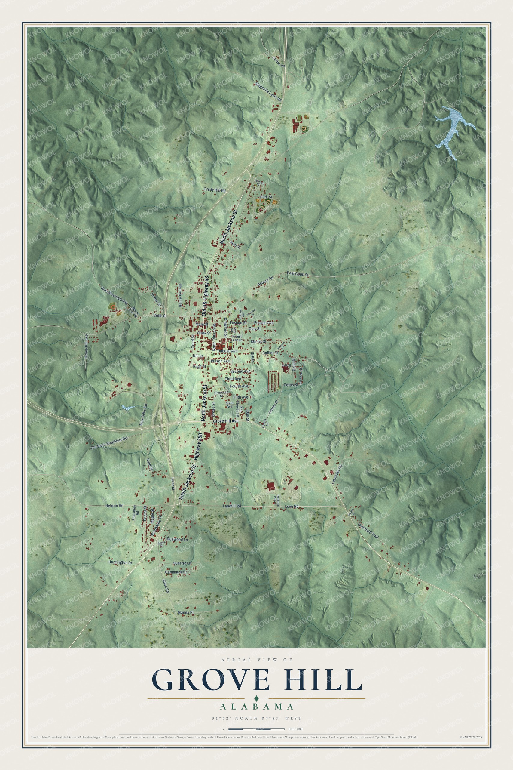
This beautifully detailed map of Grove Hill, Alabama was created in 2026 using aerial imagery combined with modern topographical, census, street and landmark data. It's a modern aerial view of Grove Hill in Clarke County, Alabama, that combines modern data with a vintage aesthetic. The roads feature printed names, and if you look closely you can find your exact house accurately shown in its correct location.
Explore an aerial view of Grove Hill, Alabama
On this map you'll find Highway 256, South Jackson Street, North Jackson Street, Old US Highway 43, Maple Street, Callier Street, Poplar Street, Brookside Lane, Hebron Road, Max Gillis Road, Carter Drive, Portis Street, and more. Each red shape is a building, so zoom in on the preview and look for yours.
Here is a piece of Grove Hill history, in the words of the record. The record at encyclopediaofalabama.org puts it this way: "The Macon Male and Female Academy was established in 1846 as the town's first school; it later became the Grove Hill Academy and still later the Grove Hill Grammar School."
Grove Hill is a town in Clarke County. The Census Bureau counted 1,818 people here in 2020.
Take a closer look at the Grove Hill map
Names on this map
These names are printed on this map.
Streets and roads: Highway 256, South Jackson Street, North Jackson Street, Old US Highway 43, Maple Street, Callier Street, Poplar Street, Brookside Lane, Hebron Road, Max Gillis Road, Carter Drive, Portis Street.
More street names, A to Z
4-H Street, Allen Road, Asbury Road, Blue Mountain Road, Broad Street, Cammack Drive, Chapman Street, Chilton Road, Church Hill Drive, Clark Street, Clay Street, Cleveland Drive, Cobb Street, Court Street, Crawford Street, Deerfield Trail, Dogwood Lane, Dubose Avenue, East Cobb Street, Ezell Street, Fifth Avenue, Forest Lane, Forest Lane Drive, Foscue Avenue, Foscue Street, Fourth Avenue, Gates Drive, Grady Hill Road, Grove Hill Avenue, Hill Street, Huntington Drive, Hurd Street, Industrial Park Drive, James Street, Jordan Street, Landfill Road, Lavender Road, Lee Street, Leonard Street, Love Road, Lynne Street, Magnolia Lawn Road, Main Street, Manna Place, Morris Street, Mount Zion Road, Neal Street, North Church Street, Oak Street, Old Saint Stephens Road, Park Street, Pine Street East, Plantation Road, Pritchett Street, Pugh Street, Robinson Drive, Sage Avenue, Second Avenue, Shelton Avenue, Sixth Avenue, Sunrise Lane, Third Avenue, Wilson Avenue.
Created by KNOWOL in 2026. The buildings are small red shapes, the roads carry their printed names, and shaded relief shows the shape of the land. The title panel reads "AERIAL VIEW OF GROVE HILL ALABAMA" with 31°42' NORTH 87°47' WEST.
It suits a den, a classroom or a front hall, and it makes a gift for anyone with Grove Hill roots. Open the preview and find the block you know. See sizes and frames for the Grove Hill map.