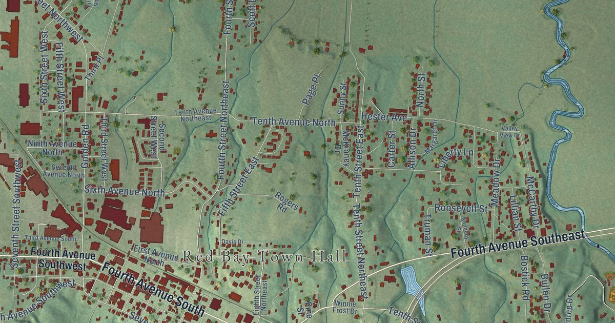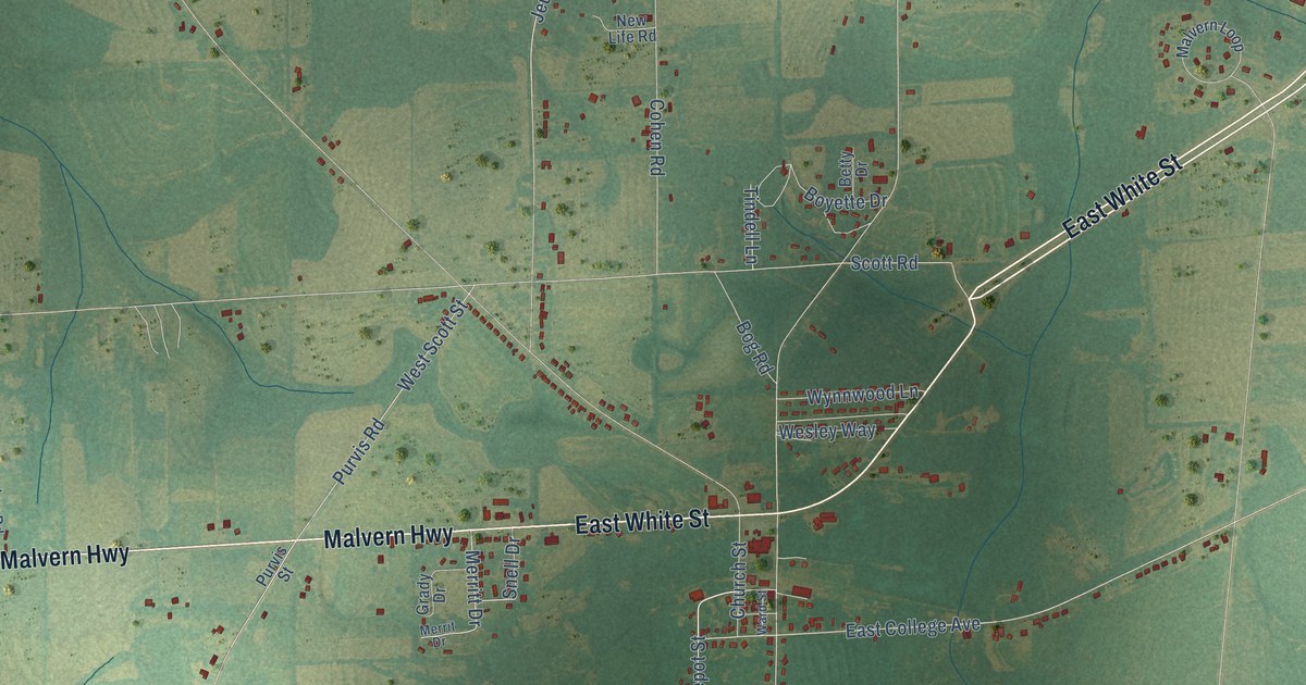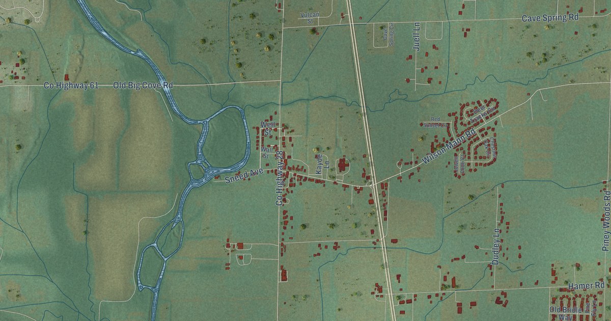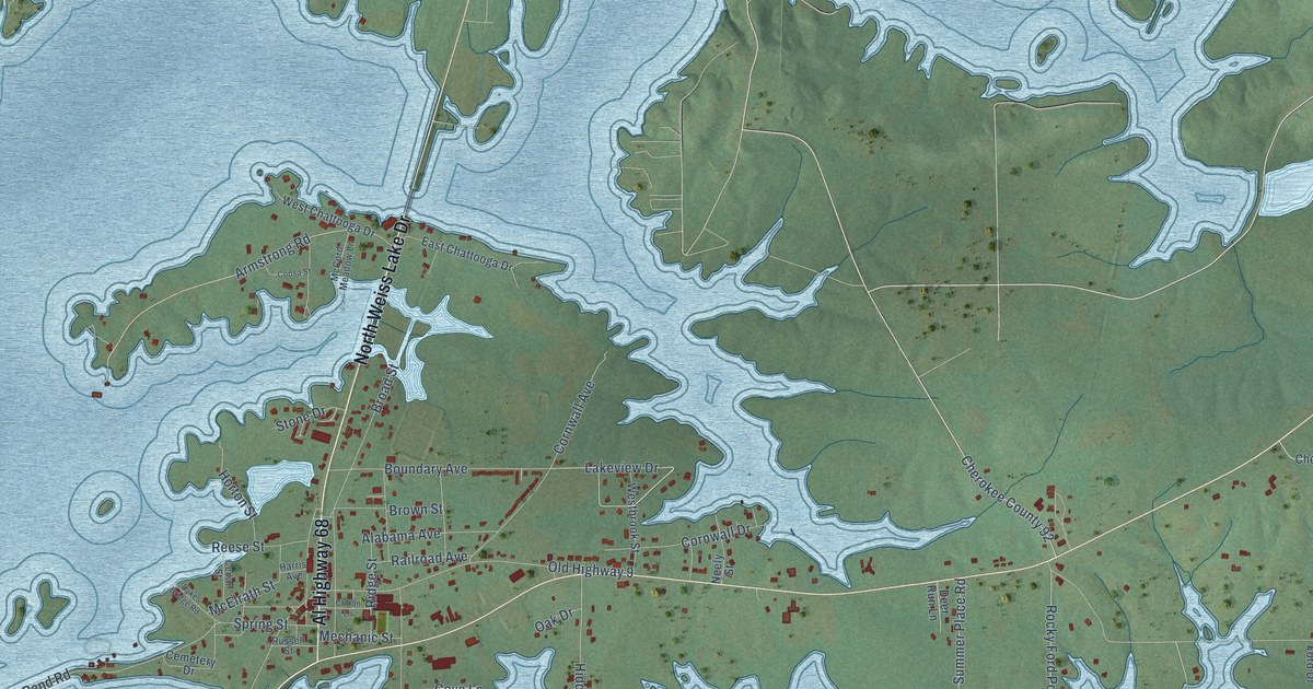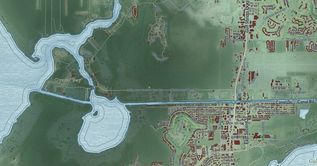
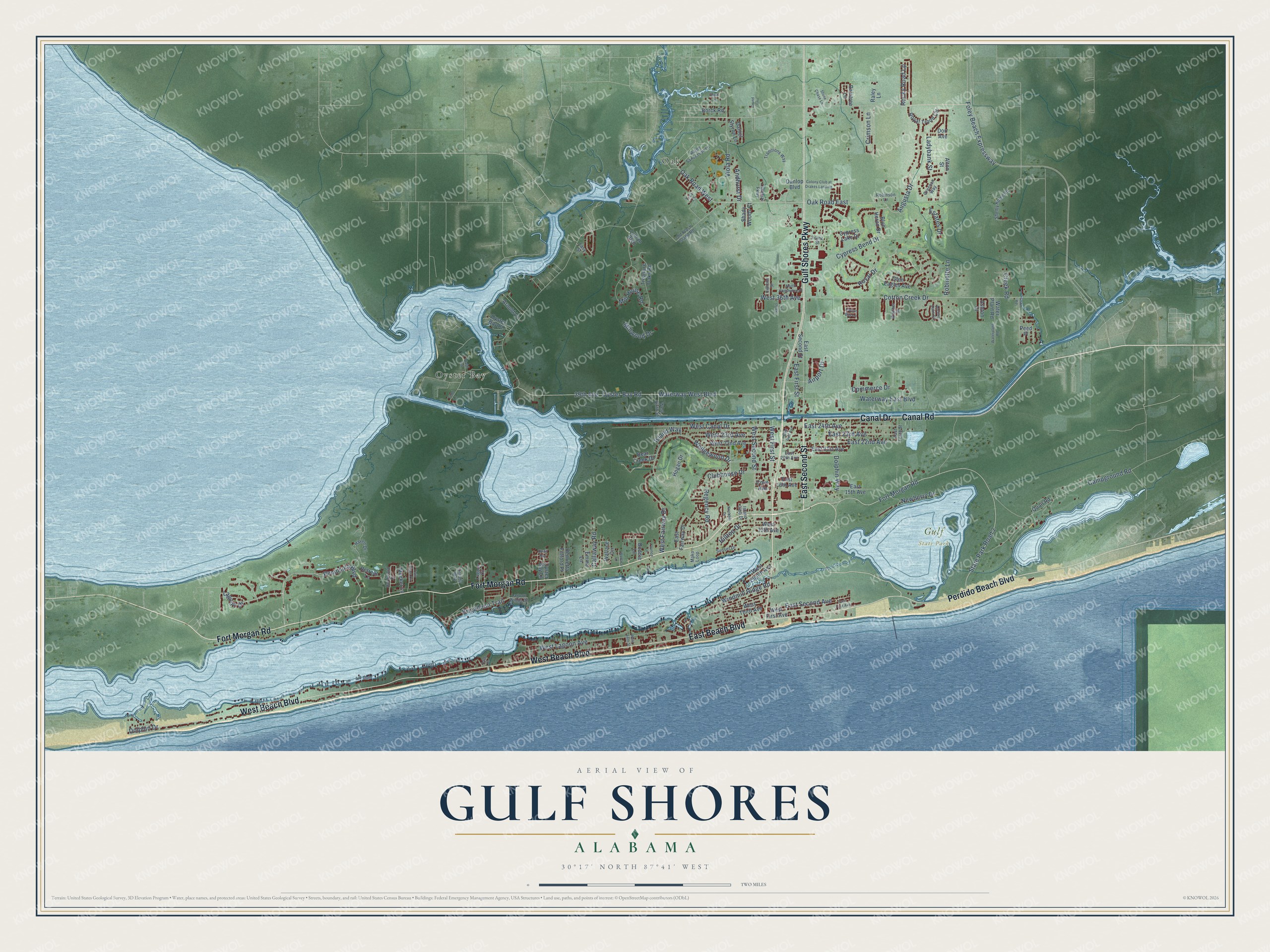
This beautifully detailed map of Gulf Shores, Alabama was created in 2026 using aerial imagery combined with modern topographical, census, street and landmark data. It's a modern aerial view of Gulf Shores in Baldwin County, Alabama, that combines modern data with a vintage aesthetic. The roads feature printed names, and if you look closely you can find your exact house accurately shown in its correct location.
Explore an aerial view of Gulf Shores, Alabama
On this map you'll find Gulf State Park, Oak, Oyster Bay, Fort Morgan Road, Canal Road, Gulf Shores Parkway, East Second Street, Canal Drive, West Beach Boulevard, East Beach Boulevard, Perdido Beach Boulevard, Augusta Drive, and more. Each red shape is a building, so zoom in on the preview and look for yours.
Every town has a first chapter, and Gulf Shores is no exception. The record at encyclopediaofalabama.org puts it this way: "Active since around 1918, shrimping had at first focused largely on providing bait to other fishing industries."
Gulf Shores is a city in Baldwin County. The Census Bureau counted 15,014 people here in 2020.
Take a closer look at the Gulf Shores map
Names on this map
These names are printed on this map.
Places: Gulf State Park, Oak and Oyster Bay.
Streets and roads: Fort Morgan Road, Canal Road, Gulf Shores Parkway, East Second Street, Canal Drive, West Beach Boulevard, East Beach Boulevard, Perdido Beach Boulevard, Augusta Drive, Peninsula Boulevard, Oak Road West, Oyster Bay Road.
More street names, A to Z
29th Avenue, Airport Drive, Alton Street, Ancient Oaks Circle, Andhurst Drive, Arnold Lane, Ashton Court, Bear Creek Drive, Blue Heron Drive, Boddie Lane, Borck Road, Brigadoon Trail, Callaway Road, Campground Road, Clubhouse Drive, Colonial Parkway, Colony Club at Drakes Landing, Commerce Drive, Cotton Bay Lane, Cotton Creek Drive, Cove Avenue, Creek Road, Crimson Lane, Cypress Bend Drive, Cypress Lake Drive, Daniel Styron Lane, Dolphin Drive, Dolphin Way, Dorado Way, Dorr Avenue, Dunlop Boulevard, East 15th Avenue, East 16th Avenue, East 20th Avenue, East 21st Avenue, East 22nd Avenue, East 23rd Avenue, East 24th Avenue, East Fairway Drive, East First Avenue, East First Street, East Gulf Avenue, East Second Avenue, East Tenth Street, Easy Street, Emma Lane, Estates Drive, Foley Beach Expressway, Franz Street, Garris Lane, Geno Road, Glen Eagles Avenue, Greenan Way, Grund Lane, Hardwood Drive, Haven Drive, Henrietta Fulford Place, Highland Street, Hilltop Drive, Hogan Drive, Island Club Drive, Island Way, Knobhill Drive, Ladybank Street, Lagoon Circle, Lagoon Drive, Lagoon Winds Drive, Lyman Boulevard, Mako Loop, Meeker Lane, Mill House Road, Millwood Drive, Newberry Drive, North Commerce Place, Oak Road East, Old Plash Island Road, Oyster Bay Lane, Oyster Bay Place, Pass Drive, Peed Place, Plash Road, Quail Road, Quail Run, Raintree Lane, Raley Lane, Ralph Sanderson Lane, Regency Road, Retreat Lane, Robinette Lane, Robinson Lane, Rocky Road Lp, Royal Drive, Royal Troon Circle, Shady Woods Court, Shelby Home Road, State Park Road 2, Stone Chase Lane, Stout Lane, Sunset Drive, Todd Lane, Traditions Way, Treasure Oaks Road, Trey Lane, Twin Pines Circle, Viola Road, Wallace Circle, Wallace Lane, Walther Drive, Water Plant Road, Waterplant Road, Waterway East Boulevard, Waterway West Boulevard, Wedgewood Drive, West 13th Avenue, West 22nd Avenue, West 23rd Avenue, West 36th Avenue, West Canal Drive, West Eighth Avenue, West Fairway Drive, West First Avenue, West First Street, West Lagoon Avenue, West Second Street, West Sixth Street, West Tenth Street, West Third Avenue, Windmill Ridge Road, Younce Lane.
Created by KNOWOL in 2026. The buildings are small red shapes, the roads carry their printed names, and shaded relief shows the shape of the land. The title panel reads "AERIAL VIEW OF GULF SHORES ALABAMA" with 30°17' NORTH 87°41' WEST.
Hang it in the hallway, the office or the cabin, or give it to someone who left Gulf Shores and still calls it home. Open the preview and look for a street you know. See sizes and frames for the Gulf Shores map.