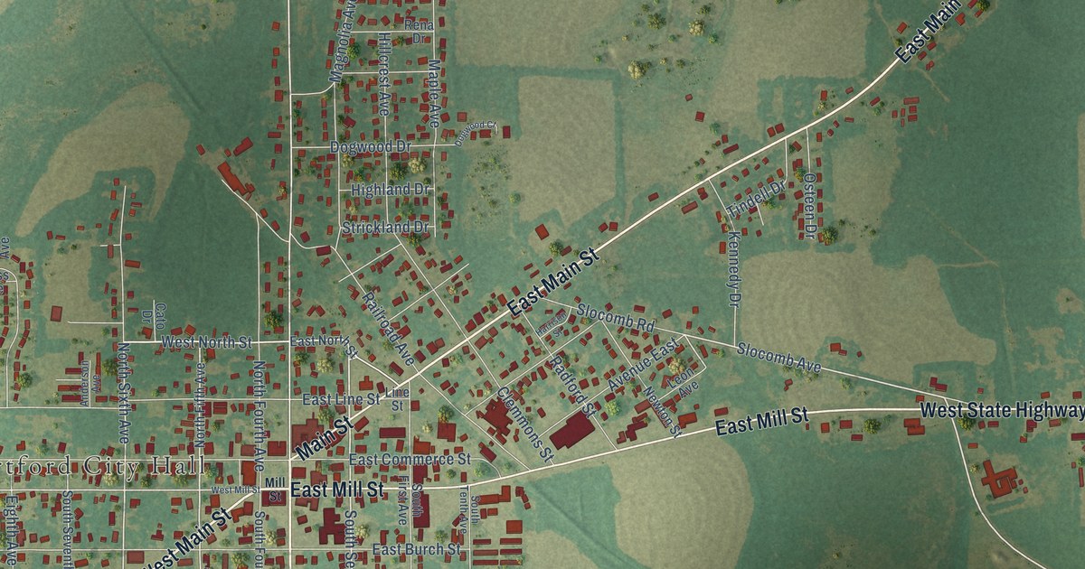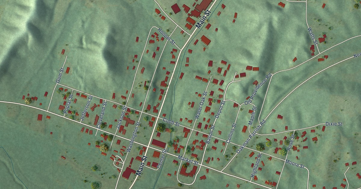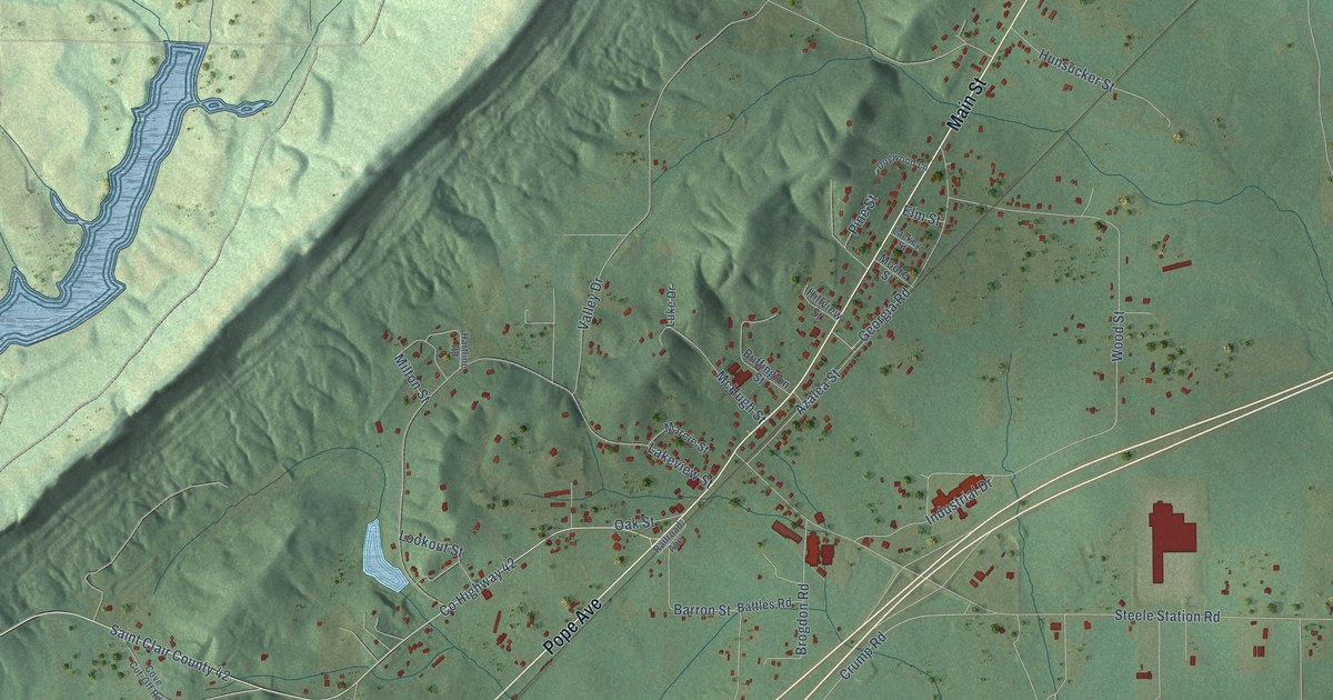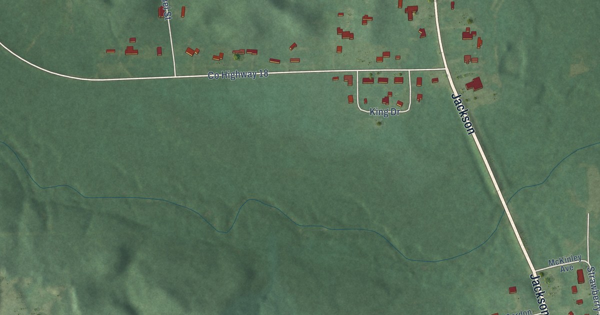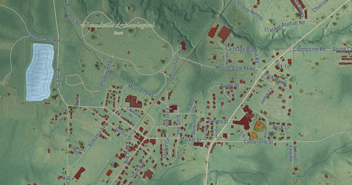
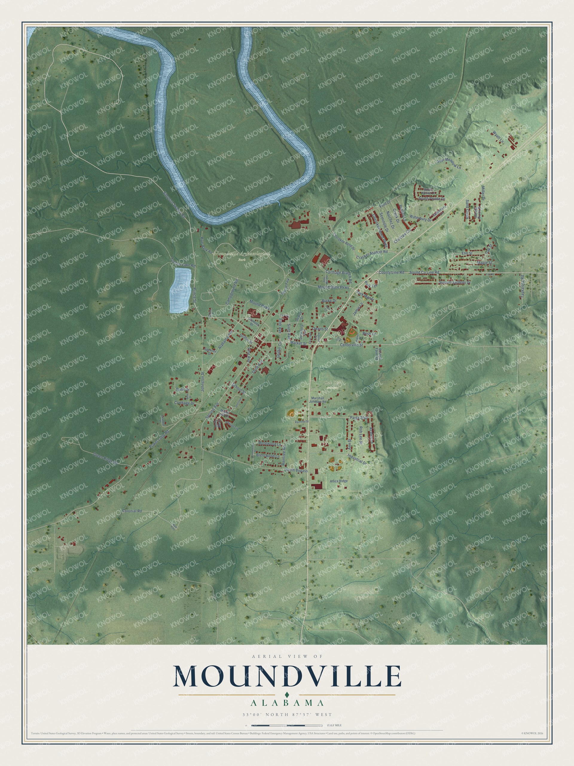
This beautifully detailed map of Moundville, Alabama was created in 2026 using aerial imagery combined with modern topographical, census, street and landmark data. It's a modern aerial view of Moundville in Hale County, Alabama, that combines modern data with a vintage aesthetic. The roads feature printed names, and if you look closely you can find your exact house accurately shown in its correct location.
Explore an aerial view of Moundville, Alabama
On this map you'll find Moundville Archaeological Park, Howell Field, Oak Hill Cemetery, Market Street, Simpson Swamp Road, Prince Street, Second Avenue, Centerville Street, Alabama Avenue, Carthage Branch Road, County Line Road, Mound State Parkway, and more. Each red shape is a building, so zoom in on the preview and look for yours.
Every town has a first chapter, and Moundville is no exception. The record at encyclopediaofalabama.org puts it this way: "Griffin bought 600 acres nearby and laid out a new town, which was named Moundville after the large Indian mounds that lay within the town limits."
Moundville is a town in Hale County. The Census Bureau counted 3,024 people here in 2020.
Take a closer look at the Moundville map
Names on this map
These names are printed on this map.
Places: Moundville Archaeological Park, Howell Field, Oak Hill Cemetery and Mound Park.
Streets and roads: Market Street, Simpson Swamp Road, Prince Street, Second Avenue, Centerville Street, Alabama Avenue, Carthage Branch Road, County Line Road, Mound State Parkway, Cracker Asphalt Road, Sixth Avenue, Industrial Drive.
More street names, A to Z
Aloca Ridge, Ann Street, Azalea Lane, Bank Alley, Bank Drive, Beck Lane, Boshell Farm Road, Brentwood Lane, Burke Drive, Campground Road, Chandler Drive, Cherokee Bend Drive, Cherokee Bend Parkway, Choctaw Circle, Clamont Drive, College Street, Colonial Road, Corthage Drive, Creek Drive, Davis Circle, Deer Meadow Lane, Dormitory Avenue, Elliot Avenue, Elm Street, Fifth Avenue, First Avenue, Flint Drive, Green Ridge Road, Griffin Circle, Griffin Street, Gym Road, Highland Avenue, Holly Berry, Jamestown, Jamie Lane, Johnston Street, Maple Leaf Lane, Maple Street, Marshall Johnson Road, McCray Place, Miller Drive, Mound Parkway, Natchez Drive, Oak Street, Owens Street, Paige Boulevard, Park Manor, Park Terrace, Peyton Lane, Poole Drive, Pottery Lane, Power Loop Road, Raintree Road, Raintree Street, River Bank Road, Rob Lee Street, Rosewood Lane, Sand Creek, Saw Mill Road, School Street, Searcy Street, Seminole Drive, Shadowwood Street, Sound County Line Road, South Bypass, South Pointe Drive, South Pointe Lane, Spencer Street, Sumner Brook Drive, Sunset Gardens Drive, Taskalosa Road, Third Avenue, Tooson Lake Road, Walnut Drive, Waterbury Drive, Waterbury Lane, Wyatt Lane.
Created by KNOWOL in 2026. The buildings are small red shapes, the roads carry their printed names, and shaded relief shows the shape of the land. The title panel reads "AERIAL VIEW OF MOUNDVILLE ALABAMA" with 33°00' NORTH 87°37' WEST.
Hang it in the hallway, the office or the cabin, or give it to someone who left Moundville and still calls it home. Open the preview and look for a street you know. See sizes and frames for the Moundville map.