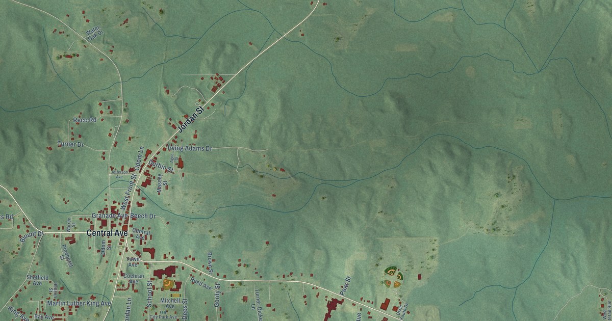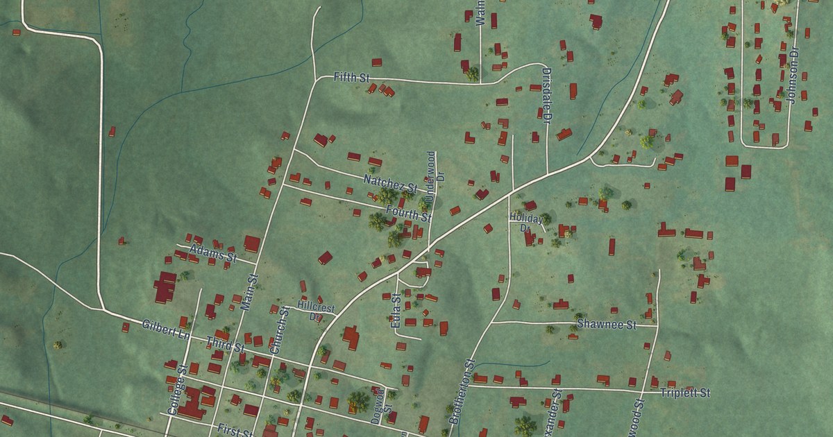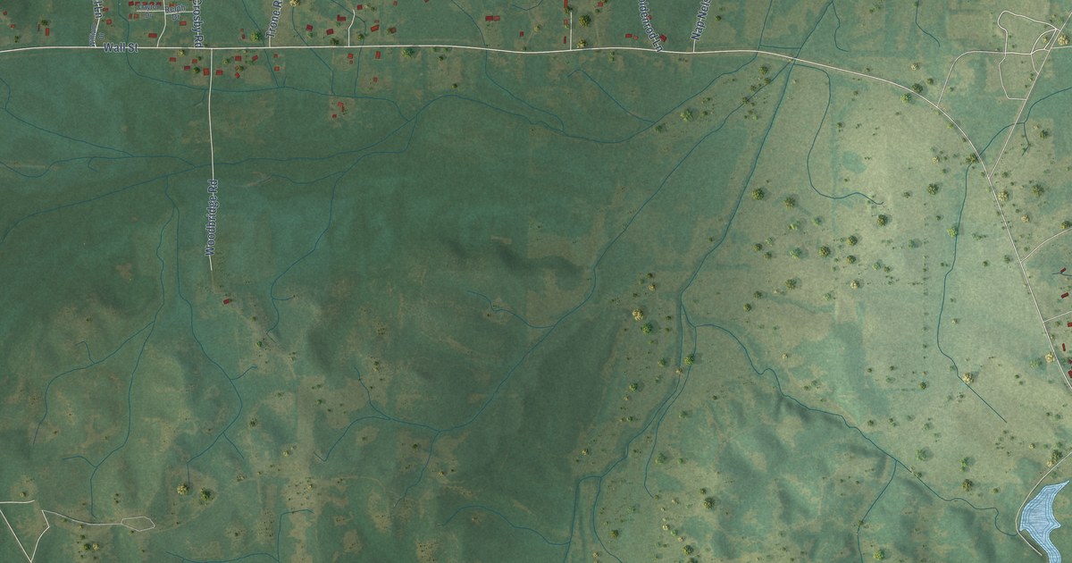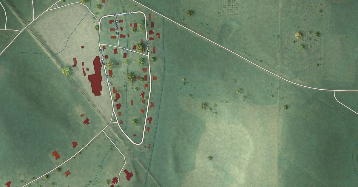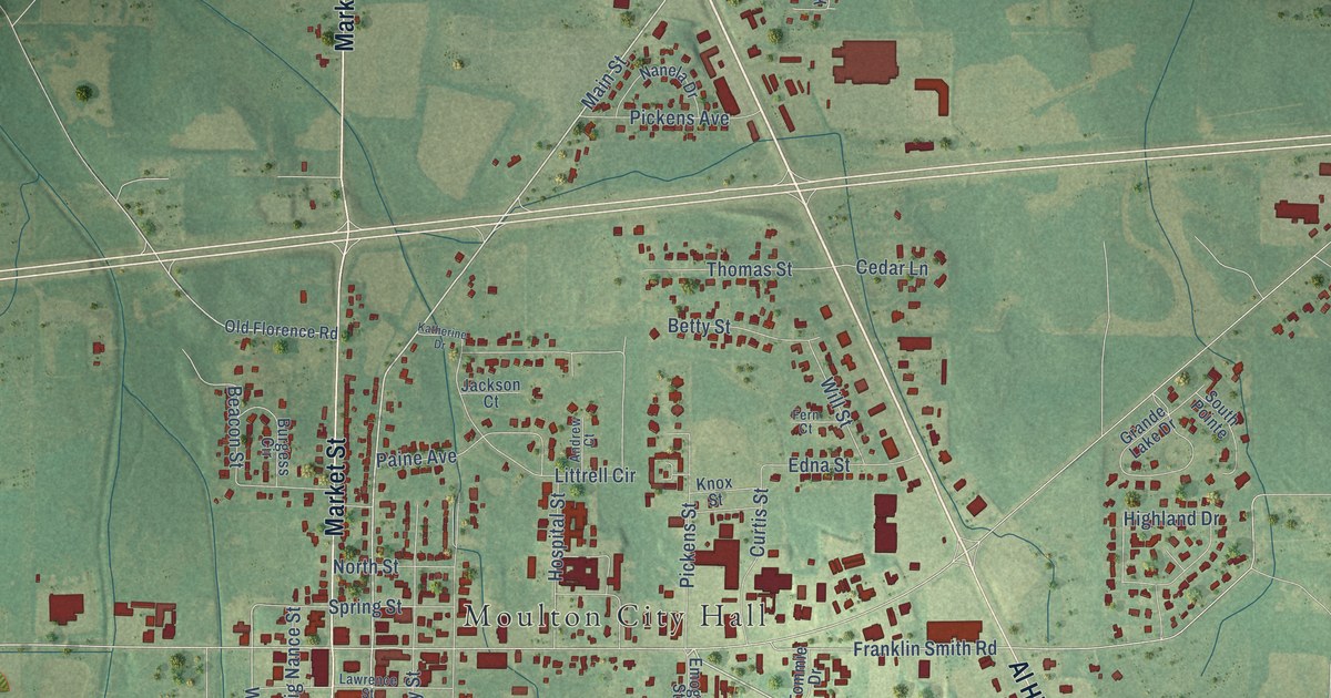
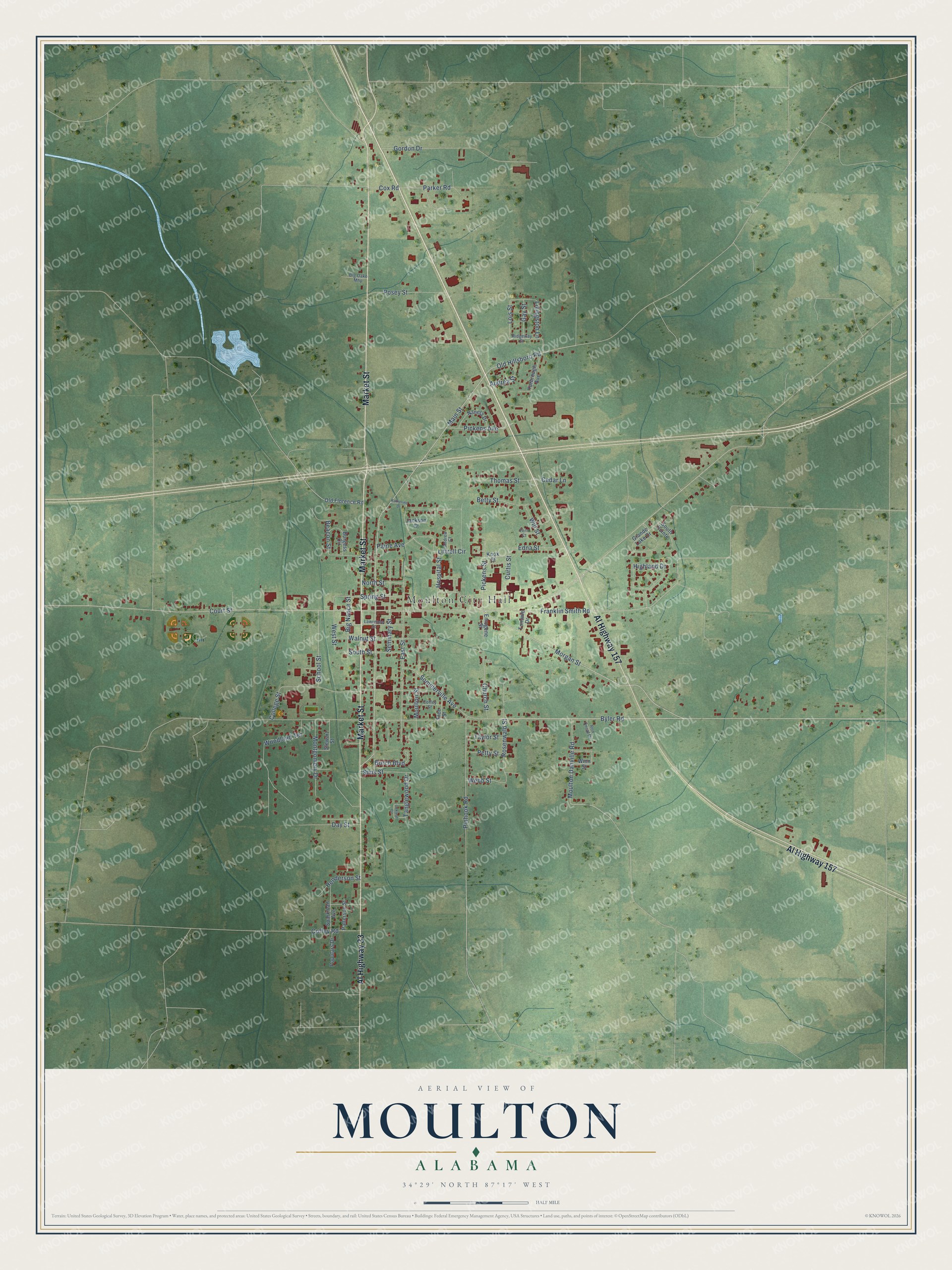
This beautifully detailed map of Moulton, Alabama was created in 2026 using aerial imagery combined with modern topographical, census, street and landmark data. It's a modern aerial view of Moulton in Lawrence County, Alabama, that combines modern data with a vintage aesthetic. The roads feature printed names, and if you look closely you can find your exact house accurately shown in its correct location.
Explore an aerial view of Moulton, Alabama
On this map you'll find Moulton City Hall, Market Street, Al Highway 157, Al Highway 33, Morgan Street, Main Street, Old Hillsboro Road, Parker Road, Lois Street, West Street, Court Street, Byler Road, and more. Each red shape is a building, so zoom in on the preview and look for yours.
Here is a piece of Moulton history, in the words of the record. The record at encyclopediaofalabama.org puts it this way: "After Alabama became a state, both the settlement of Moulton and the town of Courtland incorporated and began vying for selection as the county seat."
Moulton is a city in Lawrence County. The Census Bureau counted 3,398 people here in 2020.
Take a closer look at the Moulton map
Names on this map
These names are printed on this map.
Places: Moulton City Hall.
Streets and roads: Market Street, Al Highway 157, Al Highway 33, Morgan Street, Main Street, Old Hillsboro Road, Parker Road, Lois Street, West Street, Court Street, Byler Road, Franklin Smith Road.
More street names, A to Z
Andrew Court, Audrea Street, Beacon Street, Betty Street, Big Nance Street, Big Oake Mhp, Burch Boulevard, Burgess Circle, Cedar Lane, Church Street, Coffey Road, Coffey Street, College Street, Cox Road, Curtis Street, Day Street, East Street, Edna Street, Emogene Street, Fern Court, Free Street, Gay Street, Gordon Drive, Grande Lake Drive, Henderson Street, Highland Drive, Hospital Street, Jackson Court, Katherine Drive, Knox Street, Lawrence Street, Littrell Circle, Livingston Lane, Montgomery Drive, Moulton Danville Road, Moulton Street, Nanela Drive, North Street, Oakleaf Circle, Old Florence Road, Paine Avenue, Patterson Street, Petty Street, Pickens Avenue, Pickens Street, Pinhook Road, Populars Drive, Posey Street, Ridgeway Drive, Ron Oncal Drive, Rosenwald Street, School Street, Seminary Street, Sims Street, Sommerville Avenue, South Pointe, South Street, Sparkman Avenue, Spring Street, Stewart Street, Tanglewood Drive, Taylor Street, Thomas Street, Tommie Drive, Walnut Street, Webb Street, Will Street, Winn Street, Woodland Terrace, Yarbrough Avenue.
Created by KNOWOL in 2026. The buildings are small red shapes, the roads carry their printed names, and shaded relief shows the shape of the land. The title panel reads "AERIAL VIEW OF MOULTON ALABAMA" with 34°29' NORTH 87°17' WEST.
It suits a den, a classroom or a front hall, and it makes a gift for anyone with Moulton roots. Open the preview and find the block you know. See sizes and frames for the Moulton map.