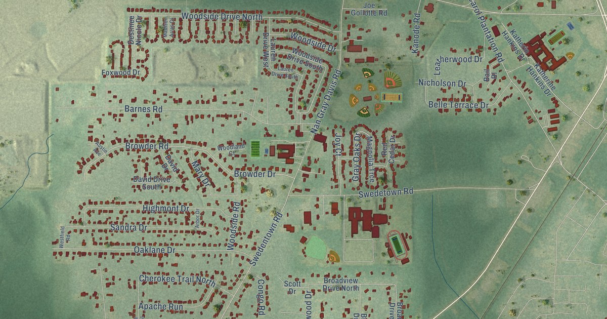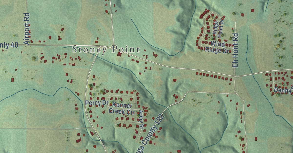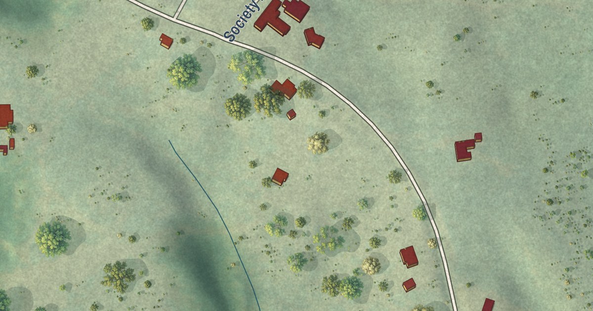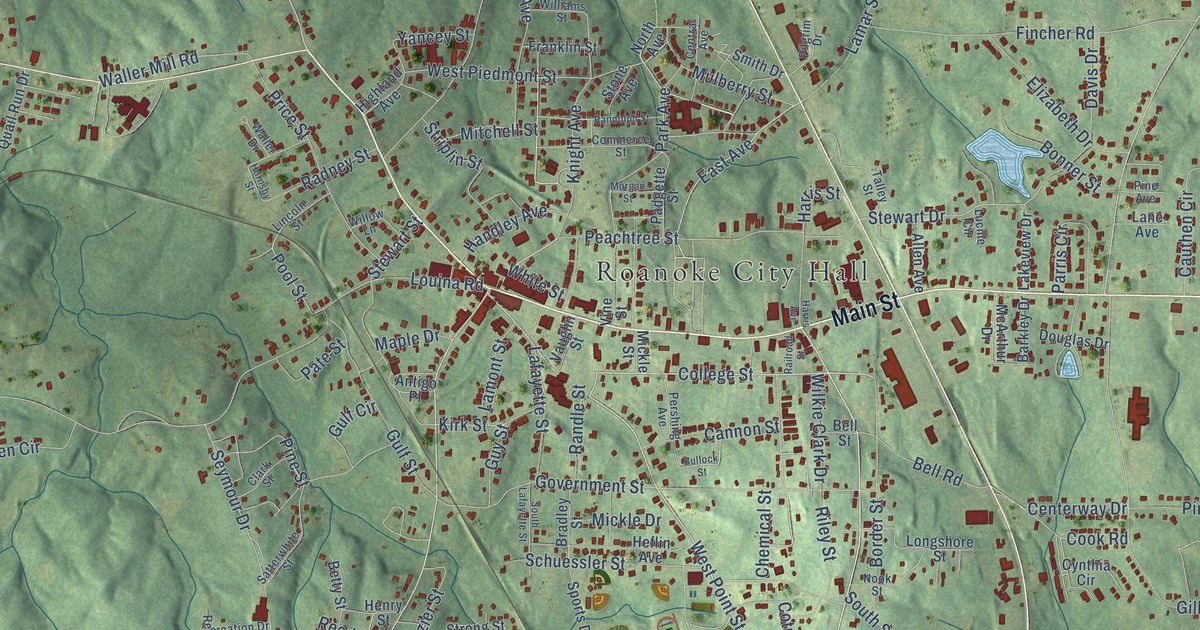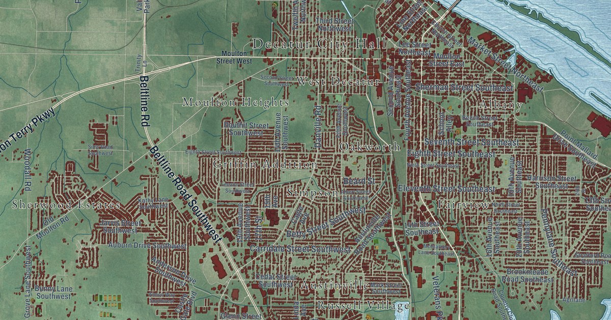
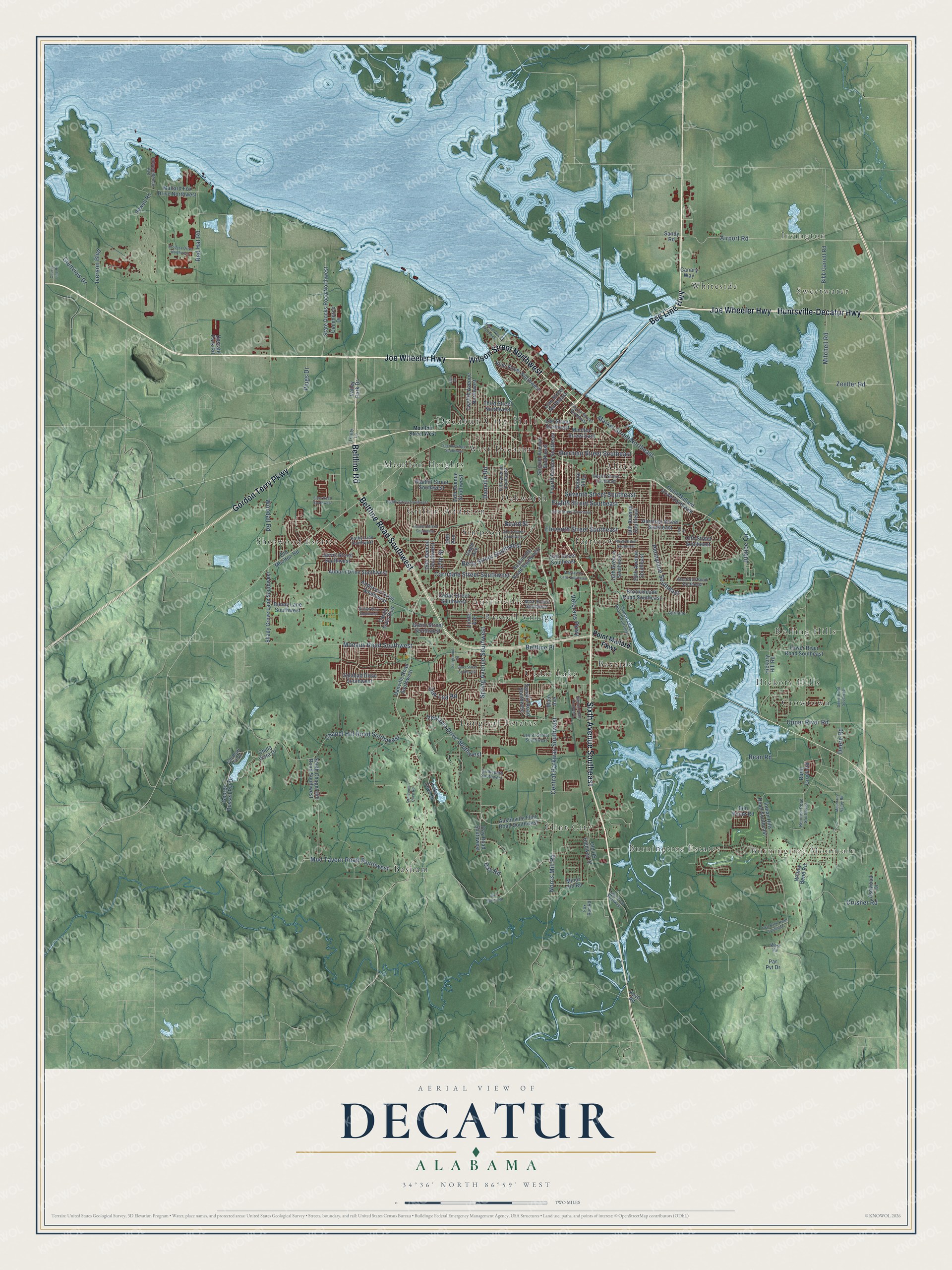
This beautifully detailed map of Decatur, Alabama was created in 2026 using aerial imagery combined with modern topographical, census, street and landmark data. It’s a one-of-a-kind view of Decatur that combines accurate data with a vintage aesthetic. The map shows every building in its true location, many of the roads carry their names, and the shaded topographic relief shows the shape of the land.
Explore an aerial view of Decatur, Alabama
On the map you’ll find Decatur City Hall, Burningtree Mountain, Sweetwater, Irvington, Albany, Austinville, Basham, Bayside, Burningtree Estates, Cedar Lake, Crowtown, Fairview, and more. If you look closely you can even find your house accurately drawn in its correct location. Zoom in on the preview to look for yours.
Did you know this piece of Decatur, Alabama history?
From Encyclopediaofalabama.org: "In 1836, Decatur became the eastern boundary of the first railroad line west of the Appalachian Mountains."
Take a closer look at the Decatur map
Street and place names on the Decatur, Alabama map
These names are printed on the map of Decatur, Alabama.
Places: Decatur City Hall, Burningtree Mountain, Sweetwater, Irvington, Albany, Austinville, Basham, Bayside, Burningtree Estates, Cedar Lake, Crowtown, Fairview, Flint City, Griffin Addition, Hickory Hills, Longleaf Estates, Moulton Heights, Oakworth, Rolling Hills, Russell Village, Sherwood Estates, Simpson, West Decatur and Whiteside.
Streets and roads: Bee Line Highway, Joe Wheeler Highway, Sixth Avenue Southeast, Wilson Street Northwest, Gordon Terry Parkway, Beltline Road Southwest, Huntsville-Decatur Highway, Beltline Road, Central Parkway Southwest, Danville Road, Spring Avenue Southwest, Eighth Street Southeast.
More street names, A to Z
13th Street Southeast, 14th Avenue Southwest, 14th Street Southeast, 15th Avenue, 15th Place, 16th Avenue Southeast, 17th Street, 19th Avenue Southeast, 19th Avenue Southwest, 20th Avenue Southeast, 24th Street, Agrilane, Airport Road, Albert Street Southwest, Almon Way Southwest, Anderson Drive Southwest, Ashwood Drive, Auburn Drive Southwest, Austinville Flint Road Southwest, Austinville Road Southwest, Bean Road, Beard Street, Beech Street Southeast, Beltline Place, Bennich Road Southeast, Ben Poole Road, Betty Street Southwest, Bibb Garrett Road, Bird Spring Road, Bridlepath Southwest, Brookmeade Road Southeast, Bunny Lane Southwest, Cagle Avenue, Canary Way, Carridale Street Southwest, Castle Gate Boulevard, Cedar Street Southwest, Chapel Hill Road Southwest, Chula Vista Drive, Church Street Northeast, Commerce Drive, Country Club Road Southeast, County Line Road, Crusher Road, Danville Road Southwest, Day Road, Day Road Southwest, Deere Road, Deere Road Southeast, Douthit Street Southwest, Eighth Street Southwest, Eleventh Street Southeast, Fairground Road, Fall Bluff Pvt Drive, Fifth Avenue Southwest, Fourth Avenue Southeast, Fox Run Road, Galahad Drive Southwest, George Russell Pvt Drive, Glenn Street Southwest, Glenview Drive, Harrison Street Southeast, Hickory Hill Road, Independence Avenue, Indian Hills Road Southeast, Island Way Northwest, Iverson Boulevard, Jarvis Street Southwest, Jubilee Circle, Kathy Lane Southwest, Kayo Road, Lake Cove Drive, Laurel Street Southwest, Leeann Street Southwest, Lee Street Northeast, Linda Avenue, Line Street Northeast, Lower River Road Southeast, Luker Road Southwest, Main Avenue, Mallard Fox Drive Northwest, Market Street Northeast, Mark Street Southwest, McGlathery Lane Southeast, Minor Hill Road, Mitchell Road, Modaus Road Southwest, Moulton Street East, Moulton Street West, Mountain Valley Road, Mud Tavern Road Southwest, Ninth Street Southeast, Norris Mill Road, North Street Southeast, Oak Lea Road, Old Moulton Road, Old US Highway 31, Par Pvt Drive, Pennylane Southeast, Plugs Drive, Point Mallard Drive Southeast, Point Mallard Parkway, Process Drive Northwest, Red Bank Road Southeast, Red Hat Road, Rural Grove Road, Sandlin Road Southwest, Sandy Road, San Souci Cave Road, School Alley, Second Avenue Southeast, Second Street Southwest, Seventh Street Southeast, Sewell Road, Sexton Road Southeast, Shady Grove Lane Southwest, Sherman Street Southeast, Sims Road Southwest, Sims Street Southwest, South Chapel Hill Road Southwest, State Docks Road Northwest, Stratford Road Southeast, Third Street Northwest, Trinity Lane, Twelfth Avenue Northwest, Upper River Road, Upstate Park Road, Valley Park Drive, Vestavia Drive Southwest, Veterans Parkway, Vine Street Northwest, West Vw, Willow Bend Road, Woodall Road, Zeetler Road.
See the Decatur, Alabama map on a wall
The Decatur map as an 18 x 24 inch print in a black frame.

This beautifully detailed map of Decatur makes an attractive addition to your office, library, or den, and it can even be used to teach children the geography and history of the area. It also makes a great gift for anyone with Decatur roots. When you’re done exploring, click here to get your copy of the Decatur map.