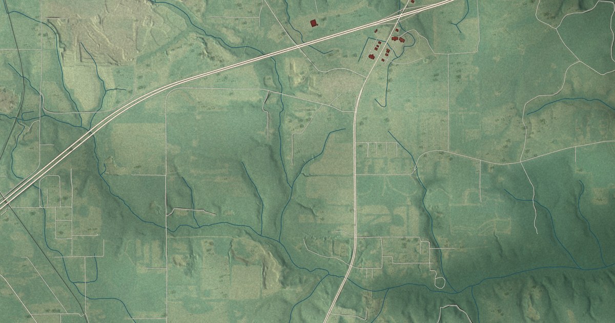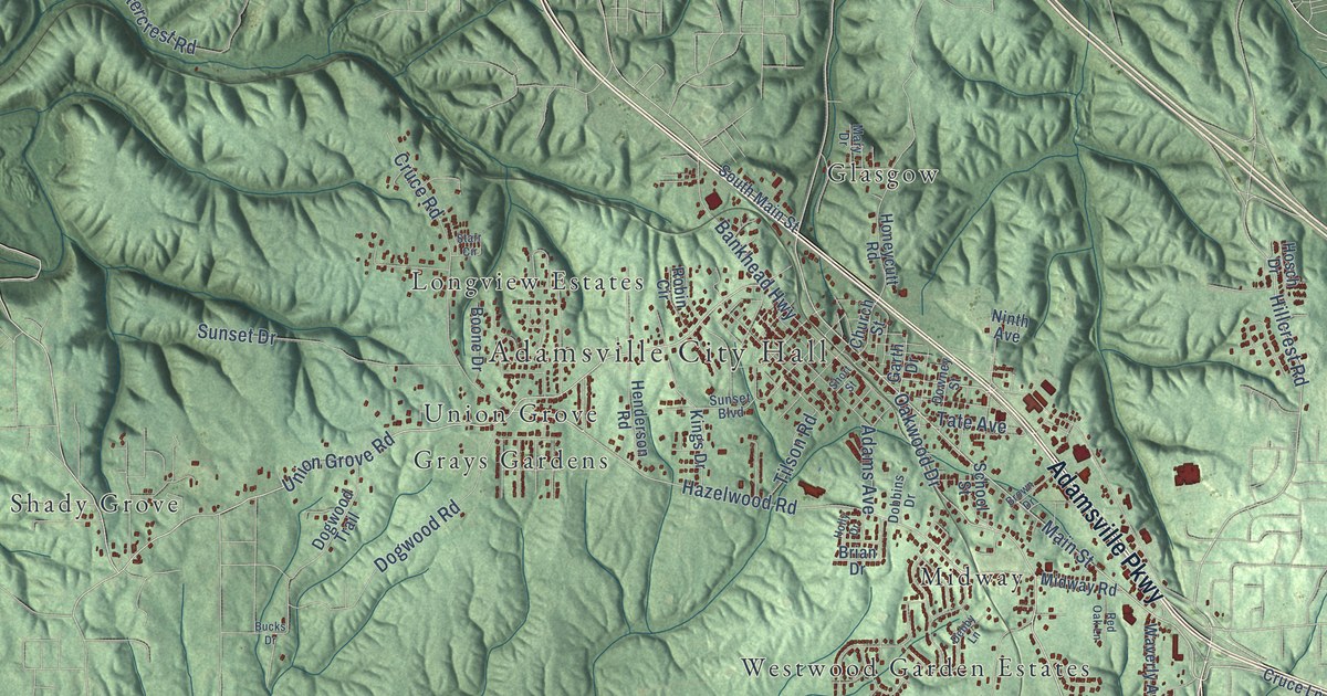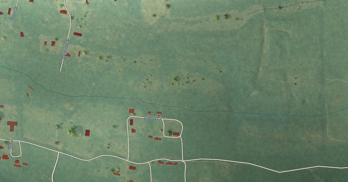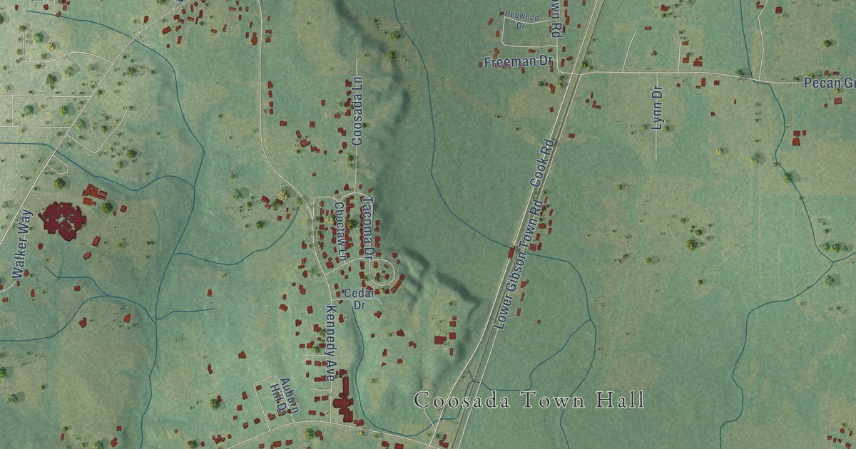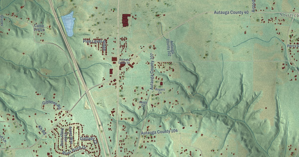
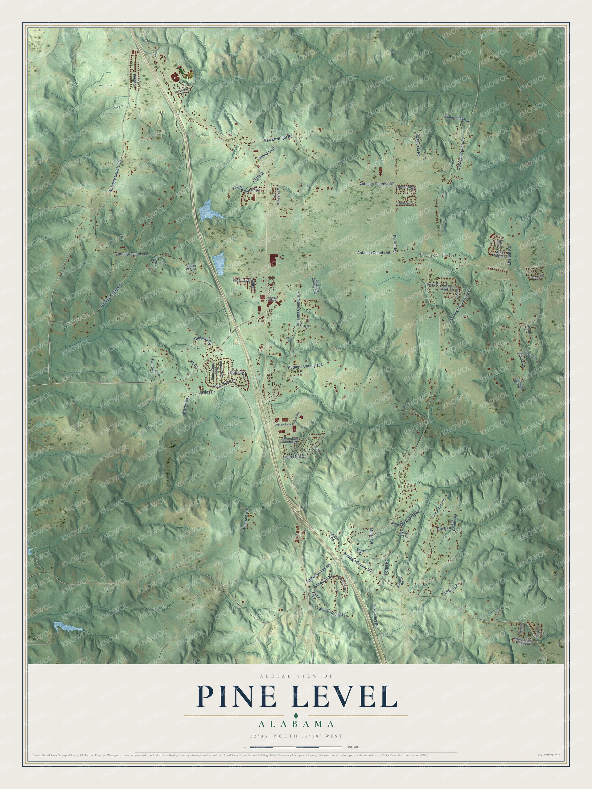
This beautifully detailed map of Pine Level, Alabama was created in 2026 using aerial imagery combined with modern topographical, census, street and landmark data. It's a modern aerial view of Pine Level in , Alabama, that combines modern data with a vintage aesthetic. The roads feature printed names, and if you look closely you can find your exact house accurately shown in its correct location.
Explore an aerial view of Pine Level, Alabama
On this map you'll find Stoney Point, Autauga County 40, Autauga County 59, Autauga County 39, Alpha Springs Road, Autauga County 61, Autauga County 85, Autauga County 66, Alpine Drive, Autauga County 104, Davies Drive, Airport Road, and more. Each red shape is a building, so zoom in on the preview and look for yours.
Here is a piece of Pine Level history, in the words of the record. The Town of Pine Level puts it this way: "Pine Level officially became a town in December 2023, following a community driven referendum in which residents voted to incorporate. The town's first mayor, Zachary Bigley, and five at-large council members were sworn in on December 11, 2023." The Pine Level Volunteer Fire Department dates from 1972.
The Census Bureau counted 4,885 people here in 2020.
Take a closer look at the Pine Level map
Names on this map
These names are printed on this map.
Places: Stoney Point.
Streets and roads: Autauga County 40, Autauga County 59, Autauga County 39, Alpha Springs Road, Autauga County 61, Autauga County 85, Autauga County 66, Alpine Drive, Autauga County 104, Davies Drive, Airport Road, Autauga County 100.
More street names, A to Z
Alpine Lane, Animal Acres Drive, Aspen Way, Autauga County 87, Autauga County 92, Autauga County 102, Autauga County 107, Autauga County 122, Avery Street, Ball Enwright Road, Beaumont Drive, Blythe Lane, Carrie Lee Lane, Cedar Ridge Loop, Daffadil Court, Davies Road, Denny Drive, Dove Lane, Dusty Trail, Eh Hunt Road, Forge Road, Formosa Court, Fox Ridge Drive, Gibbons Road, Givens Court, Hamn's Way, Henry Circle, Hidden Hills Road, Hills & Hollows Lane, Honeysuckle Ridge Drive, Hummingbird Drive, Ingram Lane, Jessee Samuel Hunt Boulevard, Kenner Creek Circle, Kh Road, Kinling Ridge Road, Lambert Lane, Landcaster Drive, Laurel Hill Drive, Martin Drive, Mountain Laurel Road, Nummy Road, Oak Valley Road, Ole Country Road, Pearson Road, Percy Drive, Pine Level Ridge, Pinetuckett Parkway, Ponderosa Road, Ridge Point Drive, River Birch Drive, Rogers Lane, Runway Drive, Seth Drive, Shangri la Road, Snowdrift Road, Timber Trail, Tower Drive, Waterstone Drive, White Cloud Drive, Wind Ridge Drive, Wood Leaf.
See it on a wall
The Pine Level map as a framed print. Swipe for more.


Created by KNOWOL in 2026. The buildings are small red shapes, the roads carry their printed names, and shaded relief shows the shape of the land. The title panel reads "AERIAL VIEW OF PINE LEVEL, ALABAMA" with 32°35' NORTH 86°28' WEST.
It suits a den, a classroom or a front hall, and it makes a gift for anyone with Pine Level roots. Open the preview and find the block you know. See sizes and frames for the Pine Level map.