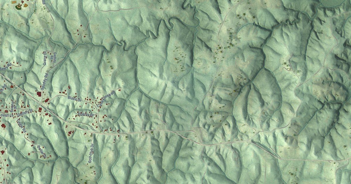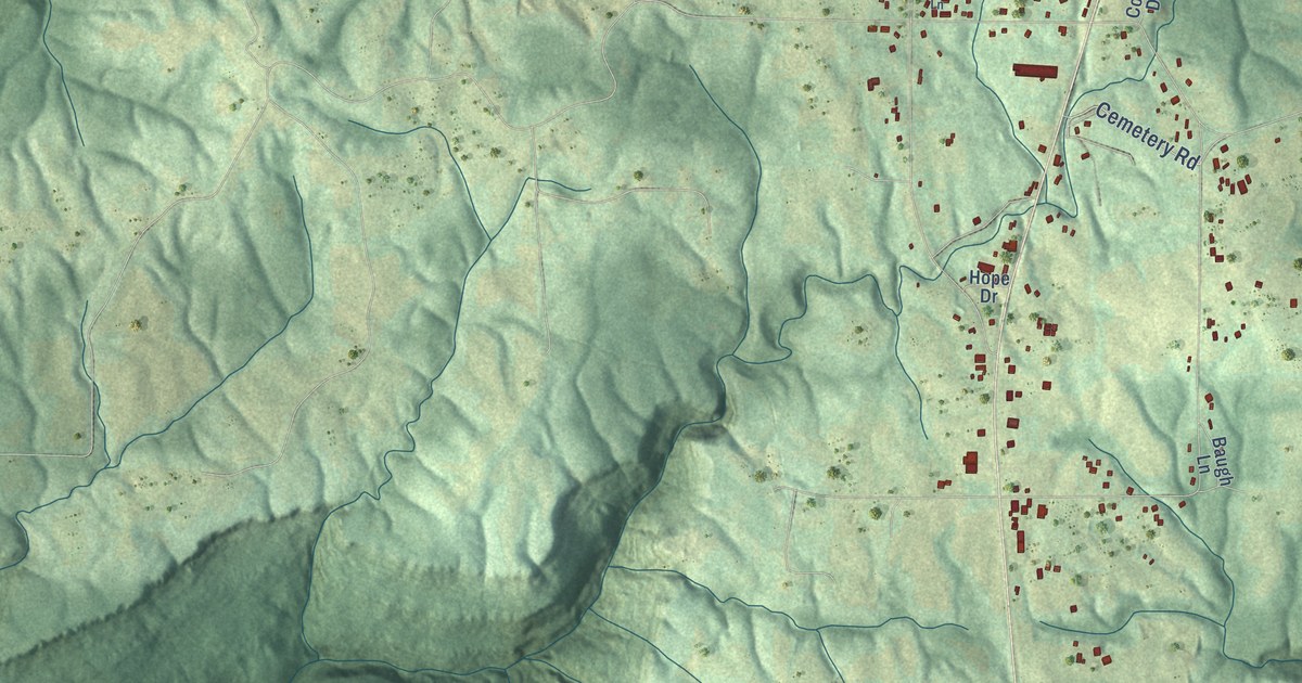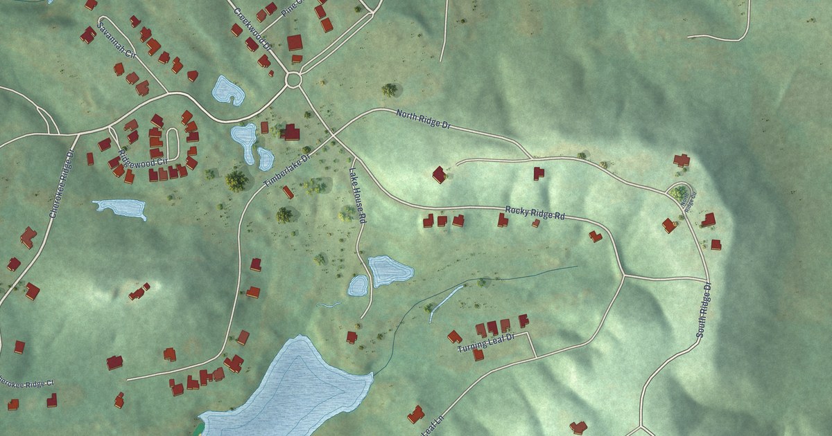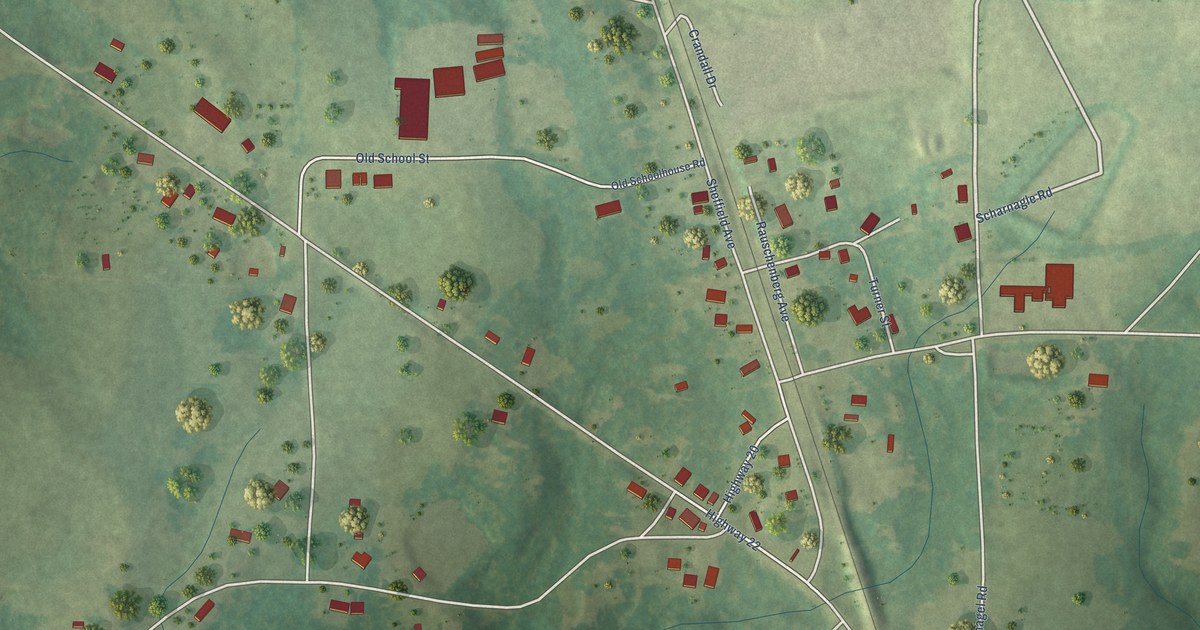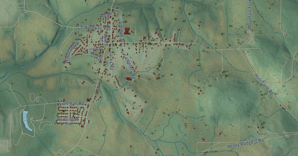
This beautifully detailed map of New Market, Alabama was created in 2026 using aerial imagery combined with modern topographical, census, street and landmark data. It's a modern aerial view of New Market in Madison County, Alabama, that combines modern data with a vintage aesthetic. The roads feature printed names, and if you look closely you can find your exact house accurately shown in its correct location.
Explore an aerial view of New Market, Alabama
On this map you'll find Hillsboro, Fannings Crossing, Buckhorn, Hurricane Road, Co Highway 65, Winchester Road, Frank Hereford Road, Davis Road, Lewis Mountain Road, County Lake Road, Hillsboro Circle, Co Highway 69, and more. Each red shape is a building, so zoom in on the preview and look for yours.
Here is a piece of New Market history. Pioneers settled New Market as early as 1806. George Smith, who owned much of the town site, built the first log house and opened a store in 1814, and John Miller dug a millrace and built a gristmill and sawmill in 1819. The town grew into a thriving trade center for the farms around it and was once known as the Watercress Capital of the World. New Market became a voting precinct in 1827 and was incorporated as a town in 1837. William Hayter served as its first postmaster from 1827 to 1839. That's from the Alabama Historical Association.
New Market is a community in Madison County. The Census Bureau counted 1,543 people here in 2020.
Take a closer look at the New Market map
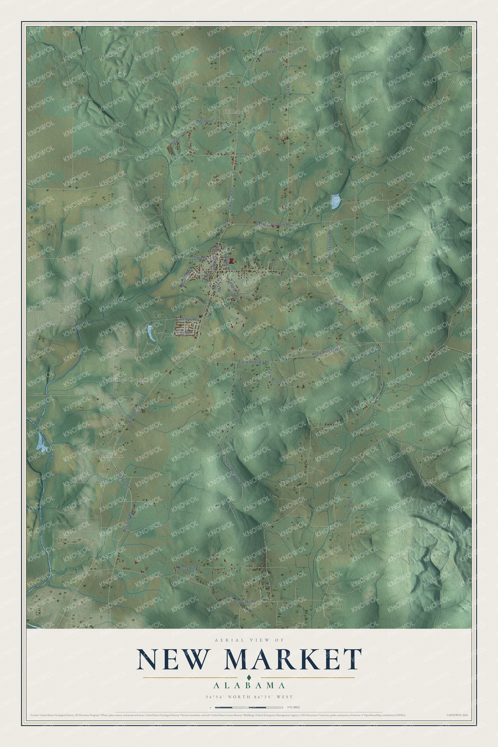
Names on this map
These names are printed on this map.
Places: Hillsboro, Fannings Crossing and Buckhorn.
Streets and roads: Hurricane Road, County Highway 65, Winchester Road, Frank Hereford Road, Davis Road, Lewis Mountain Road, County Lake Road, Hillsboro Circle, County Highway 69, Maysville Road, Jacks Road, Old Mountain Fork Road.
More street names, A to Z
Cemetery Road, Coleman Road, College Street, County Highway 100, Depot Street, Frank Hereford Drive, Fussy Hill Road, Henry Rodgers Road, Hillsboro Drive, Larkin Street, Moe Road, Mountain Fork Road, Newgent Drive, Oak Street, Powers Street, Woodland Street, Worthington Circle.
See it on a wall
The New Market map as a framed print. Swipe for more.


Created by KNOWOL in 2026. The buildings are small red shapes, the roads carry their printed names, and shaded relief shows the shape of the land. The title panel reads "AERIAL VIEW OF NEW MARKET, ALABAMA" with 34°54' NORTH 86°25' WEST.
It suits a den, a classroom or a front hall, and it makes a gift for anyone with New Market roots. Open the preview and find the block you know. See sizes and frames for the New Market map.