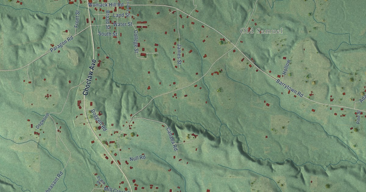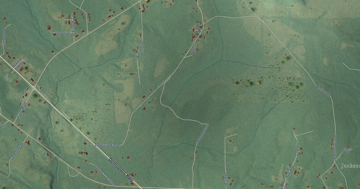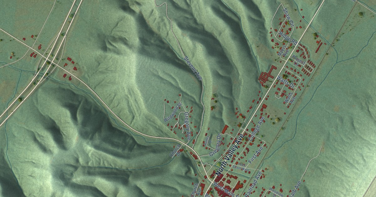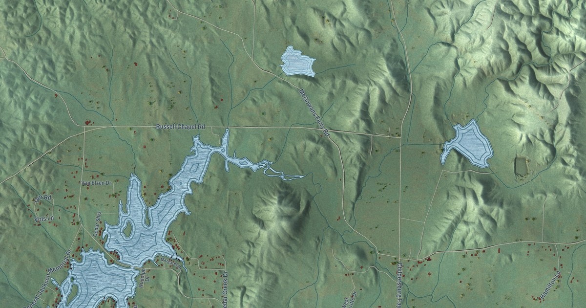
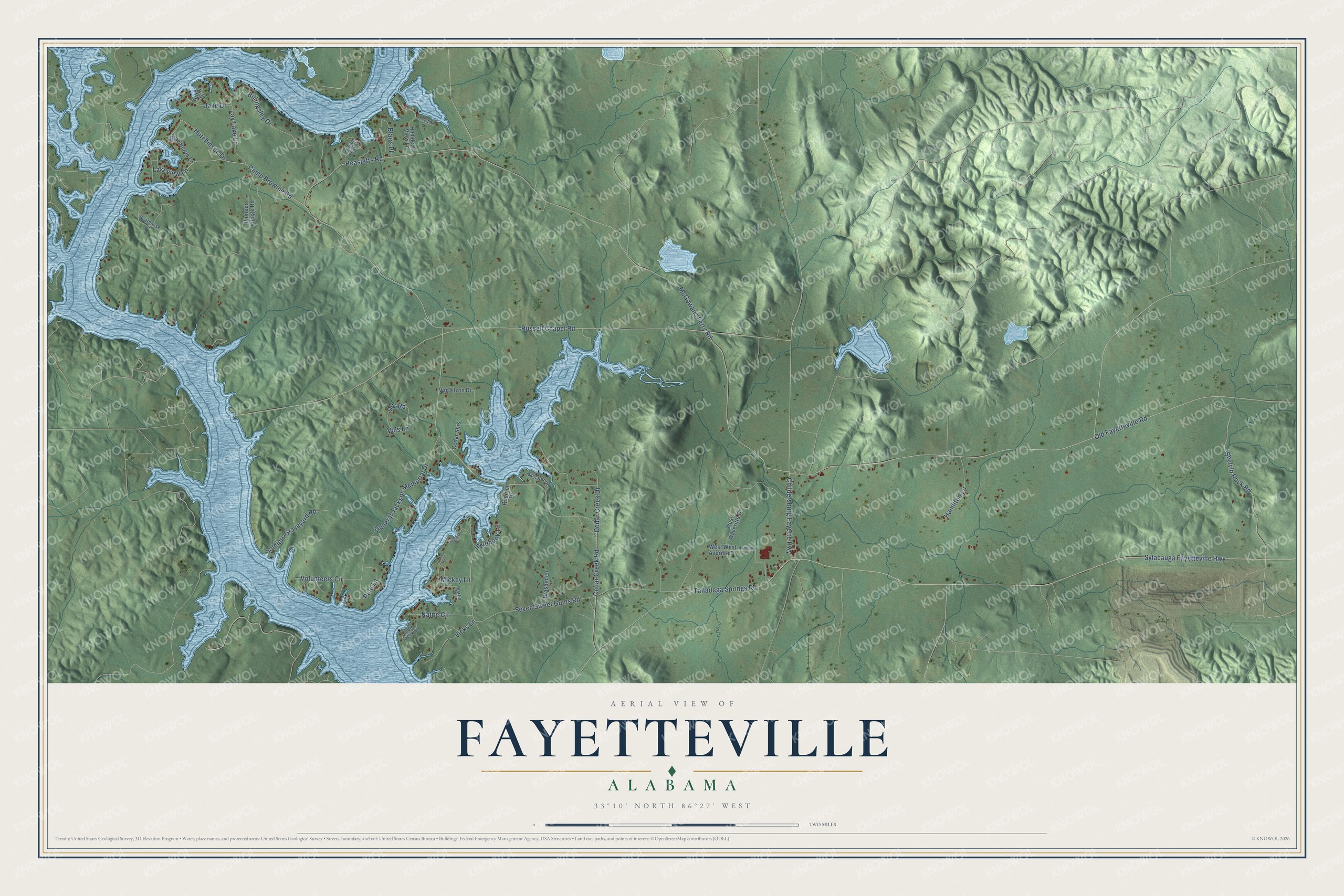
This beautifully detailed map of Fayetteville, Alabama was created in 2026 using aerial imagery combined with modern topographical, census, street and landmark data. It's a modern aerial view of Fayetteville in Talladega County, Alabama, that combines modern data with a vintage aesthetic. The roads feature printed names, and if you look closely you can find your exact house accurately shown in its correct location.
Explore an aerial view of Fayetteville, Alabama
On this map you'll find Lakeview Lane, McGowans Ferry Road, Russell Chapel Road, Sylacauga Fayetteville Highway, Old Fayetteville Road, Cedar Creek Road, Camp Brownie Road, Seven Sweet Gums Road, Shelvin Rock Road, Heasletts Road, General Jackson Memorial Drive, Cedar Creek Drive, and more. Each red shape is a building, so zoom in on the preview and look for yours.
Every town has a first chapter, and Fayetteville is no exception. Fayetteville was named by veterans of the Creek War. In 1814 Tennessee troops joined Andrew Jackson's army in the area, and after Indian removal in 1836 those veterans brought their families to settle, naming the community for their old home in Tennessee. Fayetteville Academy was built in 1850. That's from the Alabama Historical Association.
Fayetteville is a community in Talladega County. The Census Bureau counted 1,422 people here in 2020.
Take a closer look at the Fayetteville map
Names on this map
These names are printed on this map.
Streets and roads: Lakeview Lane, McGowans Ferry Road, Russell Chapel Road, Sylacauga Fayetteville Highway, Old Fayetteville Road, Cedar Creek Road, Camp Brownie Road, Seven Sweet Gums Road, Shelvin Rock Road, Heasletts Road, General Jackson Memorial Drive, Cedar Creek Drive.
More street names, A to Z
Billingsley Drive, Blairs Place, Blue Heron Lane, Boathouse Circle, Brasher Lane, Cedar Creek Circle, Cedar Shrs, Childersburg Fayette Highway, Crabapple Lane, Hamilton Lane, Harmony Lane, Heasletts View Lane, Hilton Drive, Hutchinson Drive, Inglenook Lane, Jake Drive, Lakeside Drive, Lay Lake Lane, Margaret Drive, Marion Peak Lane, Martin Road, Mickey Lane, Nalrie Circle, Our Road, Pioneer Village Road, Polo Lane, Rudolph Drive, Soldiers Graveyard Road, Sunset Lane, Talladega Springs Road, Van Elzen Drive, Vicks Lane, Vols Lane, Volunteers Circle, West Waveritte Drive, West West Averitte Drive.
See it on a wall
The Fayetteville map as a framed print. Swipe for more.


Created by KNOWOL in 2026. The buildings are small red shapes, the roads carry their printed names, and shaded relief shows the shape of the land. The title panel reads "AERIAL VIEW OF FAYETTEVILLE, ALABAMA" with 33°10' NORTH 86°27' WEST.
Hang it in the hallway, the office or the cabin, or give it to someone who left Fayetteville and still calls it home. Open the preview and look for a street you know. See sizes and frames for the Fayetteville map.