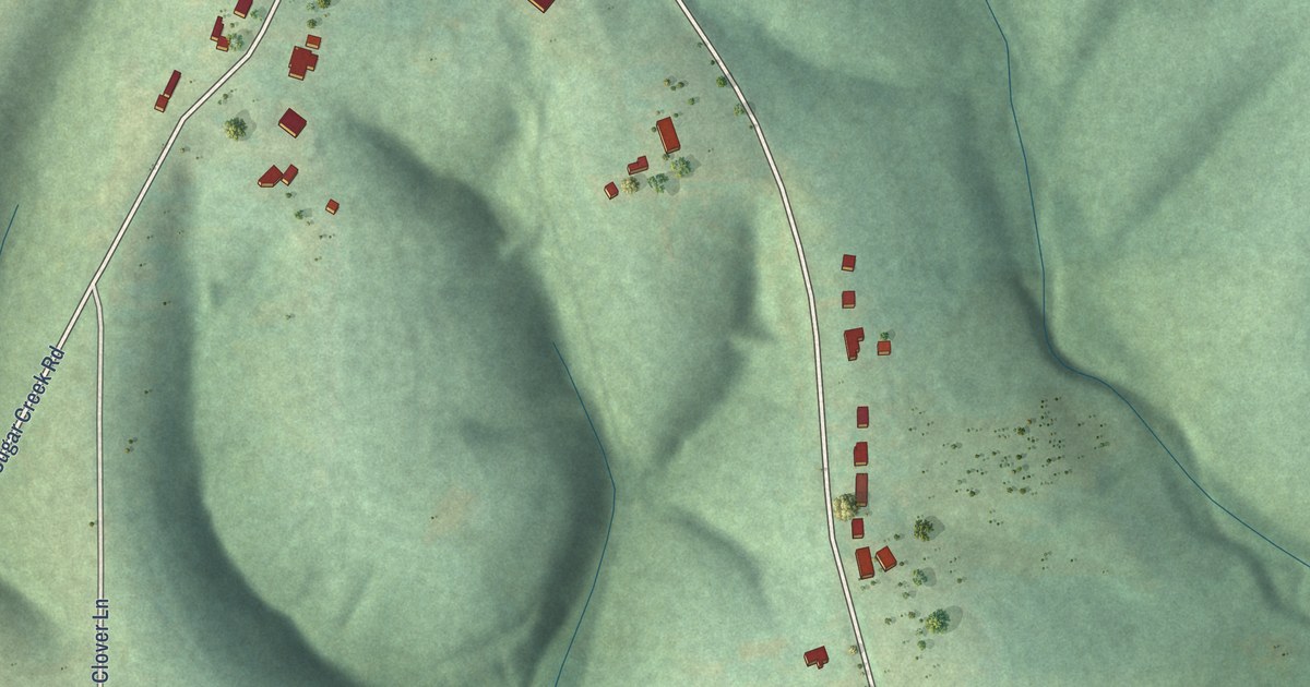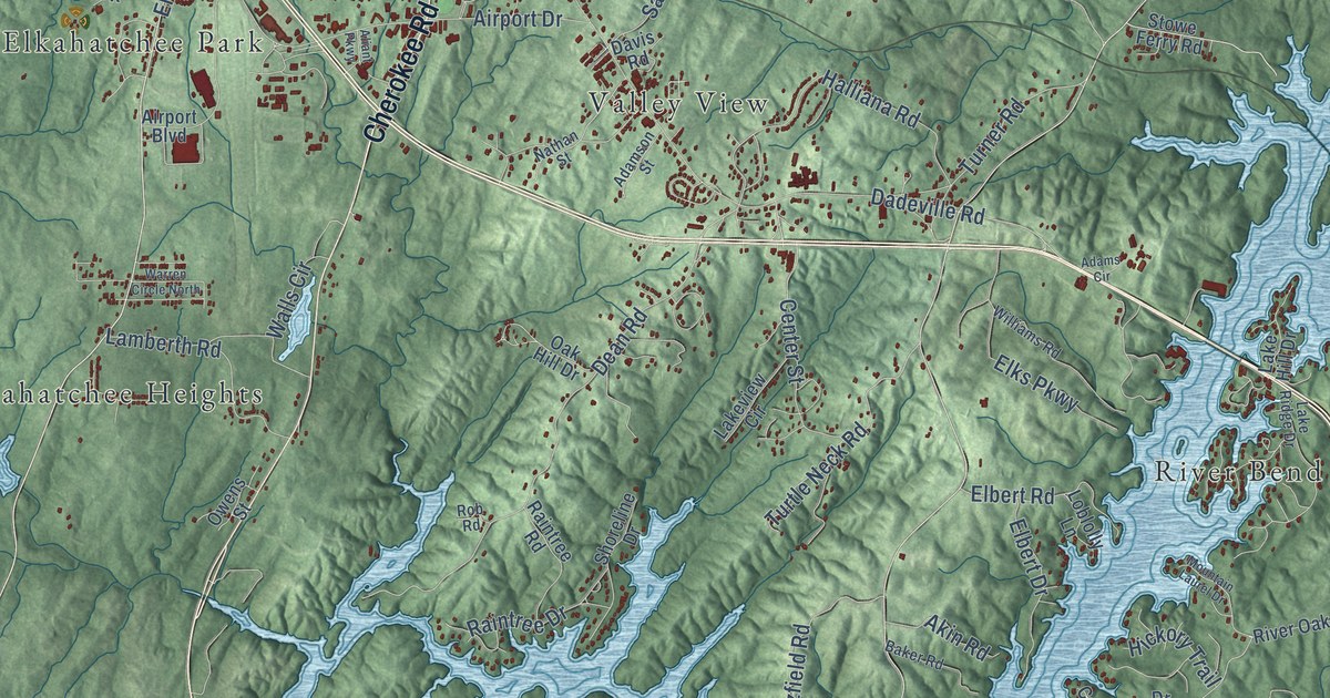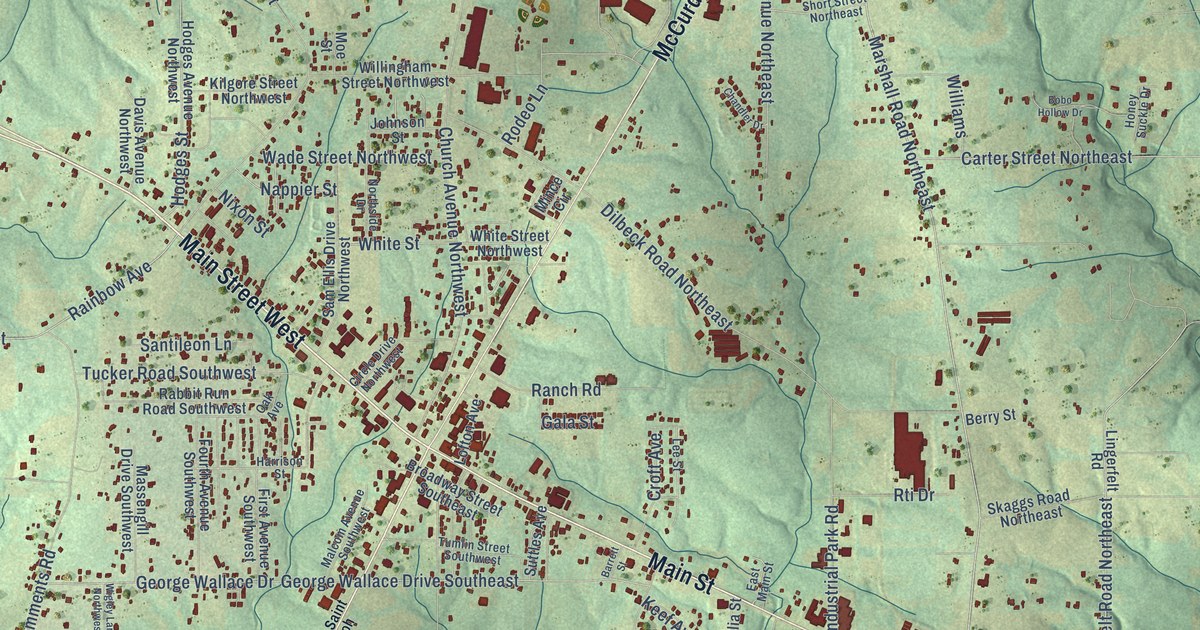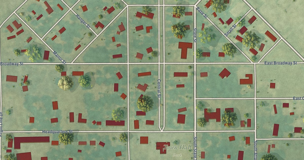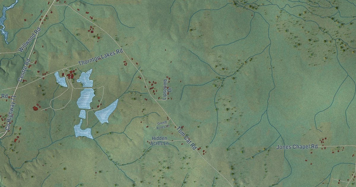
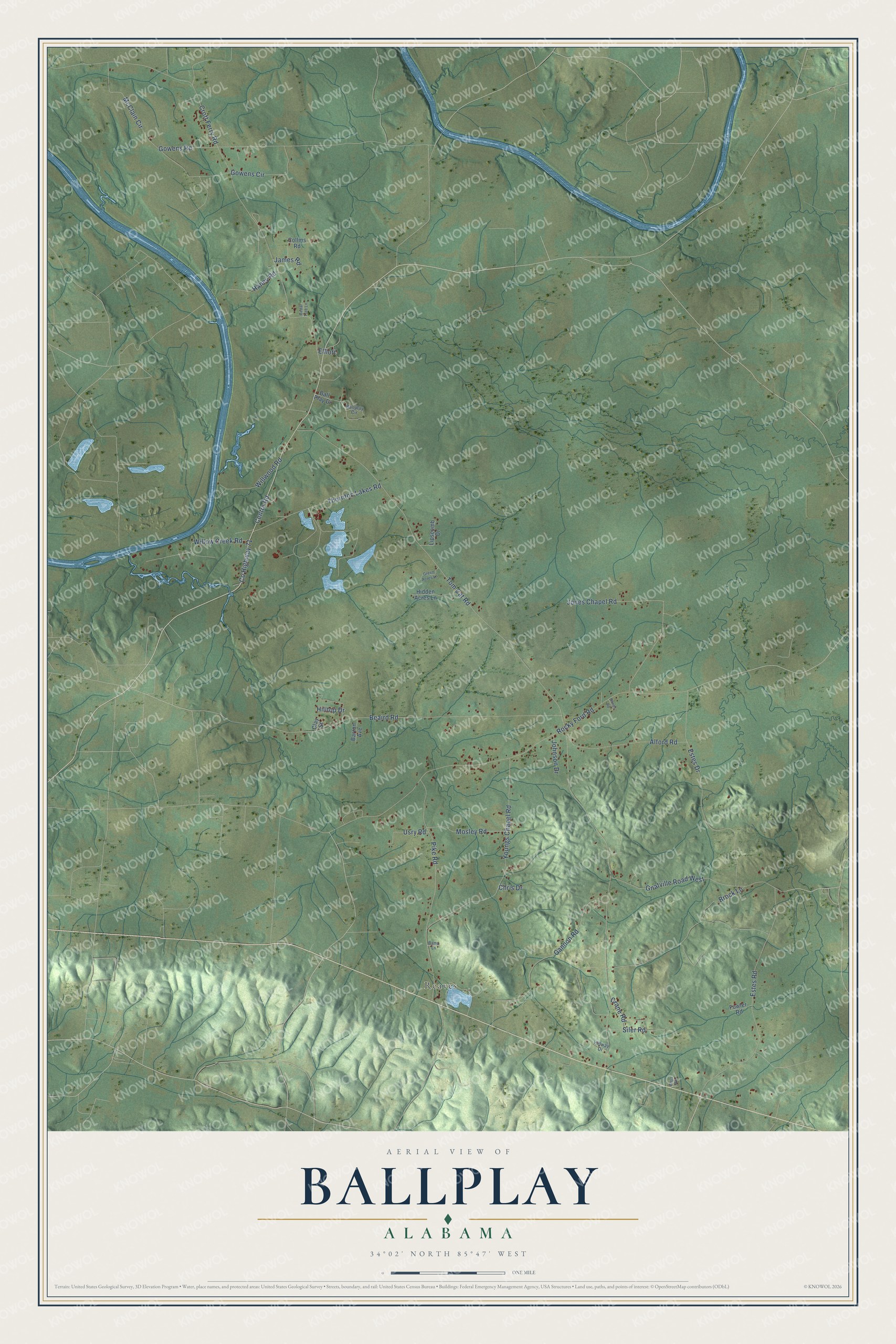
This beautifully detailed map of Ballplay, Alabama was created in 2026 using aerial imagery combined with modern topographical, census, street and landmark data. It's a modern aerial view of Ballplay in Etowah County, Alabama, that combines modern data with a vintage aesthetic. The roads feature printed names, and if you look closely you can find your exact house accurately shown in its correct location.
Explore an aerial view of Ballplay, Alabama
On this map you'll find Reaves, Centre Road, Co Highway 71, Tom Cat Road, Croft Ferry Road, Rocky Ford Road, Beaird Road, Youngs Chapel Road, Estes Road, Estes Drive, Gowens Road, Gannon Road, and more. Each red shape is a building, so zoom in on the preview and look for yours.
Every town has a first chapter, and Ballplay is no exception. Native people once gathered on a stretch of land in the Ball Play area to settle disputes, either by fighting or by playing a rough game of ball moved with two sticks. In December 1832 the Cherokees and Creeks met on the playing field to decide a strip of land along Ball Play Creek, four miles wide and twenty miles long. The Creeks won. An 1876 Gadsden Times story said several thousand men, women and children of both tribes came to watch, and the Creeks danced and celebrated through the night. The Ball Play post office opened in 1840. That's from the Etowah County ALGenWeb.
Ballplay is a community in Etowah County. The Census Bureau counted 1,437 people here in 2020.
Take a closer look at the Ballplay map
Names on this map
These names are printed on this map.
Places: Reaves.
Streets and roads: Centre Road, County Highway 71, Tom Cat Road, Croft Ferry Road, Rocky Ford Road, Beaird Road, Youngs Chapel Road, Estes Road, Estes Drive, Gowens Road, Gannon Road, McClain Circle.
More street names, A to Z
Alford Road, Ballplay Circle, Ball Play Drive, Bama Lane, Barron Avenue, Bonds Road, Boss Road, Brock Lane, Cedar Tree Lane, Chris Drive, Clay Street, Collins Road, Crane Road, Elliott, Fowler Road, Gnatville Road West, Gowens Circle, Green Acres Lane, Haney Road, Hidden Acres Lane, Hilltop Drive, Hillway Drive, James Road, Johnson Drive, Jones Chapel Road, Lipscomb Drive, Mosley Road, Pike Road, Siler Road, Thornton Lakes Road, Usry Road, Willow Creek Road, Willwood Road.
See it on a wall
The Ballplay map as a framed print. Swipe for more.


Created by KNOWOL in 2026. The buildings are small red shapes, the roads carry their printed names, and shaded relief shows the shape of the land. The title panel reads "AERIAL VIEW OF BALLPLAY, ALABAMA" with 34°02' NORTH 85°47' WEST.
Hang it in the hallway, the office or the cabin, or give it to someone who left Ballplay and still calls it home. Open the preview and look for a street you know. See sizes and frames for the Ballplay map.