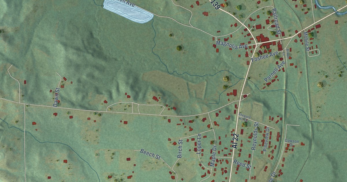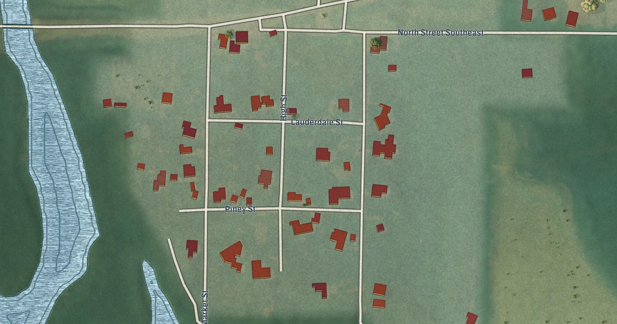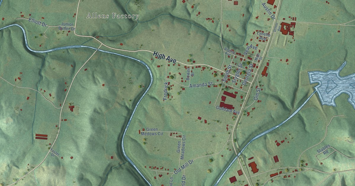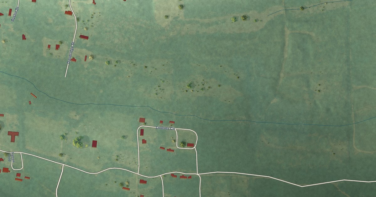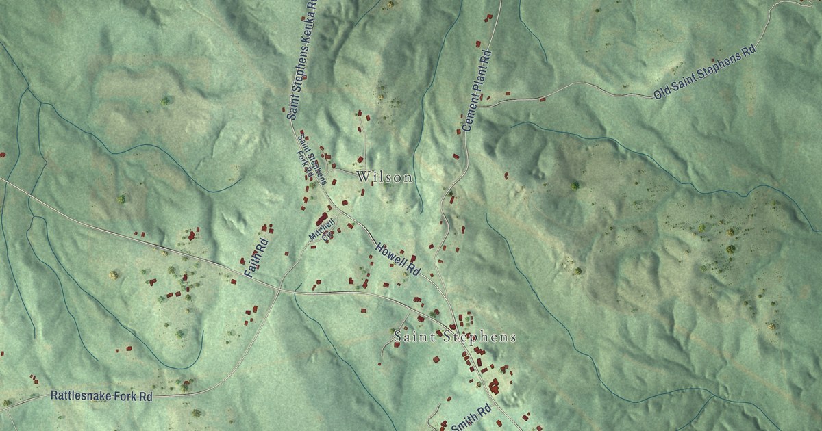
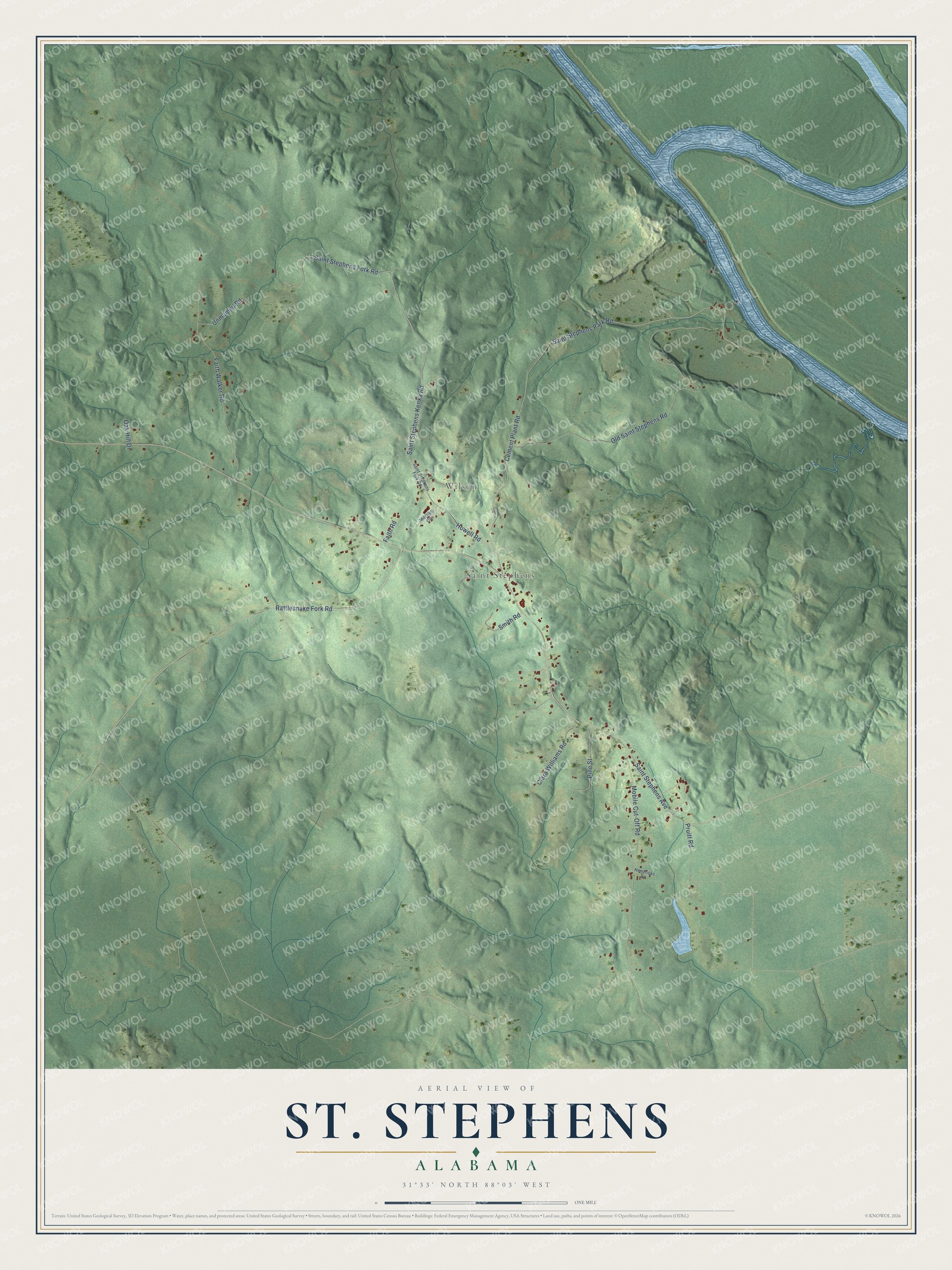
This beautifully detailed map of St. Stephens, Alabama was created in 2026 using aerial imagery combined with modern topographical, census, street and landmark data. It's a modern aerial view of St. Stephens in Washington County, Alabama, that combines modern data with a vintage aesthetic. The roads feature printed names, and if you look closely you can find your exact house accurately shown in its correct location.
Explore an aerial view of St. Stephens, Alabama
On this map you'll find Wilson, Saint Stephens, Saint Stephens Kenka Road, Saint Stephens Fork Road, Cement Plant Road, Saint Stephens Avenue, Old Saint Stephens Road, Rattlesnake Fork Road, Mobile Cut-Off Road, Saint Stephens Park Road, Faith Walker Road, Pruitt Road, and more. Each red shape is a building, so zoom in on the preview and look for yours.
Here is a piece of St. Stephens history. St. Stephens was named the capital of the Alabama Territory in 1817. In January 1818 the territorial legislature met there, chose Alabama's first congressional representative, drew judicial districts, created new counties and called for a census. The frontier town on the Tombigbee River became a center of commerce, with first class lodging and entertainment fit for a capital. Then lawmakers picked Huntsville for the constitutional convention and Cahawba for the first permanent capital, and by mid century St. Stephens was a ghost town. That's from the Alabama Department of Archives and History.
St. Stephens is a community in Washington County. The Census Bureau counted 415 people here in 2020.
Take a closer look at the St. Stephens map
Names on this map
These names are printed on this map.
Places: Wilson and Saint Stephens.
Streets and roads: Saint Stephens Kenka Road, Saint Stephens Fork Road, Cement Plant Road, Saint Stephens Avenue, Old Saint Stephens Road, Rattlesnake Fork Road, Mobile Cut-Off Road, Saint Stephens Park Road, Faith Walker Road, Pruitt Road, Howell Road, Clara Williams Road.
More street names, A to Z
Faith Road, Hendricks Lane, Mitchell Circle, Oak Hill Drive, Pine Street, Smith Road, Unmamed Road.
See it on a wall
The St. Stephens map as a framed print. Swipe for more.


Created by KNOWOL in 2026. The buildings are small red shapes, the roads carry their printed names, and shaded relief shows the shape of the land. The title panel reads "AERIAL VIEW OF ST. STEPHENS, ALABAMA" with 31°33' NORTH 88°03' WEST.
It suits a den, a classroom or a front hall, and it makes a gift for anyone with St. Stephens roots. Open the preview and find the block you know. See sizes and frames for the St. Stephens map.