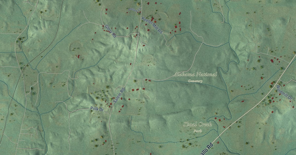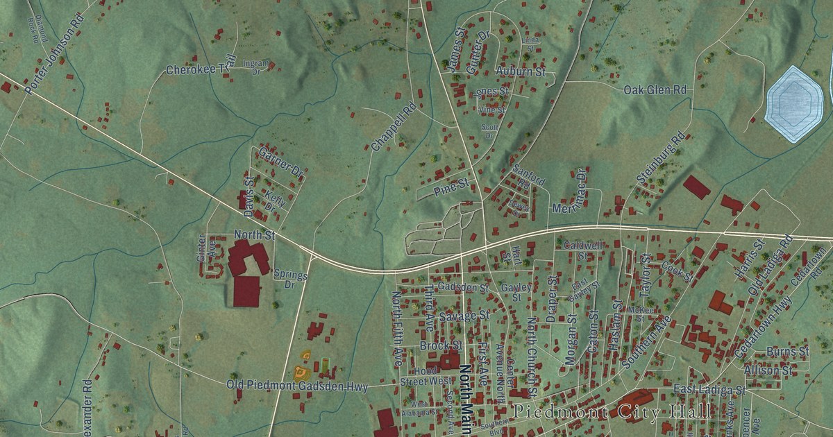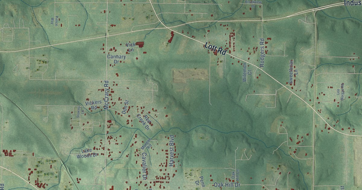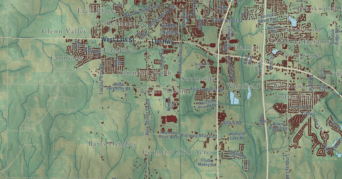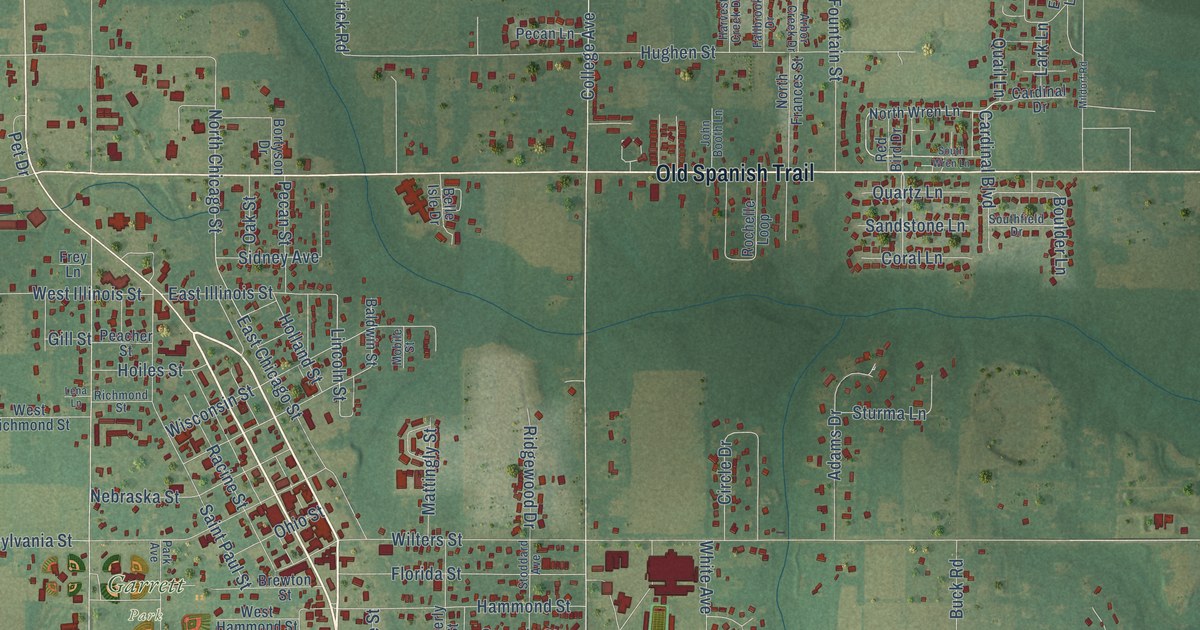
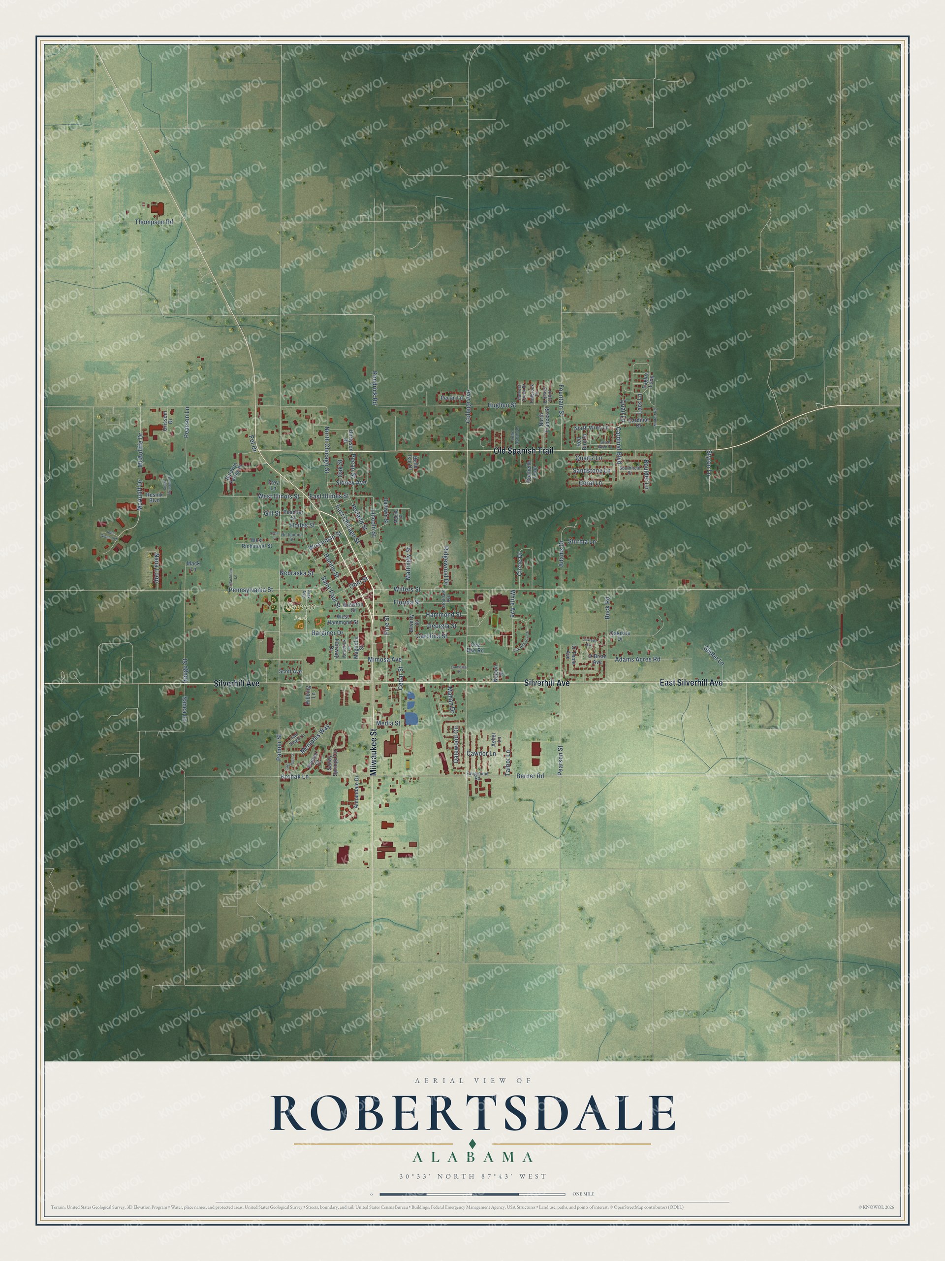
This beautifully detailed map of Robertsdale, Alabama was created in 2026 using aerial imagery combined with modern topographical, census, street and landmark data. It's a modern aerial view of Robertsdale in Baldwin County, Alabama, that combines modern data with a vintage aesthetic. The roads feature printed names, and if you look closely you can find your exact house accurately shown in its correct location.
Explore an aerial view of Robertsdale, Alabama
On this map you'll find Garrett Park, Milwaukee Street, East Silverhill Avenue, Silverhill Avenue, Old Spanish Trail, Berner Road, Cardinal Boulevard, Mahan Drive, College Avenue, Krchak Lane, Lincoln Street, North Chicago Street, and more. Each red shape is a building, so zoom in on the preview and look for yours.
Here is a piece of Robertsdale history, in the words of the record. The record at encyclopediaofalabama.org puts it this way: "Tim Cook , CEO of Apple Inc., was raised in Robertsdale, as was Janie Ledlow Shores , the first woman elected to the Alabama Supreme Court ."
Robertsdale is a city in Baldwin County. The Census Bureau counted 6,708 people here in 2020.
Take a closer look at the Robertsdale map
Names on this map
These names are printed on this map.
Places: Garrett Park.
Streets and roads: Milwaukee Street, East Silverhill Avenue, Silverhill Avenue, Old Spanish Trail, Berner Road, Cardinal Boulevard, Mahan Drive, College Avenue, Krchak Lane, Lincoln Street, North Chicago Street, Kendrick Road.
More street names, A to Z
Adams Acres Road, Adams Drive, Annandale Drive, Arbor Creek Drive, Asher Lane, Baldwin Farms Place, Baldwin Street, Barginer Drive, Belle Isle Drive, Beverly Street, Blackburn Lane, Bortyson Drive, Boulder Lane, Brewton Street, Buck Road, Camellia Street, Cardinal Drive, Carolina Street, Cawdor Lane, Cedar Street, Cee Bee Road, Circle Drive, Coral Lane, Dalewood Circle, Eagles Loop, East Chicago Street, East Illinois Street, Fairground Road, Fairway Drive, Fallbrook Drive, Florida Street, Fountain Street, Frey Lane, Georgia Street, Gill Street, Grissom Drive, Hammond Street, Harvest Creek Drive, Hauge Street, Hibbing Lane, Hoiles Street, Holland Street, Hughen Street, John Booth Lane, John Glenn Avenue, Kendrick Lane, Lark Lane, Lena Lane, Louisville Court, Mack Lane, Magnolia Street, Mattingly Street, McAuliff Drive, McAuliffe Drive, Media Street, Memphis Way, Mildorf Road, Mimosa Avenue, Mobile Street, Nana Loop, Nebraska Street, Nelson Street, North Frances Street, North Wren Lane, O'Brian Avenue, O'Grady Avenue, O'Toole Avenue, Oakdale Drive, Oak Hillcrest Drive, Oak Street, Ohio Street, Palmer Court, Palmer Street, Park Avenue, Peacher Street, Pearson Lane, Pearson Street, Pecan Lane, Pecan Street, Pennsylvania Street, Pet Drive, Pine Street, Quail Lane, Quartz Lane, Racine Street, Red Bird Drive, Resnik Boulevard, Richmond Street, Ridgewood Drive, Rochelle Loop, Saint Paul Street, Sanca Lane, San Diego Lane, Sandstone Lane, Sandy Springs Circle, Scott Avenue, Shobe Lane, Sidney Avenue, Southfield Drive, South Grissom Drive, South Wren Lane, Stoddard Avenue, Sturma Lane, Styron Lane, Talbot Lane, Thompson Road, West Hammond Street, West Illinois Street, West Richmond Street, White Avenue, Wilters Street, Wisconsin Street.
Created by KNOWOL in 2026. The buildings are small red shapes, the roads carry their printed names, and shaded relief shows the shape of the land. The title panel reads "AERIAL VIEW OF ROBERTSDALE ALABAMA" with 30°33' NORTH 87°43' WEST.
It suits a den, a classroom or a front hall, and it makes a gift for anyone with Robertsdale roots. Open the preview and find the block you know. See sizes and frames for the Robertsdale map.