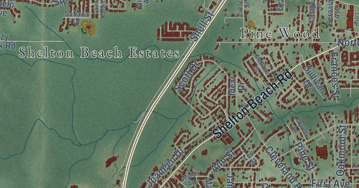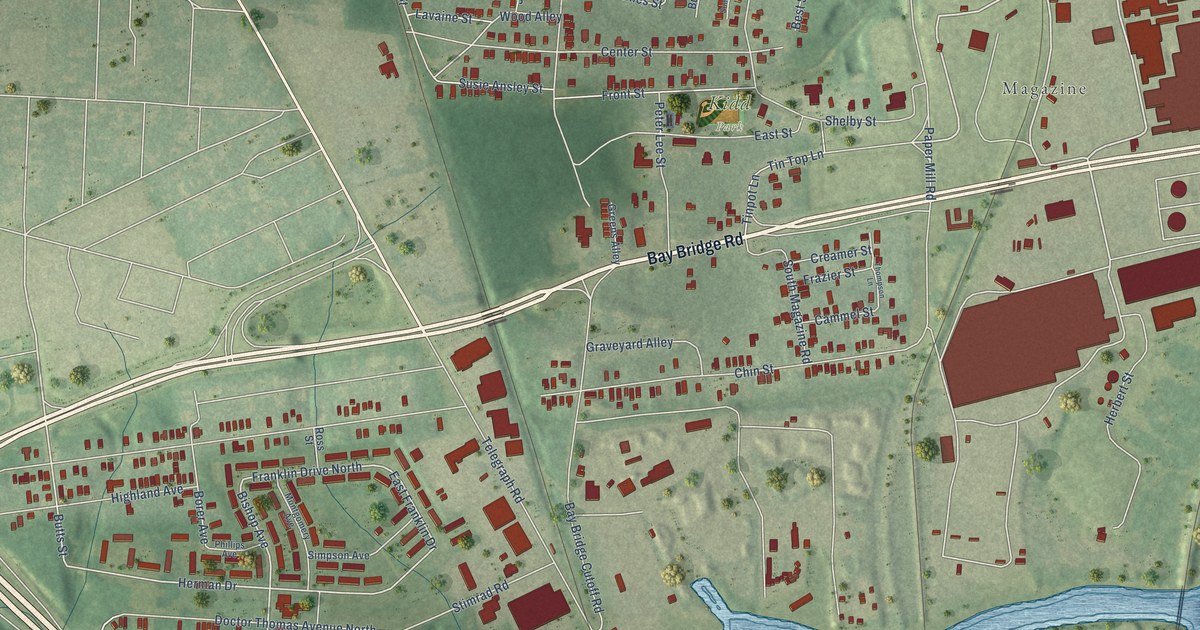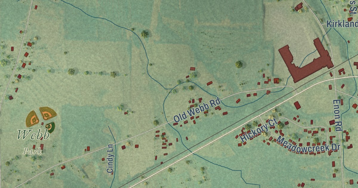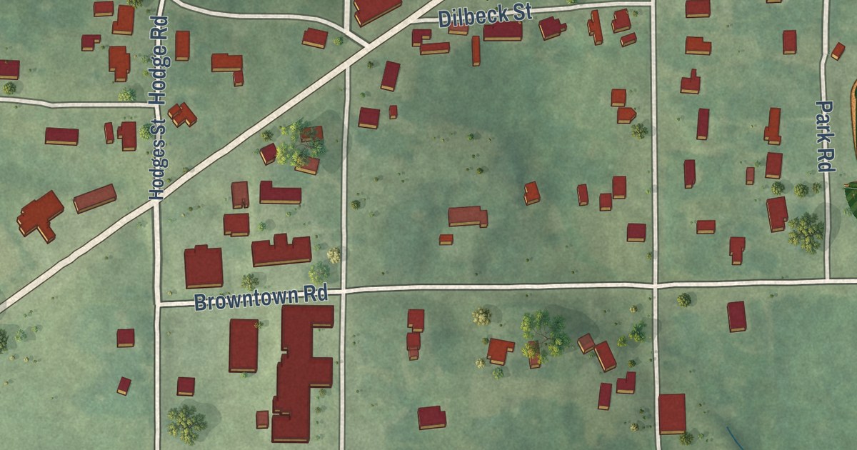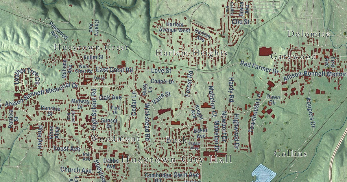
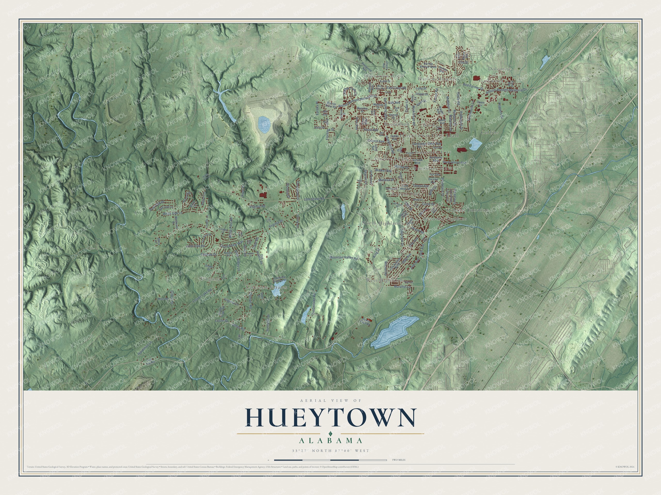
This beautifully detailed map of Hueytown, Alabama was created in 2026 using aerial imagery combined with modern topographical, census, street and landmark data. It’s a one-of-a-kind view of Hueytown that combines accurate data with a vintage aesthetic. The map shows every building in its true location, many of the roads carry their names, and the shaded topographic relief shows the shape of the land.
Explore an aerial view of Hueytown, Alabama
On the map you’ll find Hueytown City Hall, Avalon Park, Bessemer Gardens, Brooklane Place, Bush, Collins, Dolomite, Dolonar Junction, Garywood, Harlem Heights, Hueytown Crest, Industrial City, and more. If you look closely you can even find your house accurately drawn in its correct location. Zoom in on the preview to look for yours.
Did you know this piece of Hueytown, Alabama history?
From Encyclopediaofalabama.org: "European American settlers first came to the area where Hueytown is now located around 1816, with the Brown family being the first to establish a land claim."
Take a closer look at the Hueytown map
Street and place names on the Hueytown, Alabama map
These names are printed on the map of Hueytown, Alabama.
Places: Hueytown City Hall, Avalon Park, Bessemer Gardens, Brooklane Place, Bush, Collins, Dolomite, Dolonar Junction, Garywood, Harlem Heights, Hueytown Crest, Industrial City, Lakeview Estates, North Highlands, Vineland Park, Virginia, West Highlands and Woodmont.
Streets and roads: Allison-Bonnett Memorial Drive, Allison Bonnett Memorial Drive, Murphys Lane, Foust Avenue, 19th Street, Johns Road, 26th Avenue, Cedar Lane, Devon Road, High School Road, Love Street, East Crest Road.
More street names, A to Z
15th Street Road, 21st Street, 24th Avenue, 25th Avenue, 26th Alley, 27th Alley, 27th Avenue, 27th Avenue North, 29th Avenue, 31st Avenue, Andover Road, Ashwood Road, Aspen Lane, Baker Avenue, Birch Lane, Boyce Avenue, Brooklane Drive, Bunchie Street, Cambridge Road, Cape Road, Chapel Drive, Cherry Avenue, Chesapeake Drive, Church Avenue, Churchview Way, Circle Drive, Clio Street, Clyburne Street, Coalfire Avenue, Cox Lane, Crystal Alley, Dabbs Avenue, Daffodil Avenue, Davey Allison Boulevard, Dee Hendrix Road, Deer Run Lane, Dellview Drive, Devon Alley, Dwaine Avenue, Eden Valley Lane, Edenwood Drive, Edgehill Drive, Emerald Avenue, Eureka Place, Faircrest Drive, Fair Street, Fieldale Drive, First Avenue, Florence Street, Forest Road, Fuller Street, Galaxy Drive, Gilbert Drive, Gwin Avenue, Hardiman Lane, Hardy Road, Harlem Avenue, Harlem Avenue West, Hart Avenue, Hazel Drive, Hemlock Drive, Highland Drive, Highwood Drive, Hill Avenue, Huey Lane, Hueytown Road, Jones Avenue, Kentwood Alley, King Street, Knight Avenue, Koppers Drive, Laird Avenue, Lakeview Estates Drive, Larabee Lane, Leather Tree Circle, Lee Ann Drive, Letson Lake Road, Loch Ness Lane, Lone Oak Road, Lovells Lane, Luster Drive, Mabelon Court, Mabelon Drive, Mahone Avenue, McBee Farm Road, Midway Drive, Mimosa Drive, Mitchell Road, Moss Road, Mountain Valley Road, Newport Drive, Novel Drive, Oak Avenue, Olympic Road, Opal Alley, Owen Circle, Park Drive, Parsons Drive, Patricia Street, Pine Avenue, Pinewood Avenue, Pope Drive, Post Oak Drive, Pruitt Drive, Red Farmer Drive, Red Leaf Lane, Roper Drive, Sewer Plant Road, Shady Lane, Sharon Lane, Shell Drive, Shera Lane, Space Road, Star Circle, Sterling Drive, Stoker Drive, Stump Town Road, Sunnyhill Drive, Sunrise Boulevard, Sunset Drive, Tera Lane, Teresa Avenue, Timberlake Road, Tinker Street, Townhouse Lane, Tree Top Road, Vail Avenue, Vann Street, Victoria Drive, Vines Alley, Virginia Drive, Virginia Lane, Virginia Road, Walker Avenue, Warrior River Road, West Crest Road, Westwind Drive, White Oak Lane, White Post Road, Wickstead Road, Willow Drive, Willow Lane.
See the Hueytown, Alabama map on a wall
The Hueytown map as an 18 x 24 inch print in a black frame.

This beautifully detailed map of Hueytown makes an attractive addition to your office, library, or den, and it can even be used to teach children the geography and history of the area. It also makes a great gift for someone who left Hueytown and still calls it home. When you’re done exploring, click here to get your copy of the Hueytown map.