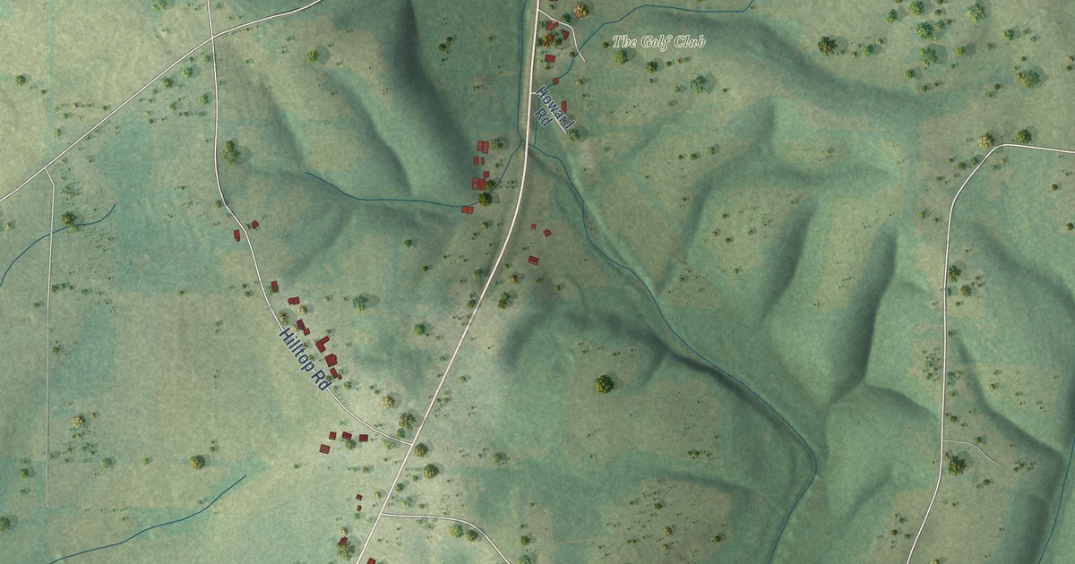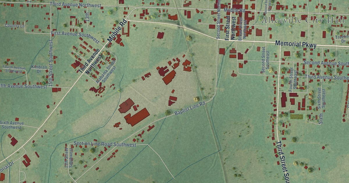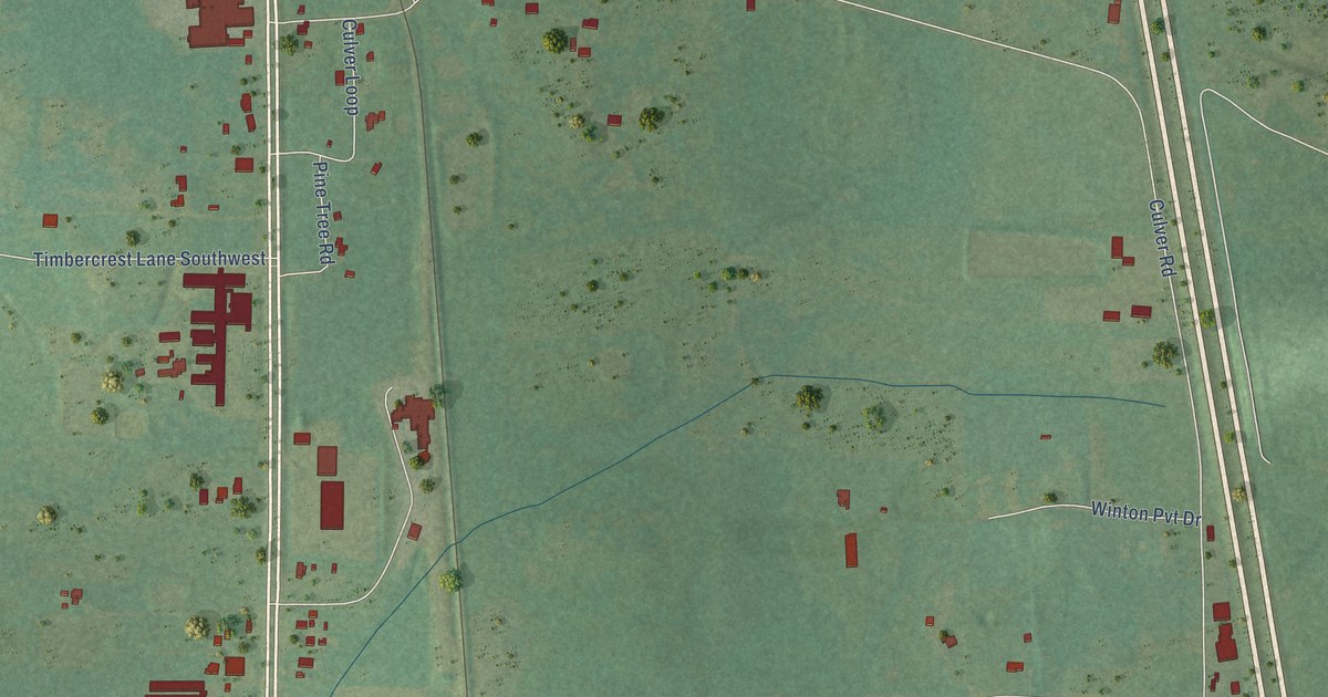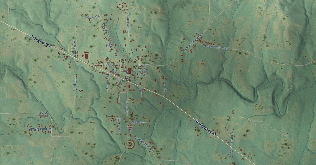
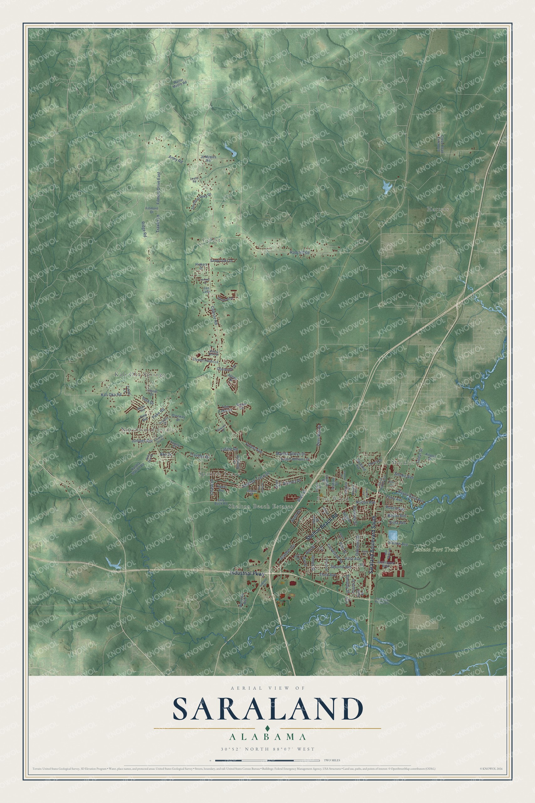
This beautifully detailed map of Saraland, Alabama was created in 2026 using aerial imagery combined with modern topographical, census, street and landmark data. It's a modern aerial view of Saraland in Mobile County, Alabama, that combines modern data with a vintage aesthetic. The roads feature printed names, and if you look closely you can find your exact house accurately shown in its correct location.
Explore an aerial view of Saraland, Alabama
On this map you'll find Jacinto Port Tract, Celeste, Hatters, Kali-Oka Springs, Mackies, Northwood Estates, Pine Wood, Shelton Beach Estates, Spanish Trace, Industrial Parkway, Shelton Beach Road, Saraland Boulevard South, and more. Each red shape is a building, so zoom in on the preview and look for yours.
Every town has a first chapter, and Saraland is no exception. The record at encyclopediaofalabama.org puts it this way: "Bayou Sara Boat Launch Originally part of a Spanish land grant, the area on which Saraland now stands first was settled by squatters as early as 1800."
Saraland is a city in Mobile County. The Census Bureau counted 16,171 people here in 2020.
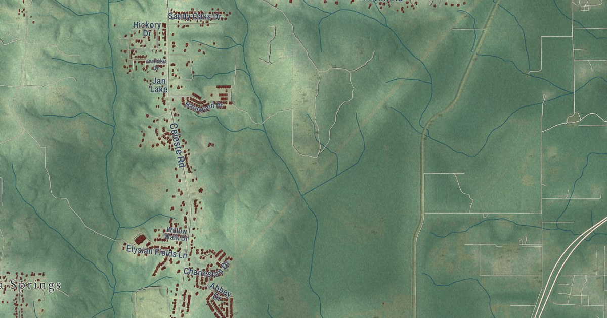
Take a closer look at the Saraland map
Names on this map
These names are printed on this map.
Places: Jacinto Port Tract, Celeste, Hatters, Kali-Oka Springs, Mackies, Northwood Estates, Pine Wood, Shelton Beach Estates, Spanish Trace and Jan Lake.
Streets and roads: Industrial Parkway, Shelton Beach Road, Saraland Boulevard South, Army Road, Scott Drive, Celeste Road, Kali Oka Road, Radcliff Road, Lafitte Road, Second Avenue, Cleveland Road, Forest Avenue.
More street names, A to Z
Aba Drive, Abbey Drive, Airport Street, Alvarez Drive, Ann Street, Bayou Avenue, Bayou Sara Avenue, Beas Lane, Bella Sara Drive, Bernard Avenue, Bienville Boulevard, Bill Myles Drive, Camelot Drive, Cedar Street, Charleston Drive, Chase Drive, Cherry Drive, Church Street, Craig Drive, Creax Road Extended, Cross Street, Dawson Drive, Deer Run Drive, Elysian Fields Lane, Ferry Avenue, Fillmore Drive, Filmore Drive East, First Avenue, Fort Kali Oka Road, Fourth Street, Frances Street, Glenway Drive, Graham Street, Grissom Drive, Hardwood Drive, Hickory Drive, Ideal Drive, Jaciniport Access Road, Jacintoport Boulevard, James Street, Janlake Drive, Jc Maples Road, Joaneen Drive, Jubilee Drive, Juniper Avenue, Kingston Court, Knapp Drive, Kushla Station Road, La Bonne Drive, Lafayette Drive, Laurel Drive, Lazy Buck Road, Lee Street, Leslie Road, Lincoln Street, Lukoli Lane, Mae Street, Maple Avenue, Martha Alleyn Drive, Melinda Drive, Myron Avenue, Norton Avenue, Oakmont Street, Oak Street, Old US Highway 43, Pake Road, Park Drive, Pine Avenue, Pine Street, Powell Lane, Ridge Road, Robert Williams Drive, Ruben Avenue, Sabana Drive, San Carlos Drive, Sandy Oaks Drive, Saraland Avenue, Saraland Loop, Scenic Circle, Shell Street, Smoke Avenue, Southern Oaks Drive, Spanish Trace Drive, Station Avenue, Sullivan Drive, Third Avenue, Timothy Street, Traveler Drive, Traxler Lane, Tupelo Avenue, Twin Lakes Court, Viola Avenue, Walter Moore Road, Willow Walk Drive, Wilson Avenue, York Drive.
Created by KNOWOL in 2026. The buildings are small red shapes, the roads carry their printed names, and shaded relief shows the shape of the land. The title panel reads "AERIAL VIEW OF SARALAND ALABAMA" with 30°52' NORTH 88°07' WEST.
Hang it in the hallway, the office or the cabin, or give it to someone who left Saraland and still calls it home. Open the preview and look for a street you know. See sizes and frames for the Saraland map.