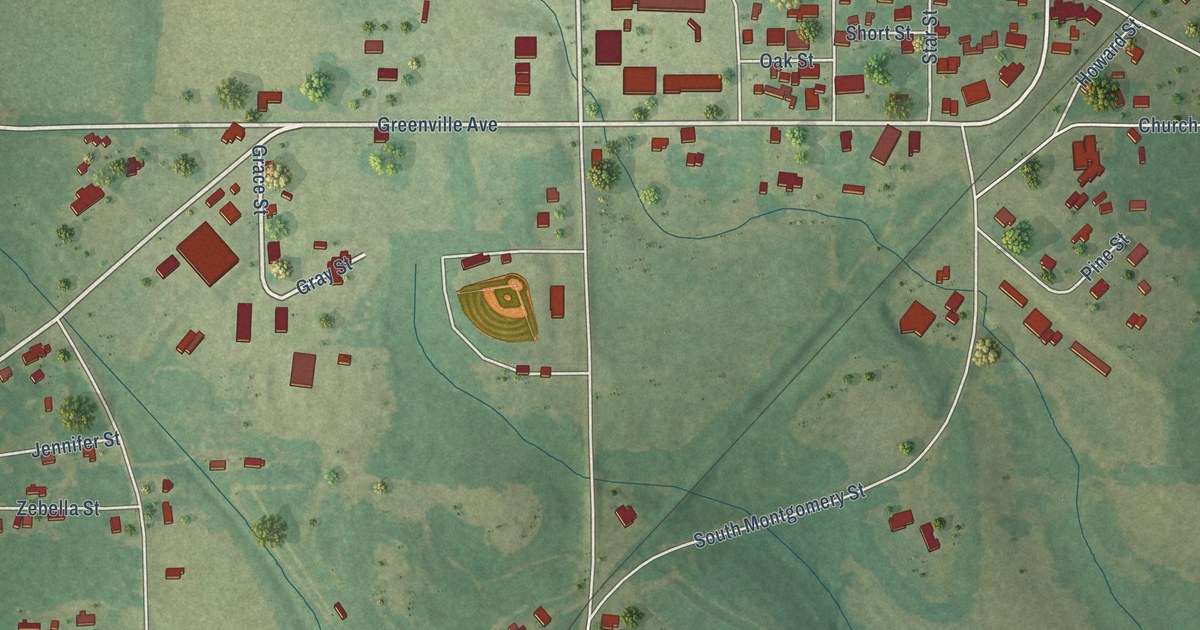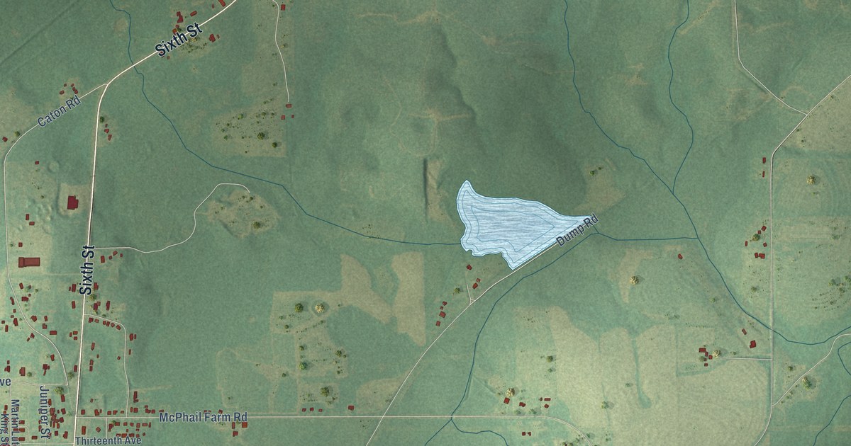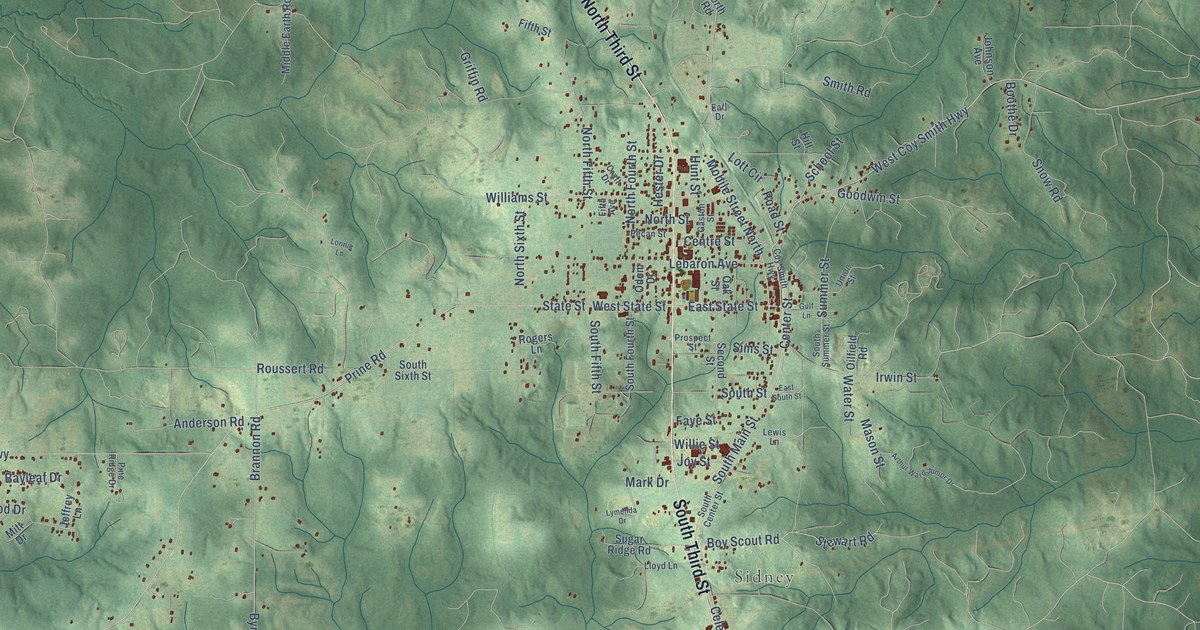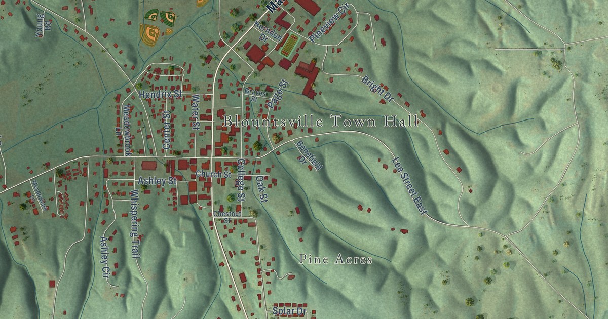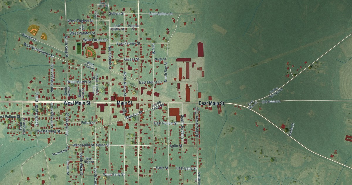
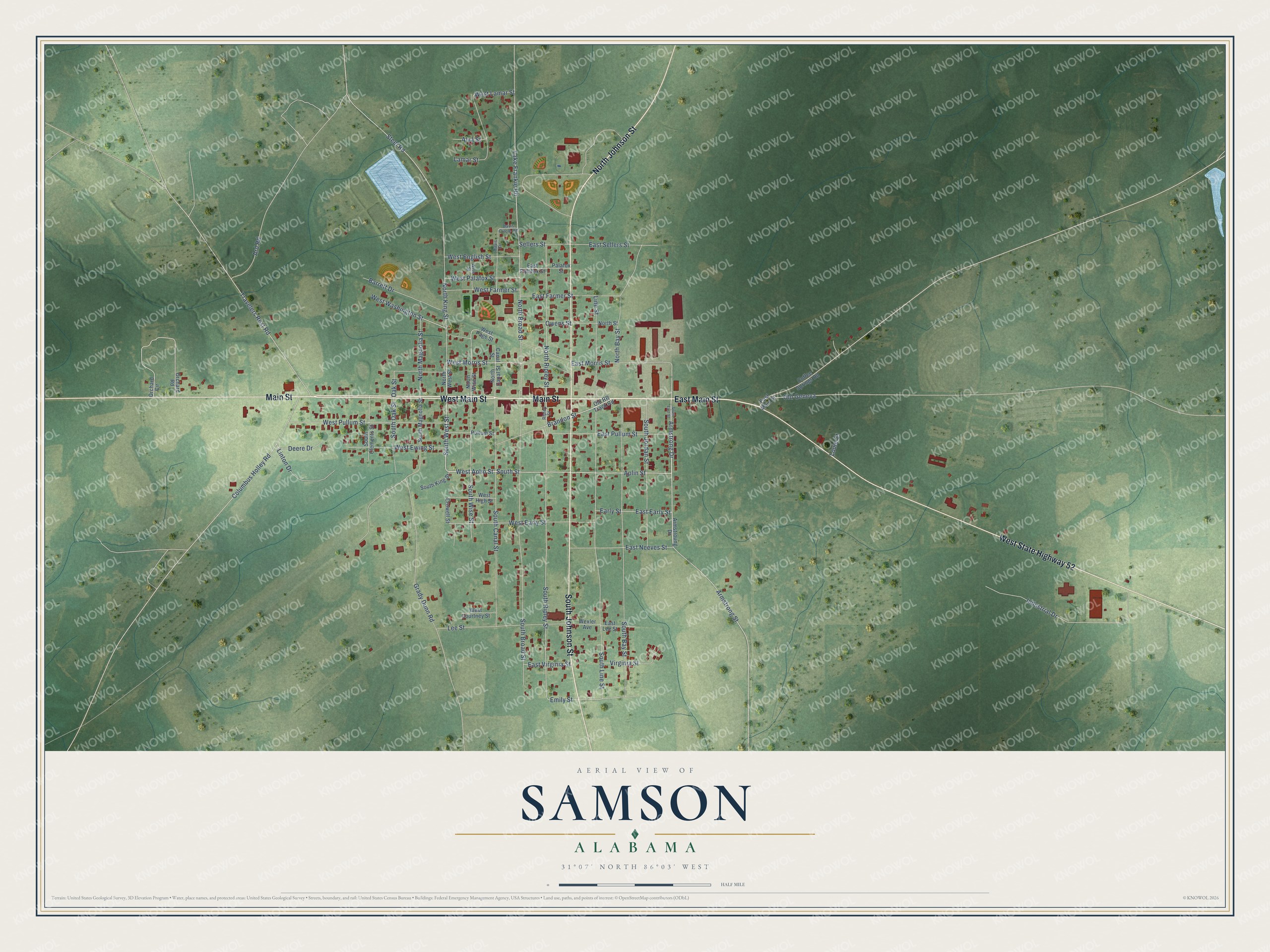
This beautifully detailed map of Samson, Alabama was created in 2026 using aerial imagery combined with modern topographical, census, street and landmark data. It's a modern aerial view of Samson in Geneva County, Alabama, that combines modern data with a vintage aesthetic. The roads feature printed names, and if you look closely you can find your exact house accurately shown in its correct location.
Explore an aerial view of Samson, Alabama
On this map you'll find Main Street, East Main Street, West Main Street, West State Highway 52, North Johnson Street, South Johnson Street, Aplin Street, West Aplin Street, South West Street, Armstrong Drive, West Morris Street, South Street, and more. Each red shape is a building, so zoom in on the preview and look for yours.
Every town has a first chapter, and Samson is no exception. The record at encyclopediaofalabama.org puts it this way: "Samson incorporated in 1906, and one of the first acts of the new town government was to contract with someone to remove stumps from Main Street."
Samson is a town in Geneva County. The Census Bureau counted 1,874 people here in 2020.
Take a closer look at the Samson map
Names on this map
These names are printed on this map.
Streets and roads: Main Street, East Main Street, West Main Street, West State Highway 52, North Johnson Street, South Johnson Street, Aplin Street, West Aplin Street, South West Street, Armstrong Drive, West Morris Street, South Street.
More street names, A to Z
Alva Street, Ard Road, Armstrong Street, Armstroung Drive, Barrett Drive, Brandon Street, Canal Street, Coffee Springs Road, Columbus Holley Road, Crowell Street, Davis Circle, Davis Circle Road, Deere Drive, Early Street, East Early Street, East Farmer Street, East Lee Street, East Morris Street, East Neeves Street, East Palafox Street, East Pullum Street, East Sellers Street, East Virginia Street, Emily Street, Grady Dunn Road, Industrial Drive, Lake Frankie Road, Lamar Street, Lee Street, Line Street, Linton Drive, Louie Court, North Bay Street, North Broad Street, North Canal Street, North King Street, North Magnolia Street, North Ripley Street, North Street, North West Street, North Wise Street, Oak Street, Old Geneva, Old RR Track Road, Orchard Circle, Orchard Road, Owens Street, Palafox Street, Pullum Street, Ripley Street, Sellers Street, South Bay Street, South Broad Street, South Canal Street, South Clements Street, South East Street, South Jordan Street, South King Street, South Line Street, South Magnolia Street, South Oak Street, South Ripley Street, South Wise Street, Steel Road, Travelers Rest Road, Virginia Street, West Courtney Street, West Early Street, West English Street, West Ewing Street, West Farmer Street, West High Street, West Lamar Street, West Page Street, West Palafox Street, West Pullum Street, West Washington Street, Wexler Avenue, Wise Street.
Created by KNOWOL in 2026. The buildings are small red shapes, the roads carry their printed names, and shaded relief shows the shape of the land. The title panel reads "AERIAL VIEW OF SAMSON ALABAMA" with 31°07' NORTH 86°03' WEST.
Hang it in the hallway, the office or the cabin, or give it to someone who left Samson and still calls it home. Open the preview and look for a street you know. See sizes and frames for the Samson map.