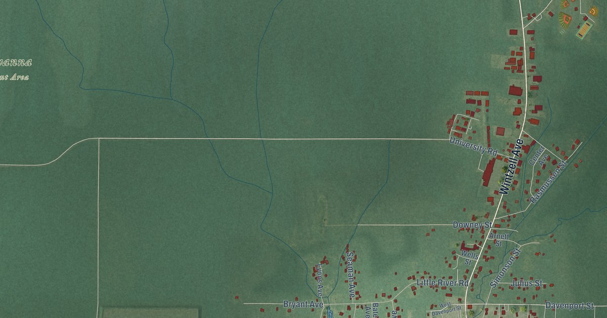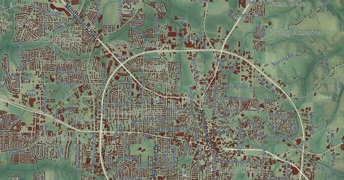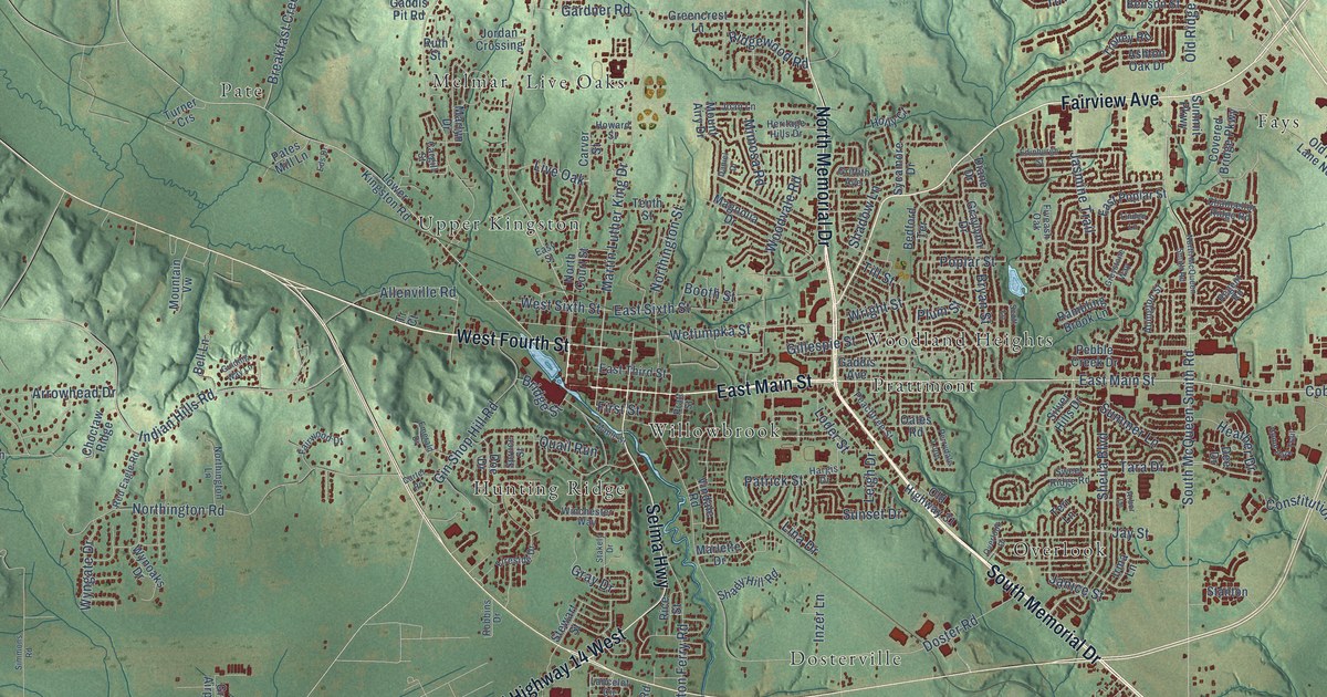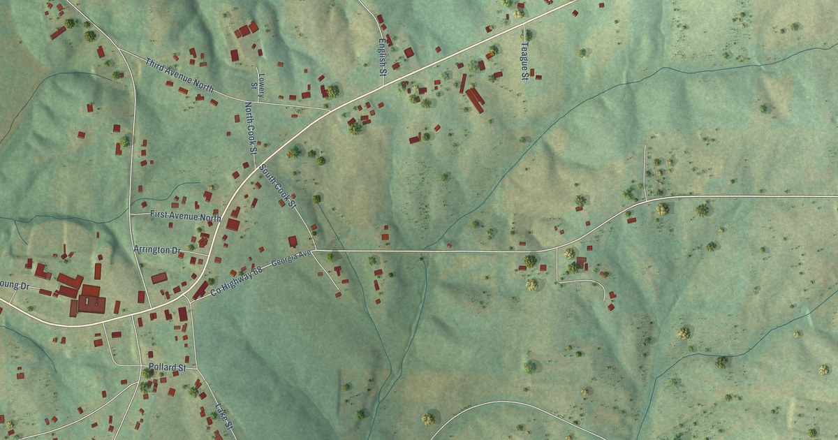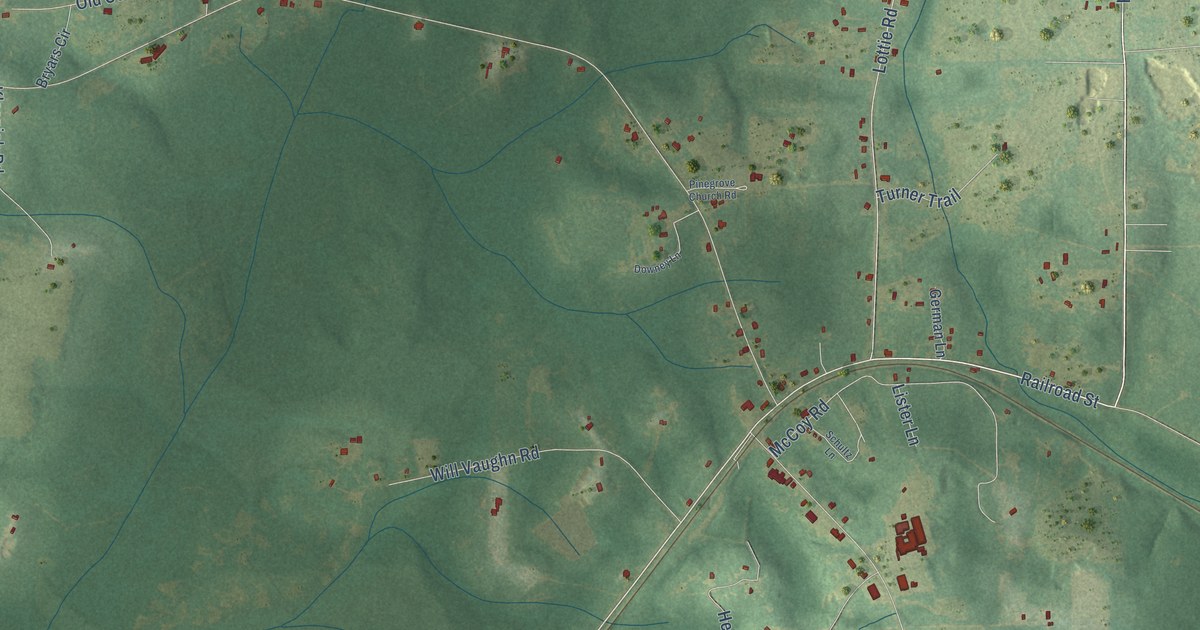
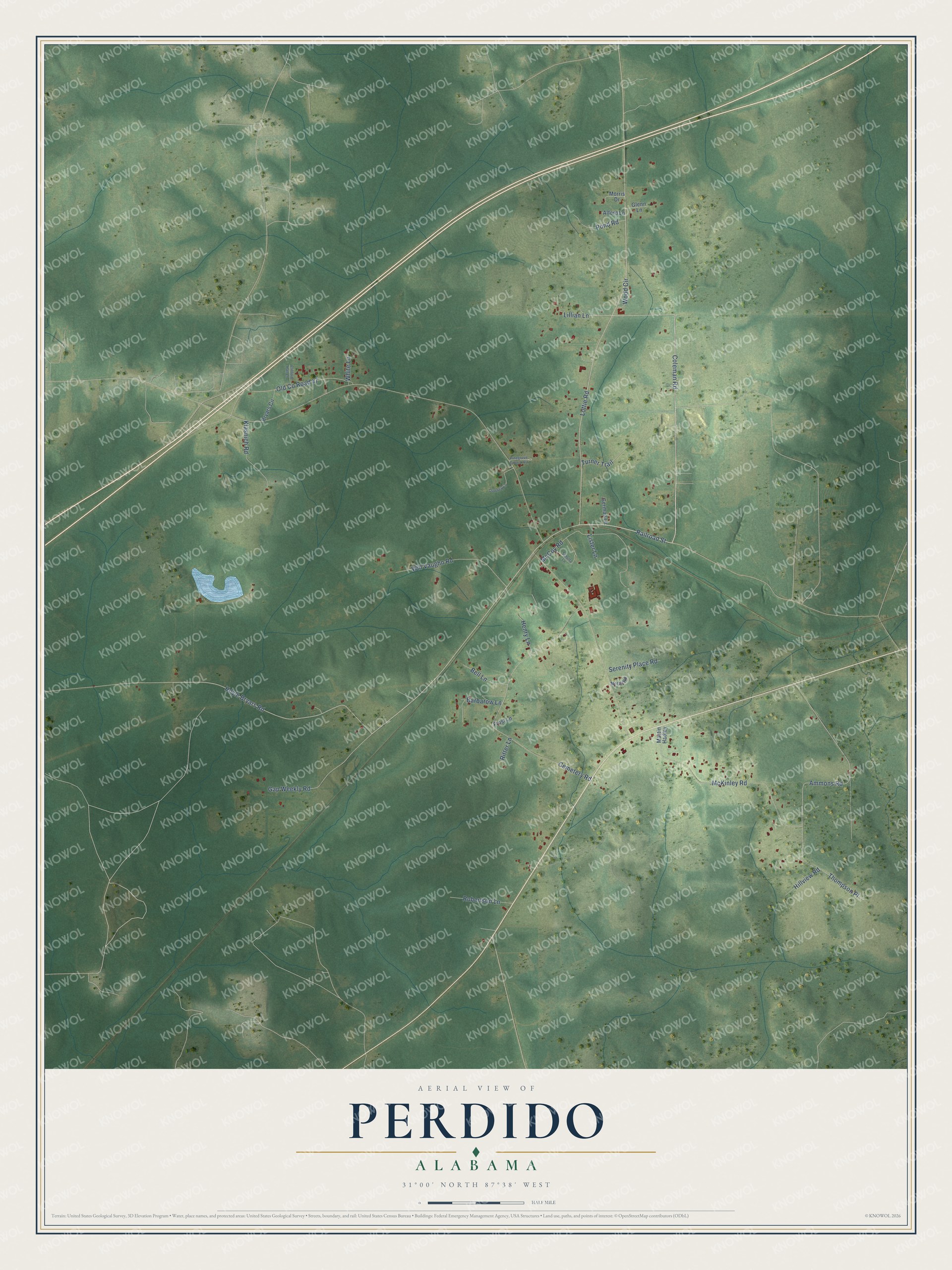
This beautifully detailed map of Perdido, Alabama was created in 2026 using aerial imagery combined with modern topographical, census, street and landmark data. It's a modern aerial view of Perdido in Baldwin County, Alabama, that combines modern data with a vintage aesthetic. The roads feature printed names, and if you look closely you can find your exact house accurately shown in its correct location.
Explore an aerial view of Perdido, Alabama
On this map you'll find Railroad Street, Coleman Road, Hoyle Bryars Road, Lillian Lane, Thompson Place, Ammons Road, McKinley Road, Lottie Road, Cemetery Road, McCoy Road, Will Vaughn Road, Gap Weekly Road, and more. Each red shape is a building, so zoom in on the preview and look for yours.
Here is a piece of Perdido history. On May 17, 1965, a Louisville and Nashville train derailed in Perdido, near where State Highways 47 and 61 meet, and chemicals from its tank cars spilled and caught fire. Years later benzene from the spill turned up in the town's wells, and a new waterline from Atmore, six miles away, brought drinking water to about 150 Perdido homes. Once the cleanup was finished, the site was taken off the national Superfund list in 2017. That's from the U.S. Environmental Protection Agency.
Perdido is a community in Baldwin County. The Census Bureau counted 730 people here in 2020.
Take a closer look at the Perdido map
Names on this map
These names are printed on this map.
Streets and roads: Railroad Street, Coleman Road, Hoyle Bryars Road, Lillian Lane, Thompson Place, Ammons Road, McKinley Road, Lottie Road, Cemetery Road, McCoy Road, Will Vaughn Road, Gap Weekly Road.
More street names, A to Z
Alford Lane, Barbarow Lane, Bell Lane, Bryars Circle, Clifford Hall Lane, Downey Lane, Frost Lane, German Lane, Glenn Lane, Henry Lane, Hillview Road, Klasnich Road, Lister Lane, Martin Hadley, McGill Road, Morris Drive, Old County Road 47, Pinegrove Church Road, Pond Road, Ritter Lane, Robertson Lane, Schultz Lane, Serenity Place Road, Turner Trail, White Lane, Wood Circle.
See it on a wall
The Perdido map as a framed print. Swipe for more.


Created by KNOWOL in 2026. The buildings are small red shapes, the roads carry their printed names, and shaded relief shows the shape of the land. The title panel reads "AERIAL VIEW OF PERDIDO, ALABAMA" with 31°00' NORTH 87°38' WEST.
It suits a den, a classroom or a front hall, and it makes a gift for anyone with Perdido roots. Open the preview and find the block you know. See sizes and frames for the Perdido map.