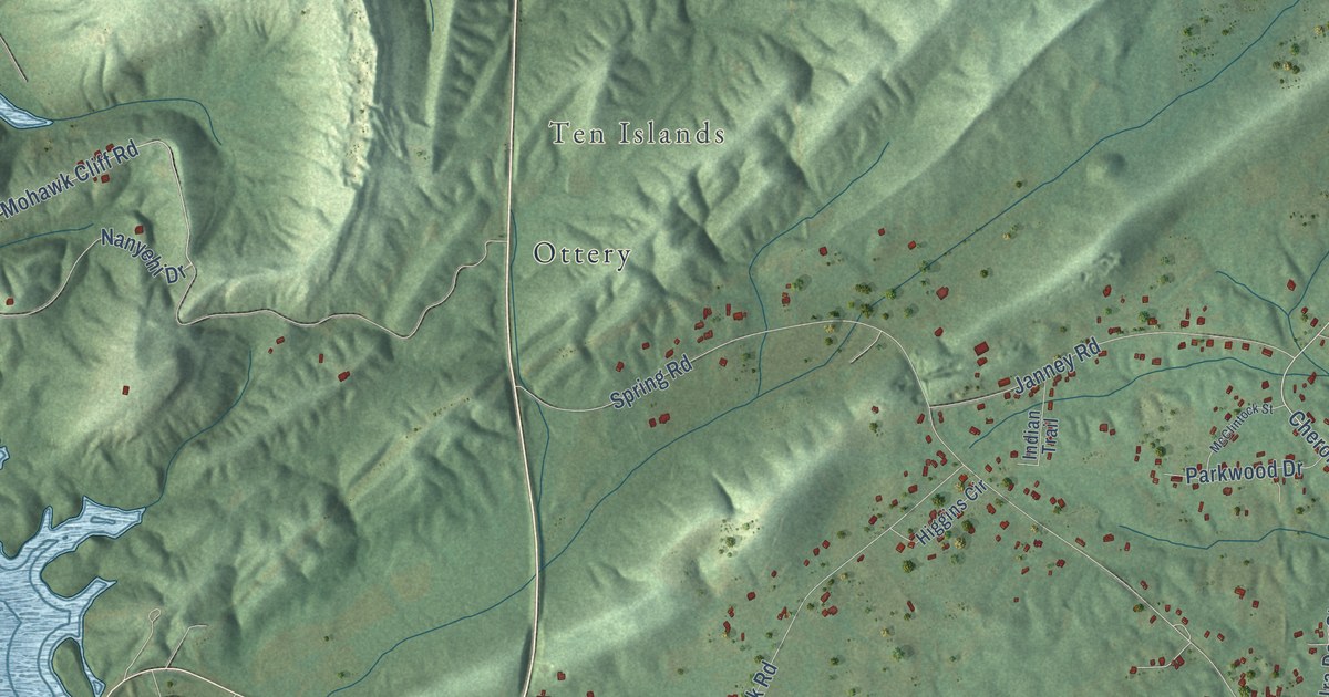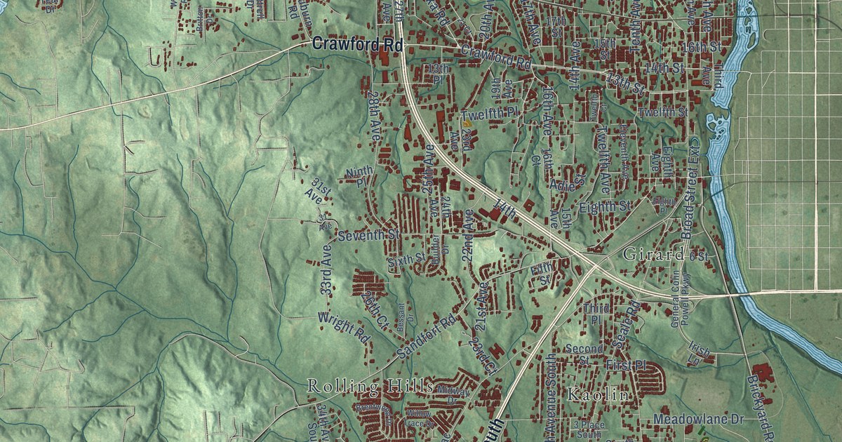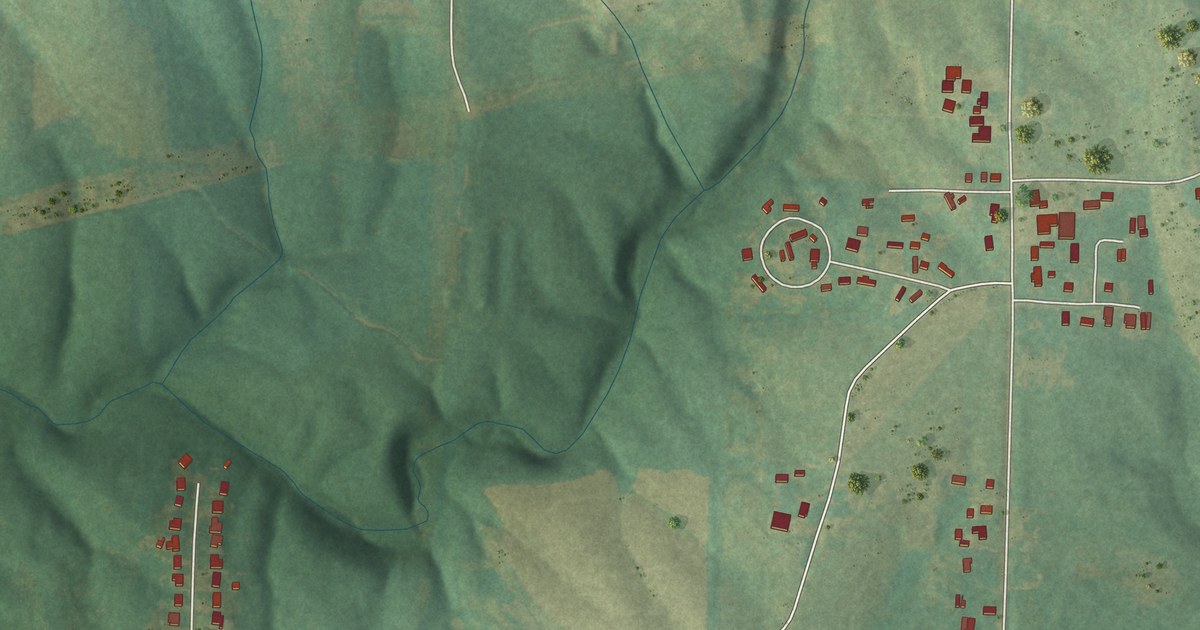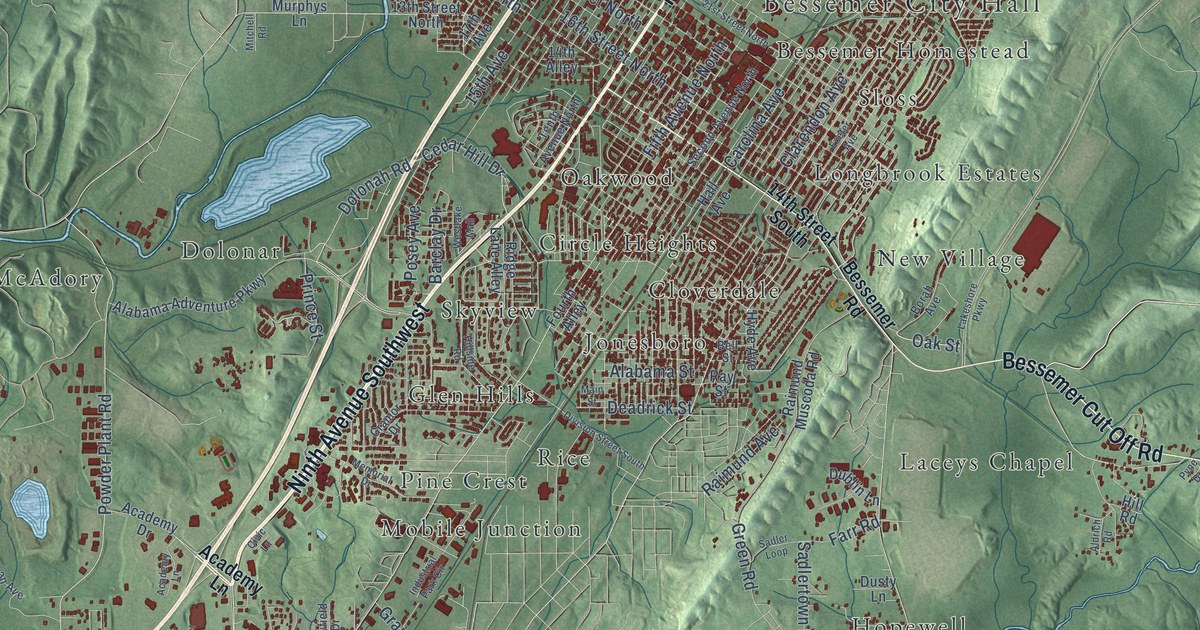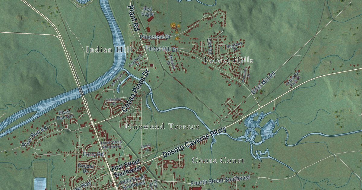
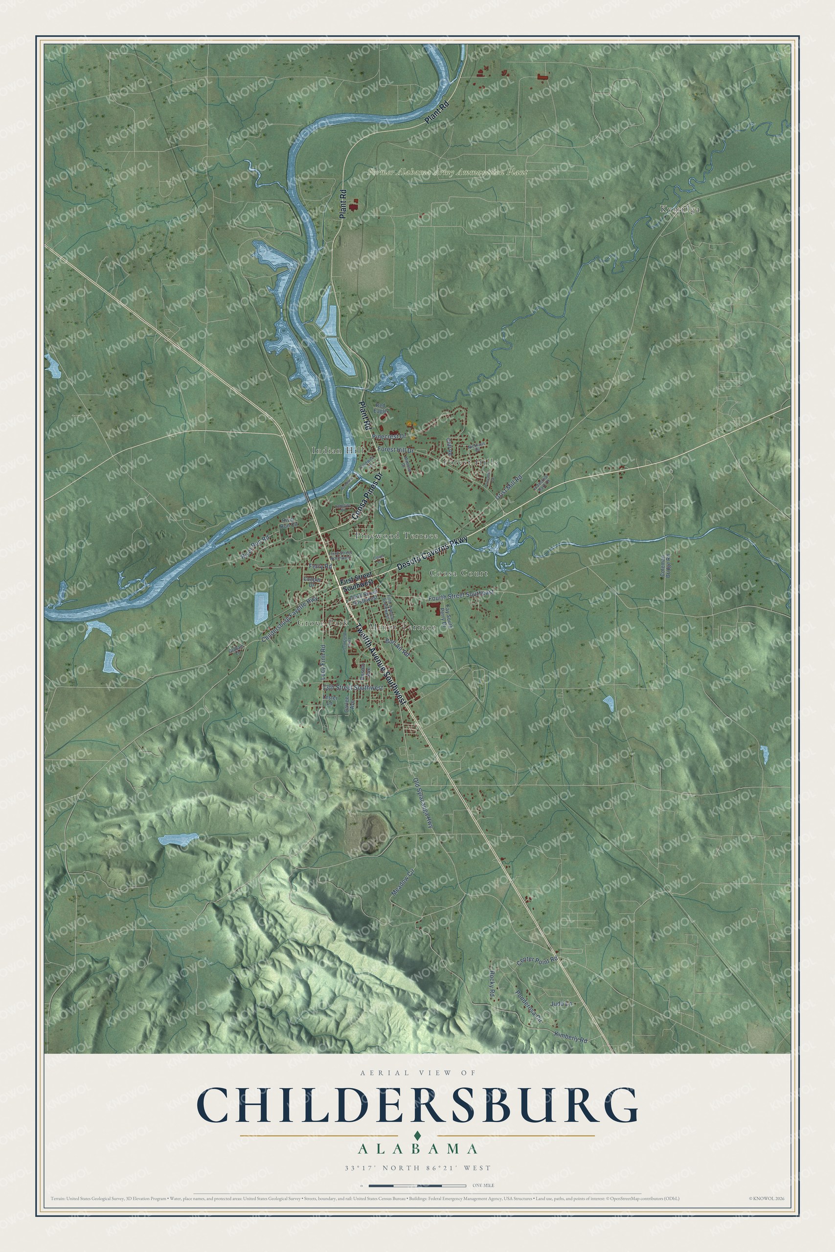
This beautifully detailed map of Childersburg, Alabama was created in 2026 using aerial imagery combined with modern topographical, census, street and landmark data. It's a modern aerial view of Childersburg in Talladega County, Alabama, that combines modern data with a vintage aesthetic. The roads feature printed names, and if you look closely you can find your exact house accurately shown in its correct location.
Explore an aerial view of Childersburg, Alabama
On this map you'll find Former Alabama Army Ammunition Plant, Coosa Court, Forest Hills, Grove Park, Indian Hill, Kymulga, Minor Terrace, Pinewood Terrace, Twelfth Avenue Southwest, Desoto Caverns Parkway, Coosa Pines Drive, Plant Road, and more. Each red shape is a building, so zoom in on the preview and look for yours.
Childersburg has a story worth telling. The record at encyclopediaofalabama.org puts it this way: "The Alabama and Tennessee River Railroad came through the Childersburg area in 1868, allowing businesses to bring their products to market; this line eventually became the Southern Railway."
Childersburg is a city in Talladega County. The Census Bureau counted 4,754 people here in 2020.
Take a closer look at the Childersburg map
Names on this map
These names are printed on this map.
Places: Former Alabama Army Ammunition Plant, Coosa Court, Forest Hills, Grove Park, Indian Hill, Kymulga, Minor Terrace and Pinewood Terrace.
Streets and roads: Twelfth Avenue Southwest, Desoto Caverns Parkway, Coosa Pines Drive, Plant Road, River Run Road, Fourth Street Southeast, Meadow Circle, Old Sylacauga Highway, Lucy Finn Road, Kimberly Road, Forest Hill Drive, Childersburg Fayette Highway.
More street names, A to Z
13th Street Southwest, Bon Air Road, Caldwell Lane, Carlee Avenue, Center Point Road, Cliff Road, Clover Lane, Coleman Bridge Road, Cooper Drive, Desoto Avenue, Ester Williams Lane, Fay South Perry Drive, Ferry Road, Fifth Avenue Southwest, First Street Southwest, Graham Lane, Grist Mill Road, Industrial Park Drive, Judd Lane, Lakeside Drive, Lester Lane, Mimosa Drive, Nicklaus Drive, Pinecrest Drive, Ponderosa Circle, Princeton Drive, Red Eagle, River Run Circle, Rocky Road, Third Street Northwest, Third Street Southwest, Woodside Street.
Created by KNOWOL in 2026. The buildings are small red shapes, the roads carry their printed names, and shaded relief shows the shape of the land. The title panel reads "AERIAL VIEW OF CHILDERSBURG ALABAMA" with 33°17' NORTH 86°21' WEST.
It looks right in a kitchen, an office or a den, and it's a gift for anyone who grew up in Childersburg or moved away. Open the preview and find your street. See sizes and frames for the Childersburg map.