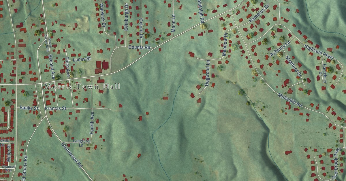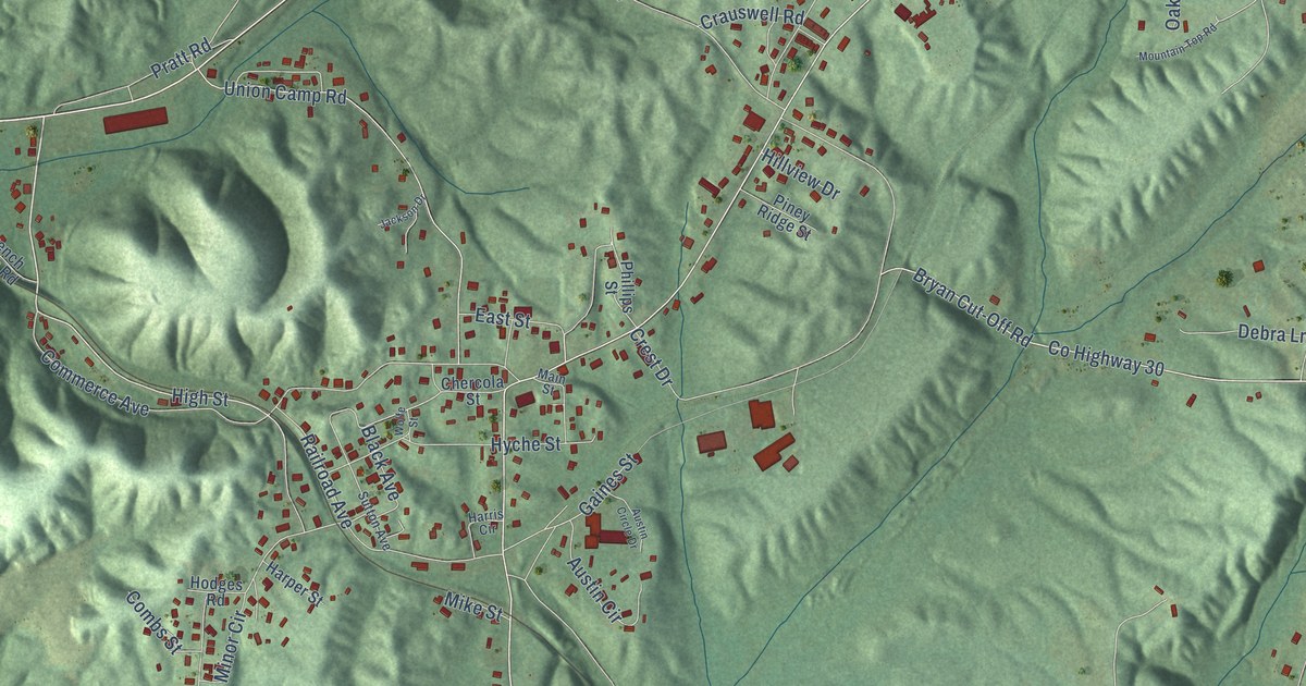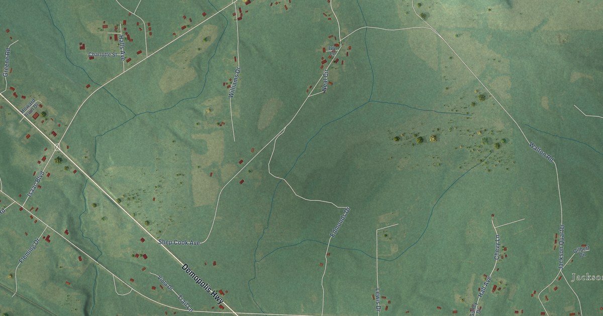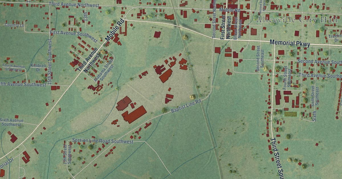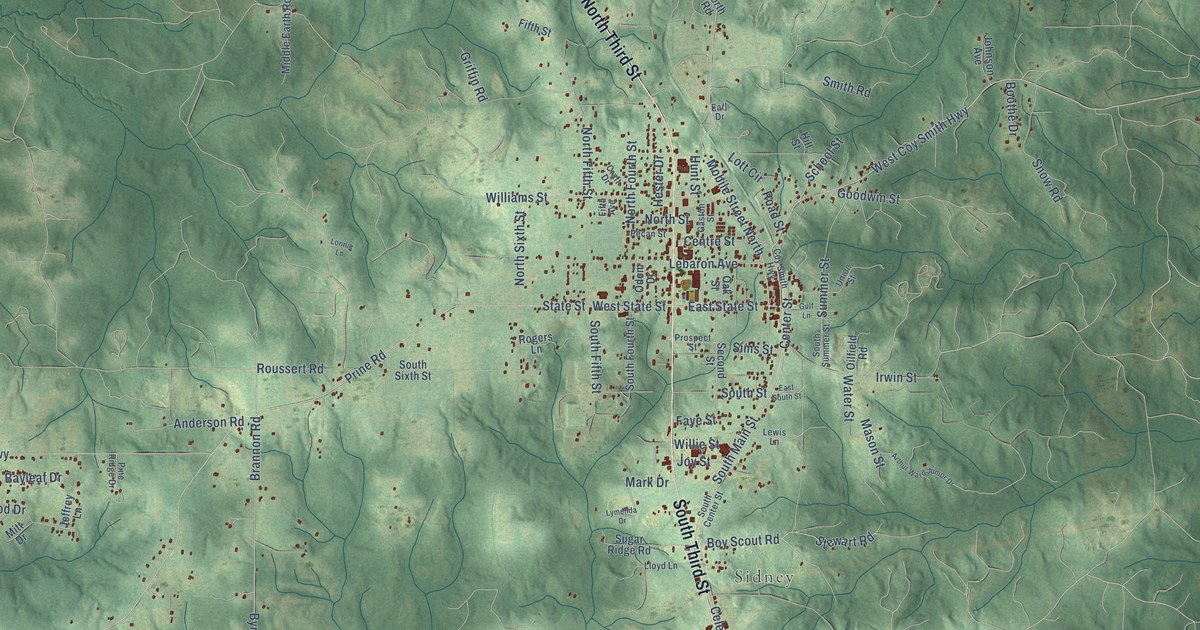
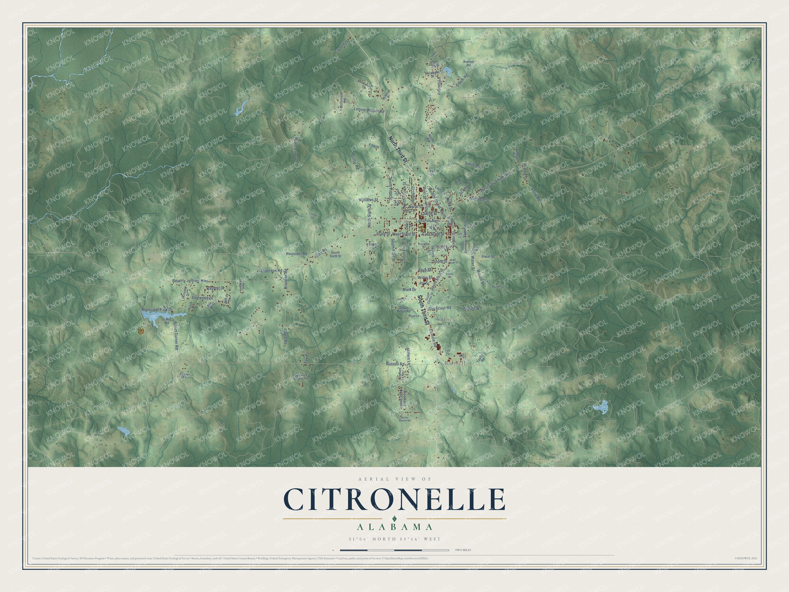
This beautifully detailed map of Citronelle, Alabama was created in 2026 using aerial imagery combined with modern topographical, census, street and landmark data. It's a modern aerial view of Citronelle in Mobile County, Alabama, that combines modern data with a vintage aesthetic. The roads feature printed names, and if you look closely you can find your exact house accurately shown in its correct location.
Explore an aerial view of Citronelle, Alabama
On this map you'll find Russell, Sidney, South Third Street, North Third Street, Center Street, Celeste Road, Odom Road, Mobile Street North, Boy Scout Road, East State Street, Prine Road, State Street, and more. Each red shape is a building, so zoom in on the preview and look for yours.
Here is a piece of Citronelle history, in the words of the record. The record at encyclopediaofalabama.org puts it this way: "Schools in Citronelle are part of the Mobile County School District; the town has one elementary school, one middle school, and one high school."
Citronelle is a city in Mobile County. The Census Bureau counted 3,946 people here in 2020.
Take a closer look at the Citronelle map
Names on this map
These names are printed on this map.
Places: Russell and Sidney.
Streets and roads: South Third Street, North Third Street, Center Street, Celeste Road, Odom Road, Mobile Street North, Boy Scout Road, East State Street, Prine Road, State Street, Stewart Road, South Main Street.
More street names, A to Z
Albert Turner Road, Anderson Road, Arthur Ward Junior Drive, Averett Lane, Averett Road, Bayleaf Drive, Beverly Jeffries Highway, Boothe Drive, Brannon Road, Briarwood Drive, Byrd Road, Centre Street, Country Lane, Coy Smith Highway, Craft Drive, Debbie Lane, Dogwood Drive, Earl Drive, East South Street, Elizabeth Street, Faye Street, Fifth Avenue, Fifth Street, Fox Court, Gaston Street, Goodwin Street, Griffin Road, Gulf Lane, Hester Drive, Hill Street, Hunt Street, Iron Street, Irwin Street, Jeffrey Lane, John Clay Street, Johnson Avenue, Joy Street, Lake Road, Lakeview Drive, Lawerence Williams Road, Lebaron Avenue, Lewis Lane, Lloyd Lane, Lonnie Lane, Lonnie Walker Road, Lott Circle, Lymenda Drive, Mark Drive, Mason Street, McDonald Road, McMillan Road, Middle Earth Road, Millers Lane, Mitt Drive, Municipal Park Drive, North Fifth Street, North Fourth Street, North Road, North Sixth Street, North Street, Oak Street, Odom Drive, Oilfield Road, Pecan Street, Pine Ridge Drive, Prospect Street, Road Street, Rogers Lane, Roussert Road, Russell Road, School Street, Second Street, Sims Street, Smith Road, Snow Road, South Center Street, South Fifth Street, South Fourth Street, South Sixth Street, South Street, South Summer Street, Stagner Road, Sugar Ridge Road, Summer Street, Taylor Road, Union Street, Walter Stewart Road, Water Street, West Coy Smith Highway, West State Street, Williams Street, Willie Street, Wilson Drive, Woodland Drive, Woodland Drive South.
Created by KNOWOL in 2026. The buildings are small red shapes, the roads carry their printed names, and shaded relief shows the shape of the land. The title panel reads "AERIAL VIEW OF CITRONELLE ALABAMA" with 31°06' NORTH 88°14' WEST.
It suits a den, a classroom or a front hall, and it makes a gift for anyone with Citronelle roots. Open the preview and find the block you know. See sizes and frames for the Citronelle map.