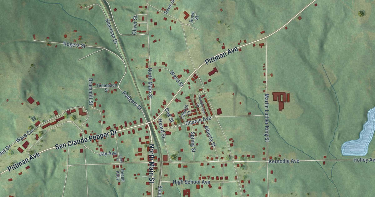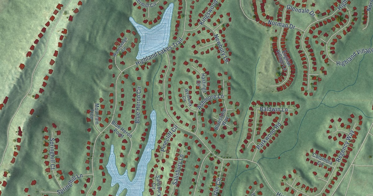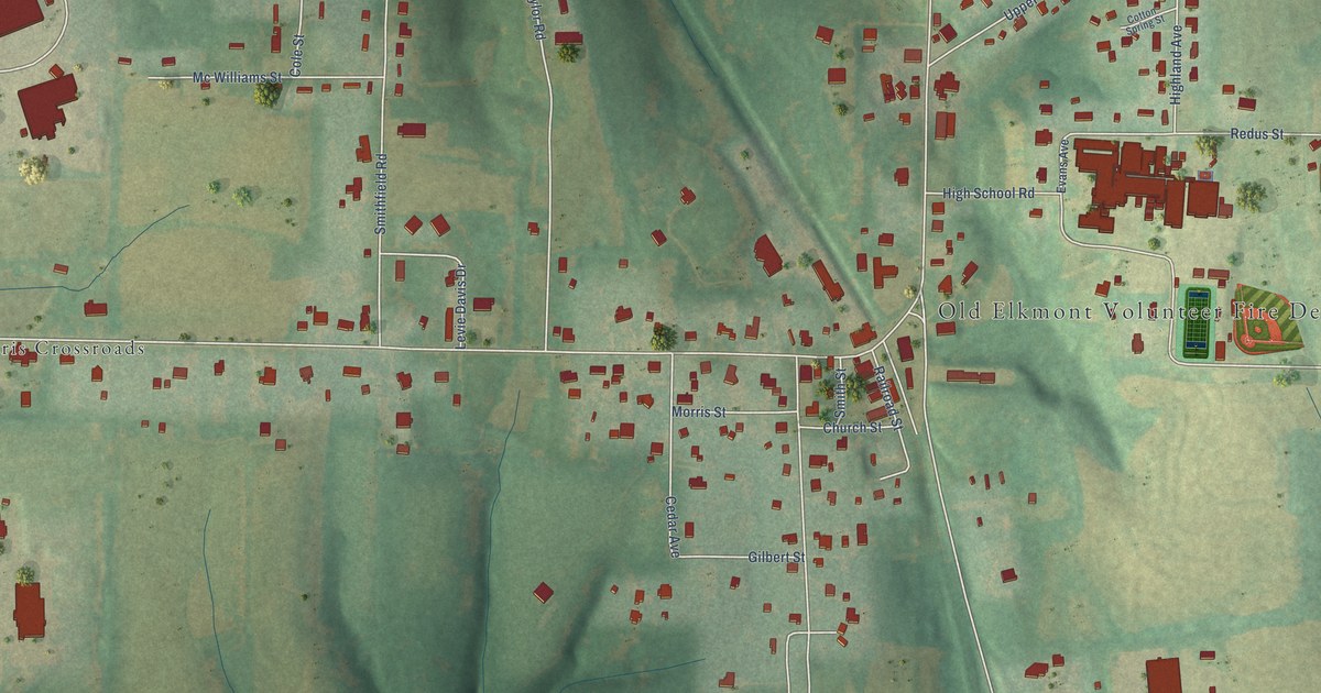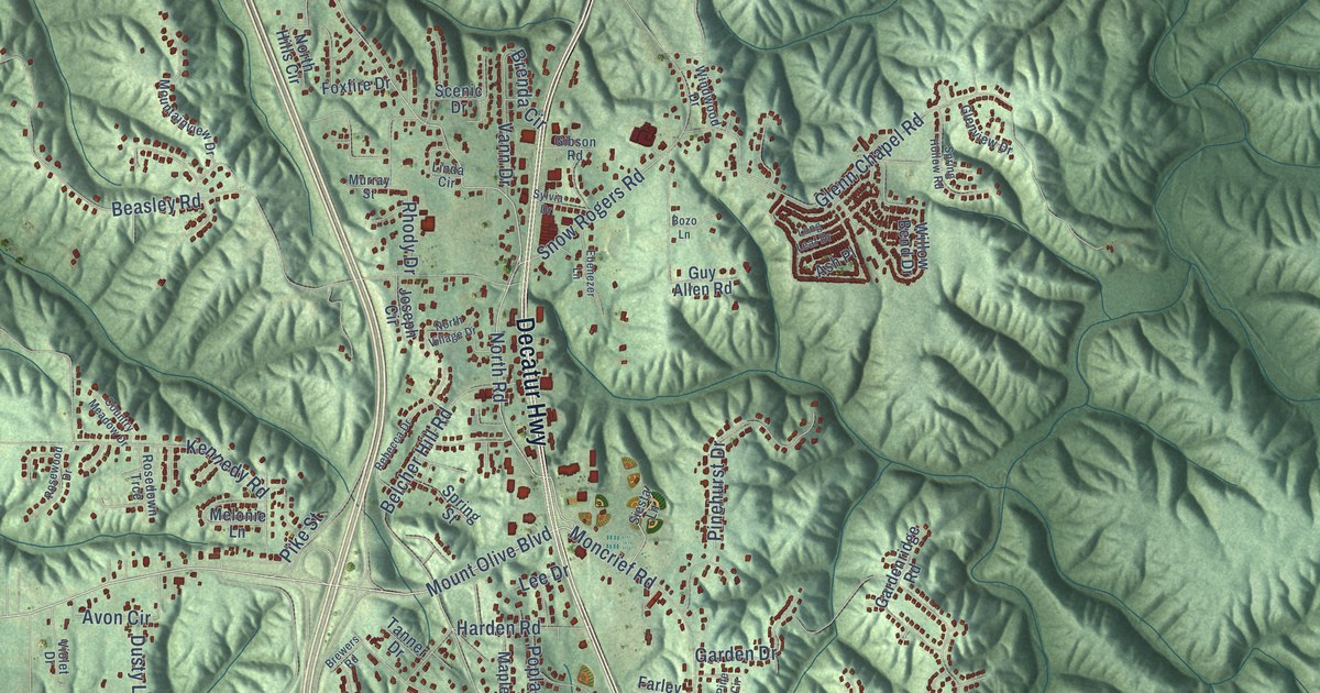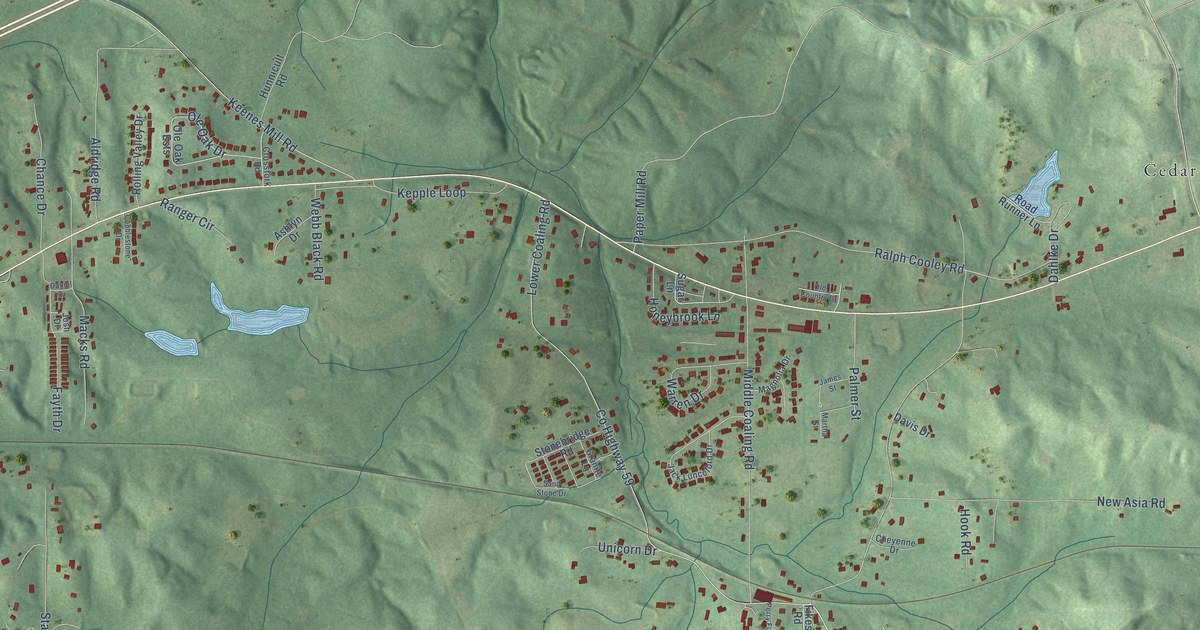
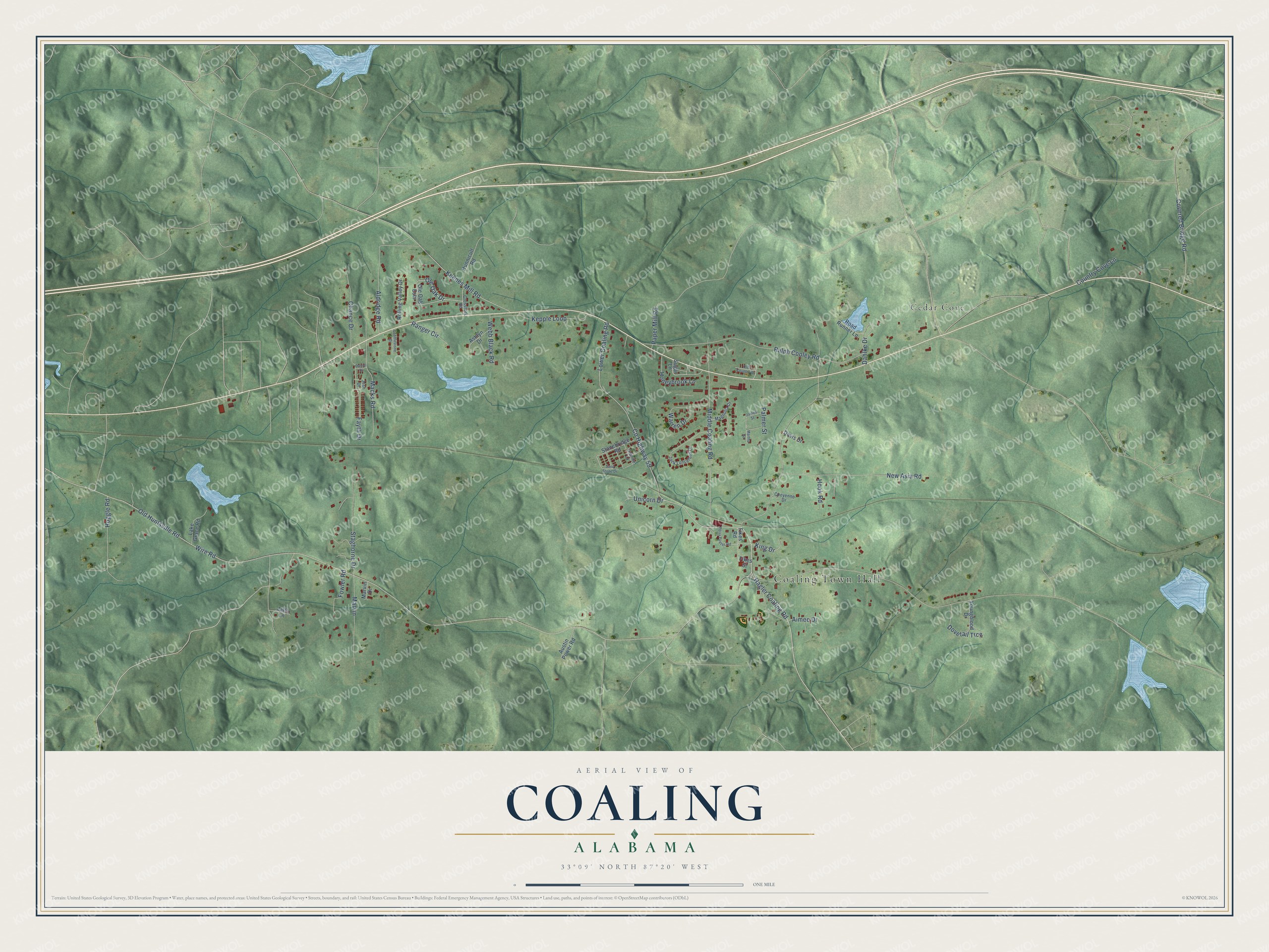
This beautifully detailed map of Coaling, Alabama was created in 2026 using aerial imagery combined with modern topographical, census, street and landmark data. It's a modern aerial view of Coaling in Tuscaloosa County, Alabama, that combines modern data with a vintage aesthetic. The roads feature printed names, and if you look closely you can find your exact house accurately shown in its correct location.
Explore an aerial view of Coaling, Alabama
On this map you'll find Coaling Town Hall, Cedar Cove, Co Highway 59, Wire Road, Hagler Coaling Road, Lower Coaling Road, Ralph Cooley Road, Old Huntsville Road, Middle Coaling Road, New Asia Road, Covered Bridge Road, Keenes Mill Road, and more. Each red shape is a building, so zoom in on the preview and look for yours.
Coaling has a story worth telling. The record at encyclopediaofalabama.org puts it this way: "Coaling's first church was established in 1878 and its first post office opened in 1979."
Coaling is a city in Tuscaloosa County. The Census Bureau counted 2,035 people here in 2020.
Take a closer look at the Coaling map
Names on this map
These names are printed on this map.
Places: Coaling Town Hall and Cedar Cove.
Streets and roads: County Highway 59, Wire Road, Hagler Coaling Road, Lower Coaling Road, Ralph Cooley Road, Old Huntsville Road, Middle Coaling Road, New Asia Road, Covered Bridge Road, Keenes Mill Road, Ole Oak Drive, Staghorne Drive.
More street names, A to Z
Aimee Drive, Aldridge Road, Ashlyn Drive, Austin Power Road, Chance Drive, Cheyenne Drive, Cobblestone Drive, Country Cove Lane, Crossfork Road, Dahlke Drive, Daniel Drive, Davis Drive, Dovetail Trce, Fayth Drive, Fikes Road, Fikes Street, Fowler Road, Granite Lane, Hoggle Road, Honeybrook Lane, Hook Road, Hunnicult Road, Jack Lunceford Drive, Jaffa Lane, James Street, Josh Drive, Kepple Loop, King Drive, Lake Grace Road, Macks Road, Magnolia Drive, Martha Street, Marvin, Marvin Drive, Old Country Drive, Ole Oak Ests, Palmer Street, Paper Mill Road, Perry Foster Road, Ranger Circle, Road Runner Lane, Rolling Valley Drive, Sand Stone Drive, Stonebridge Road, Sugar Lane, Unicorn Drive, Warren Drive, Webb Black Road, Youngblood Drive.
Created by KNOWOL in 2026. The buildings are small red shapes, the roads carry their printed names, and shaded relief shows the shape of the land. The title panel reads "AERIAL VIEW OF COALING ALABAMA" with 33°09' NORTH 87°20' WEST.
It looks right in a kitchen, an office or a den, and it's a gift for anyone who grew up in Coaling or moved away. Open the preview and find your street. See sizes and frames for the Coaling map.