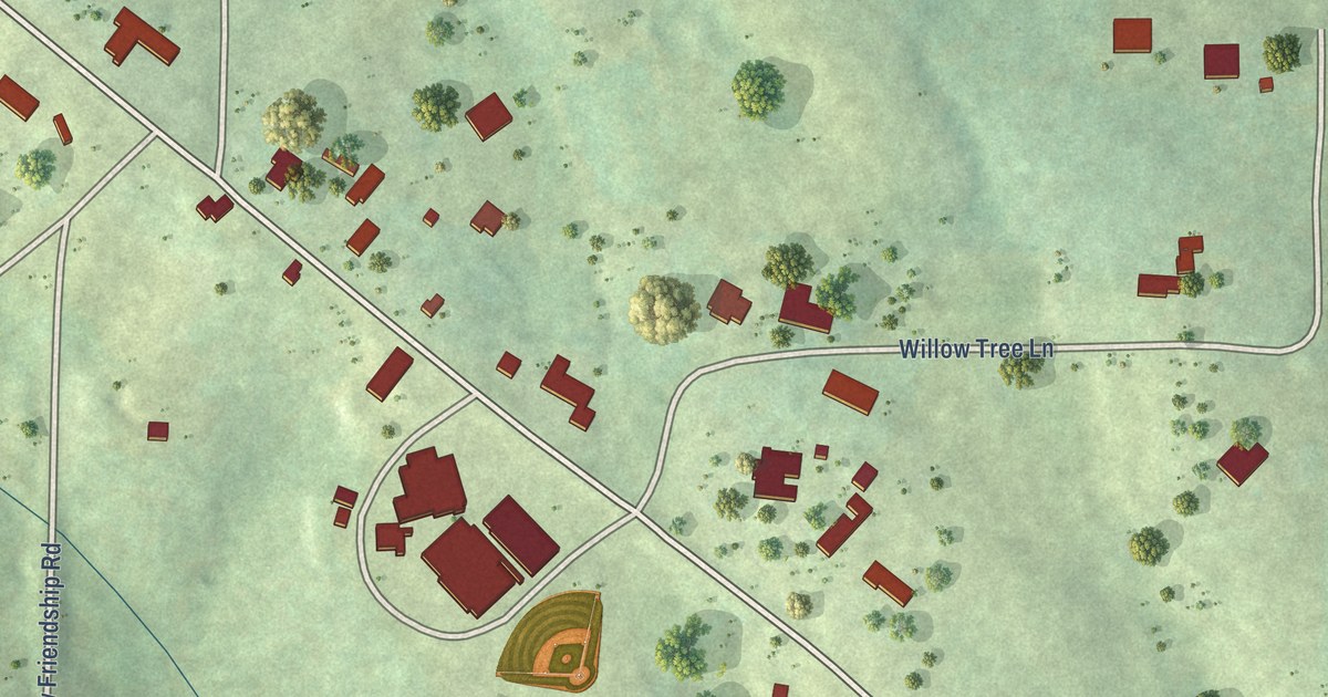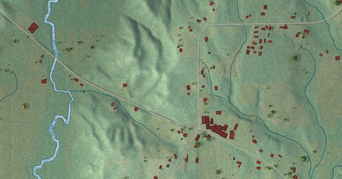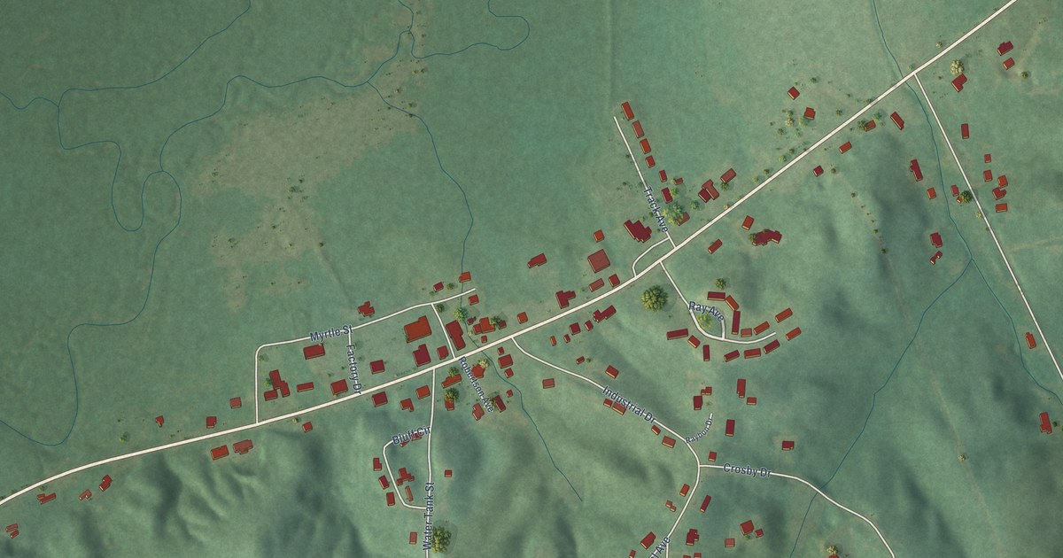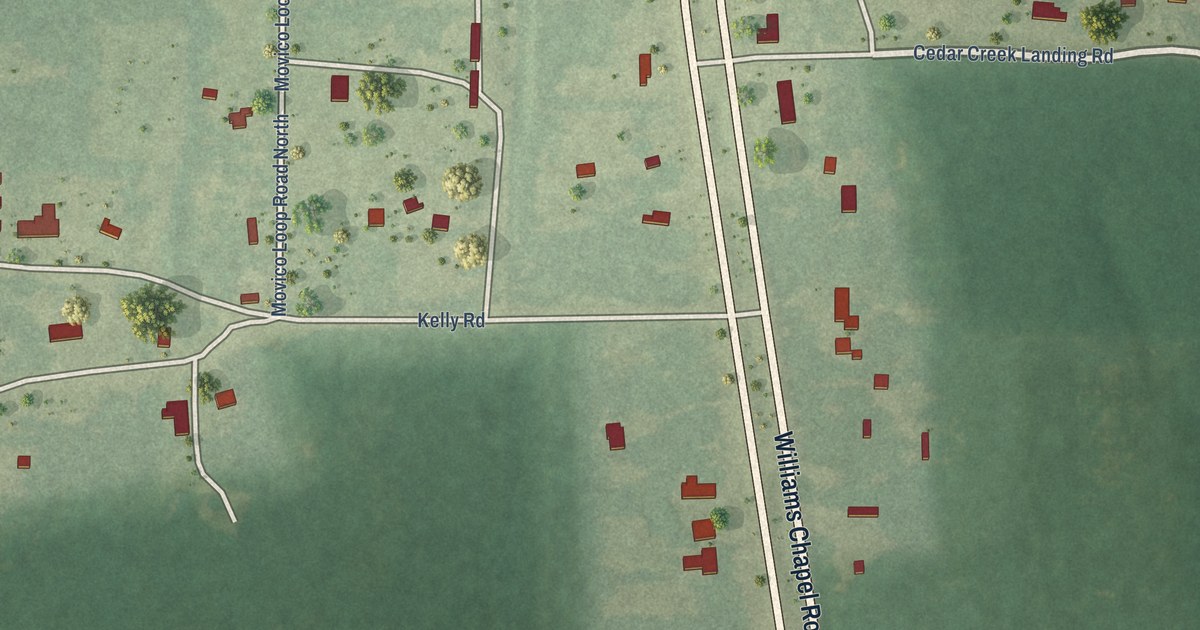
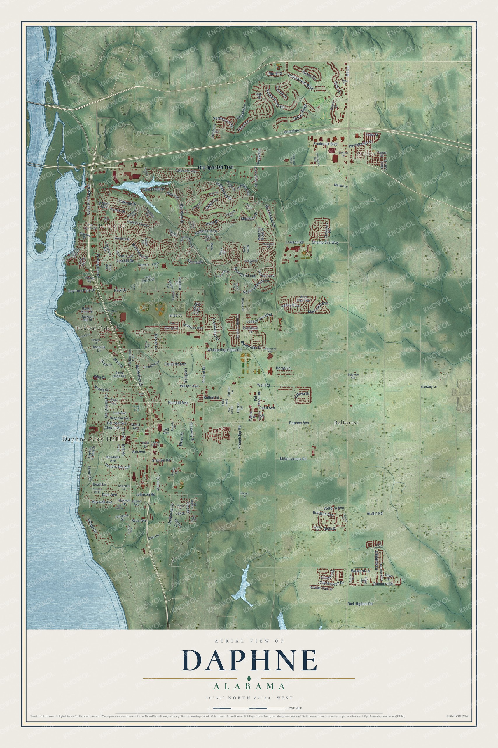
This beautifully detailed map of Daphne, Alabama was created in 2026 using aerial imagery combined with modern topographical, census, street and landmark data. It’s a one-of-a-kind view of Daphne that combines accurate data with a vintage aesthetic. The map shows every building in its true location, many of the roads carry their names, and the shaded topographic relief shows the shape of the land.
Explore an aerial view of Daphne, Alabama
On the map you’ll find Daphne City Hall, Malbis, Belforest, Jackson Oak, and Park City, along with Old Spanish Trail, Ridgewood Drive, Bay View Drive, Lovett Street, Main Street, Lawson Road, Pine Court, and more. If you look closely you can even find your house accurately drawn in its correct location. Zoom in on the preview to look for yours.
Did you know this piece of Daphne, Alabama history?
From Encyclopediaofalabama.org: "During the first half of the nineteenth century, the Daphne area was known by its three landings: Belrose, Hollywood, and Shorts."
Take a closer look at the Daphne map
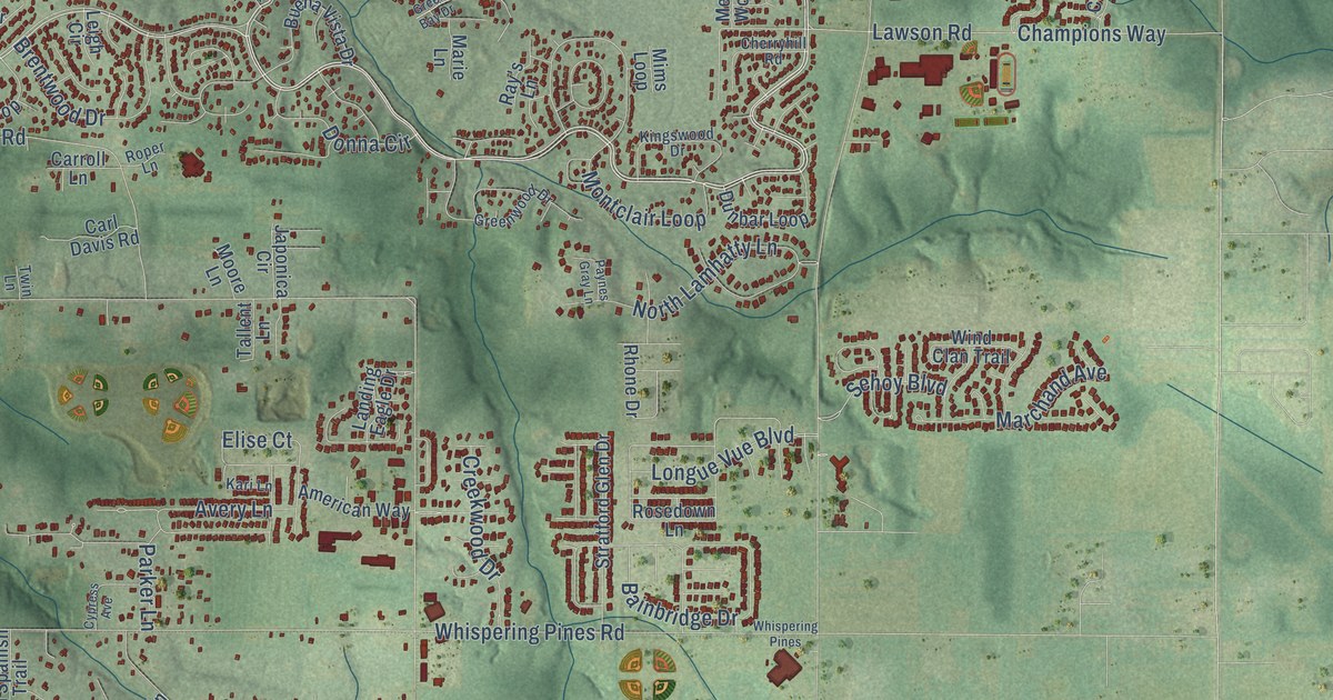
Street and place names on the Daphne, Alabama map
These names are printed on the map of Daphne, Alabama.
Places: Daphne City Hall, Malbis, Belforest, Jackson Oak and Park City.
Streets and roads: Old Spanish Trail, Ridgewood Drive, Bay View Drive, Lovett Street, Main Street, Lawson Road, Pine Court, Champions Way, Daphne Avenue, Pollard Road, Timbercreek Boulevard, Whispering Pines Road.
More street names, A to Z
Acorn Knoll Drive, Adams Avenue, Ahern Drive, American Way, Anchor Cross Boulevard, Ash Court, Aspen Circle, Austin Road, Avery Lane, Bainbridge Drive, Bancroft Lane, Bayfront Park Drive, Bayview Drive, Beall Lane, Belgrove Avenue, Bella Drive, Bellaton Avenue, Bellue Lane, Belrose Avenue, Berga Lane, Beverly Drive, Brentwood Drive, Broadmoor Drive, Buena Vista Drive, Camberwell Drive, Camellia Lane, Canterbury Road, Capital Drive, Captain O'Neal Drive, Cardinal Lane, Carl Davis Road, Caroline Avenue, Carroll Lane, Cedar Drive, Cherryhill Road, Church Street, Cobham Park Drive, Colonial Plaza Drive, Conaway Street, Conway Lane, Country Club Drive, Creekwood Drive, Cumbria Drive, Cypress Avenue, D'Olive Boulevard, Dale Road, Daphmont Drive, Deer Avenue, Dewitt Circle, Dick Higbee Road, Dimitrios Avenue, Dolive Ridge, Donette Loop, Donna Circle, Douglas Road, Dublin Drive, Dunbar Loop, Dunmore Drive, Durnford Hill Court, East Bay Drive, Elderberry Drive, Elise Court, Equity Drive, Essex Street, Estia Street, Fairway Drive, Ferncliff Circle, Fifth Street, Fionn Loop, Flynt Drive, Frederick Boulevard, Friendship Road, Gaskin Lane, Gilmore Way, Gipson Lane, Glover Lane, Golf Terrace, Grays Lane, Green Bay Drive, Green Court, Greenwood Drive, Haleys Lane, Halls Lane, Harbor Place Drive, Hartford Avenue, Hillcrest Circle, Hillwood Drive, Holy Cross Drive, Hope Drive, Irwin Loop, Jackson Oak Drive, Japonica Circle, Johnson Road, Jones Street, Jordan Road, Kari Lane, Kasey Court, Kingswood Drive, Lake Front Drive, Lakeview Loop, Lancaster Way, Landing Eagle Drive, Laurel Court, Lea Avenue, Leigh Circle, Lett Avenue, Leyland Lane, Limerick Lane, Locke Lane, Longue Vue Boulevard, Magnolia Avenue, Malbis Lane, Manci Avenue, Marchand Avenue, Marie Lane, Marikesh Drive, Maxwell Avenue, Maxwell Drive, McAdams Avenue, McPhillips Drive, Meadow Wood Drive, Michael Loop, Middle Creek Circle, Mill Lane, Milton Jones Road, Mims Loop, Monroe Street, Montclair Loop, Moore Lane, North Court, North Lamhatty Lane, North Main Street, Oak Bluff Drive, Oak Street, Old County Road, Ottawa Drive, Papageorge Street, Papas Street, Park Drive, Parker Lane, Parkwood Avenue, Parma Drive, Paynes Gray Lane, Pecan Street, Penny Lane, Persimmon Drive, Pinehill Road, Pine Run, Pine Street, Polo Trce, Potters Mill Avenue, Profit Drive, Pub Works Road, Randall Avenue, Rand Avenue, Ray's Lane, Renaissance Boulevard, Rhone Drive, Rolling Hill Circle, Rolling Hill Drive, Roper Lane, Rosedown Lane, Ryan Avenue, Saint John Street, Santa Rosa Avenue, Schiefflin Lane, Schooley Circle, Sehoy Boulevard, Sixth Street, Stanton Road, Stone Drive, Stratford Glen Drive, Tallent Lane, Third Avenue, Timber Circle, Tomrick Circle, Tullamore Drive, Twin Lane, US 98 Frontage Road, Van Avenue, Van Buren Street, Villa Drive, Village Drive, Volterra Avenue, Wal-Mart Drive, Warren Drive, Well Road, Wexford Lane, Whispering Pines, Whiting Court, Wilson Avenue, Wind Clan Trail, Windsor Drive, Woodrow Lane, Woodside Drive, Worchester Drive, Yacht Club Drive, Zoeller Lane.
See the Daphne, Alabama map on a wall
The Daphne map as an 18 x 24 inch print in a black frame.

This beautifully detailed map of Daphne makes an attractive addition to your office, library, or den, and it can even be used to teach children the geography and history of the area. It also makes a great gift for anyone with Daphne roots. When you’re done exploring, click here to get your copy of the Daphne map.