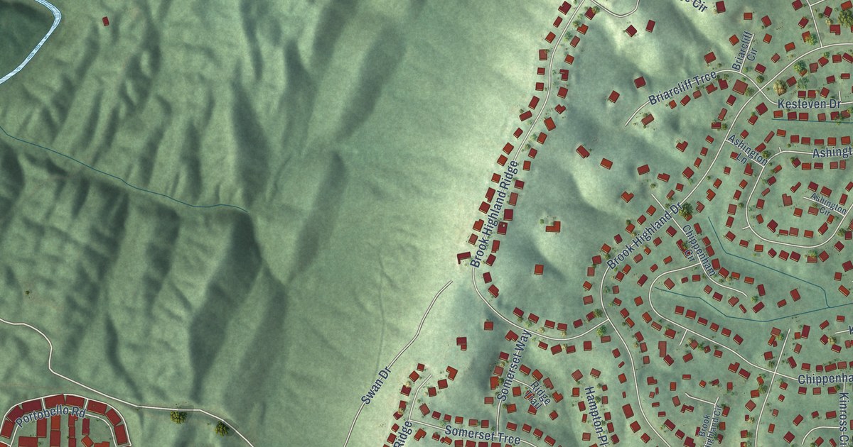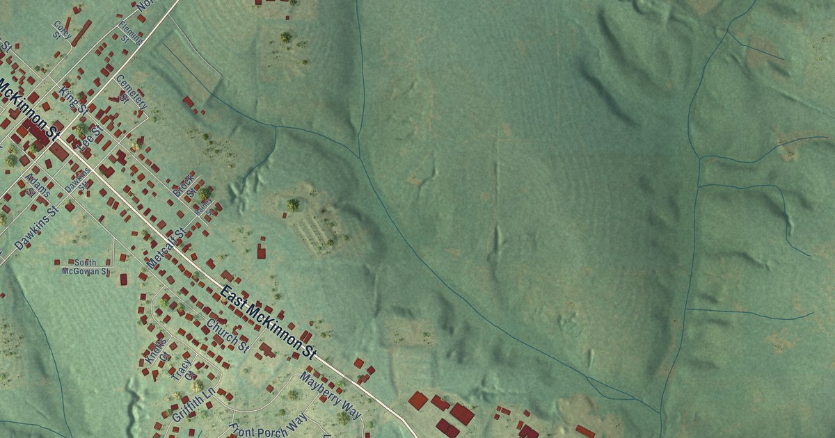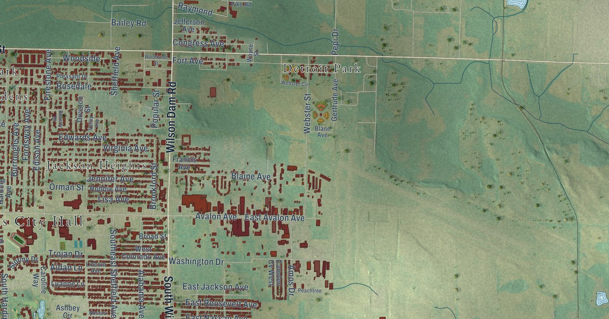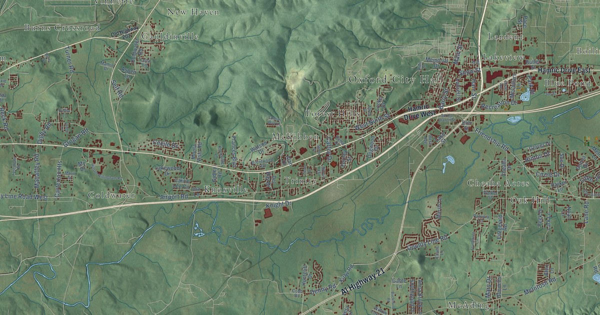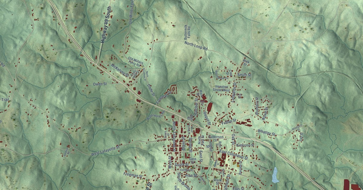
This beautifully detailed map of Dadeville, Alabama was created in 2026 using aerial imagery combined with modern topographical, census, street and landmark data. It's a modern aerial view of Dadeville in Tallapoosa County, Alabama, that combines modern data with a vintage aesthetic. The roads feature printed names, and if you look closely you can find your exact house accurately shown in its correct location.
Explore an aerial view of Dadeville, Alabama
On this map you'll find North Dadeville, Tallassee Street, Highway 49 South, Horseshoe Bend Road, Whatley Street, Spring Street, Stave Mill Road, Old Susanna Road, Old Miller Ferry Road, Mullican Loop, Lafayette Street, Depot Street, and more. Each red shape is a building, so zoom in on the preview and look for yours.
Every town has a first chapter, and Dadeville is no exception. The record at encyclopediaofalabama.org puts it this way: "Dadeville has the distinction of being the location of Alabama's first medical school, the Graefenberg Medical Institute , which operated from 1852 until the outbreak of the Civil War; attempts to rehabilitate the school after the war failed, and the building burned in 1873."
Dadeville is a city in Tallapoosa County. The Census Bureau counted 3,084 people here in 2020.
Take a closer look at the Dadeville map
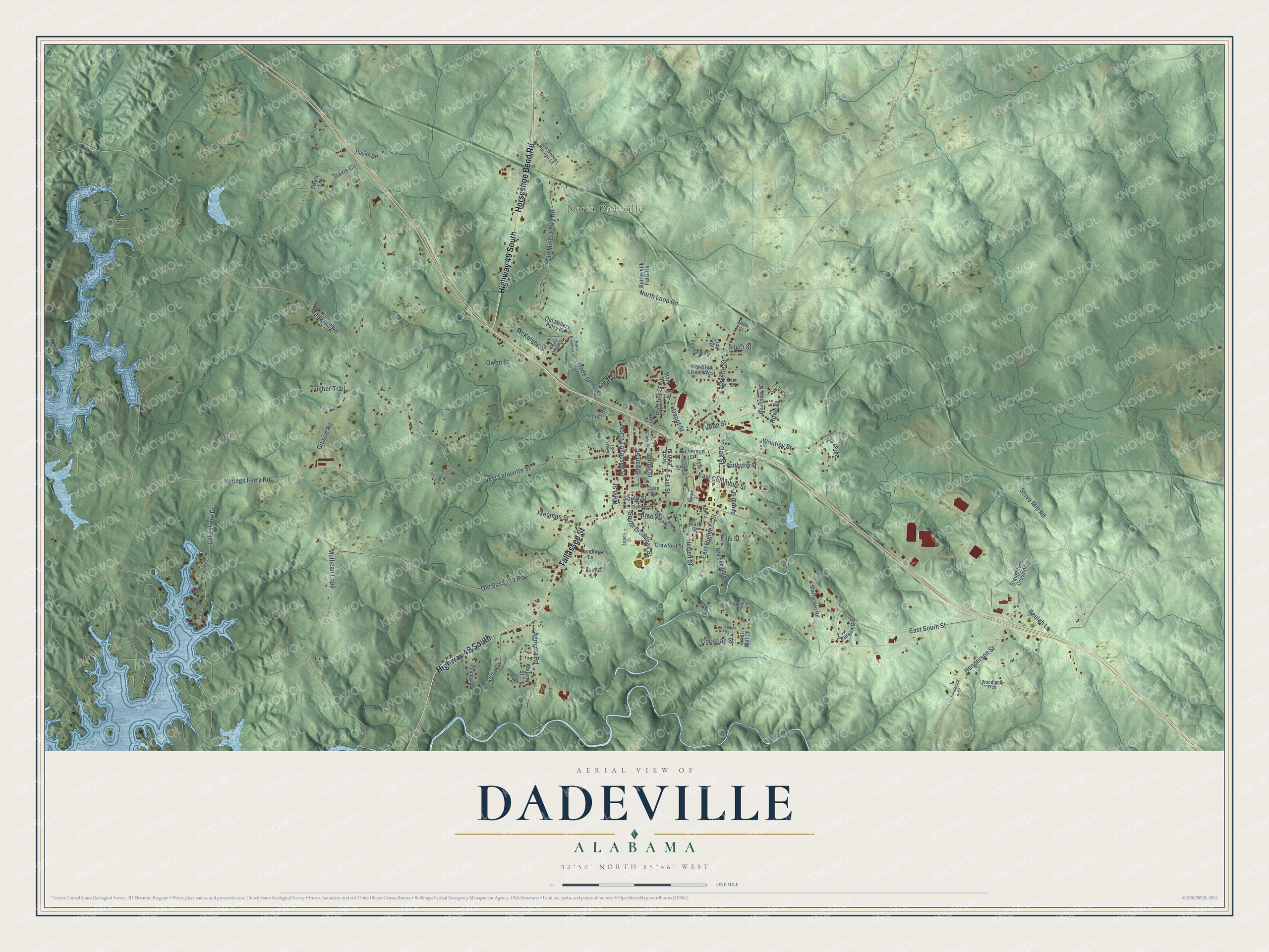
Names on this map
These names are printed on this map.
Places: North Dadeville.
Streets and roads: Tallassee Street, Highway 49 South, Horseshoe Bend Road, Whatley Street, Spring Street, Stave Mill Road, Old Susanna Road, Old Miller Ferry Road, Mullican Loop, Lafayette Street, Depot Street, North Tallassee Street.
More street names, A to Z
Abilene Street, Adair Drive, Adams Street, Agricola Road, Aster Street, Barrett Street, Bartlett Street, Beulah Lane, Blueberry Street, Bobo Street, Brookwood Circle, Bryan Street, Buttermilk Falls Road, Cardinal Road, Cass Street, Cedar Hills Drive, Christian Street, Clark Street, Clay Drive, College Street, Crawford Street, Crestview Street, Culberson Street, Dade Street, Davis Circle, Davis Lane, Day Street, Dink Street, East Columbus Street, East Highland Street, East South Street, East Street, Ellis Street, Evers Street, Freeman Drive, Freeman Street, Fulton Street, Gibson Road, Goodman Road, Gray Street, Grist Mill Court, Hatcher Street, Hayes Drive, Henderson Drive, Henderson Street, Herren Street, Hewsten Street West, Jah Street, Lakeshore Drive, Landing Lane, Lanita Lane, Leach Street, Legion Street, Lett Street, Madwind Road, Main Street, Mariarden Road, McKelvey Street, North Broadnax Street, North East Street, North Loop Road, North Spring Street, Oak Street, Old Millers Ferry Road, Old Scout Road, Old Wooden Bridge Lane, Owen Street, Patterson Street, Pearson Circle, Pine Street, Reeder Road, Rowe Street, Slaughters Crossing, Smith Street, South Broadnax Street, South Street, Tahoe Court, Timber Trail, Waterworks Road, Weldon Street, West Lafayette Street, West Street, Woodland Trce, Woodyard Street, Youngs Ferry Road.
Created by KNOWOL in 2026. The buildings are small red shapes, the roads carry their printed names, and shaded relief shows the shape of the land. The title panel reads "AERIAL VIEW OF DADEVILLE ALABAMA" with 32°50' NORTH 85°46' WEST.
Hang it in the hallway, the office or the cabin, or give it to someone who left Dadeville and still calls it home. Open the preview and look for a street you know. See sizes and frames for the Dadeville map.