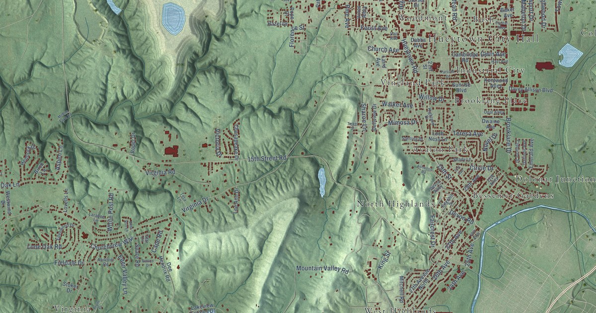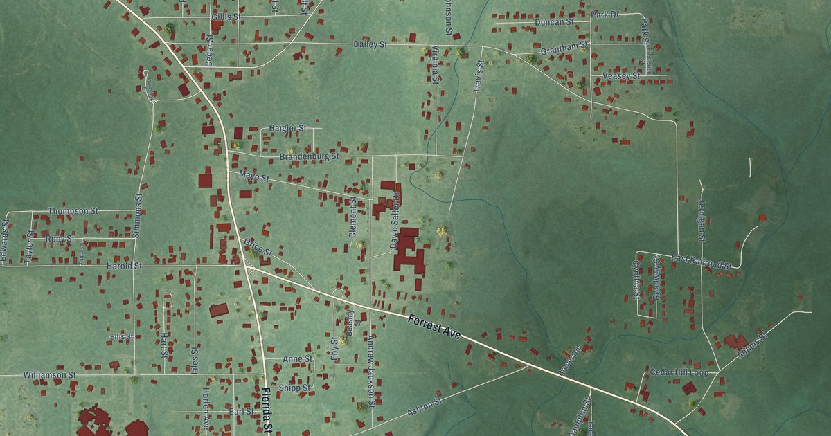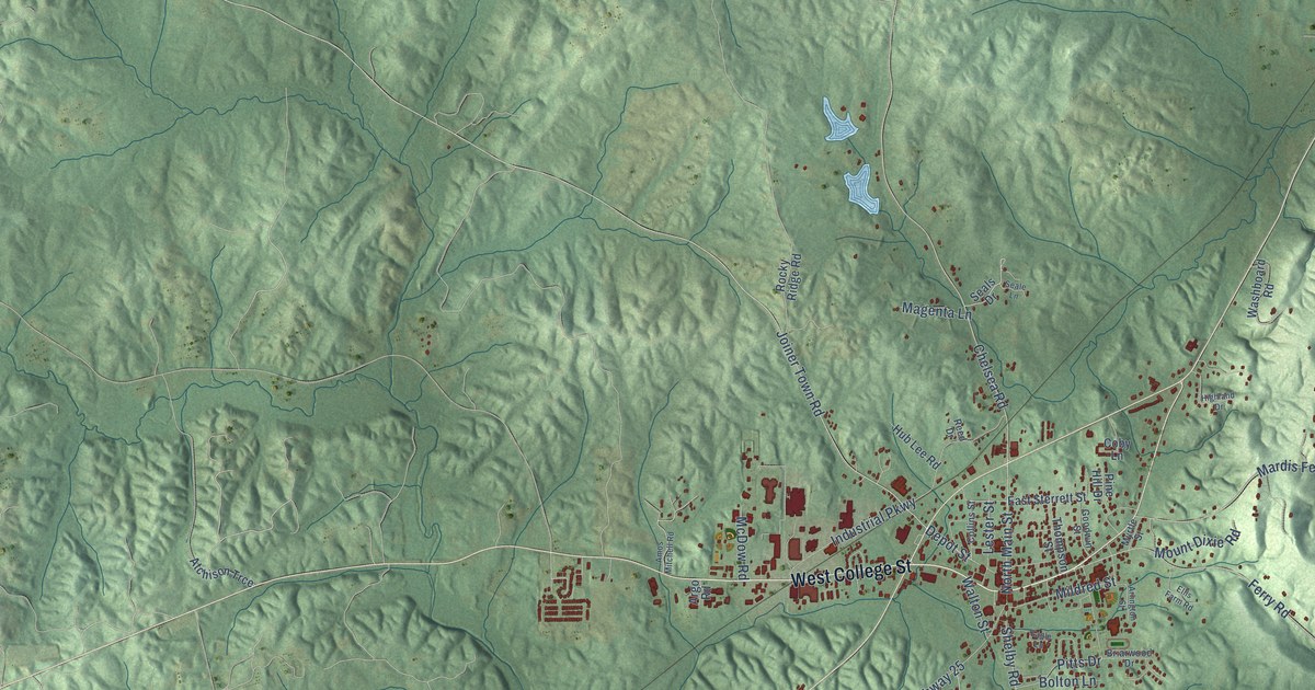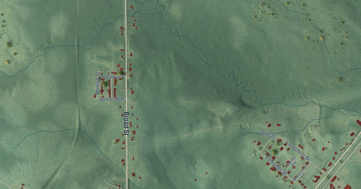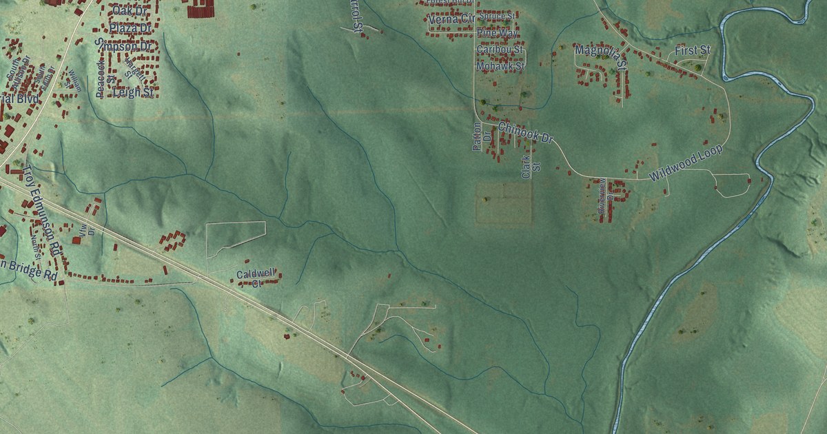
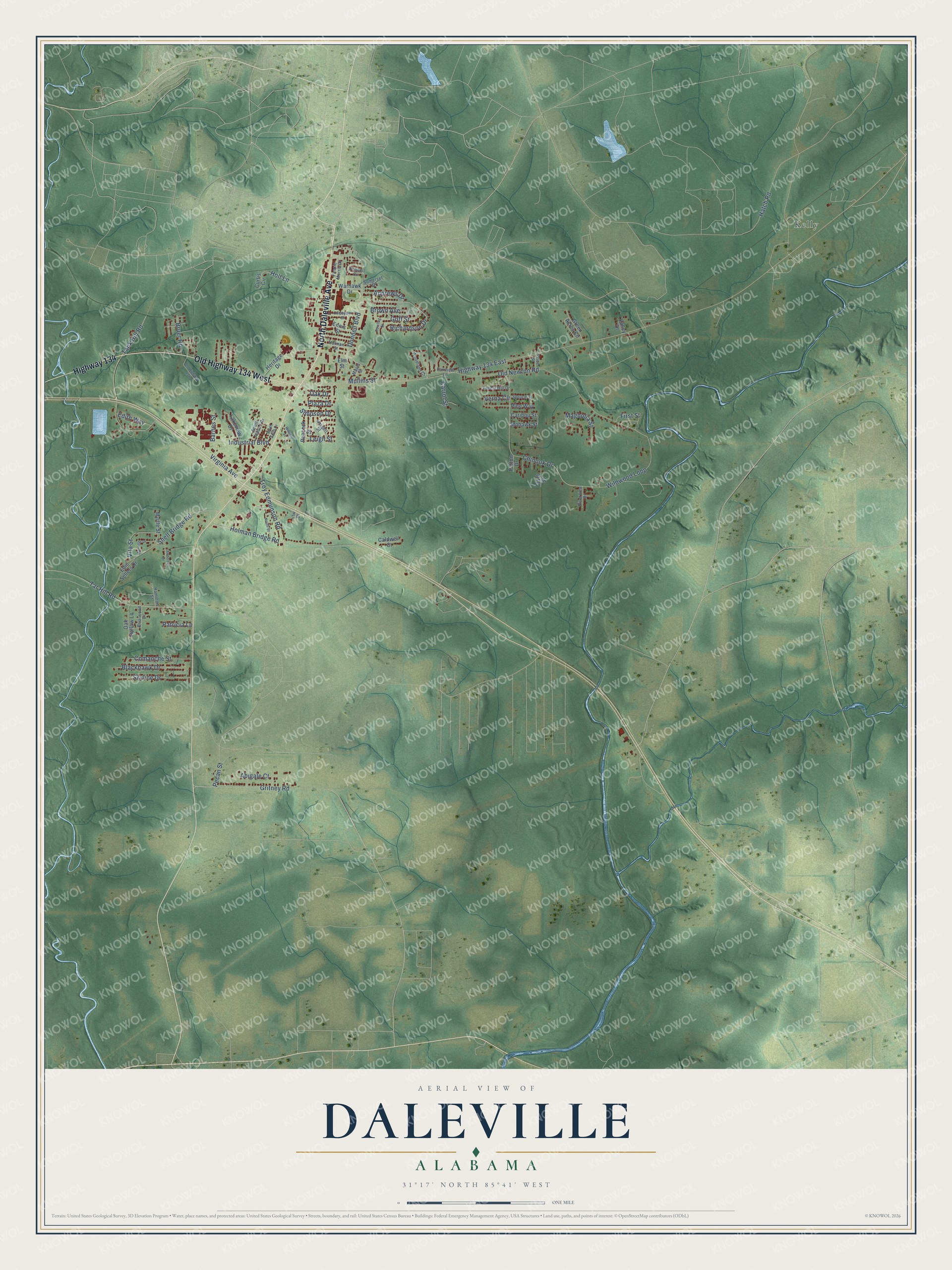
This beautifully detailed map of Daleville, Alabama was created in 2026 using aerial imagery combined with modern topographical, census, street and landmark data. It's a modern aerial view of Daleville in Dale County, Alabama, that combines modern data with a vintage aesthetic. The roads feature printed names, and if you look closely you can find your exact house accurately shown in its correct location.
Explore an aerial view of Daleville, Alabama
On this map you'll find Kelly, North Daleville Avenue, Old Highway 134 West, Highway 134, Pecan Street, Gritney Road, Highway 134 East, Old Newton Road, Wildwood Loop, Industrial Boulevard, Chinook Drive, Donnell Boulevard, and more. Each red shape is a building, so zoom in on the preview and look for yours.
Here is a piece of Daleville history, in the words of the record. The record at encyclopediaofalabama.org puts it this way: "Daleville Cultural and Convention Center In 1900, a railroad spur ran into the town, and it briefly became a cotton shipping center because of the existence of two cotton gins in the area."
Daleville is a city in Dale County. The Census Bureau counted 4,866 people here in 2020.
Take a closer look at the Daleville map
Names on this map
These names are printed on this map.
Places: Kelly.
Streets and roads: North Daleville Avenue, Old Highway 134 West, Highway 134, Pecan Street, Gritney Road, Highway 134 East, Old Newton Road, Wildwood Loop, Industrial Boulevard, Chinook Drive, Donnell Boulevard, Holman Bridge Road.
More street names, A to Z
Abigale Court, Anderson Drive, Andrews Drive, Barnes Street, Blackhawk Drive, Briarwood Drive, Brown Avenue, Bruer Road, Caldwell Court, Caribou Street, Carrol Street, Clark Street, Comanche Street, Culpepper Street, Curtis Circle, Donnell Circle, Dowling Street, Edie Sellers Drive, Edith Way, Elm Street, Ennis Street, Fairview Lane, Fannie Morris Drive, First Street, Forest Hill Drive, Goff Street, Green Acres Circle, Hamilton Street, Hargett Street, Hatch Road, Heritage Drive, Holman Street, Holt Lane, Lakeview Drive, Leigh Street, Magnolia Street, Maple Street, Marnette Drive, Mohawk Street, Mullins Street, Myrtle Street, North Street, Oak Drive, Oak Hollow Lane, Old Highway 134, Patricia Lane, Patton Drive, Peacock Street, Pine Way, Plaza Drive, Price Street, Richardson Drive, Riverview Drive, Simpson Drive, Skyline Drive, Snell Bridge Road, Somerset Drive, South Allison Drive, South Edith Drive, Spruce Street, Tank Hill Road, Tar Hill Road, Troy Edmunson Road, Valley Drive, Verna Circle, Vfw Drive, Virginia Avenue, Vita Street, Warhawk Drive, William Street, Woodland Court.
Created by KNOWOL in 2026. The buildings are small red shapes, the roads carry their printed names, and shaded relief shows the shape of the land. The title panel reads "AERIAL VIEW OF DALEVILLE ALABAMA" with 31°17' NORTH 85°41' WEST.
It suits a den, a classroom or a front hall, and it makes a gift for anyone with Daleville roots. Open the preview and find the block you know. See sizes and frames for the Daleville map.