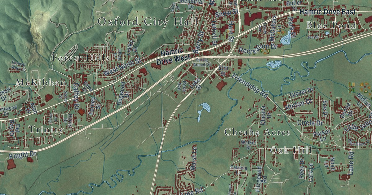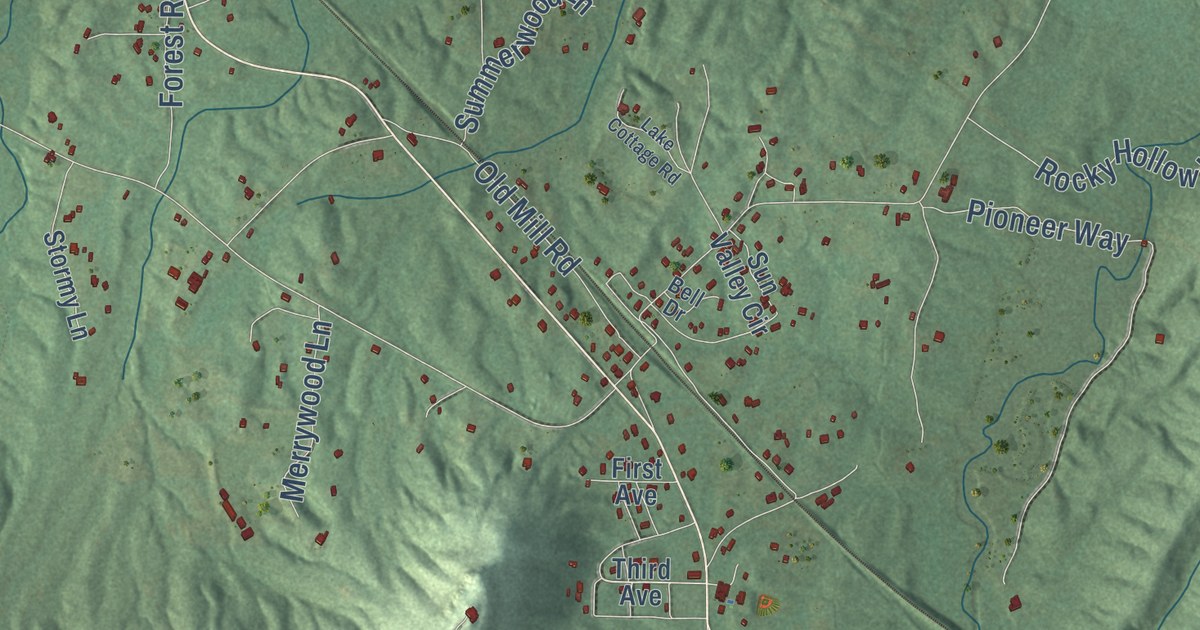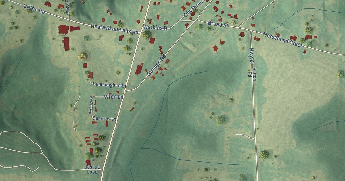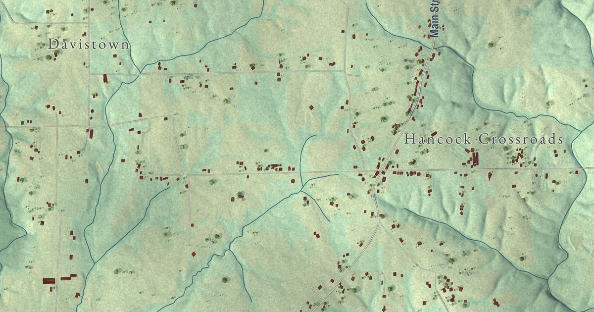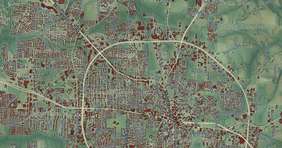
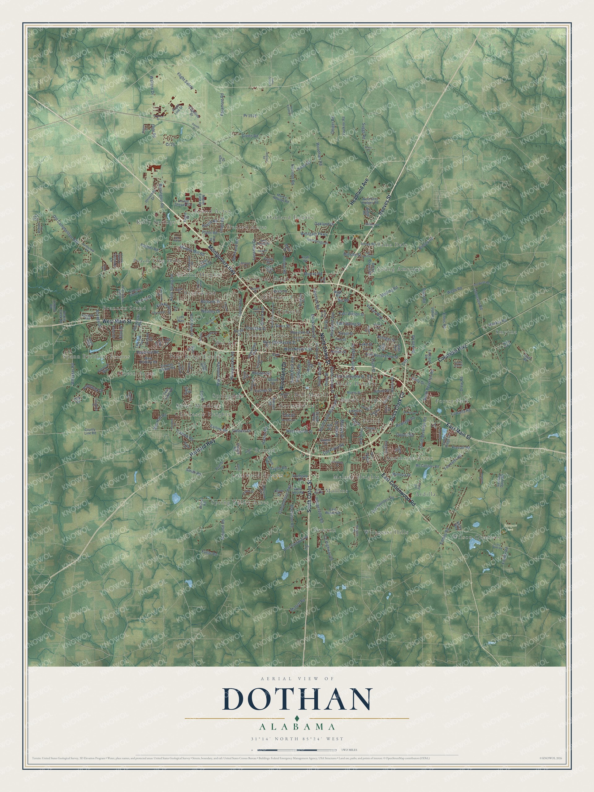
This beautifully detailed map of Dothan, Alabama was created in 2026 using aerial imagery combined with modern topographical, census, street and landmark data. It’s a one-of-a-kind view of Dothan that combines accurate data with a vintage aesthetic. The map shows every building in its true location, many of the roads carry their names, and the shaded topographic relief shows the shape of the land.
Explore an aerial view of Dothan, Alabama
On the map you’ll find Eastgate Park, Ardilla, Bama Dale, Barrett, Bel Air, Bell-Merrill, Brannon Stand, Brentwood, Brown Estates, Chickasaw Heights, Denton Acres, Forest Park, and more. If you look closely you can even find your house accurately drawn in its correct location. Zoom in on the preview to look for yours.
Did you know this piece of Dothan, Alabama history?
From Encyclopediaofalabama.org: "In 1903, Dothan became the seat of Houston County, the 67th and last county incorporated in Alabama."
Take a closer look at the Dothan map
Street and place names on the Dothan, Alabama map
These names are printed on the map of Dothan, Alabama.
Places: Eastgate Park, Ardilla, Bama Dale, Barrett, Bel Air, Bell-Merrill, Brannon Stand, Brentwood, Brown Estates, Chickasaw Heights, Denton Acres, Forest Park, Glenwood, Grand Acres, Green Acres, Griffin Heights, Kelly Springs, Lakewood Estates, Lamont Court, Melody Heights, Mullins, Newton, Normandale, Oakland Estates, Parish, Peach Tree Hills, Pine Ridge Estates, Shady Heights, Silver Meadows, Smyrna, Southside Acres, Spann Brothers Estates, Spring Valley Acres, Springdale, Sullivan Heights, Tidwell, Wilson Quarters, Wiregrass Hills and Young America.
Streets and roads: West Main Street, Montgomery Highway, East Main Street, Reeves Street, South Oates Street, East Cottonwood Road, Ross Clark Circle, Columbia Highway, Headland Avenue, Hartford Highway, Woodland Drive, North Oates Street.
More street names, A to Z
Adris Place, Alcan Way, Allen Road, Baggett Road, Baker Trce, Barrington Road, Baywood Road, Beaver Creek Road, Belle Oak Road, Bent Oak Drive, Bethlehem Road, Bic Road, Blackman Road, Blackshear Street, Bob Hall Road, Bocage Drive, Boxcar Lane, Brookhill Road, Bruner Road, Buena Vista Drive, Bunche Street, Burbank Street, Burkett Road, Burt Drive, Buyers Drive, Campbellton Highway, Caravella Drive, Cecily Street, Chapel Hill Road, Chickasaw Street, Choctaw Street, Circleview Drive, Cliff, Club Lane, Coe Dairy Road, Corey Drive, Cornell Avenue, Cotton Ridge Lane, County Highway 29, County Line Road, Cowarts Road, Cr 25, Cr 551, Craftsman Drive, Cypress Glade Lane, Dale Road, Daniel Circle, Daniels Drive, Darlington Circle, Denton Road, Dexter Street, Drake Drive, Drew Road, Dunn Road, Dusy Street, Dykes Street, Earline Road, East Bunche Street, East Burdeshaw Street, East Inez Road, East Lafayette Street, Eastland Road, East Newton Street, East Saunders Road, East Spring Street, East Wayne Road, East Wilson Street, Eastwood Drive, Eaton Drive, Eddins Road, Eldorado Drive, Emmons Street, Ennis Road, Eton Drive, Evert Drive, Fairlane Drive, Faulkner Road, Fifth Avenue, Fir Street, Flightline Drive, Flight Line Drive, Flight Safety, Flowers Chapel Road, Flynn Road, Folsom Road, Forest Drive, Forrester Road, Fortner Street, Fowler Road, Foxfire Drive, Fox Valley Drive, Fuller Road, Fulton Drive, Geiger Road, Girard Avenue, Glencoe Way, Glory Lane, Governor Drive, Grand Oaks Drive, Green Road, Haisten Drive, Hampton Way, Harrison Road, Hatton Road, Haven Drive, Henry County 1, Henry County 3, Heyward Drive, Hicks Road, Hill Street, Hodgesville Road, Honeysuckle Road, Horace Shepard Drive, Houston Street, Huron Drive, Huskey Road, Jackson Circle, Jamestown Boulevard, Kelly Drive, Kelly Spring Road, Kilgore Drive, Kinsey Road, Kirk Lane, Kirkwood Drive, Kraft Road, Kristie Road, Lace Drive, Lagrand Drive, Lakeside Drive, Lake Street, Landfill Drive, Lilac Lane, Lingo Drive, Lingo Road, Live Oak Trail, Lonsdale Drive, Lucy Grade Road, Ludmor Road, Luds Way, Mance Newton Road, Massee Drive, Mc Callister Road, Meharis Circle, Melissa Street, Mendheim Drive, Mimosa Drive, Moffett Road, Mona Drive, Moore Road, Morgan Street, Morris Street, Murphy Mill Road, Murray Road, Myra Street, Naomi Drive, Napier Field Road, National Road, North Bell Street, North Beverlye Road, North Brannon Stand Road, North Cherokee Avenue, Northcutt Drive, Northfield Circle, North Lena Street, North Range Street, North Shady Lane, Nottaway Boulevard, Oakland Drive, Oakwood Drive, Olaff Road, Old Campbellton Highway, Old Webb Road, Oliver Drive, Omussee Road, Oppert Road, Orchard Circle, Osceola Street, Owens Street, Paramore Road, Parish Street, Parmer Road, Peel Road, Pine Street, Pinto Drive, Plant Street, Plum Road, Powder Horn Lane, Pr 1516, Prestwick Drive, Prevatt Road, Pryor Street, Quail Creek Drive, Randall Road, Redmond Road, Register Road, Ridge Road, Rimson Road, Robindale Drive, Rock Spring Road, Rocky Branch Road, Roney Road, Roosevelt Drive, Rosewod Drive, Rowland Road, Royal Parkway, Saddlewood Trail, Sanitary Dairy Road, Selkirk Drive, Shakespeare Drive, Shiloh Street, Sioux Street, Smith Road, Soccer, South Alice Street, South Bell Street, South Beverlye Road, South Foster Street, Southgate Road, South Park Avenue, South Saint Andrews Street, Springoaks Way, Starling Road, State Avenue, Stonebridge Road, Stonegate Drive, Stough Street, Stringer Street, Suggs Road, Sumac Court, Summerain Terrace, Summit Street, Tate Drive, Taylor Road, Technology Drive, Telluride Lane, Third Avenue, Timbers Drive, Torino Drive, Trawick Road, Trey Circle, Tulip Lane, Tv Road, Twin Lakes Drive, Twitchell Road, University Drive, Verde Trail, Virginia Drive, Vulcan Way, Wagf Road, Wallace Drive, Webb Road, Westbrook Road, West Carroll Street, Westgate Parkway, West Grey Hodges Road, West Inez Road, West Newton Street, Westover Drive, West Roxbury Road, West Saunders Road, Whatley Drive, Whitaker Road, Willow Oak Place, Wiregrass Drive, Wise Drive, Woodham Road, Worthy Avenue, Zion Drive.
See the Dothan, Alabama map on a wall
The Dothan map as an 18 x 24 inch print in a black frame.

This beautifully detailed map of Dothan makes an attractive addition to your office, library, or den, and it can even be used to teach children the geography and history of the area. It also makes a great gift for anyone with Dothan roots. When you’re done exploring, click here to get your copy of the Dothan map.