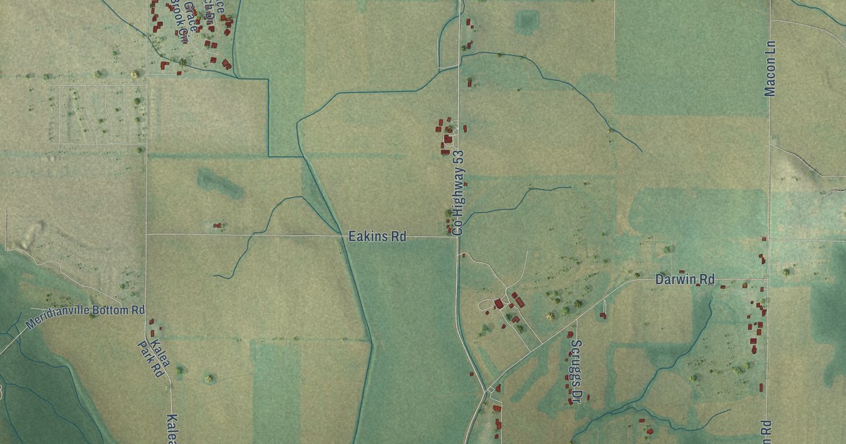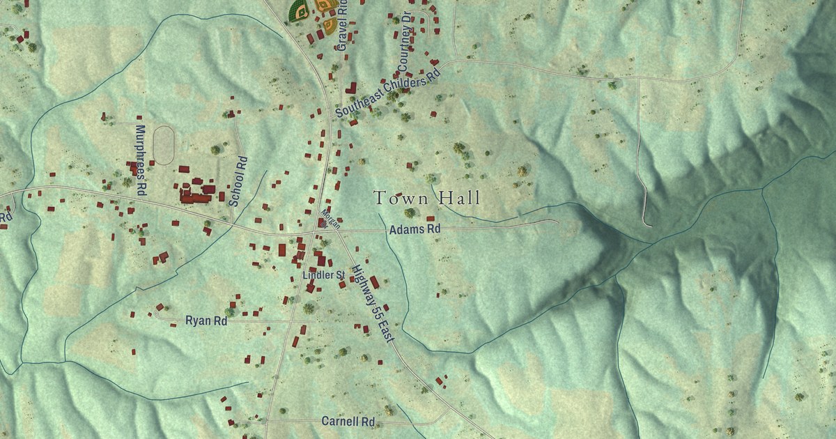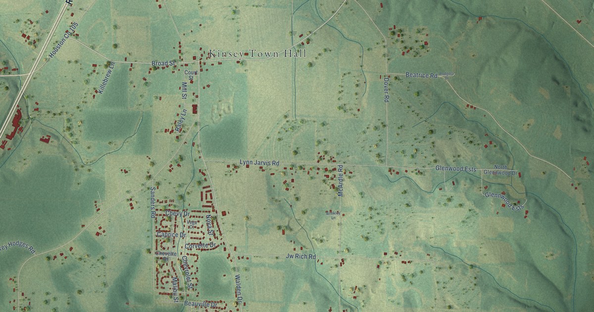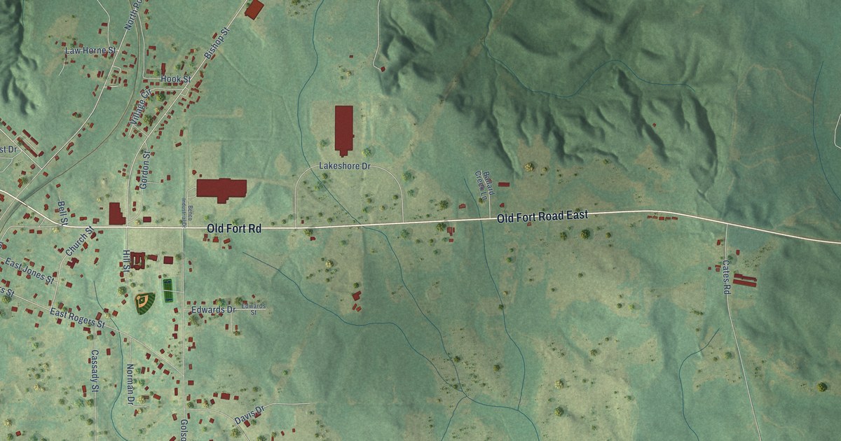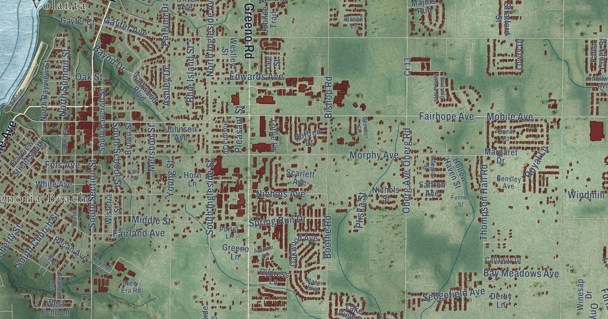
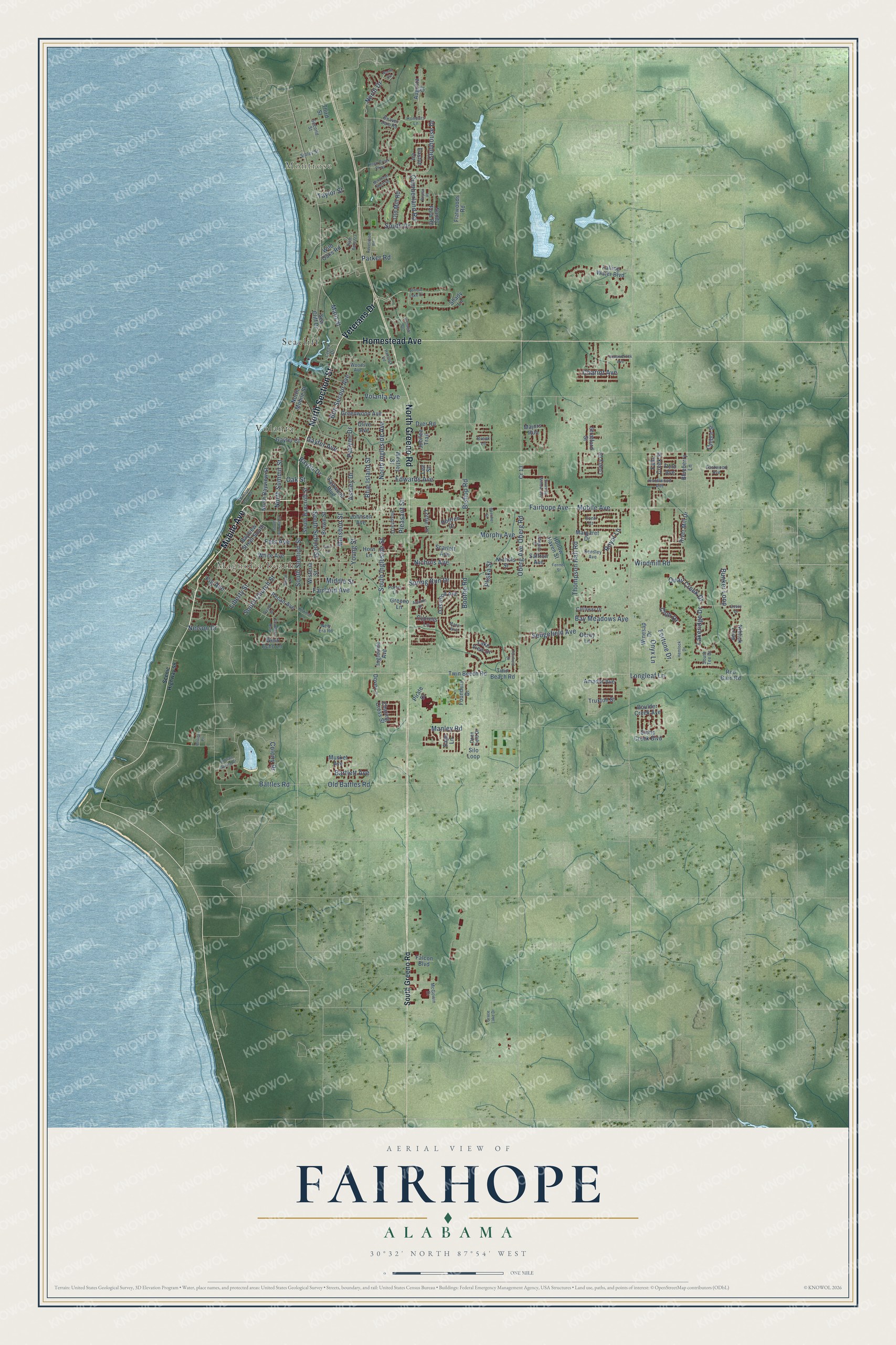
This beautifully detailed map of Fairhope, Alabama was created in 2026 using aerial imagery combined with modern topographical, census, street and landmark data. It's a modern aerial view of Fairhope in Baldwin County, Alabama, that combines modern data with a vintage aesthetic. The roads feature printed names, and if you look closely you can find your exact house accurately shown in its correct location.
Explore an aerial view of Fairhope, Alabama
On this map you'll find Montrose, Magnolia Beach, Seacliff, Volanta, North Section Street, Mobile Avenue, Veterans Drive, North Greeno Road, Homestead Avenue, Fairhope Avenue, Main Street, North Ingleside Avenue, and more. Each red shape is a building, so zoom in on the preview and look for yours.
Fairhope has a story worth telling. The record at encyclopediaofalabama.org puts it this way: "While still in Iowa, he served as editor of the Fairhope Courier, the colony-owned paper."
Fairhope is a city in Baldwin County. The Census Bureau counted 22,477 people here in 2020.
Take a closer look at the Fairhope map
Names on this map
These names are printed on this map.
Places: Montrose, Magnolia Beach, Seacliff and Volanta.
Streets and roads: North Section Street, Mobile Avenue, Veterans Drive, North Greeno Road, Homestead Avenue, Fairhope Avenue, Main Street, North Ingleside Avenue, North Summit Street, North Drive, South Section Street, Colony Drive.
More street names, A to Z
Amador Avenue, Artisan Spring Drive, Ashley Drive, Augusta Court, Autumn Drive, Bartlett Avenue, Battles Road, Bay Meadows Avenue, Bayou Drive, Bayview Street South, Beaver Dam Road, Beecher Street, Bishop Road, Blueberry Lane, Blue Island Street, Bon Secour Avenue, Boone Lane, Boothe Road, Boulder Creek Avenue, Brook Lane, Brown Street, Bunker Loop, Cain Lane, Calibre Street, Callaway Drive, Charing Cross Street, Chariot Avenue, Club Drive, Clubhouse Drive, Conti Court, Covey Drive, Cr 13, Creek Drive, Cumberland Road, Cypress Lane, Derby Lane, Dove Lane, Dyer Road, Dyson Street, Easton Circle, Eastwood Avenue, Edington Street, Edwards Avenue, Fairfield Drive, Fairhope Park Road, Fairland Avenue, Fairwood Boulevard, Falcon Boulevard, Falling Water Boulevard, Falls Creek Street, Fels Avenue, Fennec Street, Fig Avenue, Flatwoods Road, Fortune Drive, Founders Drive, Gayfer Avenue, Gayfer Court, Grace Lake Drive, Greeno Lane, Greenwood Avenue, Hancock Road, Hemlock Drive, Hoffren Drive, Hollowbrook Avenue, Hollow Haven Street, Honours Lane, Horn Lane, Hospital Drive, Ingleside Avenue, Johnson Avenue, Jubilee Trail, Kensley Avenue, Kirkman Lane, Knollwood Avenue, Lakeridge Drive, Lake View Drive, Lee Street, Liberty Street, Longleaf Lane, Lottie Lane, Lowry Drive, Majors Run, Manley Road, Manor Boulevard, Margaret Drive, McGowin Drive, McIntosh Bluff Road, Mershon Street, Middle Street, Morphy Avenue, Musket Avenue, Nelson Drive, New Era Road, Niblick Loop, Nichols Avenue, Nichols Street, North Bayview Street, North Circle, North Mobile Street, Oak Street, Oakwood Avenue, Oberg Avenue, Oberg Road, Old Battles Road, Old Mill Road, Olive Avenue, Onyx Lane, Open Field Drive, Parker Road, Patlynn Drive, Pecan Avenue, Petz Avenue, Pirate Drive, Pleasant Street, Pliska Street, Poplar Place, Porter Lane, Poviner Place, Quail Creek Drive, Red Barn Road, Revelation Road, River Mill Drive, Rock Creek Parkway, Royal Lane, Saffron Avenue, Sage Lane, Sandy Ford Road, Scarlett Avenue, Scenic Highway 98, Sea Cliff Drive, Second Street, Sedgefield Avenue, Shady Lane, Sibley Street, Silo Loop, South Bancroft Street, South Church Street, South Drive, Southern Run, South Greeno Road, South Ingleside Street, South School Street, South Summit Street, South Tee Drive, Spring Run Drive, Stone Creek Boulevard, Stratford Street, Swaying Willow Avenue, Taylor Street, Third Street, Thompson Hall Road, Truxton Street, Twin Beach Road, Twin Beech Road, Viale Bellezza, Victorian Drive, Volanta Avenue, West Echo Lane, Westley Street, White Avenue, Wild Oaks Road, Willow Lake Drive, Windmill Road, Winesap Drive, Wisteria Street, Woods Avenue, Young Street.
Created by KNOWOL in 2026. The buildings are small red shapes, the roads carry their printed names, and shaded relief shows the shape of the land. The title panel reads "AERIAL VIEW OF FAIRHOPE ALABAMA" with 30°32' NORTH 87°54' WEST.
It looks right in a kitchen, an office or a den, and it's a gift for anyone who grew up in Fairhope or moved away. Open the preview and find your street. See sizes and frames for the Fairhope map.