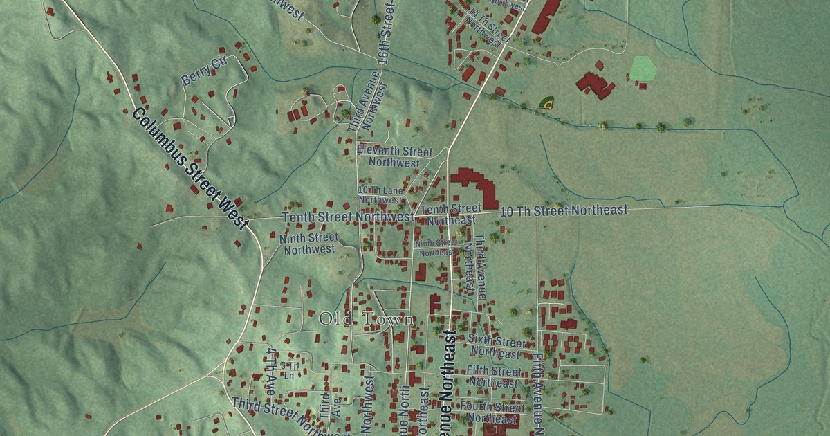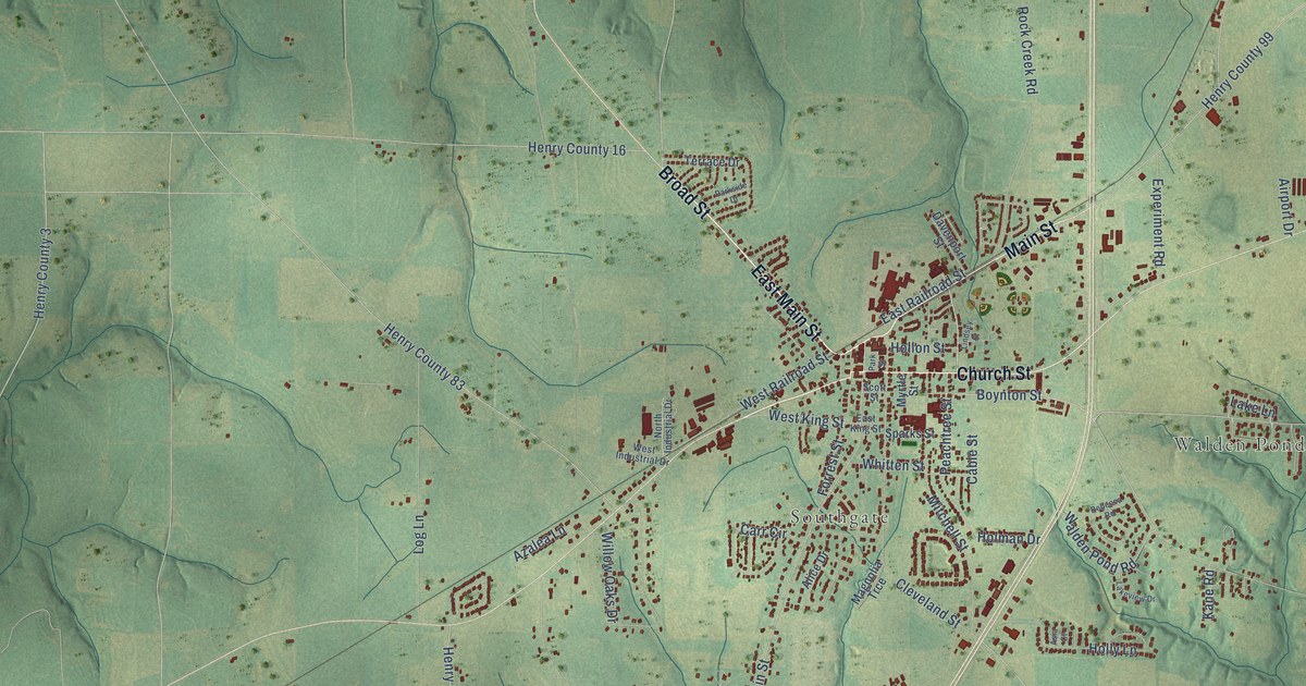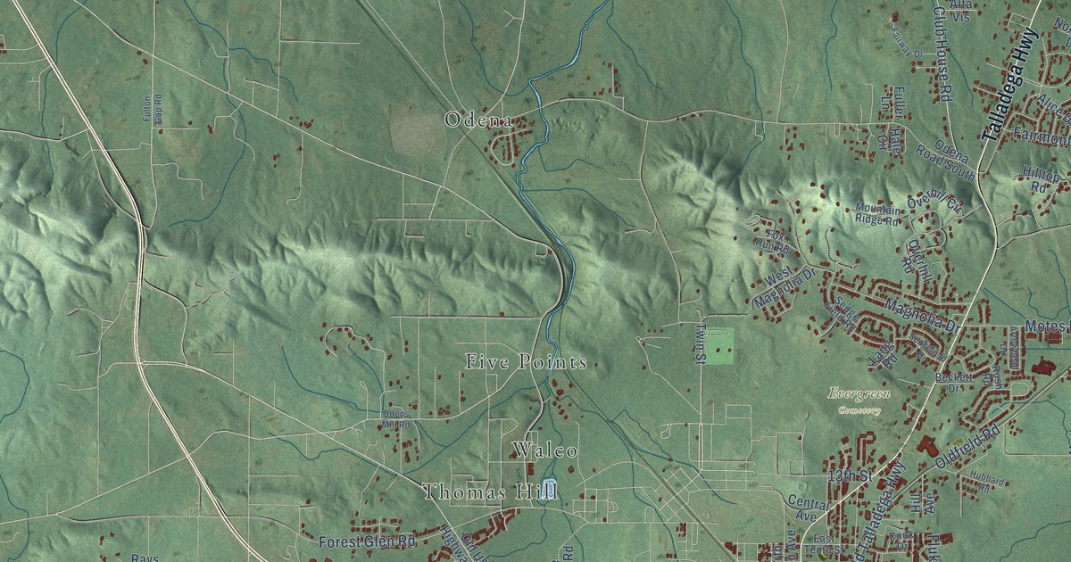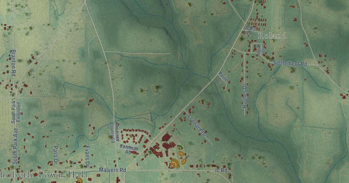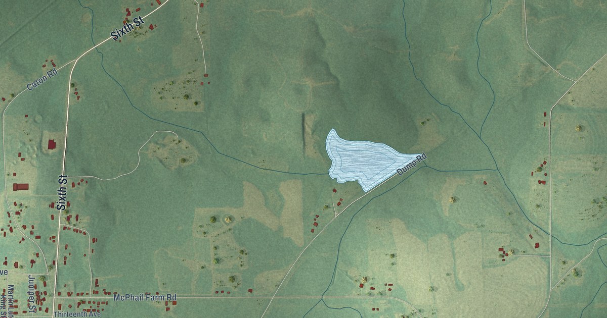
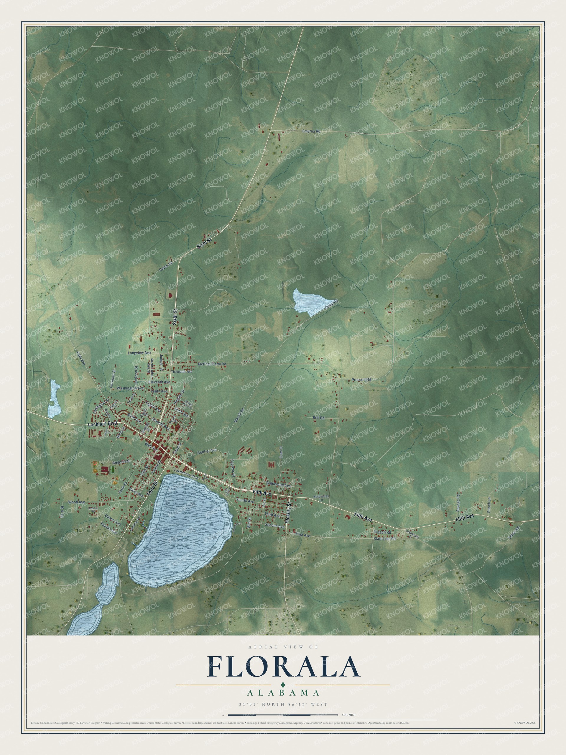
This beautifully detailed map of Florala, Alabama was created in 2026 using aerial imagery combined with modern topographical, census, street and landmark data. It's a modern aerial view of Florala in Covington County, Alabama, that combines modern data with a vintage aesthetic. The roads feature printed names, and if you look closely you can find your exact house accurately shown in its correct location.
Explore an aerial view of Florala, Alabama
On this map you'll find Fifth Avenue, Lockhart Boulevard, Sixth Street, Third Street, Hickory Street, Sixth Avenue, Ninth Avenue, Caton Road, Tetter Road, Fifth Street, Eighth Avenue, Fourth Street, and more. Each red shape is a building, so zoom in on the preview and look for yours.
Florala has a story worth telling. The record at encyclopediaofalabama.org puts it this way: "Louisville and Nashville Railroad Depot The early part of the twentieth century was a boom time for Florala because of the burgeoning forestry and naval stores industry."
Florala is a town in Covington County. The Census Bureau counted 1,923 people here in 2020.
Take a closer look at the Florala map
Names on this map
These names are printed on this map.
Streets and roads: Fifth Avenue, Lockhart Boulevard, Sixth Street, Third Street, Hickory Street, Sixth Avenue, Ninth Avenue, Caton Road, Tetter Road, Fifth Street, Eighth Avenue, Fourth Street.
More street names, A to Z
Acorn Street, Alabama Street, Begonia Street, Bell Road, Central Avenue, Covington Street, Creech Road, Cypress Street, Daisy Avenue, Dewight Stone Avenue, Dewrell Street, Dump Road, East Eighth Street, Eighth Street, Eleventh Avenue, Eleventh Street, Elm Street, Fern Street, First Avenue, Fir Street, Florida Avenue, Fourth Avenue, Gilmer Avenue, Goldenrod Avenue, Gum Street, Harbushay Lane, Hughes Street, Jackson Street, Juniper Street, Lakeshore Boulevard, Lakewood Drive, Landing Avenue, Longview Avenue, Martin Luther King Street, McDuffie Avenue, McPhail Farm Road, Merrill Road, Ninth Street, Pecan Street, Prescott Road, Ranch Lane, Savage Road, Second Avenue, Seventh Avenue, Seventh Street, Smyrna Road, State Line Road, Tenth Avenue, Tenth Street, Third Avenue, Thirteenth Avenue, Victoria Lane, Virginia Court, Wall Avenue, Washington Avenue, Wood Avenue.
Created by KNOWOL in 2026. The buildings are small red shapes, the roads carry their printed names, and shaded relief shows the shape of the land. The title panel reads "AERIAL VIEW OF FLORALA ALABAMA" with 31°01' NORTH 86°19' WEST.
It looks right in a kitchen, an office or a den, and it's a gift for anyone who grew up in Florala or moved away. Open the preview and find your street. See sizes and frames for the Florala map.