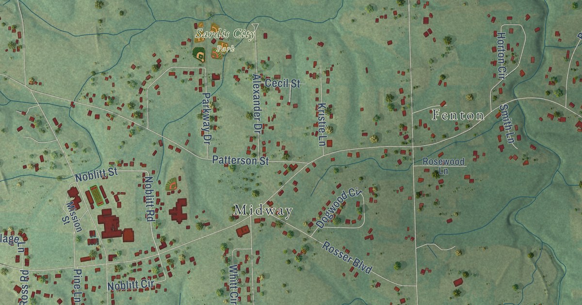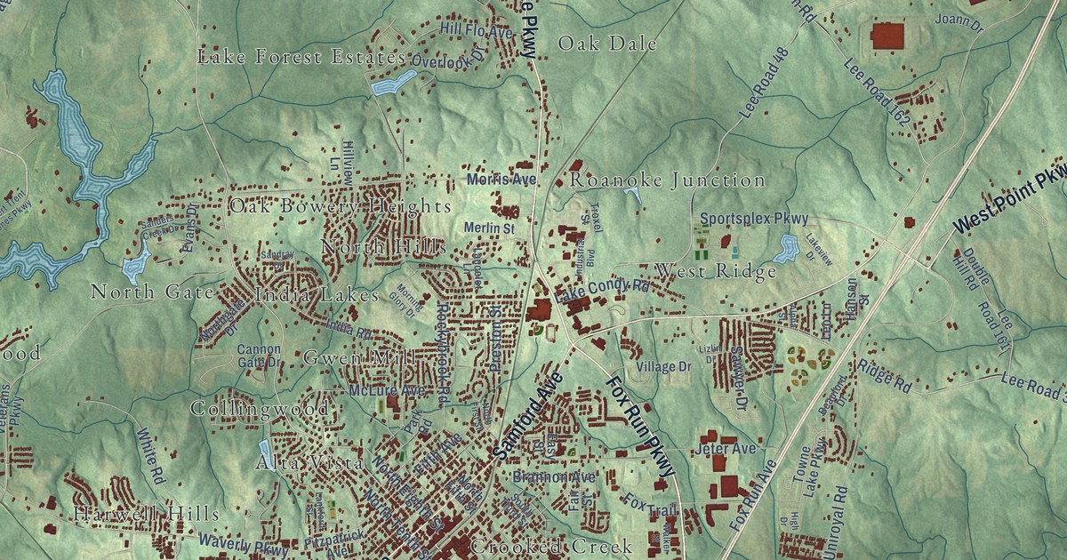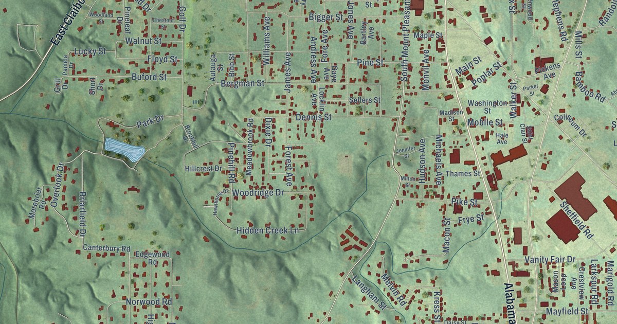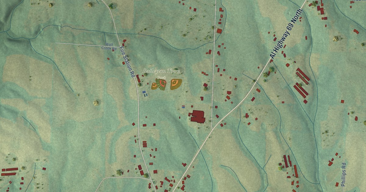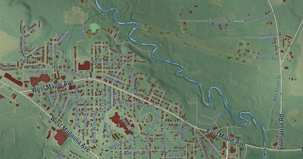
This beautifully detailed map of Geneva, Alabama was created in 2026 using aerial imagery combined with modern topographical, census, street and landmark data. It’s a one-of-a-kind view of Geneva that combines accurate data with a vintage aesthetic. The map shows every building in its true location, many of the roads carry their names, and the shaded topographic relief shows the shape of the land.
Explore an aerial view of Geneva, Alabama
On the map you’ll find Somerset, along with West Magnolia Avenue, West Maple Avenue, East Magnolia Avenue, East Maple Avenue, Maple Avenue, Sizemore Highway, Al Highway 85, West State Highway 52, Enterprise Road, South Morris Street, South Borland Street, and more. If you look closely you can even find your house accurately drawn in its correct location. Zoom in on the preview to look for yours.
Did you know this piece of Geneva, Alabama history?
From Encyclopediaofalabama.org: "The Geneva Public Library, more commonly known as the Emma Knox Kenan Public Library after its first librarian, was established in 1904 and moved into its current location in 1931."
Take a closer look at the Geneva map
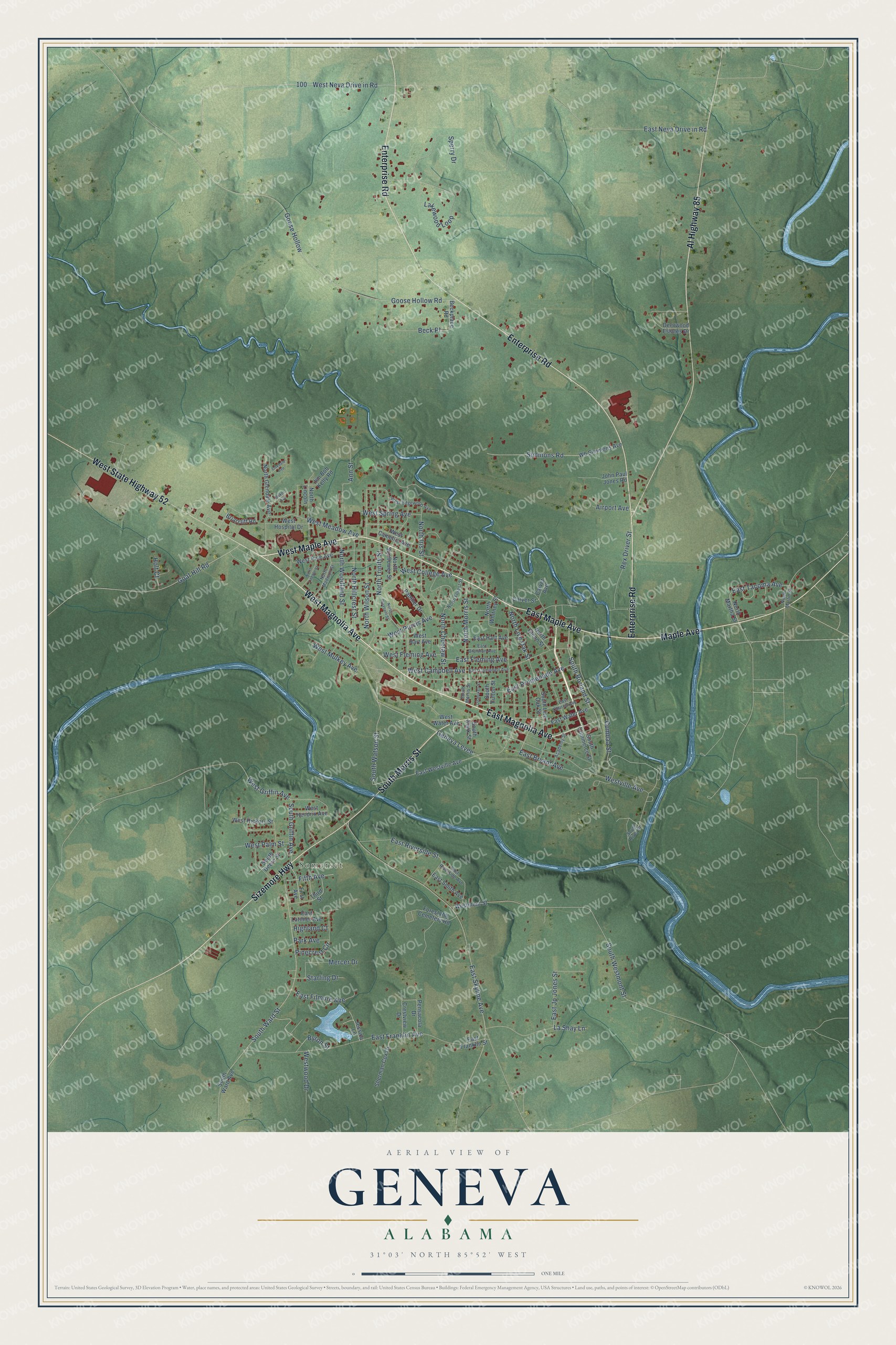
Street and place names on the Geneva, Alabama map
These names are printed on the map of Geneva, Alabama.
Places: Somerset.
Streets and roads: West Magnolia Avenue, West Maple Avenue, East Magnolia Avenue, East Maple Avenue, Maple Avenue, Sizemore Highway, Al Highway 85, West State Highway 52, Enterprise Road, South Morris Street, South Borland Street, Geneva Levee.
More street names, A to Z
Academy Street, Airport Avenue, Ann Street, Baker Avenue, Beck Place, Beckplace Road, Briarcliff Road, Byron Street, Carver Avenue, Carver Street, Crestview Drive, Cumbaa Street, Deerwood Estates Drive, Dismukes Street, East Brannon Avenue, East Bryant Avenue, East Campbell Avenue, East Church Avenue, East Filmore Avenue, East Fleming Avenue, East Franklin Avenue, East Franklin Street, East Hart Avenue, East Jp Jones Street, East Latimer Avenue, East Neva Drive in Road, East Promenade Avenue, East Riverside Avenue, East Riverside Street, East Skyline Avenue, East Smith Avenue, East Tacoma Avenue, East Water Avenue, East Westville Avenue, Fifth Avenue, First Avenue, Forest Hill Cemetery Road, Goat Hill Road, Goose Hollow, Goose Hollow Road, Highland Court, Holt Court, Jessica Lane, Jim Bob Kelly Road, John Paul Jones Road, Lakewood Loop, La Shay Lane, Mercer Drive, North Choctaw Street, North Forest Street, North Glendale Avenue, North Glenn Street, North Hillcrest Street, North Iris Street, North Lincoln, North Lincoln Street, North Live Oak Street, North Madison Street, North Martha Street, North Martin Street, North Morris Street, North Pleasant Street, North Sunflower Street, North Trinity Street, North Whitney Street, North Wilson Street, North Woodland Street, Oakdale Avenue, Panther Drive, Park Avenue, Pensacola Drive, Pinecrest Circle, Rex Driver Street, Sherman Cox Drive, Simmons Road, South Clark Street, South Commerce Street, South Deere Street, South Fulton Street, South Griffin Avenue, South Live Oak Street, South River Street, South Ward Avenue, South Ward Street, South Watson Street, South Westmont Street, Sperry Drive, Starling Drive, Third Street, Wb Simmons Avenue, West Camellia Avenue, West Campbell Avenue, West College Avenue, West Edgewood Avenue, West Fleming Avenue, West Griffin Avenue, West Hart Avenue, West Hendrix Avenue, West Hickory Street, West Hospital Drive, West Meadow Avenue, Westmont Street, West Mulkey Avenue, West Neva Drive in Road, West Palm Street, West Pine Avenue, West Purvis Avenue, West Spring Avenue, Westville Avenue, West Water Avenue, Westwood Drive.
See the Geneva, Alabama map on a wall
The Geneva map as an 18 x 24 inch print in a black frame.

This beautifully detailed map of Geneva makes an attractive addition to your office, library, or den, and it can even be used to teach children the geography and history of the area. It also makes a great gift for anyone who grew up in Geneva or moved away. When you’re done exploring, click here to get your copy of the Geneva map.