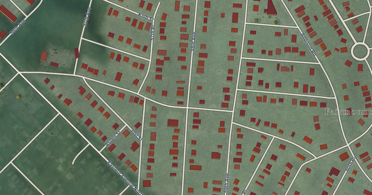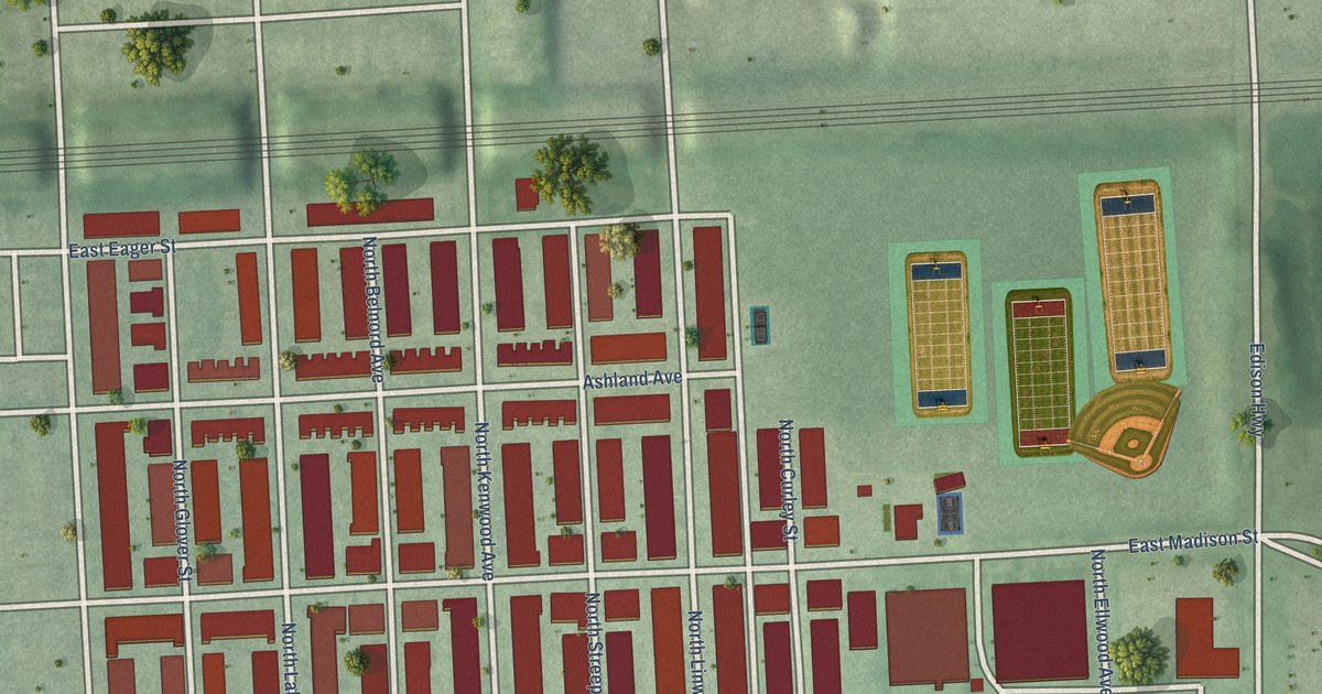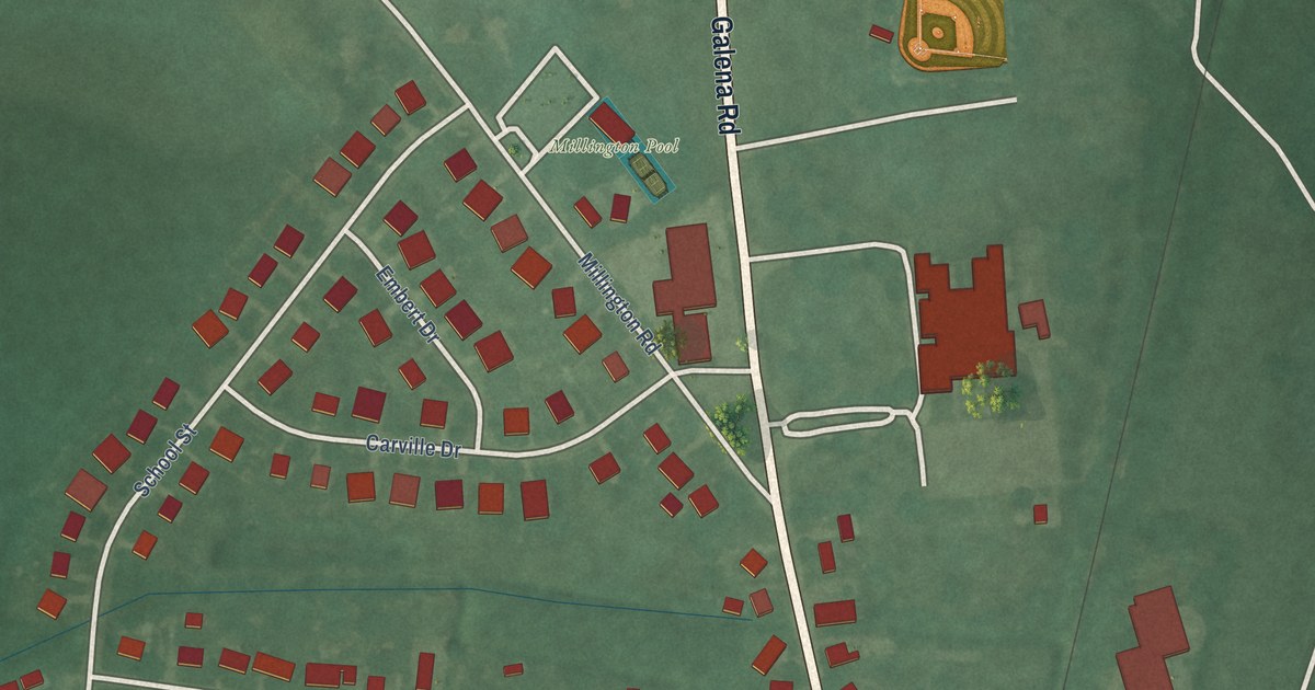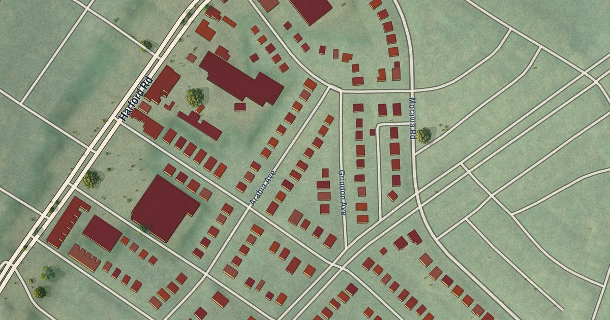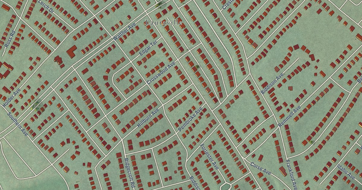
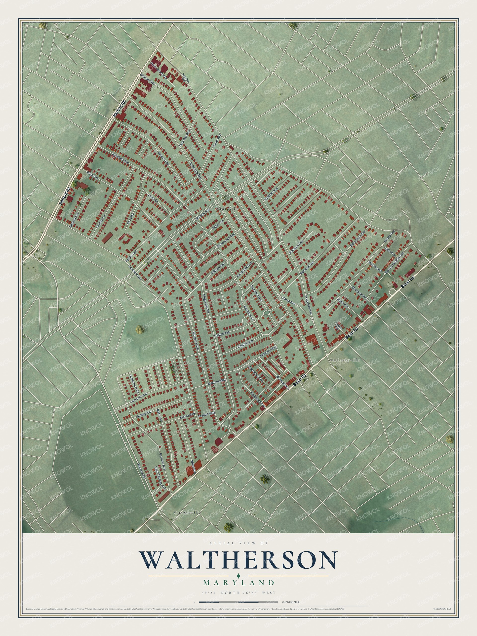
This beautifully detailed map of Waltherson, Maryland was created in 2026 using aerial imagery combined with modern topographical, census, street and landmark data. It's a modern aerial view of Waltherson in Baltimore City, Maryland, that combines modern data with a vintage aesthetic. The roads feature printed names, and if you look closely you can find your exact house accurately shown in its correct location.
Explore an aerial view of Waltherson, Maryland
On this map you'll find Anthonyville, Gardenville, Lauraville, Belair Road, Harford Road, Moravia Road, Ridgecroft Road, Forrester Avenue, Walther Avenue, Echodale Avenue, Southern Avenue, Frankford Avenue, and more. Each red shape is a building, so zoom in on the preview and look for yours.
Here is a piece of Waltherson history, in the words of the record. The Live Baltimore puts it this way: "Waltherson is a beautiful residential community in Northeast Baltimore. With more than 2,500 homes in its boundaries, it is one of the largest neighborhoods in the city."
Waltherson is a neighborhood in Baltimore City.
Take a closer look at the Waltherson map
Names on this map
These names are printed on this map.
Places: Anthonyville, Gardenville and Lauraville.
Streets and roads: Belair Road, Harford Road, Moravia Road, Ridgecroft Road, Forrester Avenue, Walther Avenue, Echodale Avenue, Southern Avenue, Frankford Avenue, Rueckert Avenue, Woodlea Avenue, Gibbons Avenue.
More street names, A to Z
Ailsa Avenue, Arabia Avenue, Ardmore Way, Arizona Avenue, Batavia Avenue, Belle Vista Avenue, Belwood Avenue, Benton Heights Avenue, Biddison Avenue, Biddison Lane, Carter Avenue, Cedarhurst Road, Chesmont Avenue, Corse Avenue, Creston Avenue, Crosswood Avenue, Edgar Terrace, Eugene Avenue, Grenton Avenue, Hamilton Avenue, Hillburn Avenue, Hilltop Avenue, Holder Avenue, Idaho Avenue, Lasalle Avenue, Lerch Drive, Luerssen Avenue, Marx Avenue, Montana Avenue, Oaklyn Avenue, Ohio Avenue, Parkwood Avenue, Pembroke Avenue, Remmell Avenue, Richard Avenue, Ross Road, Saint Johns Avenue, Saint Thomas Avenue, Schley Avenue, Simms Avenue, Thalton Way, Twin Oak Avenue, Wilhome Way, Wilke Avenue.
Created by KNOWOL in 2026. The buildings are small red shapes, the roads carry their printed names, and shaded relief shows the shape of the land. The title panel reads "AERIAL VIEW OF WALTHERSON MARYLAND" with 39°21' NORTH 76°33' WEST.
It suits a den, a classroom or a front hall, and it makes a gift for anyone with Waltherson roots. Open the preview and find the block you know. See sizes and frames for the Waltherson map.