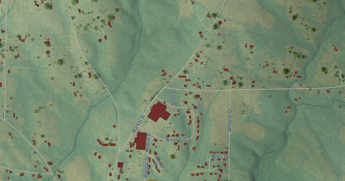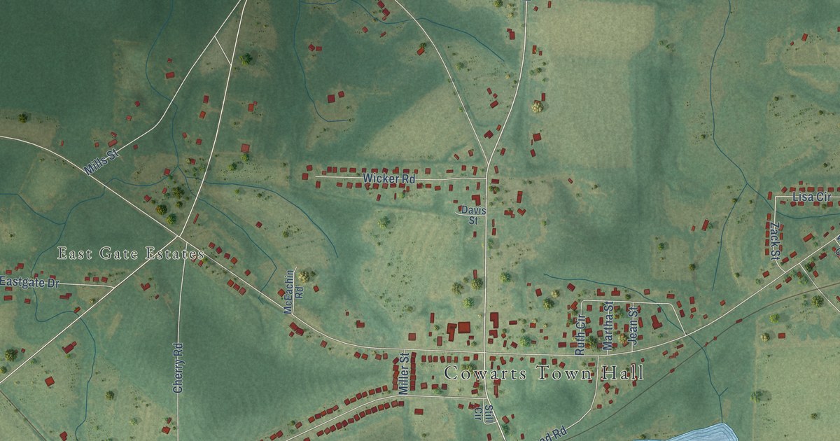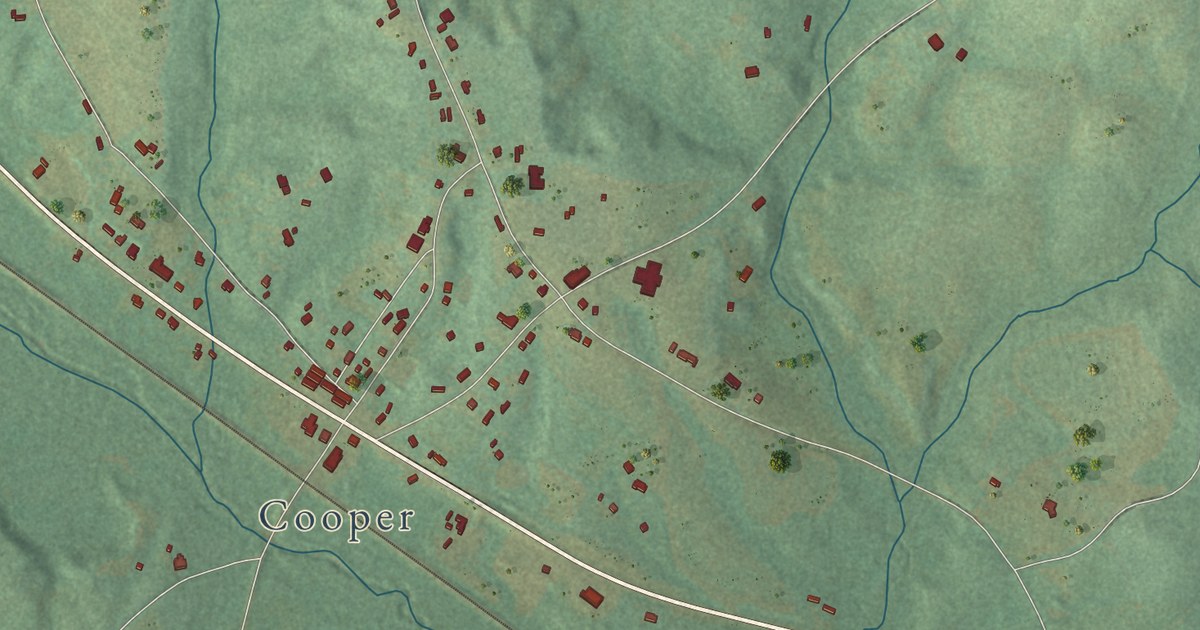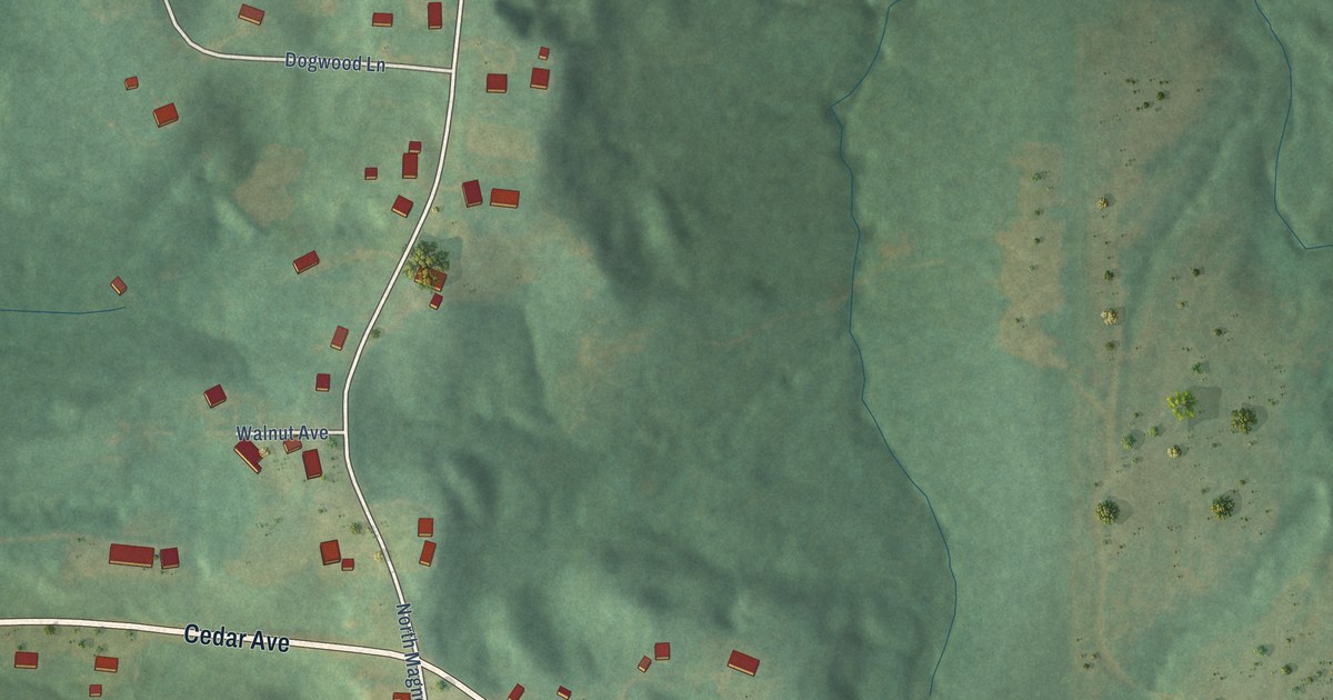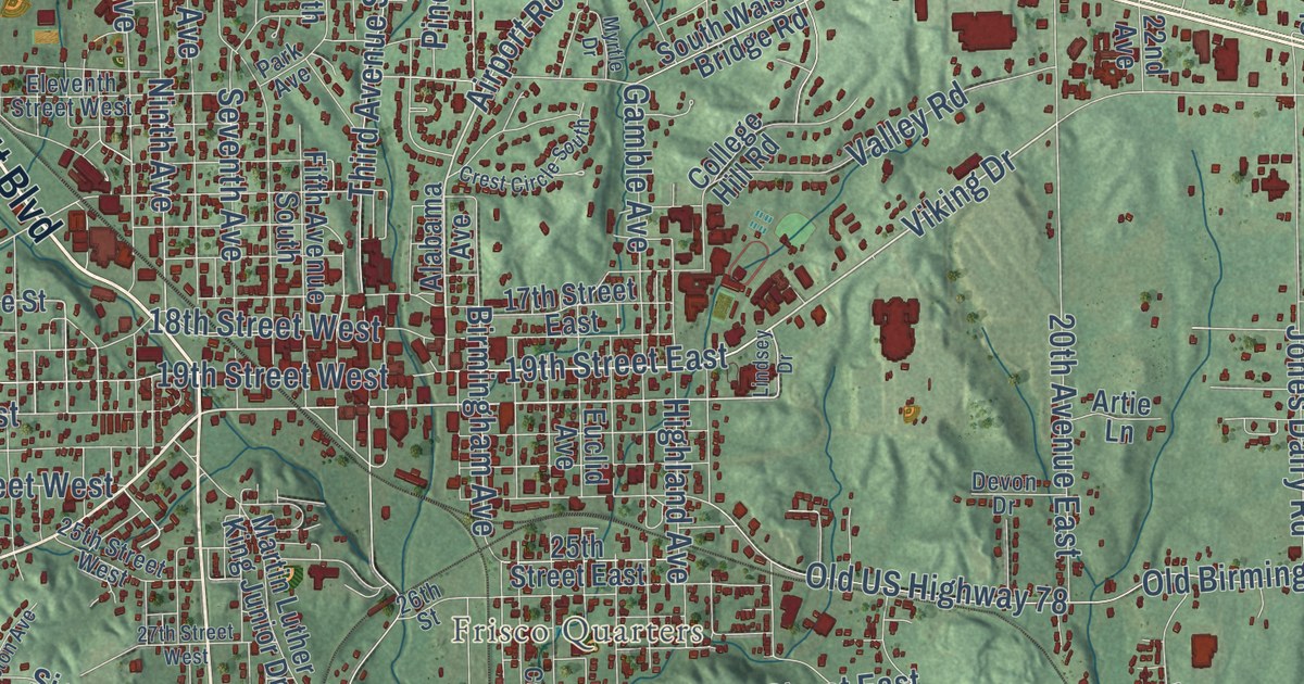
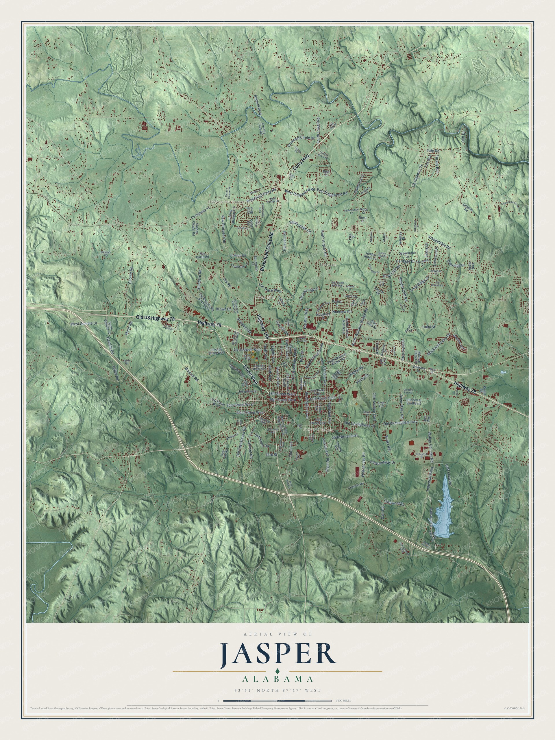
This beautifully detailed map of Jasper, Alabama was created in 2026 using aerial imagery combined with modern topographical, census, street and landmark data. It’s a one-of-a-kind view of Jasper that combines accurate data with a vintage aesthetic. The map shows every building in its true location, many of the roads carry their names, and the shaded topographic relief shows the shape of the land.
Explore an aerial view of Jasper, Alabama
On the map you’ll find Five Points, Frisco Quarters, Hillsdale, Hudson Settlement, McCollum, and Oak Hill, along with Elliott Boulevard, Curry Highway, Brakefield Dairy Road, Highway 78, Highway 195, Old US Highway 78, and more. If you look closely you can even find your house accurately drawn in its correct location. Zoom in on the preview to look for yours.
Did you know this piece of Jasper, Alabama history?
From Encyclopediaofalabama.org: "Jasper's first water and power authority was established in 1905, and the current courthouse was completed in 1907."
Take a closer look at the Jasper map
Street and place names on the Jasper, Alabama map
These names are printed on the map of Jasper, Alabama.
Places: Oak Hill, Frisco Quarters, Hillsdale and Hudson Settlement.
Streets and roads: Elliott Boulevard, Curry Highway, Brakefield Dairy Road, Highway 78, Highway 195, Old US Highway 78, Viking Drive, Birmingham Avenue, 20th Street West, The Mall Way, Airport Road South, North Airport Road.
More street names, A to Z
15th Avenue, 15th Street Northeast, 16th Avenue, 17th Street East, 18th Avenue Northwest, 18th Avenue Southwest, 18th Street West, 19th Street East, 19th Street Southeast, 19th Street West, 20th Avenue East, 21st Street West, 22nd Avenue, 22nd Street West, 25th Street East, 25th Street West, 26th Street, 27th Street West, 29th Street East, 33rd Street, 36th Avenue, Afton Way, Alabama Avenue, Arkadelphia Road, Arrow Road, Artie Lane, Ashwood Drive, Audie Boulevard, Bankston Drive, Blackwell Dairy Road, Bluecut Road, Boardwalk Circle, Briar Cliff Road, Brown Drive, Butler Road, Cain Road, Calumet Road, Carl Cannon Boulevard, Cedarbrook Lane, Charles Fox Road, Charter Road, Cherokee Drive, Cherokee Road, Cliff Drive, Coal City Road, College Hill Road, Cooner Road, Coral Boulevard, Coral Road, Corona Avenue, Country Club Road, County Highway 41, County Highway 51, Creekside Lane, Crescent Circle Drive, Crest Circle South, Deer Street, Devon Drive, Dogwood Trail, East Lake Road, East Ridgewood Road, Eighth Avenue, Eleventh Street West, Elks Drive, Ellis Street, Emily Lane, Emma Lane, Euclid Avenue, Evans Lane, Fairoaks Drive, Falcon Drive, Fernway Drive, Fifth Avenue South, Florida Avenue, Fourth Avenue South, Fowler Field Road, Fox Run, Gamble Avenue, Gamble Road, Gilmore Road, Glen Oaks Drive, Grace Drive, Halal Street, Harrison Shipman Road, Heritage Drive, Hickory Hill Lane, Hidden Ridge Lane, Hidden Ridge Street, Highland Avenue, Hillsdale Road, Hudson Road, Indiana Avenue, Industrial Drive, Industrial Parkway, Jones Dairy Road, Jones Road, Josephine Street, Key Camp Road, Knight Road, Lakewood Drive, Laurel Lane, Laurin Street, Lawson Road, Lenwood Drive, Lindsey Drive, Live Oak Place, Loblolly Lane, Lollar Road, Long Ridge Drive, Martin Luther King Junior Drive, Meadow Way, Medical Center Drive, Misty Hollow Drive, Moon Road, Myrtle Drive, New Prospect Road, Ninth Avenue, North Highland Boulevard, North Walston Bridge Road, Nuna Lane, Oak Hill Road, Oakridge Drive, Oakview Street, Old Birmingham Highway, Old Branch Circle, Old Road, Old Rock Quarry Road, Old Russellville Road North, Old Tuscaloosa Road, Old Wood Lane, Park Avenue, Parrish Street, Pernie Drive, Pine Street, Pineview Road, Plant Road, Pleasantway Drive, Preston Avenue, Prospect Road, Quail Hollow Road, Redmill Boulevard, Ridgebrook Drive, Robinwood Drive, Rolling Meadows Drive, Samaria Road, Sara Lane, Second Avenue, Seventh Avenue, Seventh Street West, Shades Cliff Road, Shadow Wood Drive, Shady Lane, Sharon Lane, Shererwood Drive, Sides Court, Simmons Road, Sixth Avenue, Sixth Avenue South, Sixth Street West, Snoddy Chapel Road, South Gamble Road, South Lowell Road, South Ridge Road, South Skyline Drive, South Walston Bridge Road, Springdale Lane, Stone Ridge Drive, Studdard Road, Sunset Drive, Tate Road, Tenth Avenue, The Trace West, Third Avenue, Third Avenue South, Timberwood Lane, Tommy Robinson Road, Turkey Run, Twelfth Avenue Northeast, Valley Road, Veterans Drive, Walker Co Lake Road, West Gamble Drive, West Lake Road, West Ridgewood Road, Whitehouse Road, Wildflower Lane, Wildwood Drive, Williams Road, Wise Drive, Woodland Drive, Woodley Drive.
See the Jasper, Alabama map on a wall
The Jasper map as an 18 x 24 inch print in a black frame.

This beautifully detailed map of Jasper makes an attractive addition to your office, library, or den, and it can even be used to teach children the geography and history of the area. It also makes a great gift for anyone with Jasper roots. When you’re done exploring, click here to get your copy of the Jasper map.