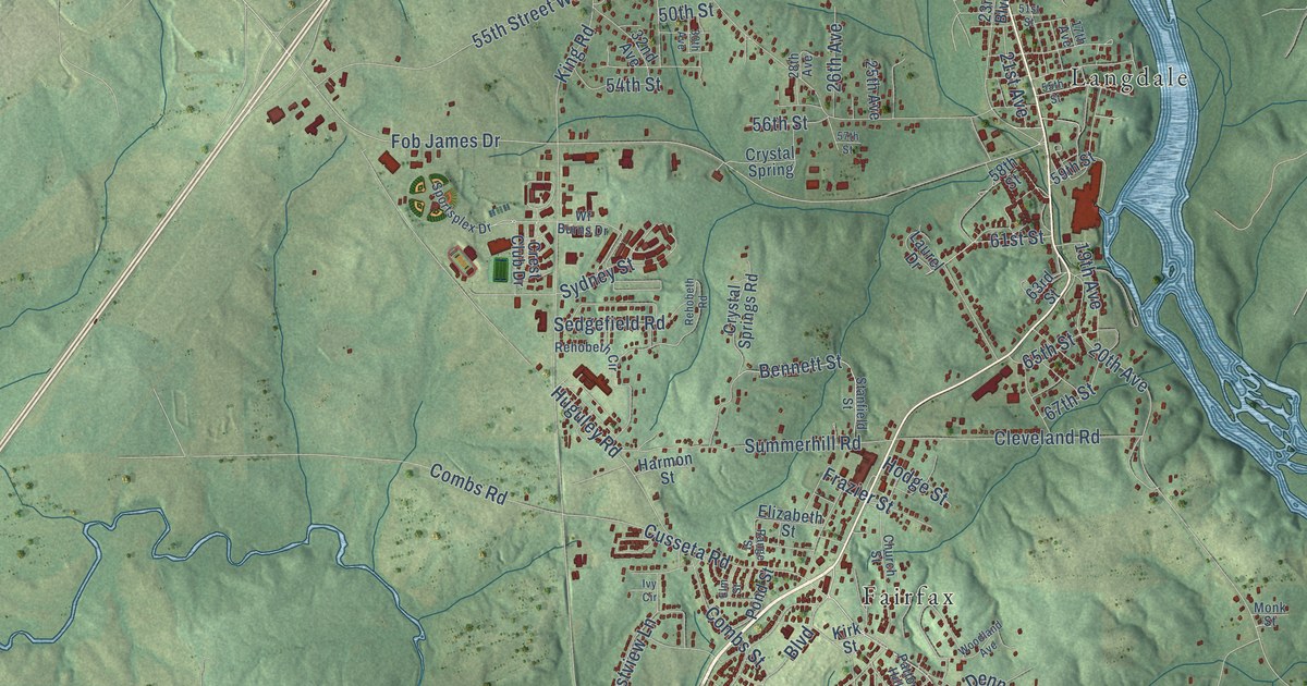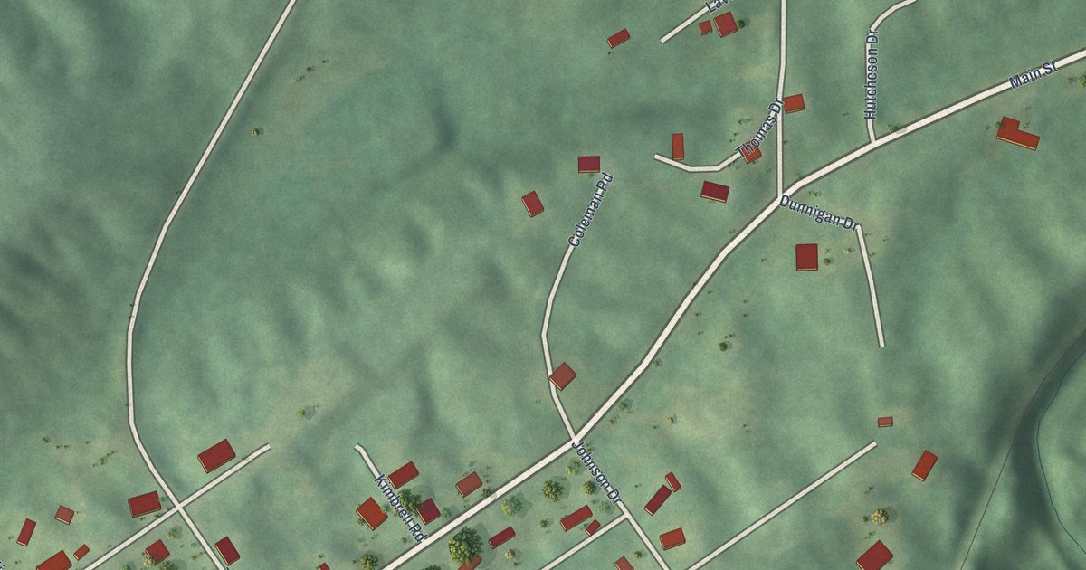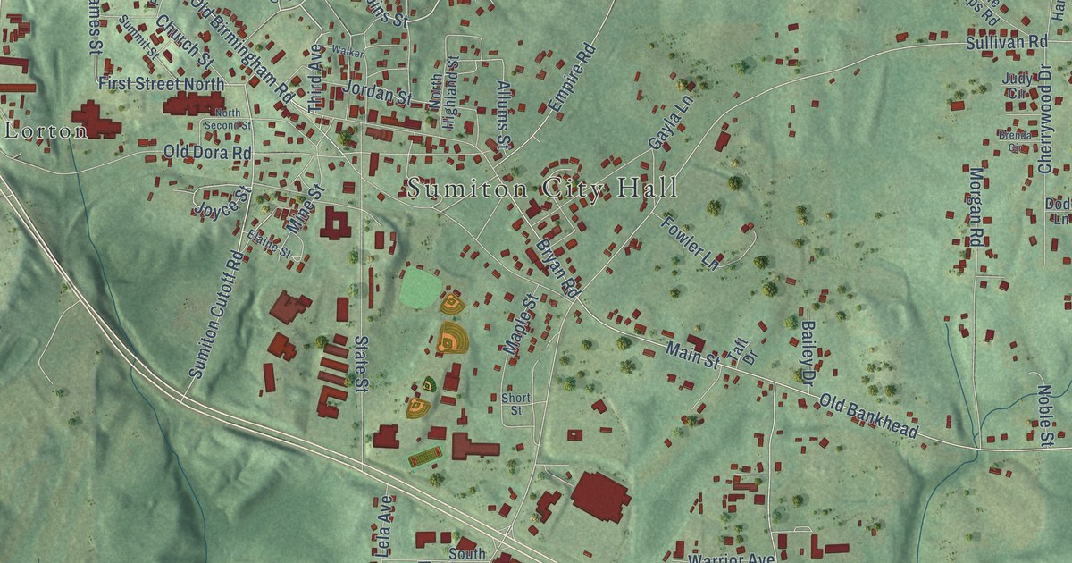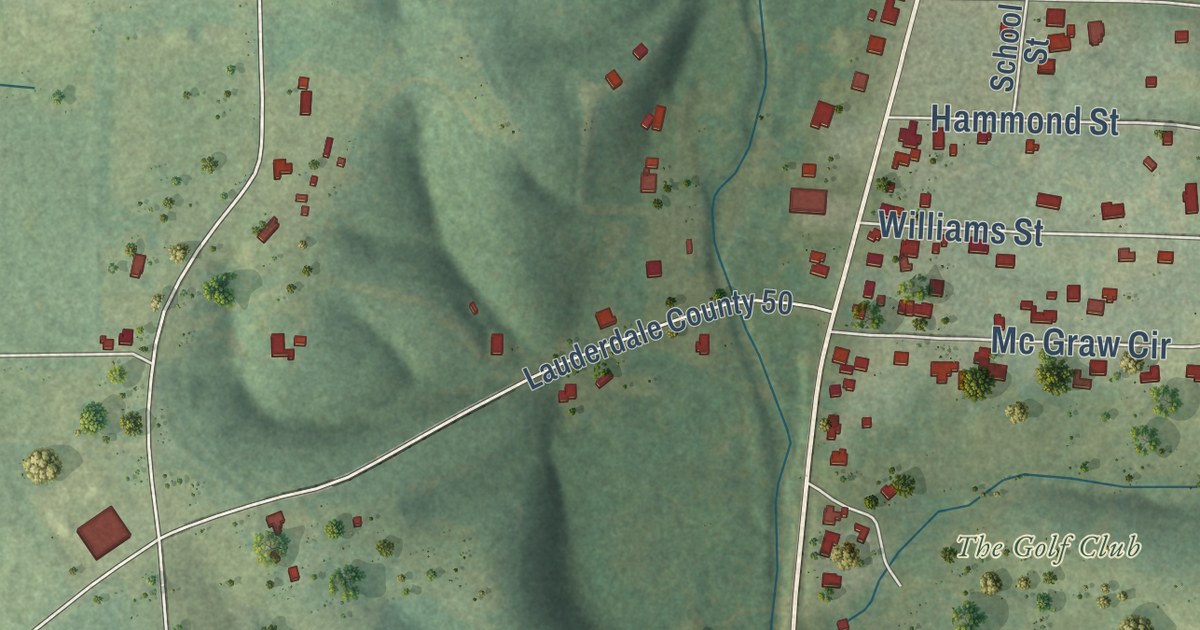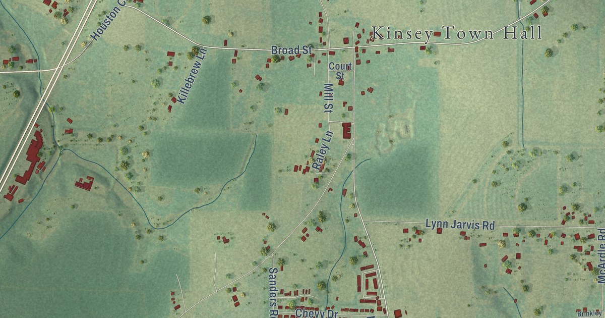
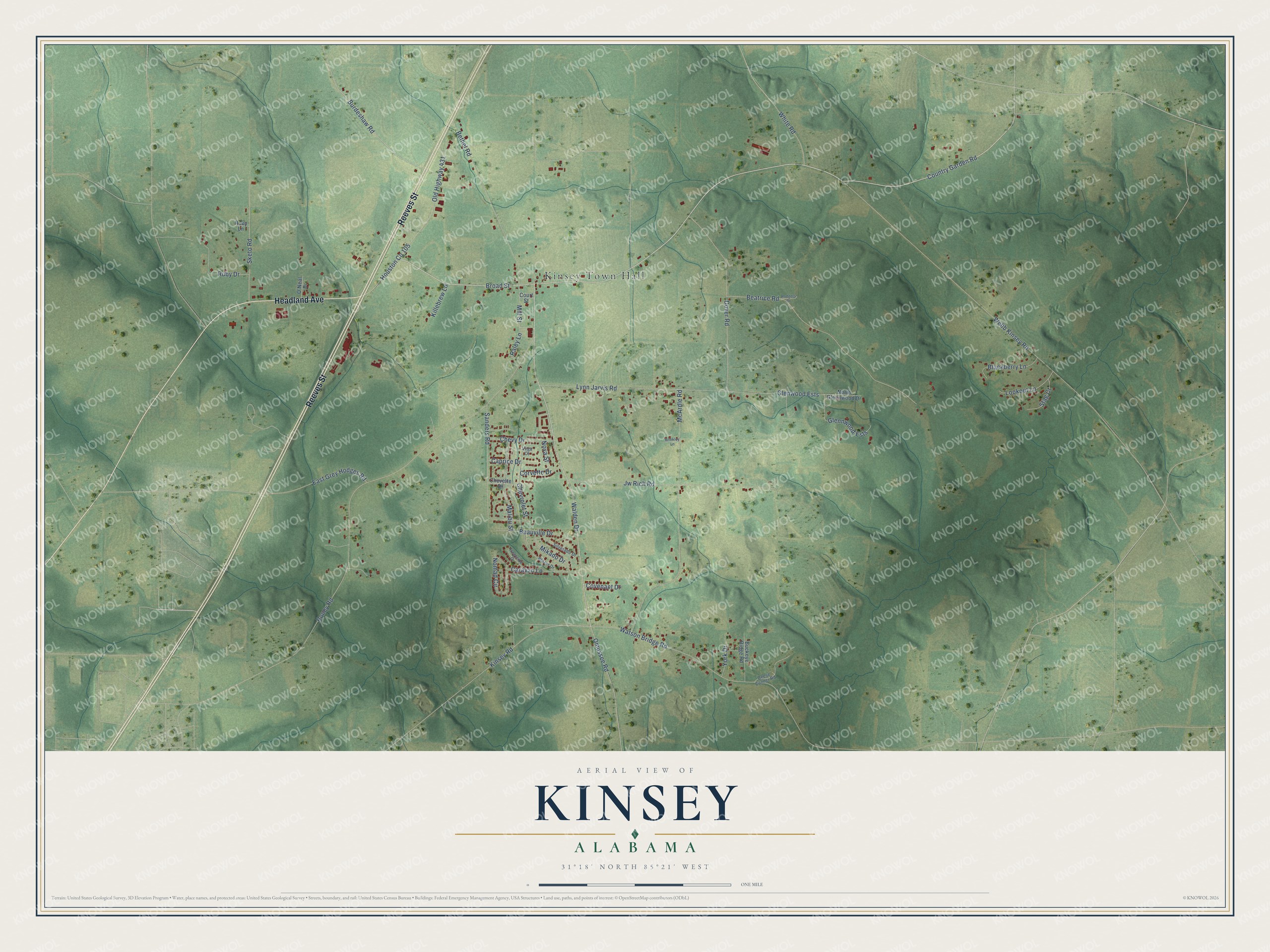
This beautifully detailed map of Kinsey, Alabama was created in 2026 using aerial imagery combined with modern topographical, census, street and landmark data. It’s a one-of-a-kind view of Kinsey that combines accurate data with a vintage aesthetic. The map shows every building in its true location, many of the roads carry their names, and the shaded topographic relief shows the shape of the land.
Explore an aerial view of Kinsey, Alabama
On the map you’ll find Kinsey Town Hall and Glenwood Ests, along with Reeves Street, Headland Avenue, Walden Drive, Kinsey Road, Broad Street, Country Garden Road, Burdeshaw Road, Roney Road, Webb Kinsey Road, McArdle Road, and more. If you look closely you can even find your house accurately drawn in its correct location. Zoom in on the preview to look for yours.
Did you know this piece of Kinsey, Alabama history?
Kinsey grew up around the Forest Home Seminary, a school the Methodist Episcopal Church, North opened in 1882. The school burned in 1885 and was rebuilt as the Mallalieu Seminary. Its most famous pupil was Robert Reynolds Jones. He went on to found Bob Jones University in South Carolina. The seminary closed in the early 1920s. That’s from the Encyclopedia of Alabama.
Take a closer look at the Kinsey map
Street and place names on the Kinsey, Alabama map
These names are printed on the map of Kinsey, Alabama.
Places: Kinsey Town Hall.
Streets and roads: Reeves Street, Headland Avenue, Walden Drive, Kinsey Road, Broad Street, Country Garden Road, Burdeshaw Road, Glenwood Ests, Roney Road, Webb Kinsey Road, McArdle Road, Beatrice Road.
More street names, A to Z
Beauville Drive, Bethel Road, Blackberry Lane, Blazer Drive, Brinkley Lane, Buckeye Ridge Road, Caprice Drive, Caravan Lane, Chevette Drive, Chevrolet Street, Chevy Drive, Corvette Drive, Court Street, Covenant Drive, Deese Conner Road, Dover Road, East Grey Hodges Road, Fleetside Drive, Glennwood Ests, Jw Rich Road, Killebrew Lane, Lookout Lane, Lynn Jarvis Road, Malibu Street, Mikado Drive, Mill Street, Nomad Circle, North Glennwood Drive, Nova Street, O'Neal Drive, Old Highway 431, Omussee Road, Raley Lane, Rodgers Drive, Ruby Drive, Ruby Lane, Sanders Road, Silverado Drive, Sketo Road, Stag Court, Vega Court, Watson Bridge Road, White Road, York Drive.
See the Kinsey, Alabama map on a wall
The Kinsey map as an 18 x 24 inch print in a black frame.

This beautifully detailed map of Kinsey makes an attractive addition to your office, library, or den, and it can even be used to teach children the geography and history of the area. It also makes a great gift for anyone who grew up in Kinsey or moved away. When you’re done exploring, click here to get your copy of the Kinsey map.